Collin's Coppice

Wood, Forest in Essex Uttlesford

England

Collin's Coppice

Junction and Sign The meeting of Hatfield Forest Road/ Wood Row/ Greenhill.
Junction and Sign Credit: David Bremner

Collin's Coppice is a picturesque woodland located in Essex, England. Spread across a vast area of land, this forest is a popular destination for nature lovers and outdoor enthusiasts. The coppice is named after the Collin family, who were the original owners and custodians of the land.

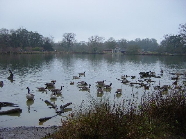
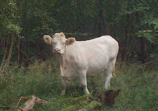
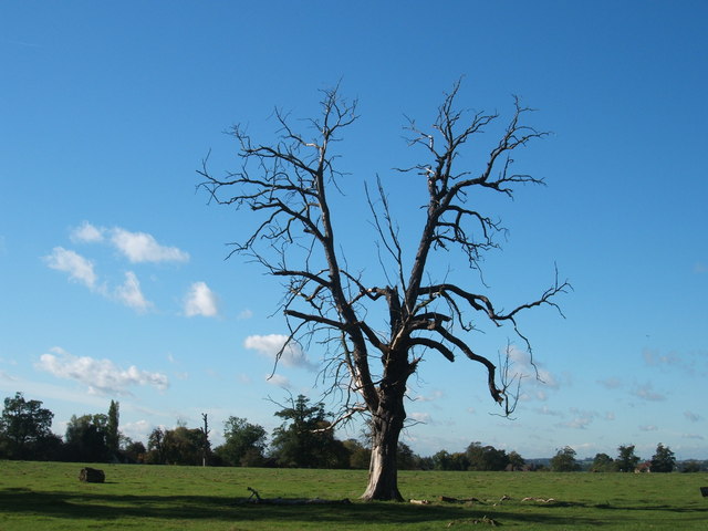
The woodland is characterized by its dense canopy of trees, predominantly consisting of oak, beech, and birch. These towering trees provide a habitat for a diverse range of wildlife, including various species of birds, mammals, and insects. Visitors can often spot deer, foxes, and squirrels roaming freely in their natural habitat.

The forest is crisscrossed by a network of well-maintained trails, making it an ideal location for walking, jogging, and cycling. The paths wind through the woods, allowing visitors to immerse themselves in the tranquility of nature. In spring, the forest floor is carpeted with vibrant bluebells, creating a stunning visual spectacle.

Collin's Coppice also offers several recreational facilities for visitors. There are designated picnic areas where families and friends can enjoy a leisurely outdoor meal amidst the serene surroundings. Additionally, the forest is equipped with barbecue pits, allowing visitors to indulge in traditional outdoor cooking.

The woodland is managed by a team of dedicated conservationists who work tirelessly to preserve its natural beauty and protect the diverse ecosystem it supports. Educational programs and guided tours are occasionally organized to raise awareness about the importance of conservation and to provide visitors with in-depth knowledge about the forest's flora and fauna.

In conclusion, Collin's Coppice is a remarkable woodland in Essex, offering a tranquil escape from the hustle and bustle of daily life. With its stunning natural beauty, diverse wildlife, and recreational facilities, it is a must-visit destination for nature enthusiasts and those seeking a peaceful retreat.

If you have any feedback on the listing, please let us know in the comments section below.

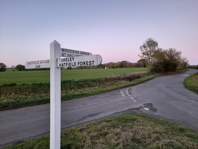
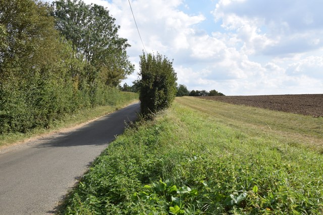
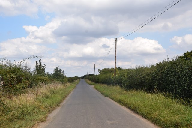
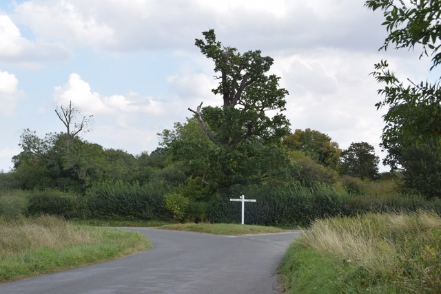
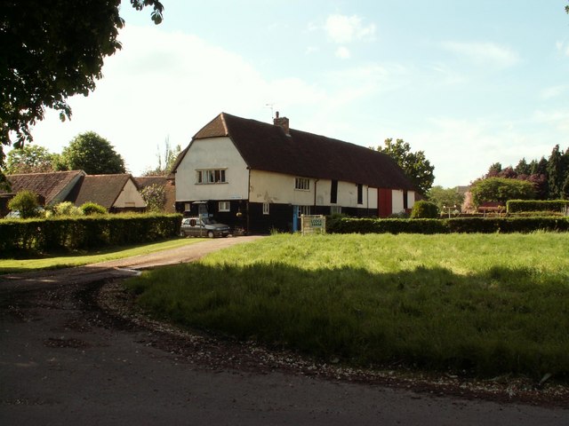
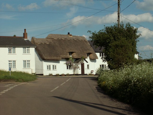
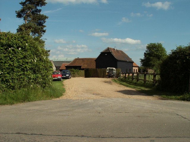
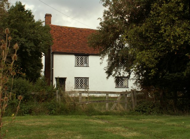
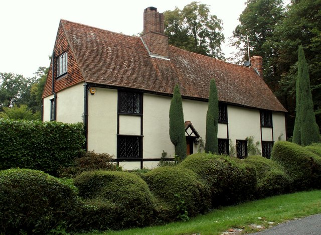
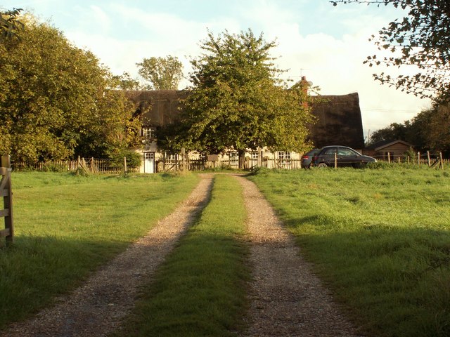
Collin's Coppice Images

Images are sourced within 2km of 51.851917/0.23119829 or Grid Reference TL5319. Thanks to Geograph Open Source API. All images are credited.

Junction and Sign The meeting of Hatfield Forest Road/ Wood Row/ Greenhill.
Junction and Sign
The meeting of Hatfield Forest Road/ Wood Row/ Greenhill.
Field, lane and a bit of hedgerow Taken on the lane between Copperfields and Forest Hall.
Field, lane and a bit of hedgerow
Taken on the lane between Copperfields and Forest Hall.
Straight road near Forest Farm This very straight section is about a kilometre in length and may mark the route of a Roman road heading for Takeley Street (several other straight sections occur between here and Takeley Street). "Street" in a place name often denotes a settlement on a Roman road and indeed Takeley Street is on Stane Street running east to west. I think it's not too fanciful to see this as a Roman route to Stane Street.
Straight road near Forest Farm
This very straight section is about a kilometre in length and may mark the route of a Roman road heading for Takeley Street (several other straight sections occur between here and Takeley Street). "Street" in a place name often denotes a settlement on a Roman road and indeed Takeley Street is on Stane Street running east to west. I think it's not too fanciful to see this as a Roman route to Stane Street.
Finger post at junction near Bridgefoot Farm Directions shown are left to Takeley and Hatfield Forest, right to Hatfield Broad Oak, and towards the photographer, to Woodside Green and Hallingbury. For a close-up see photo from contributor David Bremner <a href="https://www.geograph.org.uk/photo/7329457">TL5418 : Junction and Sign</a>
Finger post at junction near Bridgefoot Farm
Directions shown are left to Takeley and Hatfield Forest, right to Hatfield Broad Oak, and towards the photographer, to Woodside Green and Hallingbury. For a close-up see photo from contributor David Bremner TL5418 : Junction and Sign
Little Barrington Hall Farm
Hatfield Forest. Now a popular park cared for by the National Trust.
Hatfield Forest.
Now a popular park cared for by the National Trust.
The Shell House, Hatfield Forest Jacob Houblon III built The Shell House in about 1754. It was attached to a cottage by his new lake and was occupied by a housekeeper who kept poultry and peacocks. The cottage was later demolished. The Shell House has recently been restored by The National Trust.
The Shell House, Hatfield Forest
Jacob Houblon III built The Shell House in about 1754. It was attached to a cottage by his new lake and was occupied by a housekeeper who kept poultry and peacocks. The cottage was later demolished. The Shell House has recently been restored by The National Trust.
The Lake, Hatfield Forest Looking SW across to the Shell House. This lake was created by Jacob Houblon III in circa 1750 from marshland fed by the Shermore Brook.
The Lake, Hatfield Forest
Looking SW across to the Shell House. This lake was created by Jacob Houblon III in circa 1750 from marshland fed by the Shermore Brook.
Lodge Farm, Essex This farm is situated at the southern end of Hatfield Forest, near to Little Hallingbury.
Lodge Farm, Essex
This farm is situated at the southern end of Hatfield Forest, near to Little Hallingbury.
Cottages at Greenhill, near Hatfield Broad Oak, Essex
Forest Farm, near Hatfield Broad Oak, Essex
House at Bush End, near Hatfield Forest, Essex
Howletts, Hallingbury Street, Essex Hallingbury Street is a dead-end road that is full of interesting houses. This old house stands by the start of the street in Bedlars Green.
Howletts, Hallingbury Street, Essex
Hallingbury Street is a dead-end road that is full of interesting houses. This old house stands by the start of the street in Bedlars Green.
Bridgefoot Farm and footbridge The farm gets its name from standing by the footbridge, which is used when the small stream running beneath floods the road.
Bridgefoot Farm and footbridge
The farm gets its name from standing by the footbridge, which is used when the small stream running beneath floods the road.
Thatched cottage, close to Hatfield Forest, Essex
Heifer, Lodge Coppice, Hatfield Forest
Woodside Green, National Trust, near Hatfield Forest
High House Farm, Bush End
Show me another place!

Collin's Coppice is located at Grid Ref: TL5319 (Lat: 51.851917, Lng: 0.23119829)

Administrative County: Essex

District: Uttlesford

Police Authority: Essex

What 3 Words

///shows.basically.curries. Near Takeley, Essex

Related Wikis

Hatfield Forest

Hatfield Forest is a 403.2-hectare (996-acre) biological Site of Special Scientific Interest in Essex, three miles east of Bishop's Stortford. It is also...

Korean Air Cargo Flight 8509

Korean Air Cargo Flight 8509 was a Boeing 747-2B5F, registered HL7451 bound for Milan Malpensa Airport, that crashed due to instrument malfunction and...

Portingbury Hills

Portingbury Hills (grid reference TL5320) or Portingbury Rings is a hill in Hatfield Forest, Hatfield Broad Oak, Essex, United Kingdom. == Artefacts... ==

Bedlar's Green

Bedlar's Green is a hamlet in the Uttlesford district of Essex, England adjacent to the village of Great Hallingbury.

Nearby Amenities

Located within 500m of 51.851917,0.23119829
Forest Lodge
Building: yes
Wikidata: Q26586682
Lat/Long: 51.8524966/0.2245278
Board Type: history
Information: board
Tourism: information
Lat/Long: 51.8556599/0.2345409
Cafe
Forest Café
Operator: National Trust
Outdoor Seating: yes
Lat/Long: 51.8557597/0.2347158
Toilets
Changing Table: yes
Fee: no
Wheelchair: yes
Lat/Long: 51.8556219/0.234617
Collin's Coppice
Place: locality
Lat/Long: 51.8515468/0.2306806
Noexit: yes
Lat/Long: 51.8552505/0.2334374
Noexit: yes
Lat/Long: 51.8551517/0.2335874
Defibrillator
Access: permissive
Defibrillator Location: on wall beside National Trust cafe
Emergency: defibrillator
Emergency Phone: 999
Indoor: no
Note: dial emergency number to get code to unlock cabinet
Lat/Long: 51.8557787/0.2347957
The data included in this document is from www.openstreetmap.org. The data is made available under ODbL.

Have you been to Collin's Coppice?

Leave your review of Collin's Coppice below (or comments, questions and feedback).