Cinder Wood

Wood, Forest in Sussex Wealden

England

Cinder Wood

The church without dedication, East Hoathly
The church without dedication, East Hoathly Credit: Stephen Dawson

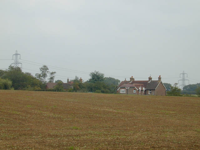
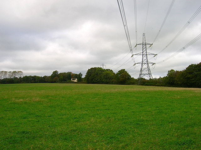
Cinder Wood is a picturesque forest located in Sussex, England. Spread across an area of approximately 50 acres, this woodland is known for its stunning natural beauty and rich biodiversity. The forest is located near the village of Cinder Wood, hence the name, and is a popular destination for nature enthusiasts and hikers.

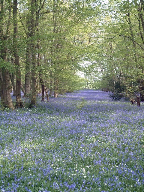
The woodland is predominantly composed of deciduous trees, with a variety of species including oak, ash, birch, and beech. These towering trees create a dense canopy, providing shade and shelter for a diverse range of flora and fauna. In springtime, the forest floor is adorned with a carpet of vibrant bluebells, adding a touch of color to the tranquil surroundings.

Cinder Wood is also home to a wide array of wildlife. Birdwatchers can spot various species such as woodpeckers, owls, and jays, while nature lovers may come across elusive creatures like badgers, foxes, and deer. The forest is renowned for its bird population, attracting birdwatchers from far and wide.

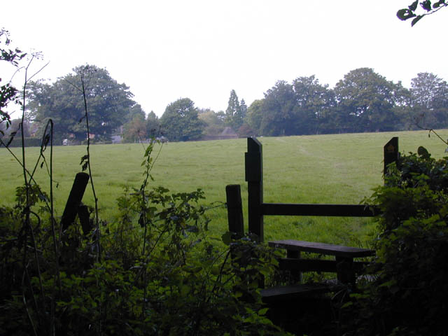
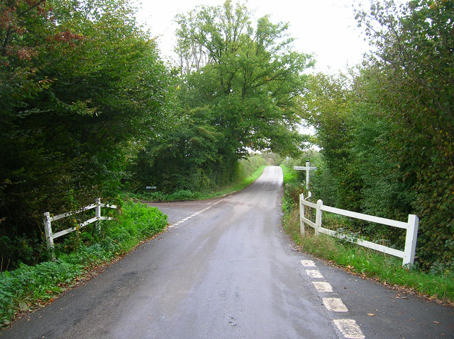
Several well-marked trails wind their way through Cinder Wood, offering visitors the opportunity to explore the forest's hidden gems. These paths provide access to beautiful viewpoints, serene ponds, and meandering streams. The forest also features picnic areas, making it an ideal spot for a leisurely family outing or a peaceful picnic amidst nature.

Cinder Wood is open to the public throughout the year, allowing visitors to experience the ever-changing beauty of the seasons. Whether it's a leisurely stroll, birdwatching, or simply enjoying the tranquility of nature, Cinder Wood offers an immersive and rejuvenating experience for all who visit.

If you have any feedback on the listing, please let us know in the comments section below.
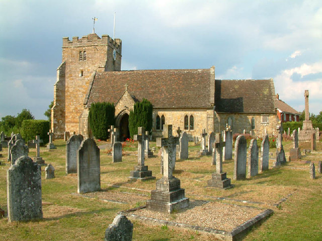
Cinder Wood Images

Images are sourced within 2km of 50.933606/0.18479276 or Grid Reference TQ5317. Thanks to Geograph Open Source API. All images are credited.

The church without dedication, East Hoathly
Gray Wood Gray Wood, East Hoathly - in late April the Wood is anything but gray!  The woodland in private, but can be viewed from the Vanguard Way footpath.
Gray Wood
Gray Wood, East Hoathly - in late April the Wood is anything but gray! The woodland in private, but can be viewed from the Vanguard Way footpath.
Footpath from East Hoathly to Old Whyly This photo was taken on the Thomas Turner walk, which is a series of footpaths around East Hoathly. The roof of Old Whyly can be seen in the distance.
Footpath from East Hoathly to Old Whyly
This photo was taken on the Thomas Turner walk, which is a series of footpaths around East Hoathly. The roof of Old Whyly can be seen in the distance.
Old Whyly Old Whyly is a 17th Century manor house. It is mentioned numerous times in The Diary of Thomas Turner 1754-1765, in East Hoathly. Thomas Turner frequently visited Jeremiah French, the tenant farmer, at Whyly mostly for evenings playing cards and heavy drinking. He invariably returned home inebriated and on several occasions his wife had to be carried home on a gate!
Old Whyly
Old Whyly is a 17th Century manor house. It is mentioned numerous times in The Diary of Thomas Turner 1754-1765, in East Hoathly. Thomas Turner frequently visited Jeremiah French, the tenant farmer, at Whyly mostly for evenings playing cards and heavy drinking. He invariably returned home inebriated and on several occasions his wife had to be carried home on a gate!
Across the fields to Davis's Town This photograph was taken from the footpath forming part of the Thomas Turner walk near Great Wood, just outside the village of East Hoathly.
Across the fields to Davis's Town
This photograph was taken from the footpath forming part of the Thomas Turner walk near Great Wood, just outside the village of East Hoathly.
Mile marker East Hoathly 48 Miles to Bow Bells
Mile marker East Hoathly
48 Miles to Bow Bells
Oast House, Holdens Farm The rather dreary day has obscured the view to Chiddingly church, whose spire can be viewed between the oast house and tree.
Oast House, Holdens Farm
The rather dreary day has obscured the view to Chiddingly church, whose spire can be viewed between the oast house and tree.
Field opposite Broomfield Farm Looking towards Minepit Wood and Summersbrook Wood.
Field opposite Broomfield Farm
Looking towards Minepit Wood and Summersbrook Wood.
Electricity Pylons near Cinder Wood The house to the left is Scallow Lodge.
Electricity Pylons near Cinder Wood
The house to the left is Scallow Lodge.
Scallow Bridge The bridge is marked by the white railings. Lane to the left goes to Cross in Hand, the one to the right heads south to Whitesmith, straight ahead for Foxhunt Green and Horam.
Scallow Bridge
The bridge is marked by the white railings. Lane to the left goes to Cross in Hand, the one to the right heads south to Whitesmith, straight ahead for Foxhunt Green and Horam.
Outbuildings, Foxhunt Park Farm
Pond, Braysland Farm The outbuildings can just be made out on the far side of the pond.
Pond, Braysland Farm
The outbuildings can just be made out on the far side of the pond.
Foxhunt Green Typical of the number of hamlets found in this part of the Weald which is indicative of how the area was originally settled piecemeal in the middle ages by those prepared to hack away the forest and build small farms and settlements.
Foxhunt Green
Typical of the number of hamlets found in this part of the Weald which is indicative of how the area was originally settled piecemeal in the middle ages by those prepared to hack away the forest and build small farms and settlements.
Great Dern Wood With obligatory discarded empty can of Stella in the foreground.
Great Dern Wood
With obligatory discarded empty can of Stella in the foreground.
Coneyburrow Wood Just to confuse matters there are three woods of the same name within a couple of miles of each other. This one is to the south of Longshaw Farm. Taken from Dern Lane.
Coneyburrow Wood
Just to confuse matters there are three woods of the same name within a couple of miles of each other. This one is to the south of Longshaw Farm. Taken from Dern Lane.
Field near Tourle's Farm An outbuilding can be seen on the ridge to the right. Somewhere to the right a footpath leads up there but is overgrown and impassable.
Field near Tourle's Farm
An outbuilding can be seen on the ridge to the right. Somewhere to the right a footpath leads up there but is overgrown and impassable.
Converted Barn, South Street At least I think that what it is. There is a well to the left of the building which stands in the entrance road of the works.
Converted Barn, South Street
At least I think that what it is. There is a well to the left of the building which stands in the entrance road of the works.
Lych Gate, East Hoathly Church The building that can be seen through the gate is actually East Hoathly C of E Primary School. The church tower can just been over the gate to the right.
Lych Gate, East Hoathly Church
The building that can be seen through the gate is actually East Hoathly C of E Primary School. The church tower can just been over the gate to the right.
Show me another place!

Cinder Wood is located at Grid Ref: TQ5317 (Lat: 50.933606, Lng: 0.18479276)

Administrative County: East Sussex

District: Wealden

Police Authority: Sussex

What 3 Words

///intruded.bulk.amuse. Near Horam, East Sussex

Nearby Locations

Cinder Wood Porter's Wood

Related Wikis

Waldron Cutting

Waldron Cutting is a 0.2-hectare (0.49-acre) geological Site of Special Scientific Interest in East Sussex. It is a Geological Conservation Review site...

East Hoathly with Halland

East Hoathly with Halland is a civil parish in the Wealden District of East Sussex, England. The parish contains the two villages of East Hoathly and...

Chiddingly

Chiddingly ( CHID-ing-lye) is an English village and civil parish in the Wealden District of the administrative county of East Sussex, within historic...

Whitesmith maze

A plantation of willows near Whitesmith, East Sussex, in England forms a maze in the shape of a quotation from the Bible. The maze was planted by local...

Park Corner Heath

Park Corner Heath is a 2.9-hectare (7.2-acre) biological Site of Special Scientific Interest about 1.2 miles (2 km) south of East Hoathly, adjacent to...

Selwyns Wood

Selwyns Wood is a 11-hectare (27-acre) nature reserve west of Heathfield in Sussex. It is managed by the Sussex Wildlife Trust.This reserve has woodland...

Roser's Cross

Roser's Cross is a village in the Wealden district of East Sussex.
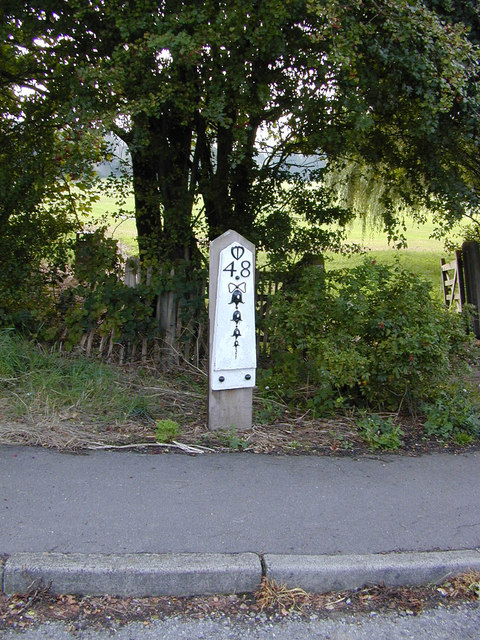
Horam

Horam is a village, electoral ward and civil parish in the Wealden District of East Sussex, situated three miles (4.8 km) south of Heathfield. Included...

Nearby Amenities

Located within 500m of 50.933606,0.18479276
Power: tower
Lat/Long: 50.9367968/0.1860382
Power: tower
Lat/Long: 50.9353899/0.190243
Barrier: stile
Stile: stepover
Lat/Long: 50.9375977/0.1870422
Graywood Farm
Place: farm
Source Name: OS_OpenData_Streetview
Lat/Long: 50.932726/0.1881248
The data included in this document is from www.openstreetmap.org. The data is made available under ODbL.

Have you been to Cinder Wood?

Leave your review of Cinder Wood below (or comments, questions and feedback).