Birchden Wood
Wood, Forest in Sussex Wealden
England
Birchden Wood

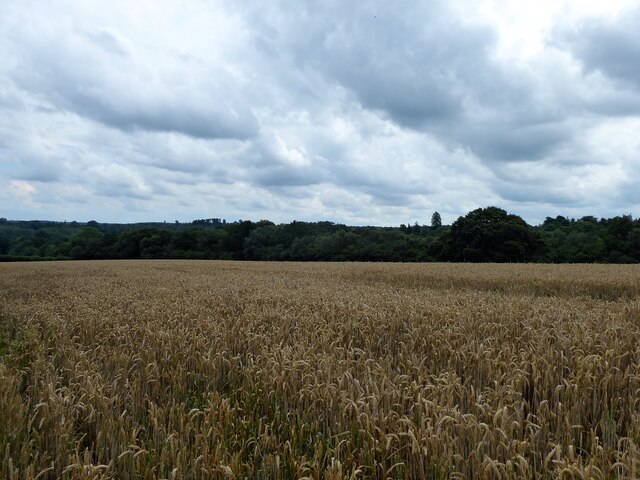
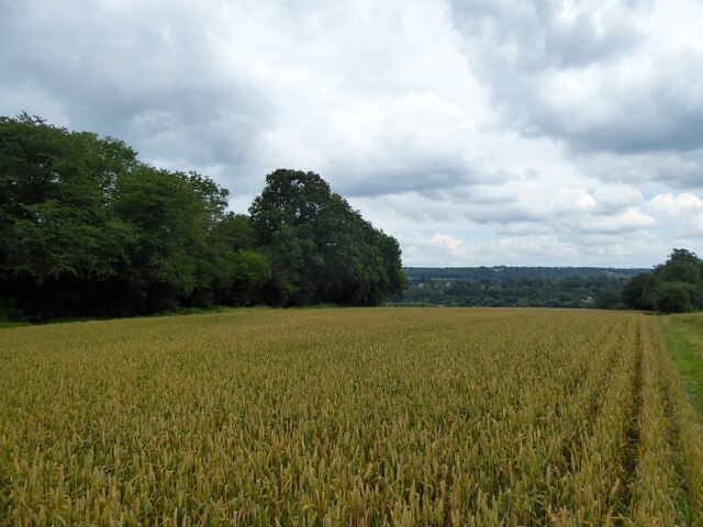
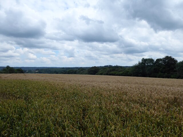
Birchden Wood is a picturesque forest located in East Sussex, England. Covering an area of approximately 300 acres, it is a popular destination for nature lovers and outdoor enthusiasts. The wood is situated near the village of Groombridge, just a few miles from Royal Tunbridge Wells.
The woodland predominantly consists of birch trees, hence its name, but also features a diverse range of other tree species such as oak, beech, and sweet chestnut. This variety of trees creates a vibrant and colorful landscape, particularly during the autumn months when the leaves change to shades of red, orange, and gold.
Birchden Wood is home to a rich array of wildlife, including various bird species, squirrels, deer, and foxes. The forest is well-known for its birdwatching opportunities, with enthusiasts often spotting woodpeckers, nuthatches, and treecreepers among the branches.
Visitors to Birchden Wood can enjoy a network of well-maintained footpaths and trails, making it ideal for walking, hiking, and cycling. There are several designated picnic areas scattered throughout the forest, providing a peaceful spot to relax and enjoy the natural surroundings.
Managed by the Forestry Commission, Birchden Wood also offers educational and recreational activities. The wood hosts various workshops, guided walks, and events throughout the year, which aim to educate visitors about the importance of woodland conservation and provide a deeper understanding of the forest ecosystem.
Overall, Birchden Wood is a tranquil and enchanting woodland that offers visitors a chance to escape the hustle and bustle of everyday life and immerse themselves in the beauty of nature.
If you have any feedback on the listing, please let us know in the comments section below.
Birchden Wood Images
Images are sourced within 2km of 51.101705/0.19008112 or Grid Reference TQ5335. Thanks to Geograph Open Source API. All images are credited.


Birchden Wood is located at Grid Ref: TQ5335 (Lat: 51.101705, Lng: 0.19008112)
Administrative County: East Sussex
District: Wealden
Police Authority: Sussex
What 3 Words
///massaging.about.toasted. Near Groombridge, East Sussex
Nearby Locations
Related Wikis
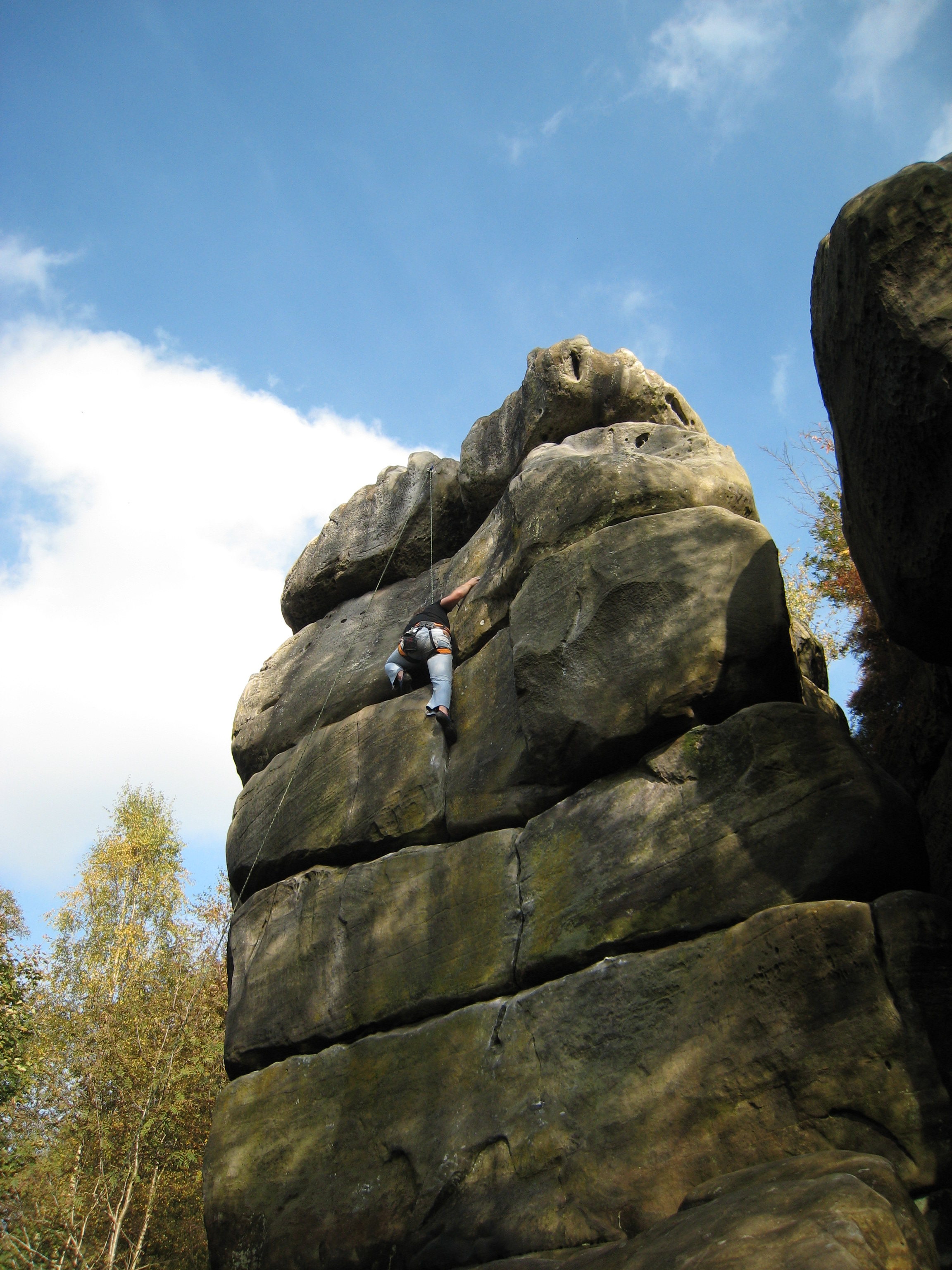
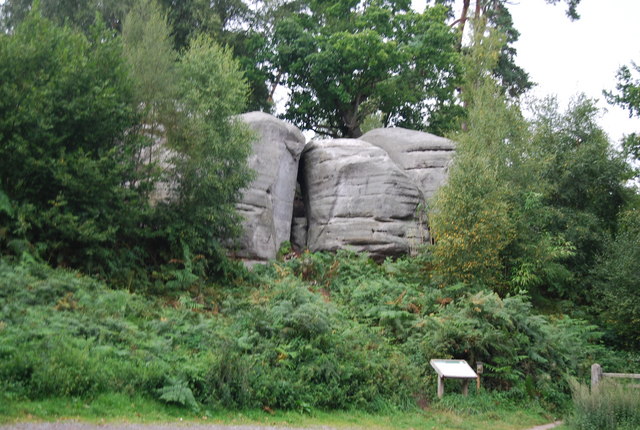
Harrison's Rocks
Harrison's Rocks is a series of sandstone crags approximately 1.5 kilometres (1 mi) south of the village of Groombridge in the county of East Sussex. The...

Groombridge railway station
Groombridge railway station is a station on the Spa Valley Railway (SVR) in Groombridge, East Sussex, England. Once a busy station serving four directions...
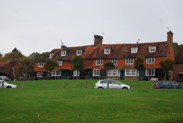
Groombridge
Groombridge is a village of about 1,600 people. It straddles the border between Kent and East Sussex, in England. The nearest large town is Royal Tunbridge...

Eridge railway station
Eridge railway station is on the Uckfield branch of the Oxted line in southern England and serves a rural district around Eridge in East Sussex. It is...

Penn's Rocks
Penn's Rocks is a 10.2-hectare (25-acre) biological Site of Special Scientific Interest north of Crowborough in East Sussex.This site is a steep sided...

Groombridge Place
Groombridge Place is a moated manor house in the village of Groombridge near Tunbridge Wells, Kent, England. It has become a tourist attraction, noted...
Eridge Green
Eridge Green is a 8.4-hectare (21-acre) biological Site of Special Scientific Interest north-east of Crowborough in East Sussex. It is part of the 44 hectares...

Arun Valley line
The Arun Valley line, also known as the Mid Sussex line, is part of the Southern- and Thameslink-operated railway services. For the initial part of the...
Nearby Amenities
Located within 500m of 51.101705,0.19008112Have you been to Birchden Wood?
Leave your review of Birchden Wood below (or comments, questions and feedback).