Fishpond Plantation

Wood, Forest in Essex Uttlesford

England

Fishpond Plantation

Little Chesterford church
Little Chesterford church Credit: mym

Fishpond Plantation is a picturesque woodland area located in Essex, England. Covering a vast area of approximately 100 acres, it is a popular destination for nature enthusiasts, hikers, and families looking to immerse themselves in the beauty of nature.

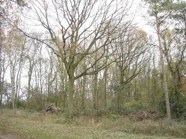
The plantation is primarily composed of a dense forest, characterized by a variety of trees, including oak, beech, and birch. These trees create a serene and tranquil environment, providing shade and shelter for a diverse range of flora and fauna. Bluebells, wild garlic, and ferns are just some of the plant species that thrive in this woodland.

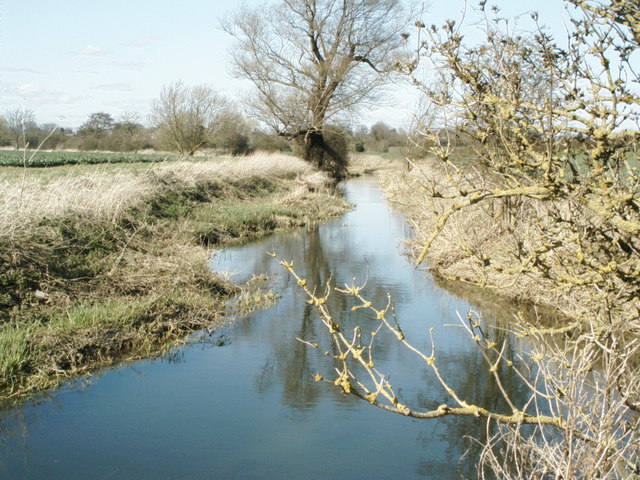
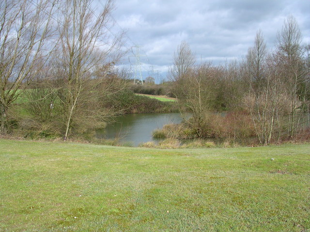
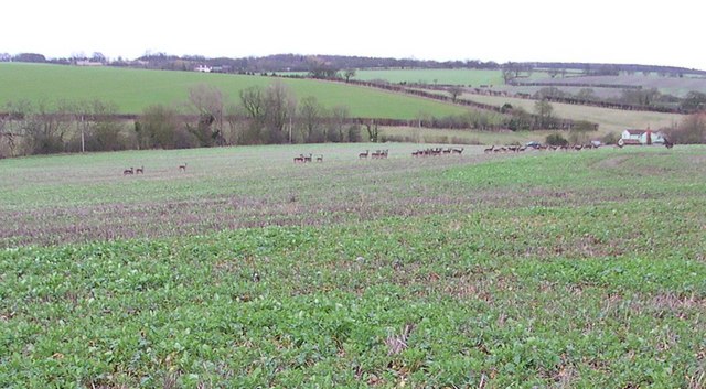
One of the standout features of Fishpond Plantation is the presence of several fishponds scattered throughout the area. These ponds were originally created in the 18th century as a way to supply fish for local communities. Today, they serve as a haven for various aquatic species, such as frogs, newts, and dragonflies.

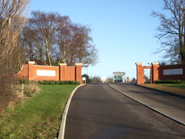
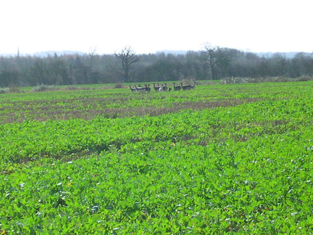
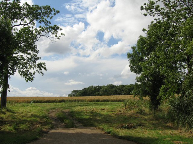
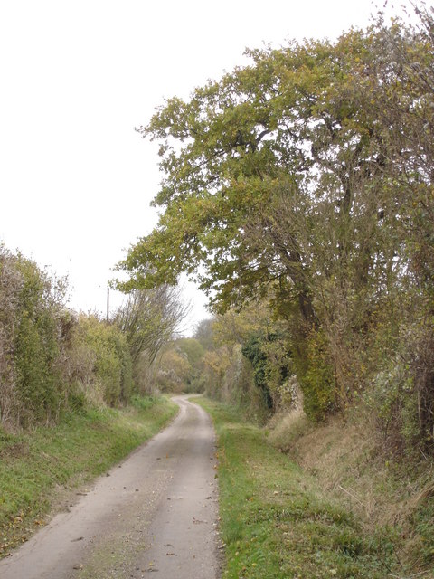
Visitors to Fishpond Plantation can explore its numerous walking trails, which wind through the forest, offering breathtaking views of the surrounding countryside. The plantation is also home to a diverse range of wildlife, including deer, foxes, and squirrels, making it a perfect spot for animal enthusiasts to observe and appreciate nature.

With its natural beauty and rich biodiversity, Fishpond Plantation offers a haven for those seeking tranquility and a connection with the natural world. Whether it's a leisurely stroll, a family picnic, or an opportunity to spot wildlife, this woodland in Essex provides a truly enchanting experience for all who visit.

If you have any feedback on the listing, please let us know in the comments section below.

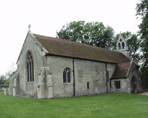
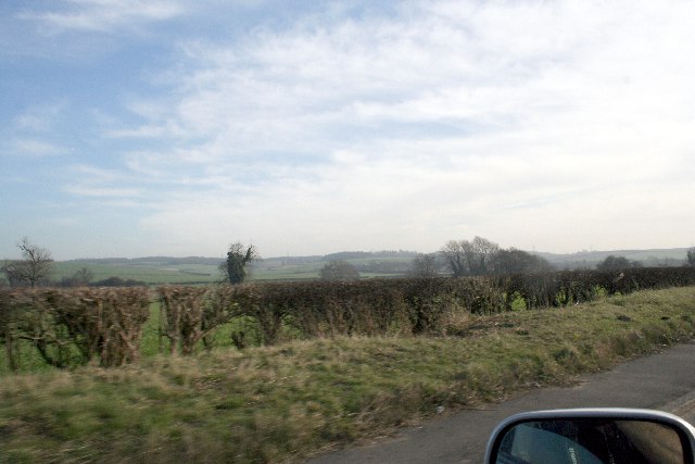
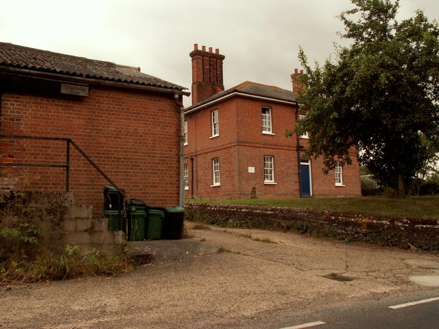
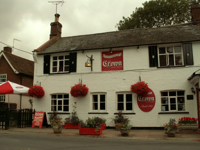
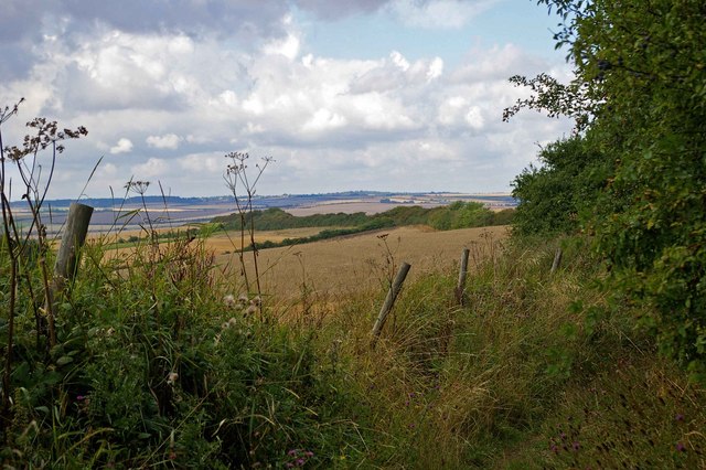
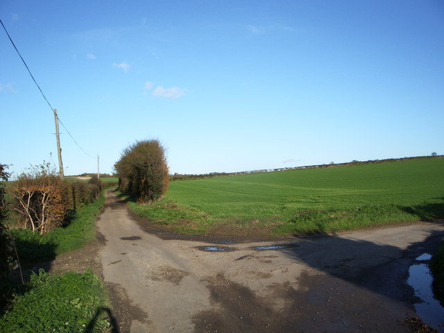
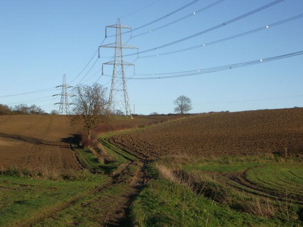
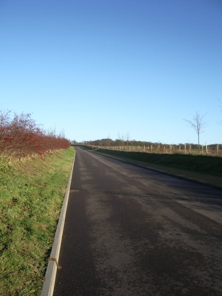
Fishpond Plantation Images

Images are sourced within 2km of 52.057639/0.23294675 or Grid Reference TL5342. Thanks to Geograph Open Source API. All images are credited.

Little Chesterford church
Hills near Little Chesterford
Stonebridge Farm, Little Walden, Essex
'The Crown' inn, Little Walden, Essex This inn stands at the bend in the road through the small hamlet of Little Walden.
'The Crown' inn, Little Walden, Essex
This inn stands at the bend in the road through the small hamlet of Little Walden.
Bridle Path Near Burtonwood Farm This vista is further along the <a href="https://www.geograph.org.uk/photo/221860">TL5443 : Little Walden Path</a> to the southeast of Burtonwood Farm. As you can tell from the length of the grass it is not well used by horses!
Bridle Path Near Burtonwood Farm
This vista is further along the TL5443 : Little Walden Path to the southeast of Burtonwood Farm. As you can tell from the length of the grass it is not well used by horses!
Junction of Cow Lane and Little Cow Lane
Field track and pylons
New Road to Chesterford Research Park
Gateway to Chesterford Research Park
The River Cam (or Granta) The River Cam (or Granta) near Little Chesterford, Essex
The River Cam (or Granta)
The River Cam (or Granta) near Little Chesterford, Essex
13 deer here This herd is half the size of the one that got away.
13 deer here
This herd is half the size of the one that got away.
Electric pond
Electric pond
31 or so that got away And then we went to that pub.
31 or so that got away
And then we went to that pub.
Back to grass roots? View through a gap in the hedgerow adjacent to the access road to the Chesterford Research Park (private).
Back to grass roots?
View through a gap in the hedgerow adjacent to the access road to the Chesterford Research Park (private).
Country lane approaching Burton Wood from the west
Paddock Wood This photograph shows the northern edge of Paddock Wood, viewed from the public bridleway.
Paddock Wood
This photograph shows the northern edge of Paddock Wood, viewed from the public bridleway.
Old Milepost Old milepost near to Little Chesterford, Essex on what was the old A.11. For close up view see <a title="https://www.geograph.org.uk/photo/1276325" href="https://www.geograph.org.uk/photo/1276325">Link</a> for info on the post see <span class="nowrap"><a title="http://milestones.megalithia.com/sites/tl513418.htm" rel="nofollow ugc noopener" href="http://milestones.megalithia.com/sites/tl513418.htm">Link</a><img style="margin-left:2px;" alt="External link" title="External link - shift click to open in new window" src="https://s1.geograph.org.uk/img/external.png" width="10" height="10"/></span> do look at their home page.
Old Milepost
Old milepost near to Little Chesterford, Essex on what was the old A.11. For close up view see Link for info on the post see LinkExternal link do look at their home page.
Old Milestone Old milepost near to Little Chesterford, Essex on part of what was the A.11. For overall view see <a title="https://www.geograph.org.uk/photo/1276323" href="https://www.geograph.org.uk/photo/1276323">Link</a> For more info see <span class="nowrap"><a title="http://milestones.megalithia.com/sites/tl513418.htm" rel="nofollow ugc noopener" href="http://milestones.megalithia.com/sites/tl513418.htm">Link</a><img style="margin-left:2px;" alt="External link" title="External link - shift click to open in new window" src="https://s1.geograph.org.uk/img/external.png" width="10" height="10"/></span> do look at their home page.
Old Milestone
Old milepost near to Little Chesterford, Essex on part of what was the A.11. For overall view see Link For more info see LinkExternal link do look at their home page.
Show me another place!

Fishpond Plantation is located at Grid Ref: TL5342 (Lat: 52.057639, Lng: 0.23294675)

Administrative County: Essex

District: Uttlesford

Police Authority: Essex

What 3 Words

///freezers.fashion.fuzz. Near Great Chesterford, Essex

Related Wikis

Nearby Amenities

Located within 500m of 52.057639,0.23294675
Chester ford Research Park Entrance
Barrier: lift_gate
Lat/Long: 52.0568358/0.2274301
Mini Roundabout
Direction: clockwise
Lat/Long: 52.0565671/0.2361044
Barrier: lift_gate
Lat/Long: 52.0567248/0.2271605
Nucleus Fitness Centre
Leisure: sports_centre
Lat/Long: 52.0560547/0.2355658
Atm
Lat/Long: 52.0560795/0.2354348
Post Box
Ref: CB10 116
Lat/Long: 52.0576718/0.236558
Post Box
Collection Times: Mo-Fr 16:45; Sa 12:00
Operator: Royal Mail
Post Box Design: type_a
Post Box Type: pillar
Ref: CB10 116
Royal Cypher: EIIR
Royal Cypher Wikidata: Q33102113
Lat/Long: 52.0561207/0.2353972
The data included in this document is from www.openstreetmap.org. The data is made available under ODbL.

Have you been to Fishpond Plantation?

Leave your review of Fishpond Plantation below (or comments, questions and feedback).