Lea Green

Wood, Forest in Essex Uttlesford

England

Lea Green

Tree on field boundary The boundary is actually a ditch, but rather swamped with vegetation at the end of June.
Tree on field boundary Credit: Robin Webster

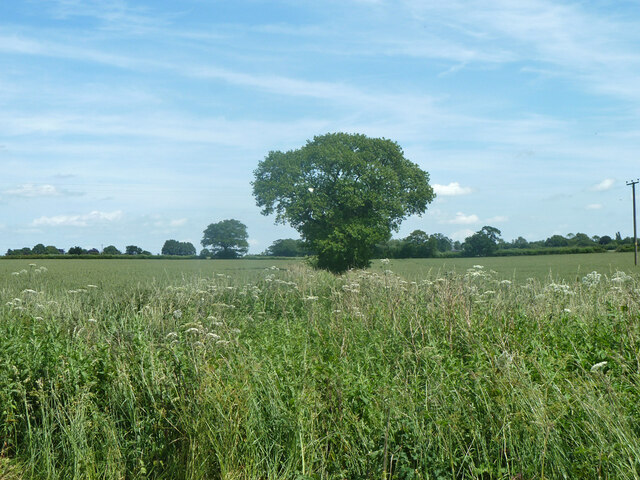
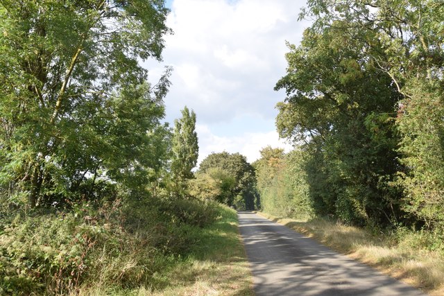
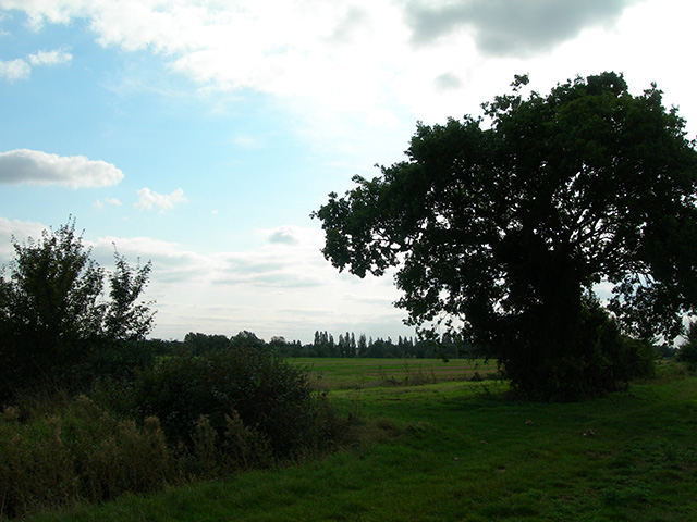
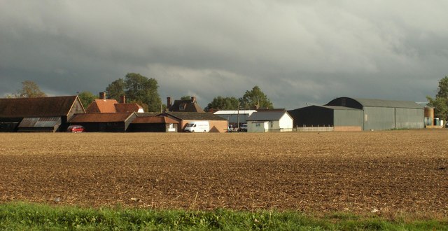
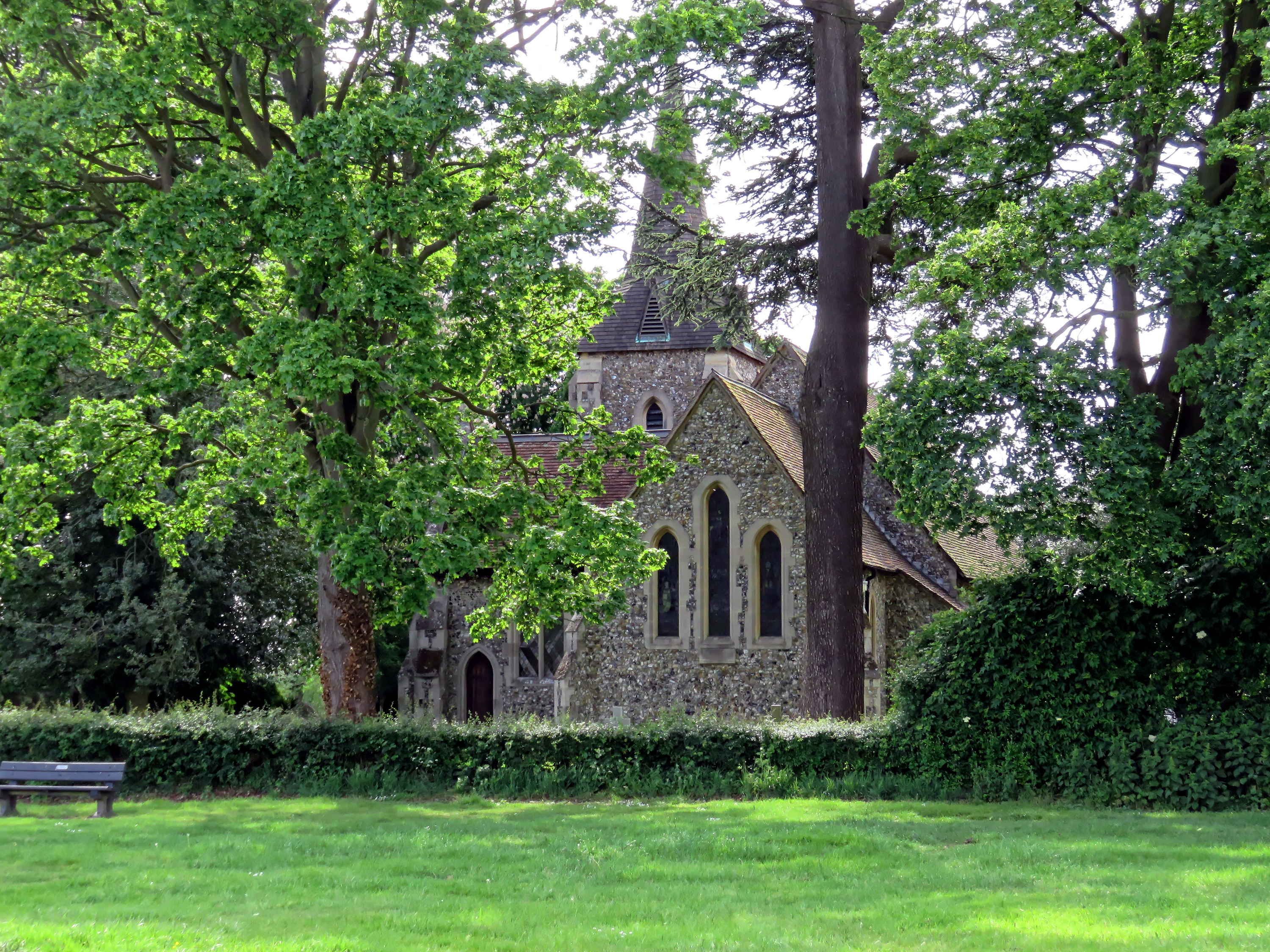
Lea Green is a small village located in the county of Essex, England. Situated within the district of Epping Forest, it is surrounded by picturesque woodlands and forests, making it a haven for nature lovers and outdoor enthusiasts. The village is nestled in a relatively rural area, offering a tranquil and peaceful atmosphere.

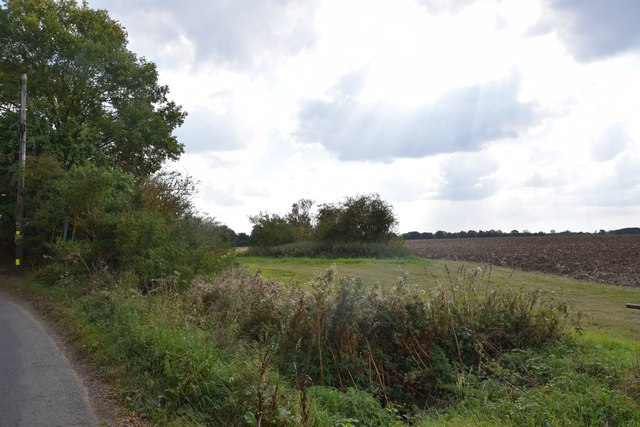
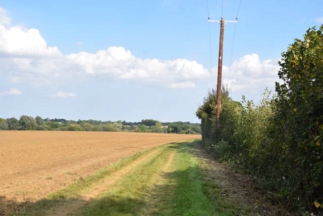
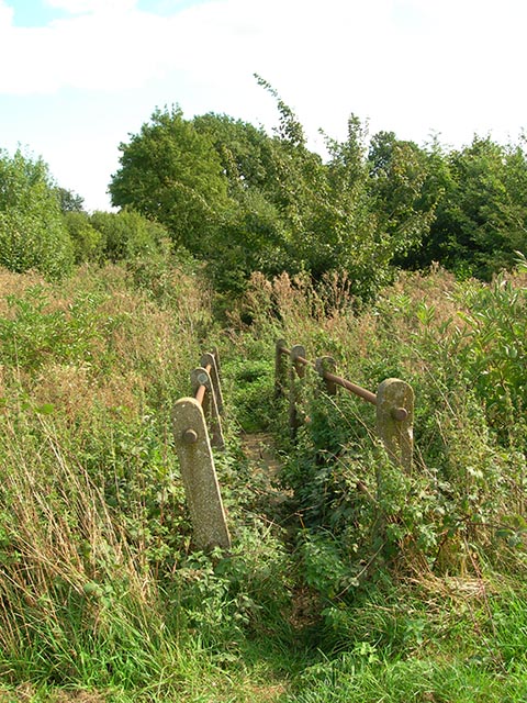
The woodlands surrounding Lea Green are known for their diverse flora and fauna, attracting visitors from near and far. Walking trails and nature reserves provide ample opportunities for hiking, birdwatching, and exploring the natural beauty of the area. The famous Epping Forest, which spans over 2,400 hectares, is a short distance away and offers even more extensive woodland areas to explore.

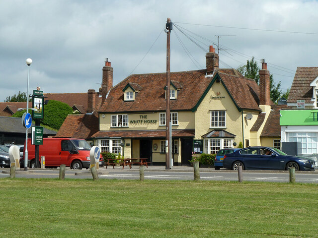
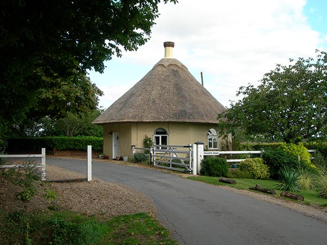
Lea Green itself is a small, tight-knit community with a population of approximately 500 residents. The village retains its rural charm, with a few local amenities such as a village hall, a small shop, and a pub. The residents take pride in their community and often organize local events and activities to bring people together.

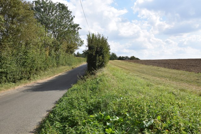
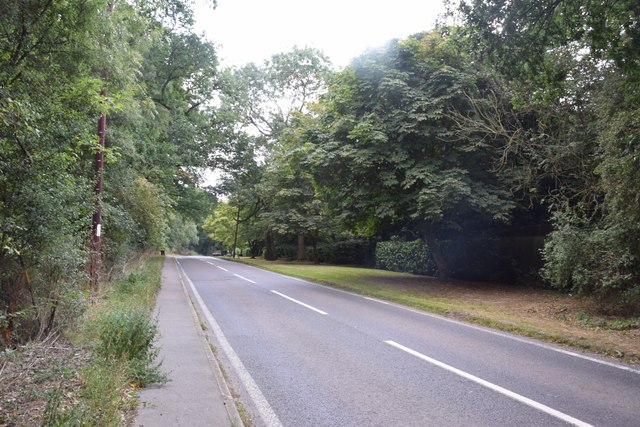
Despite its rural setting, Lea Green benefits from good transportation links. The village is served by several bus routes, providing access to nearby towns and cities. The closest railway station is in the nearby town of Loughton, which offers regular services to London and other destinations.

Overall, Lea Green offers a peaceful retreat for those seeking a connection with nature and a close-knit community atmosphere.

If you have any feedback on the listing, please let us know in the comments section below.
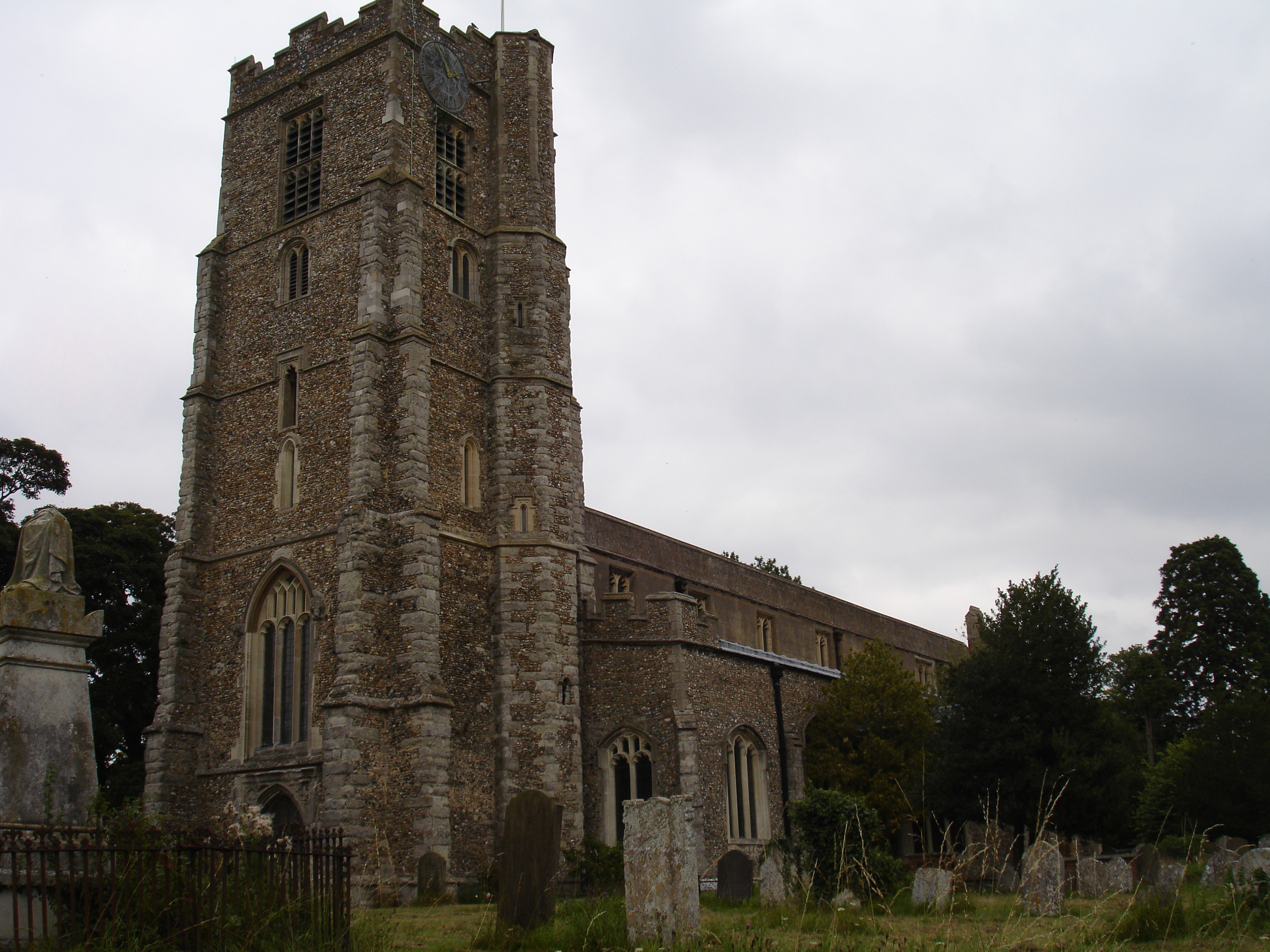
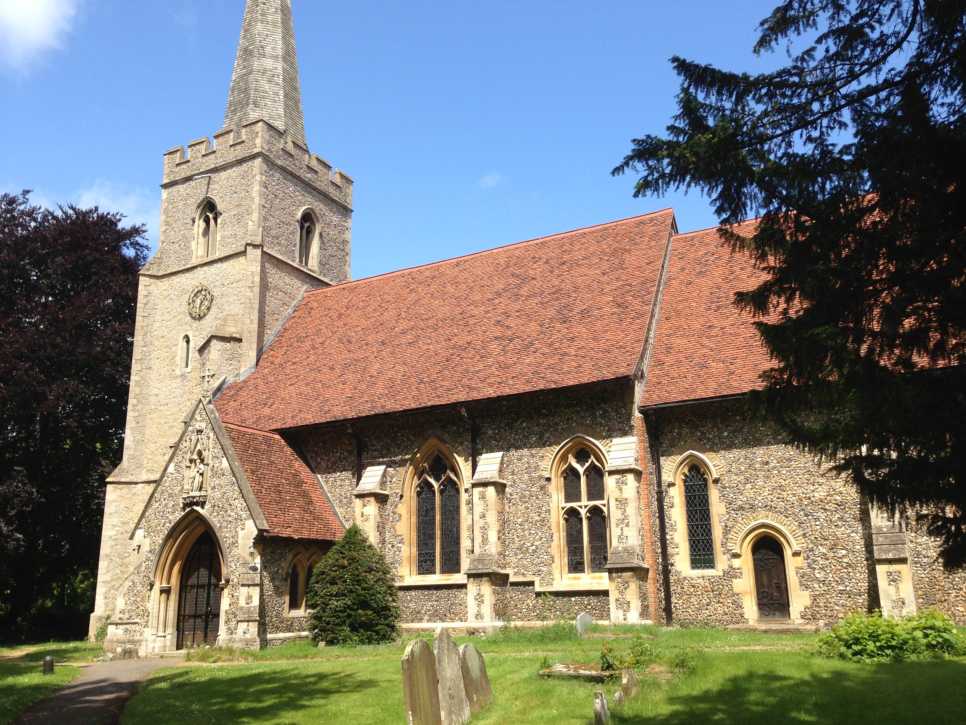
Lea Green Images

Images are sourced within 2km of 51.817259/0.21603501 or Grid Reference TL5215. Thanks to Geograph Open Source API. All images are credited.

Tree on field boundary The boundary is actually a ditch, but rather swamped with vegetation at the end of June.
Tree on field boundary
The boundary is actually a ditch, but rather swamped with vegetation at the end of June.
The White Horse, Hatfield Heath A grade II listed pub, early 17th century.
The White Horse, Hatfield Heath
A grade II listed pub, early 17th century.
View from the lane north of Copperfields
Field, lane and a bit of hedgerow Taken on the lane between Copperfields and Forest Hall.
Field, lane and a bit of hedgerow
Taken on the lane between Copperfields and Forest Hall.
Ryes Lane Looking north from near Corringales.
Ryes Lane
Looking north from near Corringales.
On the road to Hatfield Heath Near Town Grove.
On the road to Hatfield Heath
Near Town Grove.
Field and footpath  North of Hatfield Heath. If you are sharp-eyed you may be able to spot the tower of St Mary the Virgin at Hatfield Broad Oak - on the skyline towards the left.
Field and footpath
North of Hatfield Heath. If you are sharp-eyed you may be able to spot the tower of St Mary the Virgin at Hatfield Broad Oak - on the skyline towards the left.
War memorial at Hatfield Heath The war memorial is on the village green adjacent to the A1060 road.  The parish church is in the background (still in square TL5214).
War memorial at Hatfield Heath
The war memorial is on the village green adjacent to the A1060 road. The parish church is in the background (still in square TL5214).
Village pump and main street, Hatfield Broad Oak. The village pump is a feature of many rural villages in Essex.  The signpost is a fairly new one made in a traditional style.
Village pump and main street, Hatfield Broad Oak.
The village pump is a feature of many rural villages in Essex. The signpost is a fairly new one made in a traditional style.
Holy Trinity Church, Hatfield Heath
'The Thatchers', public house at Hatfield Heath, Essex This pub stands on Stortford Road to the west of the Heath.
'The Thatchers', public house at Hatfield Heath, Essex
This pub stands on Stortford Road to the west of the Heath.
The A.1060 at Hatfield Heath, Essex This is the only section of this road that lies in this grid square. It shows the road travelling away from Hatfield Heath towards Chelmsford.
The A.1060 at Hatfield Heath, Essex
This is the only section of this road that lies in this grid square. It shows the road travelling away from Hatfield Heath towards Chelmsford.
Friars, Hatfield Heath, Essex
Footbridge This footbridge on the path Corringales is well overgrown, but accessible.
Footbridge
This footbridge on the path Corringales is well overgrown, but accessible.
The Round Lodge Situated at the entrance to a private road on the Forest Way.
The Round Lodge
Situated at the entrance to a private road on the Forest Way.
Footpath junction A well-disguised junction of the path to Little Hallingbury Park from the Harcamlow Way-Three Forests Way footpath.
Footpath junction
A well-disguised junction of the path to Little Hallingbury Park from the Harcamlow Way-Three Forests Way footpath.
Shrubbs Farm, just east of Sheering, Essex
Town Farm near Hatfield Broad Oak, Essex Town Farm stands by the B.183 road at a section called Old Street Hill.
Town Farm near Hatfield Broad Oak, Essex
Town Farm stands by the B.183 road at a section called Old Street Hill.
Show me another place!

Lea Green is located at Grid Ref: TL5215 (Lat: 51.817259, Lng: 0.21603501)

Administrative County: Essex

District: Uttlesford

Police Authority: Essex

What 3 Words

///liner.bids.vanish. Near Hatfield Heath, Essex

Nearby Locations

Lea Green Town Grove

Related Wikis

Hatfield Heath

Hatfield Heath is a village, civil parish, and an electoral ward in the Uttlesford district of Essex, England, and at its west is close to the border with...

Hatfield Broad Oak

Hatfield Broad Oak (also known as Hatfield Regis) is a village and civil parish in the Uttlesford district of Essex, England. The village is approximately...

Hatfield Regis Priory

Hatfield Broad Oak Priory, or Hatfield Regis Priory, is a former Benedictine priory in Hatfield Broad Oak, Essex, England. Founded by 1139, it was dissolved...

Ardley End

Ardley End is a hamlet in the Uttlesford area of Essex, England. It is approximately half a mile from the village of Hatfield Heath.

Down Hall

Down Hall is a Victorian country house and estate near Hatfield Heath in the English county of Essex, close to its border with Hertfordshire. It is surrounded...

Sheering

Sheering is a civil parish and village in the Epping Forest district of Essex, England. Sheering village is situated 2.8 miles (5 km) north-east from Harlow...

Great Hallingbury

Great Hallingbury is a village and a civil parish in the Uttlesford District of Essex, England. The population of the civil parish at the 2011 census was...

Barrington Hall, Essex

Barrington Hall is a Grade II* listed 18th-century English country house in Hatfield Broad Oak, Essex, England. Barrington Hall is built in red brick...

Related Videos

Wild camping plus prisoner of War camp 116

Small adventure nice bike ride wild camp out then the next day visited POW Camp 116 was a very surreal feeling being in this ...

Nearby Amenities

Located within 500m of 51.817259,0.21603501
Barrier: stile
Lat/Long: 51.8156759/0.211749
The data included in this document is from www.openstreetmap.org. The data is made available under ODbL.

Have you been to Lea Green?

Leave your review of Lea Green below (or comments, questions and feedback).