Claypit Plantation

Wood, Forest in Cambridgeshire South Cambridgeshire

England

Claypit Plantation

Two Acre Plantation Two Acre Plantation viewed from footbridge over A11
Two Acre Plantation Credit: Oda Stoevesandt and Karsten Koehler

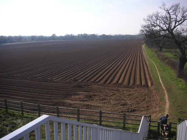
Claypit Plantation is a woodland area located in Cambridgeshire, England. Situated in the countryside, it covers an area of approximately 100 acres and is known for its diverse range of flora and fauna. The plantation is predominantly made up of deciduous trees, including oak, ash, and beech, which create a beautiful and vibrant woodland atmosphere.

The clay pits, from which the plantation derives its name, were once used for pottery production in the 19th century. Today, they serve as a reminder of the area's industrial past and provide an interesting historical element to the site. The clay pits have also become home to a variety of wetland plants, attracting a range of bird species.

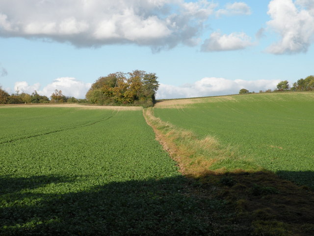
The woodland is a popular destination for nature enthusiasts and walkers, offering several well-maintained trails that allow visitors to explore its natural beauty. Along these paths, visitors can observe a diverse array of wildlife, including deer, rabbits, and various species of birds.

The plantation is managed by a local conservation group, which ensures the preservation of its natural habitats. Efforts are made to maintain a balance between the native vegetation and the introduced species, promoting biodiversity within the woodland.

Claypit Plantation provides a peaceful and serene environment, making it an ideal spot for picnics, photography, and nature study. Its accessibility and proximity to nearby towns make it a popular destination for both locals and tourists seeking an escape into nature.

If you have any feedback on the listing, please let us know in the comments section below.

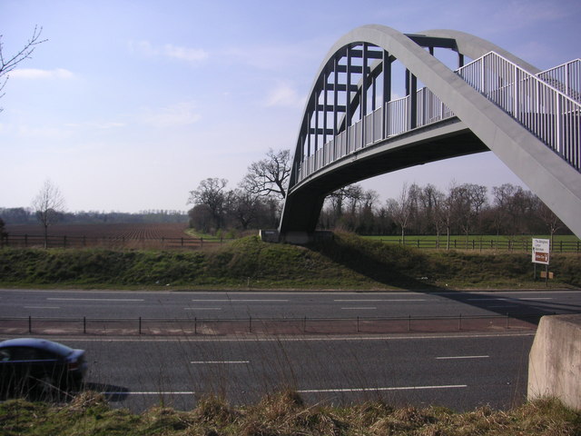
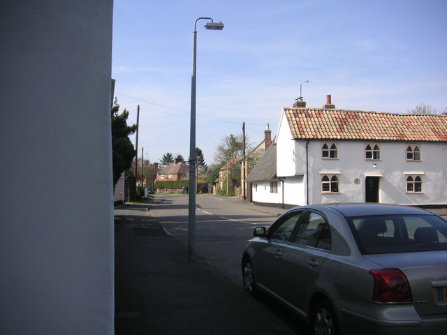
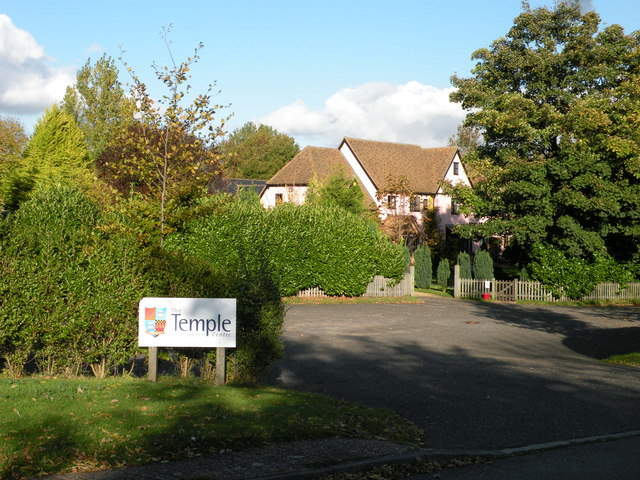
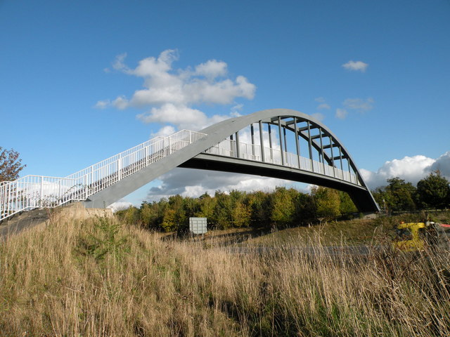
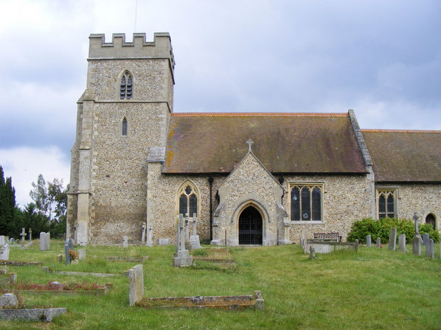
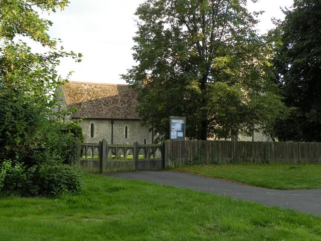
Claypit Plantation Images

Images are sourced within 2km of 52.137218/0.22923853 or Grid Reference TL5251. Thanks to Geograph Open Source API. All images are credited.

Two Acre Plantation Two Acre Plantation viewed from footbridge over A11
Two Acre Plantation
Two Acre Plantation viewed from footbridge over A11
Little Abington The building bordering the image to the left is the Little Abington Pottery.
Little Abington
The building bordering the image to the left is the Little Abington Pottery.
Abington cottage A brick and flint cottage with pretty Gothic windows and a weatherboarded extension in Church Lane.
Abington cottage
A brick and flint cottage with pretty Gothic windows and a weatherboarded extension in Church Lane.
Creeper-clad cottage in Church Lane
Thatched cottage in Church Lane
Footpath up the hill near Little Abington
The Temple Centre A venue for Weddings and Conferences
The Temple Centre
A venue for Weddings and Conferences
Footbridge over the A11
St. Mary's church, Little Abington This church (not to be confused with St Mary's, Great Abington, some four or five hundred metres distant) is of flint and rubble construction and dates from the early Norman period. Although it is said that some of the base stonework is possibly Saxon.
St. Mary's church, Little Abington
This church (not to be confused with St Mary's, Great Abington, some four or five hundred metres distant) is of flint and rubble construction and dates from the early Norman period. Although it is said that some of the base stonework is possibly Saxon.
Church Lane, Little Abington,  looking east from near St Mary's church
Church Lane, Little Abington, looking east from near St Mary's church
The entrance to St. Mary's church, Little Abington
The A11 approaching the A505 turn off The A505 connects with the M11 north.
The A11 approaching the A505 turn off
The A505 connects with the M11 north.
Roundabout Approach - Cambridge Road
Babraham: over the hedge on Honeysuckle Lane The houses on the other side of the field were built quite recently.
Babraham: over the hedge on Honeysuckle Lane
The houses on the other side of the field were built quite recently.
Babraham: The George The George dates from the 17th century and is Grade II listed. High cloud was about to block the sun for half an hour or so.
Babraham: The George
The George dates from the 17th century and is Grade II listed. High cloud was about to block the sun for half an hour or so.
Towards Cambridge on The Roman Road Near Worsted Lodge on a fine Sunday morning in late August. In the drought summer of 2022 grass is parched and the path dry and hard. The plantations on the skyline are at Signal Hill and Meggs Hill, two of the gentle Gog Magog Hills south-east of Cambridge.
Towards Cambridge on The Roman Road
Near Worsted Lodge on a fine Sunday morning in late August. In the drought summer of 2022 grass is parched and the path dry and hard. The plantations on the skyline are at Signal Hill and Meggs Hill, two of the gentle Gog Magog Hills south-east of Cambridge.
The George - Babraham
Show me another place!

Claypit Plantation is located at Grid Ref: TL5251 (Lat: 52.137218, Lng: 0.22923853)

Administrative County: Cambridgeshire

District: South Cambridgeshire

Police Authority: Cambridgeshire

What 3 Words

///daydreams.snores.routs. Near Sawston, Cambridgeshire

Related Wikis

Roman Road, Cambridgeshire

The Roman Road in Cambridgeshire, also known as Worsted Street Roman Road, is a 12.4-hectare (31-acre) linear biological Site of Special Scientific Interest...

Abington railway station (England)

Abington railway station served Little Abington, Great Abington and Babraham in Cambridgeshire. It closed in 1851, along with its line which was one of...

Babraham Institute

The Babraham Institute is a life sciences research institution and a partner organisation of the University of Cambridge. The Babraham Institute is based...

Granta Park

Granta Park is a science, technology and biopharmaceutical park based on the bank of the River Granta in Great Abington near Cambridge, England. The idea...

Bourne Bridge railway station

Bourne Bridge railway station served Little Abington, Great Abington, Pampisford and Babraham in Cambridgeshire. It was closed in 1851, along with its...

The Abingtons, Cambridgeshire

The Abingtons are a community in South Cambridgeshire consisting of two small villages: Little Abington and Great Abington, about 7 miles (11 km) south...

Pampisford railway station

Pampisford railway station is a former British railway station in Pampisford, Cambridgeshire. It was on the Stour Valley Railway from 1865 to its closure...

Alder Carr, Hildersham

Alder Carr is a 6.7-hectare biological Site of Special Scientific Interest in Hildersham in Cambridgeshire.The site is a wet valley which has alder on...

Nearby Amenities

Located within 500m of 52.137218,0.22923853
Power: pole
Lat/Long: 52.1381631/0.2352382
Power: pole
Lat/Long: 52.1368517/0.2246912
Power: pole
Lat/Long: 52.134914/0.2326598
Power: pole
Lat/Long: 52.1352499/0.2314423
Power: pole
Lat/Long: 52.1365799/0.2259706
Power: pole
Lat/Long: 52.1355691/0.2301602
Power: pole
Lat/Long: 52.1362145/0.2351733
Power: pole
Lat/Long: 52.1345683/0.2339312
Power: pole
Lat/Long: 52.1391369/0.2352663
Power: pole
Lat/Long: 52.1359017/0.2289157
Power: pole
Lat/Long: 52.1412291/0.2312738
Power: pole
Lat/Long: 52.1352359/0.2351491
Power: pole
Lat/Long: 52.1371843/0.2352114
Power: pole
Lat/Long: 52.1371705/0.2219428
Power: pole
Lat/Long: 52.1370162/0.223216
Power: pole
Lat/Long: 52.1362458/0.2276014
Power: pole
Lat/Long: 52.136394/0.2270046
The data included in this document is from www.openstreetmap.org. The data is made available under ODbL.

Have you been to Claypit Plantation?

Leave your review of Claypit Plantation below (or comments, questions and feedback).