Wall Wood

Wood, Forest in Essex Uttlesford

England

Wall Wood

Junction and Sign The meeting of Hatfield Forest Road/ Wood Row/ Greenhill.
Junction and Sign Credit: David Bremner

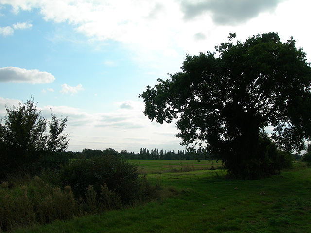
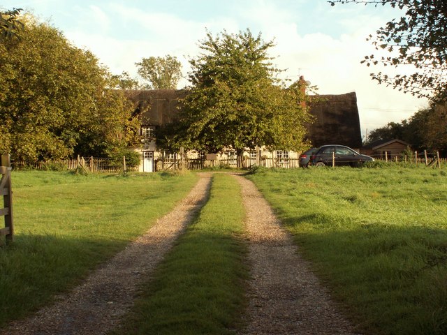
Wall Wood is a beautiful forest located in the county of Essex, England. It covers an area of approximately 200 hectares and is known for its diverse range of flora and fauna. The wood is situated in close proximity to the village of Wood, making it easily accessible to both locals and visitors.

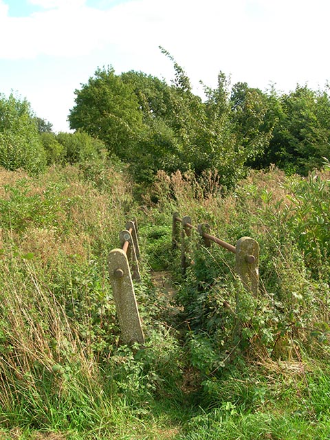
The forest is predominantly composed of deciduous trees, such as oak, beech, and birch, which provide a stunning display of colors during the autumn season. These trees form a dense canopy, creating a shady and tranquil atmosphere within the wood. Various species of ferns, mosses, and wildflowers can also be found scattered across the forest floor, adding to its natural beauty.

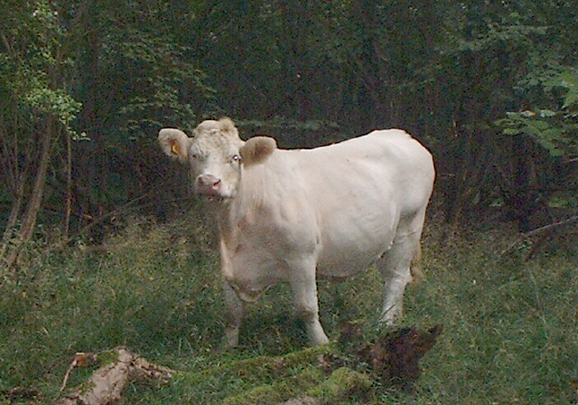
Wall Wood is home to a rich and diverse wildlife population. Visitors may be lucky enough to spot native mammals, such as deer, foxes, and badgers, as well as numerous bird species, including woodpeckers, owls, and warblers. The wood is also a haven for insects, with butterflies and bees being particularly abundant during the warmer months.

The wood offers a range of recreational activities, with numerous walking trails and paths crisscrossing through the forest. These trails provide visitors with the opportunity to explore the wood's stunning scenery and observe its wildlife up close. Additionally, there are designated picnic areas and benches scattered throughout the wood, allowing visitors to relax and enjoy a peaceful outdoor experience.

Overall, Wall Wood in Essex is a picturesque forest that offers a tranquil escape from the hustle and bustle of everyday life. Its natural beauty, diverse wildlife, and recreational activities make it a popular destination for nature lovers and outdoor enthusiasts alike.

If you have any feedback on the listing, please let us know in the comments section below.
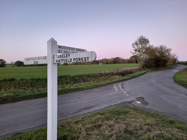
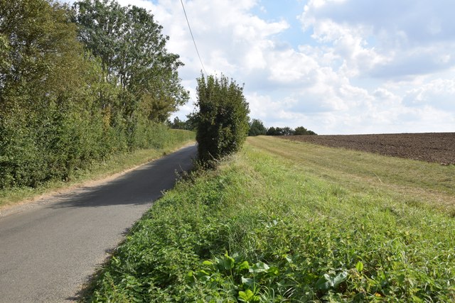
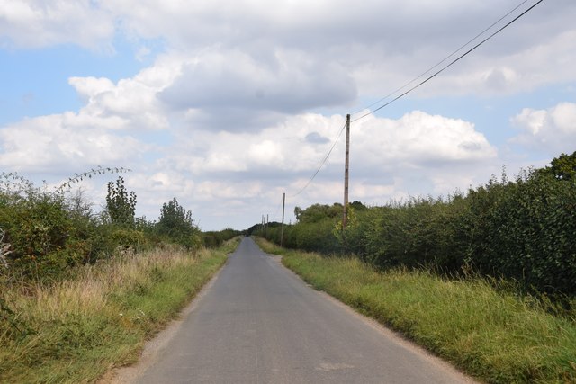
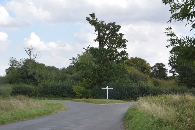
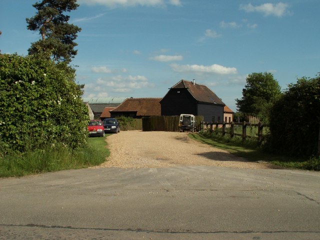
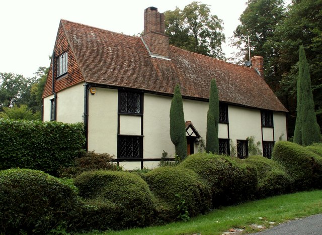
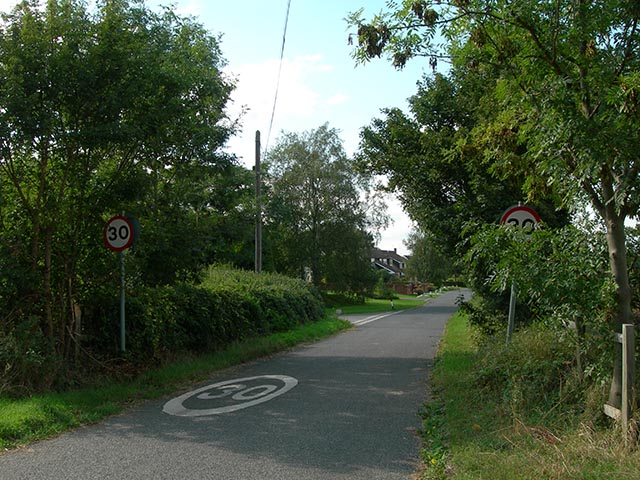
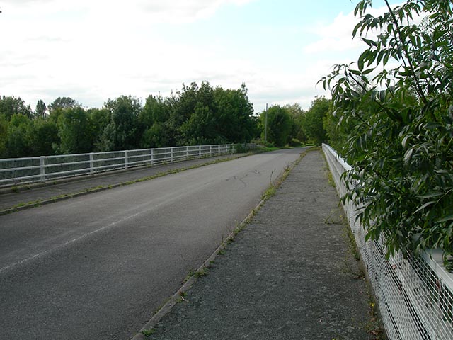
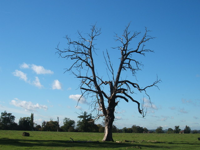
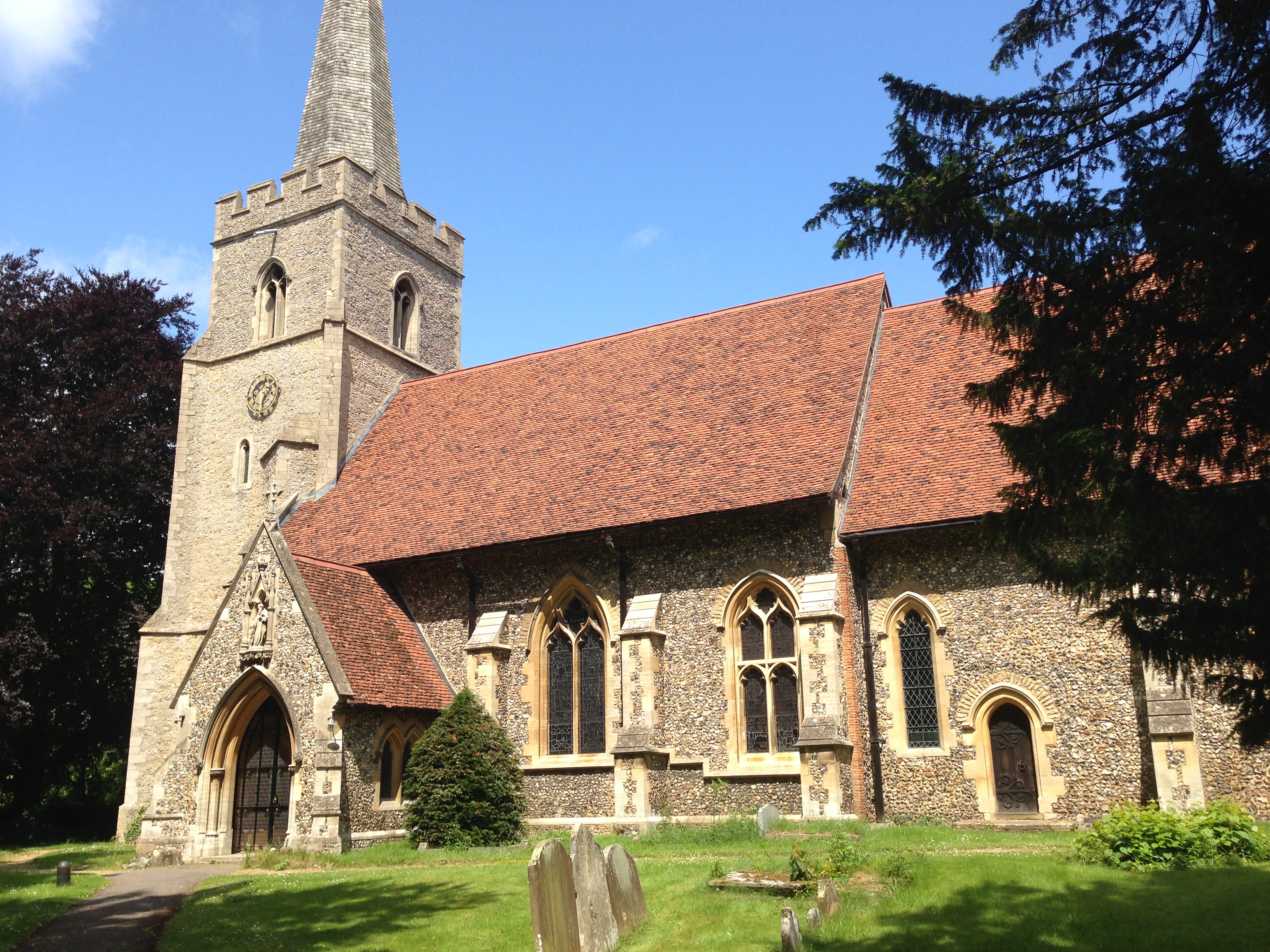
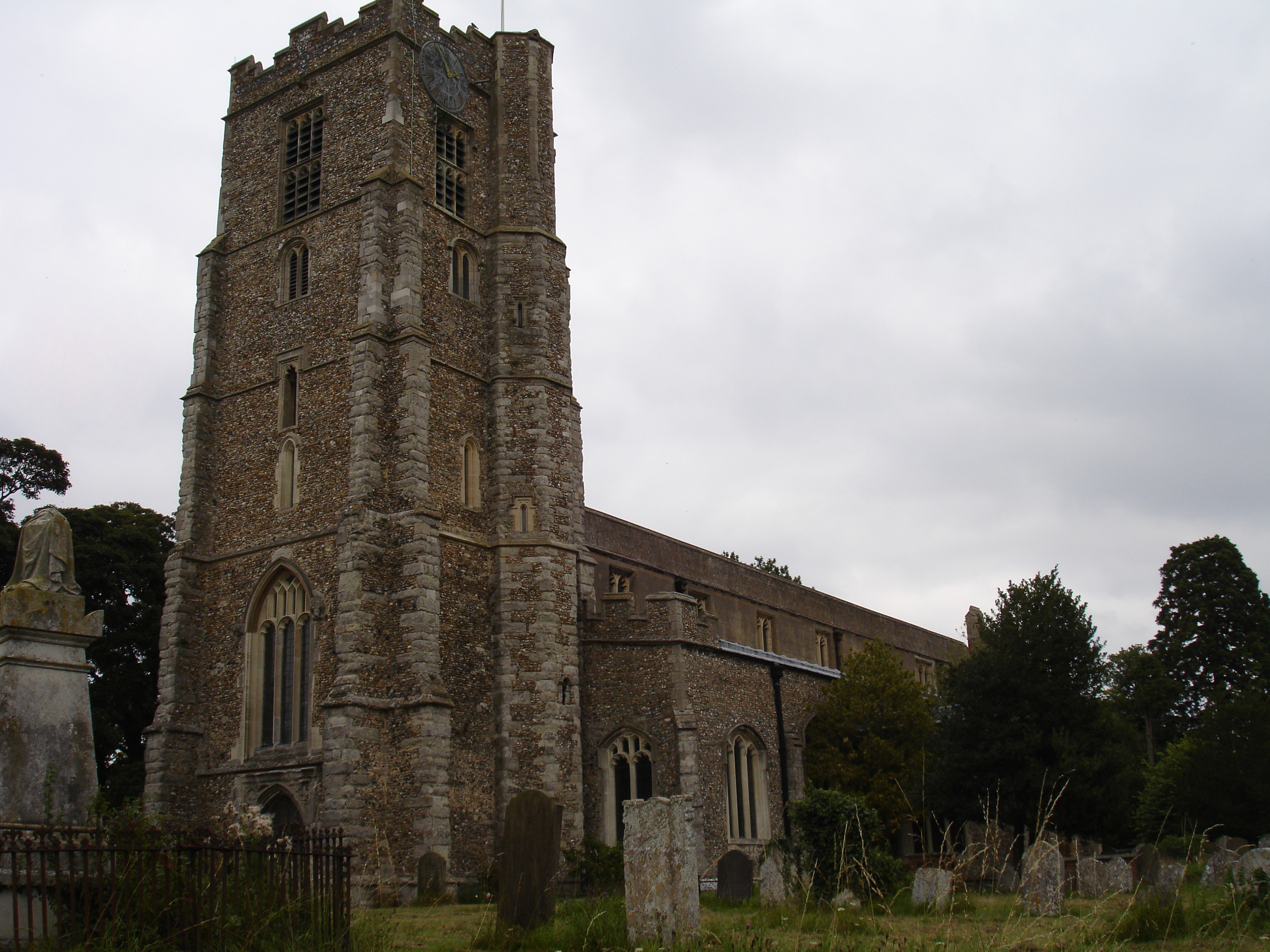
Wall Wood Images

Images are sourced within 2km of 51.843142/0.2134734 or Grid Reference TL5218. Thanks to Geograph Open Source API. All images are credited.

Junction and Sign The meeting of Hatfield Forest Road/ Wood Row/ Greenhill.
Junction and Sign
The meeting of Hatfield Forest Road/ Wood Row/ Greenhill.
Field, lane and a bit of hedgerow Taken on the lane between Copperfields and Forest Hall.
Field, lane and a bit of hedgerow
Taken on the lane between Copperfields and Forest Hall.
Straight road near Forest Farm This very straight section is about a kilometre in length and may mark the route of a Roman road heading for Takeley Street (several other straight sections occur between here and Takeley Street). "Street" in a place name often denotes a settlement on a Roman road and indeed Takeley Street is on Stane Street running east to west. I think it's not too fanciful to see this as a Roman route to Stane Street.
Straight road near Forest Farm
This very straight section is about a kilometre in length and may mark the route of a Roman road heading for Takeley Street (several other straight sections occur between here and Takeley Street). "Street" in a place name often denotes a settlement on a Roman road and indeed Takeley Street is on Stane Street running east to west. I think it's not too fanciful to see this as a Roman route to Stane Street.
Finger post at junction near Bridgefoot Farm Directions shown are left to Takeley and Hatfield Forest, right to Hatfield Broad Oak, and towards the photographer, to Woodside Green and Hallingbury. For a close-up see photo from contributor David Bremner <a href="https://www.geograph.org.uk/photo/7329457">TL5418 : Junction and Sign</a>
Finger post at junction near Bridgefoot Farm
Directions shown are left to Takeley and Hatfield Forest, right to Hatfield Broad Oak, and towards the photographer, to Woodside Green and Hallingbury. For a close-up see photo from contributor David Bremner TL5418 : Junction and Sign
St. Giles, Great Hallingbury
Lodge Farm, Essex This farm is situated at the southern end of Hatfield Forest, near to Little Hallingbury.
Lodge Farm, Essex
This farm is situated at the southern end of Hatfield Forest, near to Little Hallingbury.
Cottages at Woodside Green, Essex Woodside Green is a lovely place, at the southern end of Hatfield Forest near Little Hallingbury.  There is a large green area here where cows roam freely.
Cottages at Woodside Green, Essex
Woodside Green is a lovely place, at the southern end of Hatfield Forest near Little Hallingbury. There is a large green area here where cows roam freely.
Woodfold cottage at Woodside Green, Essex Woodside Green is near Little Hallingbury.  This cottage is just one of the many pretty buildings dotted around Woodside Green.
Woodfold cottage at Woodside Green, Essex
Woodside Green is near Little Hallingbury. This cottage is just one of the many pretty buildings dotted around Woodside Green.
Forest Farm, near Hatfield Broad Oak, Essex
Howletts, Hallingbury Street, Essex Hallingbury Street is a dead-end road that is full of interesting houses. This old house stands by the start of the street in Bedlars Green.
Howletts, Hallingbury Street, Essex
Hallingbury Street is a dead-end road that is full of interesting houses. This old house stands by the start of the street in Bedlars Green.
Wrights Green village The entrance to the village on Goose Lane, 50 metres from the bridge over the M11 motorway.
Wrights Green village
The entrance to the village on Goose Lane, 50 metres from the bridge over the M11 motorway.
Goose Lane bridge Goose Lane, Wrights Green, crosses the M11 via this bridge, only 50 metres from the entrance to the village.
Goose Lane bridge
Goose Lane, Wrights Green, crosses the M11 via this bridge, only 50 metres from the entrance to the village.
Footbridge This footbridge on the path Corringales is well overgrown, but accessible.
Footbridge
This footbridge on the path Corringales is well overgrown, but accessible.
Footpath junction A well-disguised junction of the path to Little Hallingbury Park from the Harcamlow Way-Three Forests Way footpath.
Footpath junction
A well-disguised junction of the path to Little Hallingbury Park from the Harcamlow Way-Three Forests Way footpath.
Bridgefoot Farm and footbridge The farm gets its name from standing by the footbridge, which is used when the small stream running beneath floods the road.
Bridgefoot Farm and footbridge
The farm gets its name from standing by the footbridge, which is used when the small stream running beneath floods the road.
Thatched cottage, close to Hatfield Forest, Essex
Heifer, Lodge Coppice, Hatfield Forest
Woodside Green, National Trust, near Hatfield Forest
Show me another place!

Wall Wood is located at Grid Ref: TL5218 (Lat: 51.843142, Lng: 0.2134734)

Administrative County: Essex

District: Uttlesford

Police Authority: Essex

What 3 Words

///visions.abode.nerves. Near Little Hallingbury, Essex

Nearby Locations

Wall Wood Woodside Green

Related Wikis

Bedlar's Green

Bedlar's Green is a hamlet in the Uttlesford district of Essex, England adjacent to the village of Great Hallingbury.

Korean Air Cargo Flight 8509

Korean Air Cargo Flight 8509 was a Boeing 747-2B5F, registered HL7451 bound for Milan Malpensa Airport, that crashed due to instrument malfunction and...

Hatfield Forest

Hatfield Forest is a 403.2-hectare (996-acre) biological Site of Special Scientific Interest in Essex, three miles east of Bishop's Stortford. It is also...

Portingbury Hills

Portingbury Hills (grid reference TL5320) or Portingbury Rings is a hill in Hatfield Forest, Hatfield Broad Oak, Essex, United Kingdom. == Artefacts... ==

Great Hallingbury

Great Hallingbury is a village and a civil parish in the Uttlesford District of Essex, England. The population of the civil parish at the 2011 census was...

Little Hallingbury

Little Hallingbury is a small village and a civil parish in the Uttlesford district of Essex, England. == Geography == Little Hallingbury parish is on...

Barrington Hall, Essex

Barrington Hall is a Grade II* listed 18th-century English country house in Hatfield Broad Oak, Essex, England. Barrington Hall is built in red brick...

Hatfield Regis Priory

Hatfield Broad Oak Priory, or Hatfield Regis Priory, is a former Benedictine priory in Hatfield Broad Oak, Essex, England. Founded by 1139, it was dissolved...

Nearby Amenities

Located within 500m of 51.843142,0.2134734
Barrier: cattle_grid
Horse: no
Lat/Long: 51.8438187/0.2092267
Woodside Green
Place: hamlet
Lat/Long: 51.841406/0.2071844
Barrier: stile
Lat/Long: 51.8437578/0.207618
Information: board
Tourism: information
Lat/Long: 51.8462301/0.2182118
The data included in this document is from www.openstreetmap.org. The data is made available under ODbL.

Have you been to Wall Wood?

Leave your review of Wall Wood below (or comments, questions and feedback).