Hodge's Wood
Wood, Forest in Sussex Wealden
England
Hodge's Wood

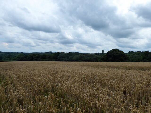
Hodge's Wood is a picturesque forest located in Sussex, England. Covering an area of approximately 200 acres, this woodland is a haven for nature enthusiasts and a popular destination for outdoor activities. The wood is situated near the village of Hodge, which lends its name to the natural attraction.
The wood is predominantly composed of broadleaf trees, such as oak, beech, and ash, creating a diverse and vibrant ecosystem. It is home to a wide range of flora and fauna, including various species of birds, mammals, and insects. Nature lovers can enjoy birdwatching, as the wood attracts a variety of avian species, from songbirds to woodpeckers.
Walking trails wind their way through the enchanting woodland, allowing visitors to immerse themselves in its natural beauty. These paths are well-maintained and suitable for year-round exploration, offering glimpses of beautiful wildflowers during spring and stunning autumn foliage later in the year.
Hodge's Wood is also a designated site for conservation and preservation, ensuring the protection of its unique environment and biodiversity. The wood is managed by a local trust, which organizes educational programs and events to promote awareness and appreciation of the natural heritage found within.
Whether one seeks a tranquil escape from the hustle and bustle of everyday life, a chance to observe and learn about local wildlife, or simply a leisurely stroll surrounded by stunning scenery, Hodge's Wood in Sussex is an ideal destination for nature lovers and outdoor enthusiasts.
If you have any feedback on the listing, please let us know in the comments section below.
Hodge's Wood Images
Images are sourced within 2km of 51.098739/0.17697173 or Grid Reference TQ5235. Thanks to Geograph Open Source API. All images are credited.


Hodge's Wood is located at Grid Ref: TQ5235 (Lat: 51.098739, Lng: 0.17697173)
Administrative County: East Sussex
District: Wealden
Police Authority: Sussex
What 3 Words
///smiled.doctor.commuting. Near Groombridge, East Sussex
Nearby Locations
Related Wikis
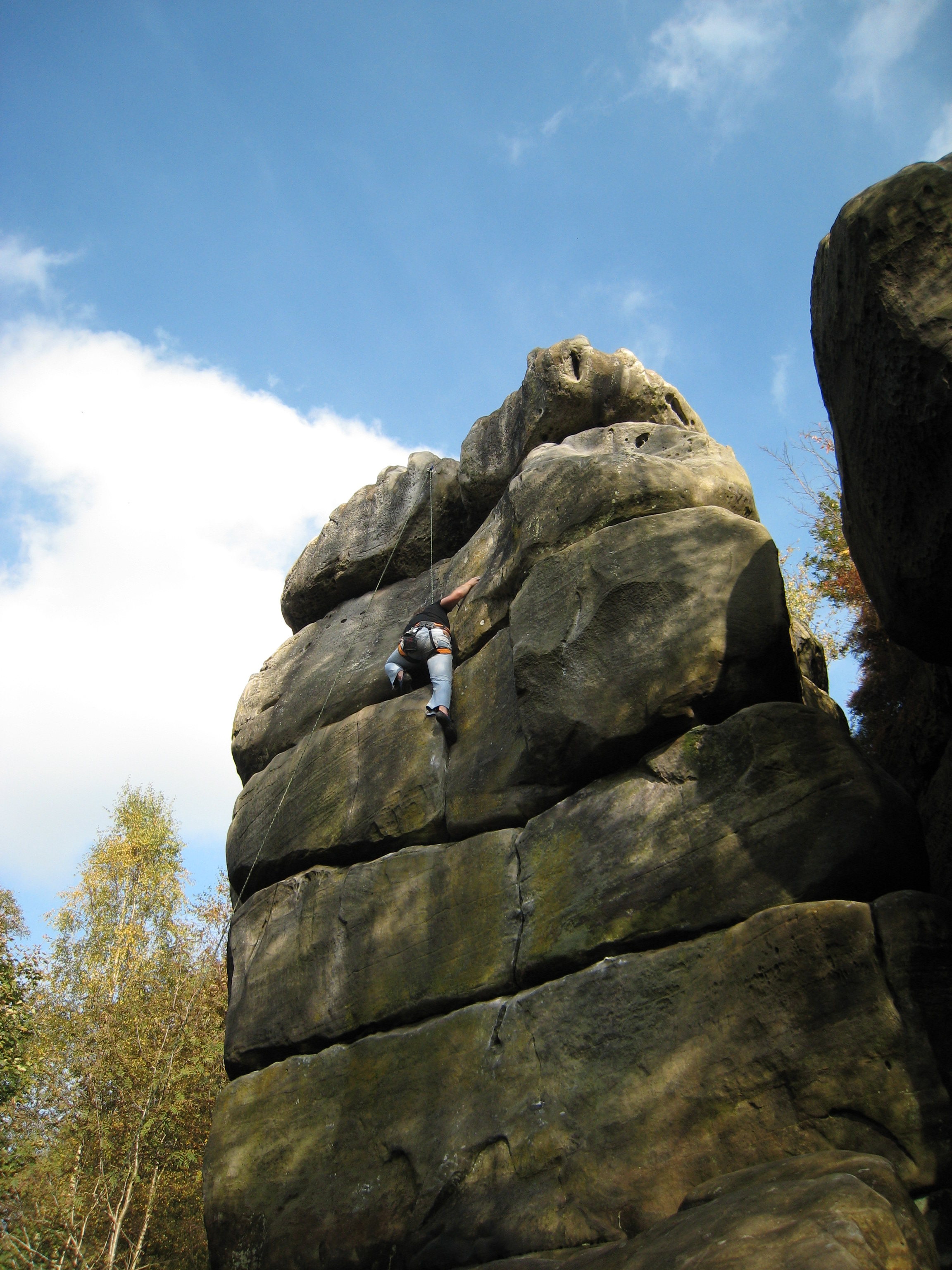
Harrison's Rocks
Harrison's Rocks is a series of sandstone crags approximately 1.5 kilometres (1 mi) south of the village of Groombridge in the county of East Sussex. The...

Penn's Rocks
Penn's Rocks is a 10.2-hectare (25-acre) biological Site of Special Scientific Interest north of Crowborough in East Sussex.This site is a steep sided...
Groombridge
Groombridge is a village of about 1,600 people. It straddles the border between Kent and East Sussex, in England. The nearest large town is Royal Tunbridge...

Groombridge railway station
Groombridge railway station is a station on the Spa Valley Railway (SVR) in Groombridge, East Sussex, England. Once a busy station serving four directions...

Eridge railway station
Eridge railway station is on the Uckfield branch of the Oxted line in southern England and serves a rural district around Eridge in East Sussex. It is...

Arun Valley line
The Arun Valley line, also known as the Mid Sussex line, is part of the Southern- and Thameslink-operated railway services. For the initial part of the...

Groombridge Place
Groombridge Place is a moated manor house in the village of Groombridge near Tunbridge Wells, Kent, England. It has become a tourist attraction, noted...

Buckhurst Park, East Sussex
Buckhurst Park is an English country house and landscaped park in Withyham, East Sussex. It is the seat of William Sackville, 11th Earl De La Warr.The...
Nearby Amenities
Located within 500m of 51.098739,0.17697173Have you been to Hodge's Wood?
Leave your review of Hodge's Wood below (or comments, questions and feedback).