Alsa Wood
Wood, Forest in Essex Uttlesford
England
Alsa Wood
Alsa Wood is a small village located in the county of Essex, England. Situated within the district of Uttlesford, it is part of the larger civil parish of Wood, Forest. Despite its small size, Alsa Wood boasts a rich history and picturesque surroundings.
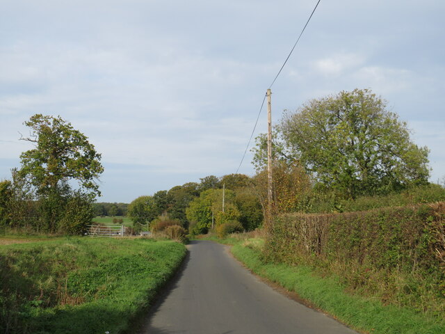
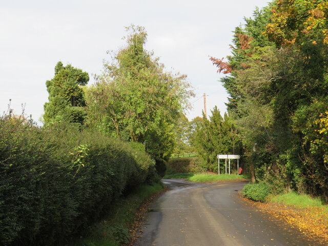
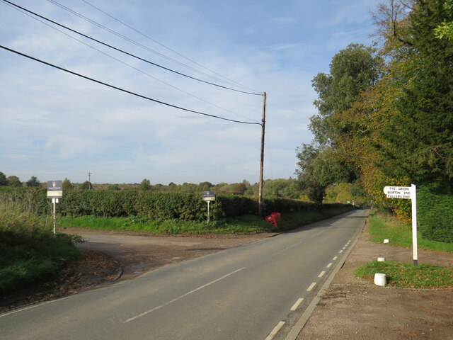
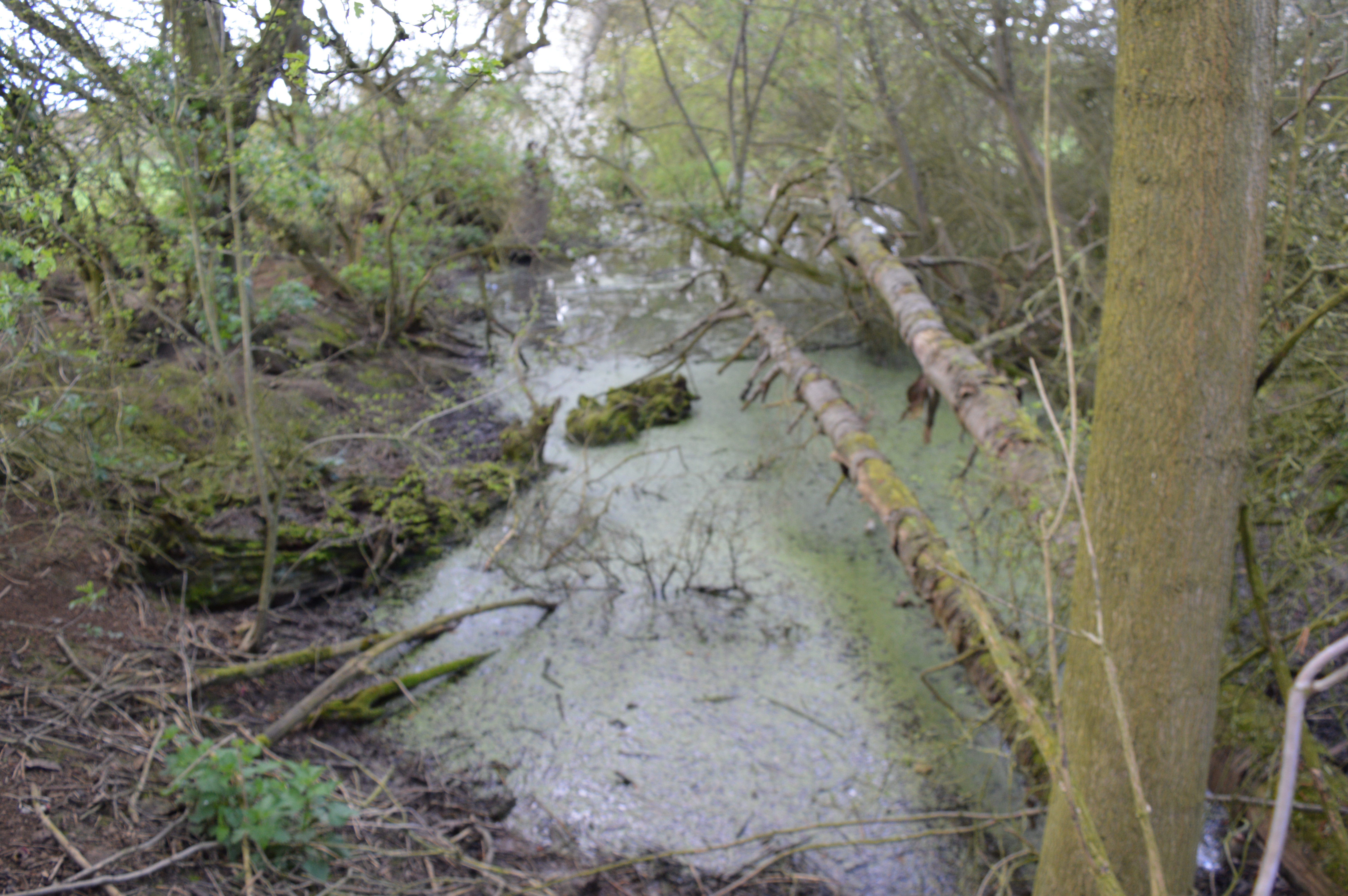
The village is nestled amidst the stunning Essex countryside, with rolling hills and lush greenery surrounding it. It offers a peaceful and tranquil setting, making it an ideal location for those seeking a quiet and rural lifestyle.
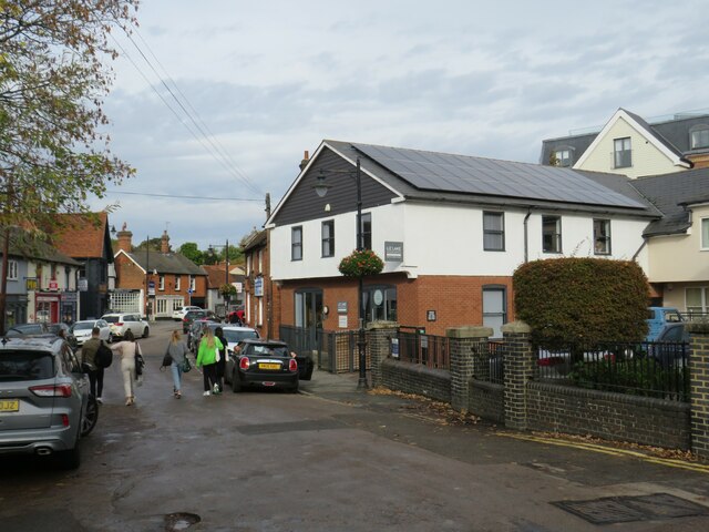
Alsa Wood is known for its charming architecture, with many traditional cottages and farmhouses dotting the landscape. These buildings are often made of locally sourced materials, showcasing the area's natural beauty.
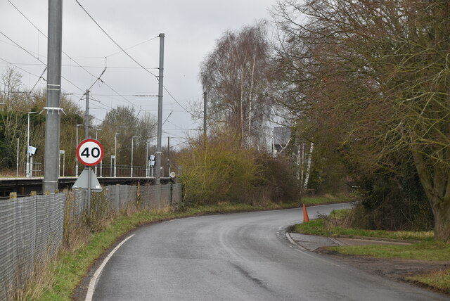
The village is well-connected to nearby towns and cities, with good road links and public transportation options. This allows residents easy access to amenities and services outside the village, while still enjoying the benefits of a close-knit community.
The surrounding area offers plenty of opportunities for outdoor activities and exploration. There are numerous walking and cycling trails that wind through the countryside, providing breathtaking views and ample opportunities to connect with nature.
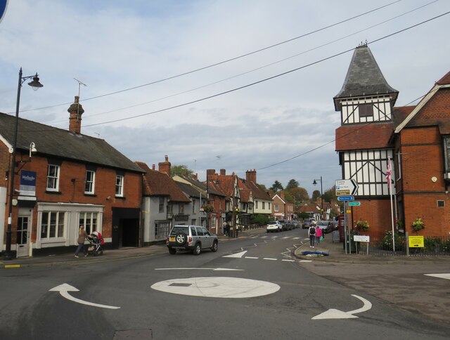
Despite its rural setting, Alsa Wood is not far from larger towns and cities. The bustling market town of Saffron Walden is just a short drive away, offering a range of shops, restaurants, and cultural attractions.
Overall, Alsa Wood offers a peaceful and idyllic setting, combining natural beauty with a close-knit community and easy access to amenities. It is a place where residents can enjoy a slower pace of life while still being within reach of larger urban centers.
If you have any feedback on the listing, please let us know in the comments section below.
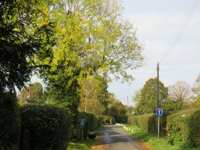
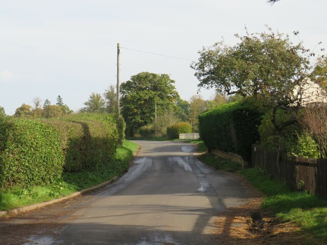
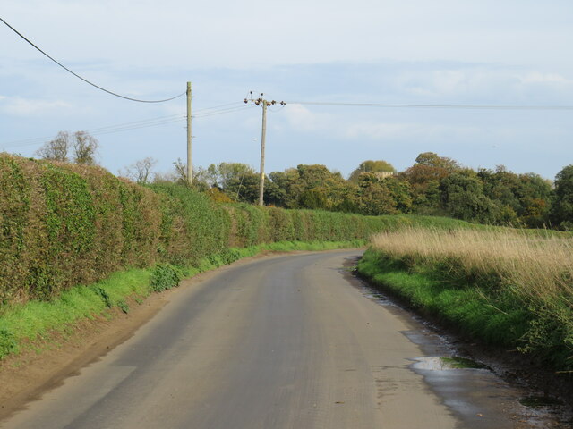
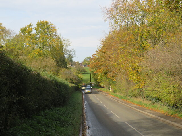
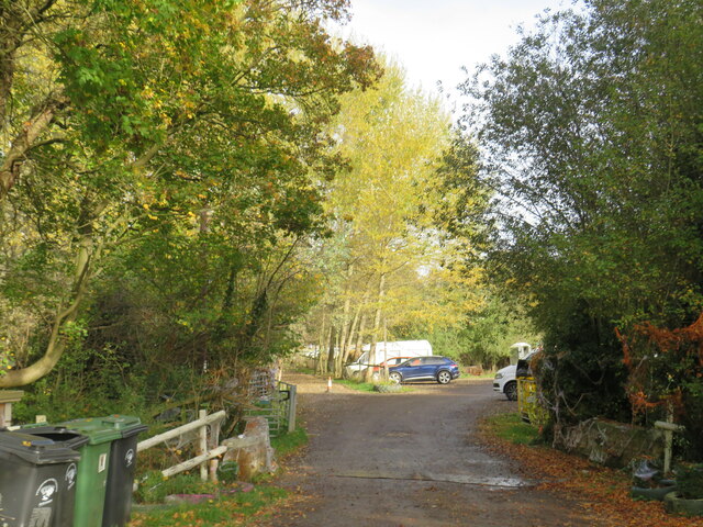
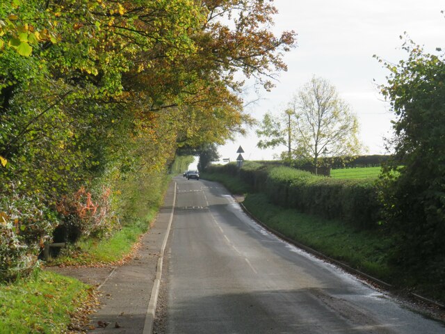
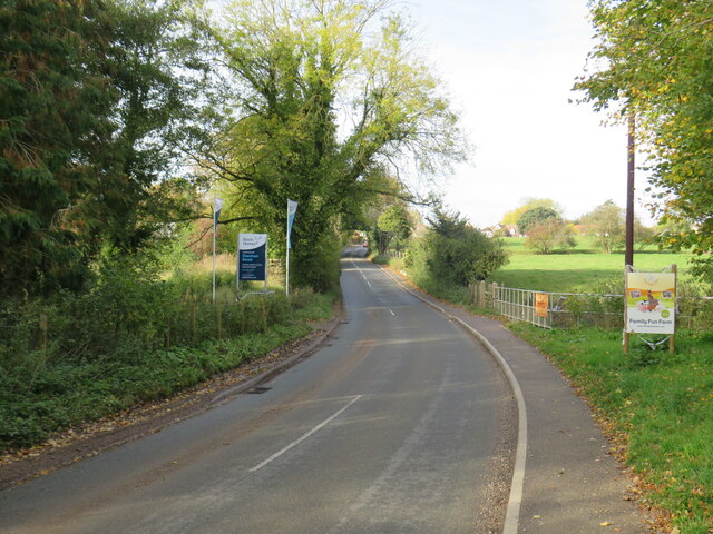
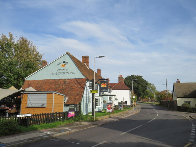
Alsa Wood Images
Images are sourced within 2km of 51.916439/0.21592831 or Grid Reference TL5226. Thanks to Geograph Open Source API. All images are credited.
Alsa Wood is located at Grid Ref: TL5226 (Lat: 51.916439, Lng: 0.21592831)
Administrative County: Essex
District: Uttlesford
Police Authority: Essex
What 3 Words
///roadways.stereos.departure. Near Elsenham, Essex
Nearby Locations
Related Wikis

Aubrey Buxton Nature Reserve
Aubrey Buxton Nature Reserve is a 9.7-hectare (24-acre) nature reserve west of Elsenham in Essex. It was donated to the Essex Wildlife Trust by Aubrey...

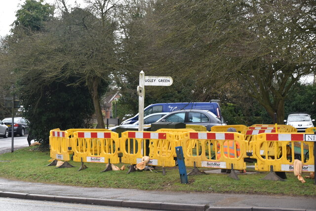
Ugley Green
Ugley Green is a small village in the district of Uttlesford in Essex, England. It is approximately 6 miles (10 km) north-east from Bishops Stortford,...
Elsenham
Elsenham is a village and civil parish in north-west Essex in eastern England. Its neighbouring settlements include Bishop's Stortford, Saffron Walden...
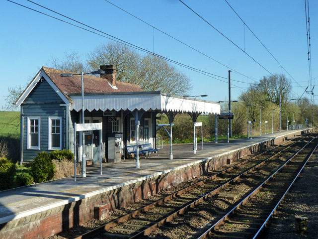
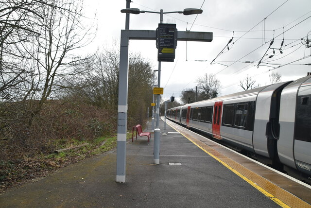
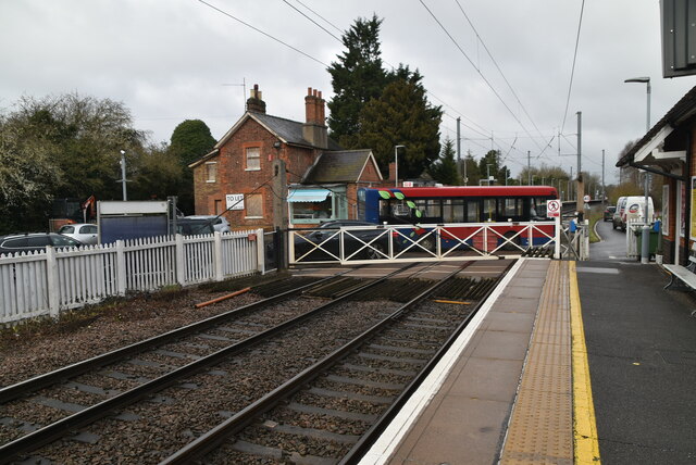
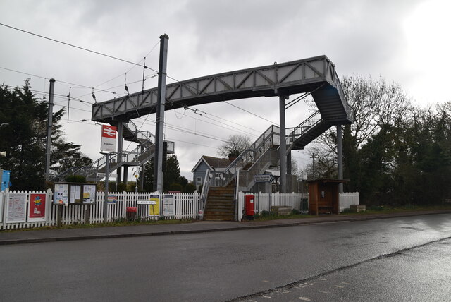
Elsenham railway station
Elsenham railway station is found on the West Anglia Main Line, serving the village of Elsenham in Essex, England. It is 35 miles 45 chains (57.2 km) down...

Orford House
Orford House is a country house in the small medieval hamlet of Ugley, Essex, England. == History == The house was built for Edward Russell, who went on...
Hall's Quarry
Hall's Quarry is a 0.8-hectare (2.0-acre) geological Site of Special Scientific Interest north-west of Ugley Green in Essex. It is a Geological Conservation...

Stansted Mountfitchet Castle
Stansted Mountfitchet Castle, also termed simply Mountfitchet Castle, is a Norman ringwork and bailey fortification in Stansted Mountfitchet, Essex, England...

Stansted Rural District
Stansted was a rural district in Essex, England from 1894 (1894) to 1934 (1934). It was created under the Local Government Act 1894 from the part of the...
Nearby Amenities
Located within 500m of 51.916439,0.21592831Have you been to Alsa Wood?
Leave your review of Alsa Wood below (or comments, questions and feedback).