Cole's Wood
Wood, Forest in Sussex Wealden
England
Cole's Wood

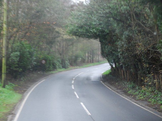
Cole's Wood is a picturesque woodland located in the county of Sussex, England. Situated near the village of Cole's Hill, the wood covers an area of approximately 100 acres, offering a tranquil and serene escape from the hustle and bustle of daily life.
The woodland is predominantly made up of native broadleaf trees, including oak, beech, and ash, which form a dense canopy overhead, providing shade and shelter for a diverse range of flora and fauna. The forest floor is adorned with a vibrant carpet of bluebells during the spring months, creating a stunning display of color.
Visitors to Cole's Wood can enjoy a network of well-maintained footpaths that wind their way through the woodland, allowing for pleasant walks and explorations. The paths are suitable for all ages and abilities, making it a popular destination for families, nature enthusiasts, and dog walkers.
Wildlife thrives within the wood, with numerous bird species such as woodpeckers, owls, and warblers making it their home. Squirrels can be seen darting through the trees, and if lucky, visitors may catch a glimpse of a deer or fox.
The wood is managed by a local conservation group, ensuring the preservation of its natural beauty and biodiversity. Regular maintenance, including tree thinning and the removal of invasive species, is carried out to maintain a healthy woodland ecosystem.
Overall, Cole's Wood offers a serene and enchanting experience for those seeking a connection with nature. Its stunning scenery, diverse wildlife, and well-maintained paths make it a must-visit destination for anyone in Sussex.
If you have any feedback on the listing, please let us know in the comments section below.
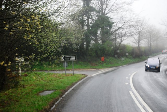
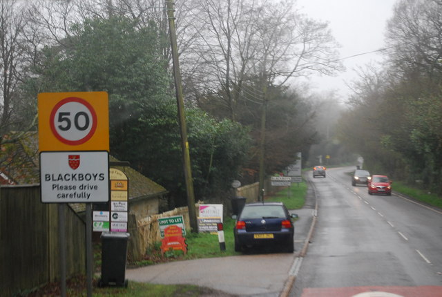
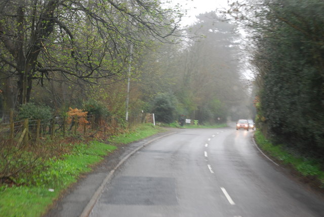
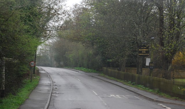
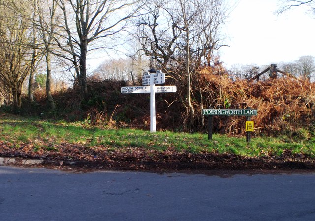
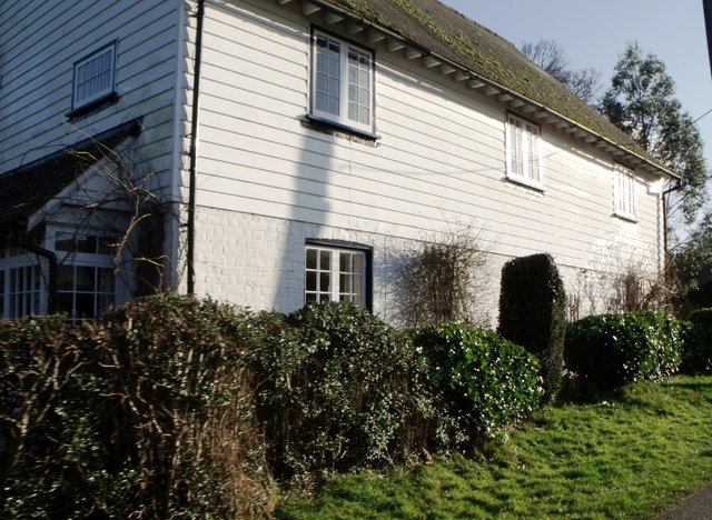
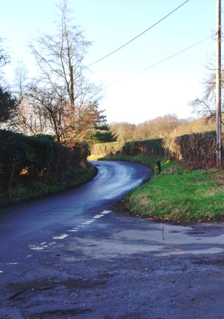
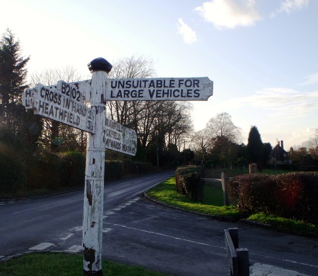
Cole's Wood Images
Images are sourced within 2km of 50.977103/0.16871315 or Grid Reference TQ5221. Thanks to Geograph Open Source API. All images are credited.


Cole's Wood is located at Grid Ref: TQ5221 (Lat: 50.977103, Lng: 0.16871315)
Administrative County: East Sussex
District: Wealden
Police Authority: Sussex
What 3 Words
///dislikes.committed.activism. Near Buxted, East Sussex
Nearby Locations
Related Wikis

Vanguard Way
The Vanguard Way is a long-distance walk of 66.2 mi (106.5 km) from East Croydon station in outer London (OS grid reference TQ328658), travelling from...
Etchingwood
Etchingwood is a small cluster of mostly detached properties and farms within the civil parish of Buxted in the Wealden district of East Sussex, England...

Holy Cross Priory, Cross-in-Hand
Holy Cross Priory, Cross-in-Hand, is a priory of the Benedictine Sisters of Grace and Compassion which provides homes for the elderly. It was established...

Five Ash Down Independent Chapel
Five Ash Down Independent Chapel is an independent Evangelical church in the Reformed (Calvinist) tradition in the hamlet of Five Ash Down, East Sussex...

Providence Chapel, Hadlow Down
Providence Chapel is a former independent Calvinistic place of worship in the village of Hadlow Down in Wealden, one of six local government districts...

St Mark's Church, Hadlow Down
St Mark's Church (dedicated to St Mark the Evangelist) is an Anglican church in the village of Hadlow Down in the district of Wealden, one of six local...

Great Bush Railway
The Great Bush Railway is a private, 2 ft (610 mm) narrow gauge running round the edge of Tinkers Park, Hadlow Down, Sussex. The railway is operated by...

Hadlow Down
Hadlow Down is a village and civil parish in the Wealden District of East Sussex, England. It is located on the A272 road three miles (4.8 km) north-west...
Nearby Amenities
Located within 500m of 50.977103,0.16871315Have you been to Cole's Wood?
Leave your review of Cole's Wood below (or comments, questions and feedback).