Minepit Wood

Wood, Forest in Sussex Wealden

England

Minepit Wood

Coppice Wood
Coppice Wood Credit: N Chadwick

Minepit Wood is a picturesque woodland located in the county of Sussex, England. Spread across an area of approximately 100 acres, it is known for its diverse range of flora and fauna, making it a popular destination for nature enthusiasts and hikers.

The wood is characterized by its dense canopy of tall trees, primarily oak and beech, which provide a cool and shady environment even during the hot summer months. The forest floor is covered in a thick layer of leaf litter, creating a soft and cushioned path for visitors to explore.

Numerous walking trails meander through the wood, allowing visitors to immerse themselves in the serene beauty of nature. These trails are well-maintained and suitable for individuals of all ages and fitness levels. Along the way, one can spot a variety of native wildlife, including deer, foxes, badgers, and a wide range of bird species.

Minepit Wood is also home to a variety of plant species, with bluebells carpeting the forest floor during the spring months. The wood provides a habitat for many rare and protected plants, making it an important conservation area.

In addition to its natural beauty, Minepit Wood offers several amenities for visitors. There are picnic areas dotted throughout the wood, providing a perfect spot for families and groups to relax and enjoy a meal amidst the tranquil surroundings. Interpretive signs are also placed strategically along the trails, providing educational information about the wood's history and ecology.

Overall, Minepit Wood is a haven of tranquility and natural beauty, offering a refreshing escape from the hustle and bustle of everyday life.

If you have any feedback on the listing, please let us know in the comments section below.

Minepit Wood Images

Images are sourced within 2km of 51.085271/0.17195555 or Grid Reference TQ5234. Thanks to Geograph Open Source API. All images are credited.

Coppice Wood
Coppice Wood
Autumn colours, Coppice Wood
Coppice Wood
Coppice Wood
Single tree
Single tree
Coppice Wood
Coppice Wood
HWLT, Coppice Wood The High Weald Landscape Trail (HWLT) is a 90 mile route between Horsham, West Sussex and Rye, East Sussex, designed to pass through the main landscape types of the High Weald Area of Outstanding Natural Beauty (AONB). It does not follow the highest ground, and the eastern section is only a few feet above sea level. It keeps to the northern edge of the High Weald except in the west where it runs close to the southern edge for a short distance.
It is a trail of regional importance supported by the High Weald Forum and local authorities in East and West Sussex, and Kent. The route is well signposted. It follows public rights of way and roads with the occasional permissive path.
The geology is alternating sandstones and clays, and the latter can be very muddy in wet conditions so boots are a must except in very dry weather. Some sections become very overgrown in summer with nettles and brambles.
HWLT, Coppice Wood
The High Weald Landscape Trail (HWLT) is a 90 mile route between Horsham, West Sussex and Rye, East Sussex, designed to pass through the main landscape types of the High Weald Area of Outstanding Natural Beauty (AONB). It does not follow the highest ground, and the eastern section is only a few feet above sea level. It keeps to the northern edge of the High Weald except in the west where it runs close to the southern edge for a short distance. It is a trail of regional importance supported by the High Weald Forum and local authorities in East and West Sussex, and Kent. The route is well signposted. It follows public rights of way and roads with the occasional permissive path. The geology is alternating sandstones and clays, and the latter can be very muddy in wet conditions so boots are a must except in very dry weather. Some sections become very overgrown in summer with nettles and brambles.
High Weald Landscape Trail The High Weald Landscape Trail (HWLT) is a 90 mile route between Horsham, West Sussex and Rye, East Sussex, designed to pass through the main landscape types of the High Weald Area of Outstanding Natural Beauty (AONB). It does not follow the highest ground, and the eastern section is only a few feet above sea level. It keeps to the northern edge of the High Weald except in the west where it runs close to the southern edge for a short distance.
It is a trail of regional importance supported by the High Weald Forum and local authorities in East and West Sussex, and Kent. The route is well signposted. It follows public rights of way and roads with the occasional permissive path.
The geology is alternating sandstones and clays, and the latter can be very muddy in wet conditions so boots are a must except in very dry weather. Some sections become very overgrown in summer with nettles and brambles.
High Weald Landscape Trail
The High Weald Landscape Trail (HWLT) is a 90 mile route between Horsham, West Sussex and Rye, East Sussex, designed to pass through the main landscape types of the High Weald Area of Outstanding Natural Beauty (AONB). It does not follow the highest ground, and the eastern section is only a few feet above sea level. It keeps to the northern edge of the High Weald except in the west where it runs close to the southern edge for a short distance. It is a trail of regional importance supported by the High Weald Forum and local authorities in East and West Sussex, and Kent. The route is well signposted. It follows public rights of way and roads with the occasional permissive path. The geology is alternating sandstones and clays, and the latter can be very muddy in wet conditions so boots are a must except in very dry weather. Some sections become very overgrown in summer with nettles and brambles.
Buckhurst Cottage
Buckhurst Cottage
The Coppice
The Coppice
Sessex pasture
Sessex pasture
Sussex pasture
Sussex pasture
Sussex pasture
Sussex pasture
High Weald Landscape Trail The High Weald Landscape Trail (HWLT) is a 90 mile route between Horsham, West Sussex and Rye, East Sussex, designed to pass through the main landscape types of the High Weald Area of Outstanding Natural Beauty (AONB). It does not follow the highest ground, and the eastern section is only a few feet above sea level. It keeps to the northern edge of the High Weald except in the west where it runs close to the southern edge for a short distance.
It is a trail of regional importance supported by the High Weald Forum and local authorities in East and West Sussex, and Kent. The route is well signposted. It follows public rights of way and roads with the occasional permissive path.
The geology is alternating sandstones and clays, and the latter can be very muddy in wet conditions so boots are a must except in very dry weather. Some sections become very overgrown in summer with nettles and brambles.
High Weald Landscape Trail
The High Weald Landscape Trail (HWLT) is a 90 mile route between Horsham, West Sussex and Rye, East Sussex, designed to pass through the main landscape types of the High Weald Area of Outstanding Natural Beauty (AONB). It does not follow the highest ground, and the eastern section is only a few feet above sea level. It keeps to the northern edge of the High Weald except in the west where it runs close to the southern edge for a short distance. It is a trail of regional importance supported by the High Weald Forum and local authorities in East and West Sussex, and Kent. The route is well signposted. It follows public rights of way and roads with the occasional permissive path. The geology is alternating sandstones and clays, and the latter can be very muddy in wet conditions so boots are a must except in very dry weather. Some sections become very overgrown in summer with nettles and brambles.
High Weald Landscape Trail
B2188 The B2188 runs approximately 10 miles from Penshurst <a href="https://www.geograph.org.uk/photo/6971386">TQ5243 : B2188 / B2176 junction, Penshurst</a> to Camp Hill <a href="https://www.geograph.org.uk/photo/7367249">TQ4730 : Road junction at Kings Standing</a> in The Ashdown Forest, via Groombridge. The road is in two sections, Camp Hill <a href="https://www.geograph.org.uk/photo/7367249">TQ4730 : Road junction at Kings Standing</a> to Groombridge <a href="https://www.geograph.org.uk/photo/6677056">TQ5236 : B2188, B2110 junction</a> and The A264 near Langton Green to Penshurst <a href="https://www.geograph.org.uk/photo/6971386">TQ5243 : B2188 / B2176 junction, Penshurst</a>.
B2188
The B2188 runs approximately 10 miles from Penshurst TQ5243 : B2188 / B2176 junction, Penshurst to Camp Hill TQ4730 : Road junction at Kings Standing in The Ashdown Forest, via Groombridge. The road is in two sections, Camp Hill TQ4730 : Road junction at Kings Standing to Groombridge TQ5236 : B2188, B2110 junction and The A264 near Langton Green to Penshurst TQ5243 : B2188 / B2176 junction, Penshurst.
Sheep in the road
Sheep in the road
Whitehouse Lane
Whitehouse Lane
Show me another place!

Minepit Wood is located at Grid Ref: TQ5234 (Lat: 51.085271, Lng: 0.17195555)

Administrative County: East Sussex

District: Wealden

Police Authority: Sussex

What 3 Words

///puzzle.swooned.cyclones. Near Crowborough, East Sussex

Related Wikis

Penn's Rocks

Penn's Rocks is a 10.2-hectare (25-acre) biological Site of Special Scientific Interest north of Crowborough in East Sussex.This site is a steep sided...

Bream Wood

Bream Wood is a 7.8-hectare (19-acre) biological Site of Special Scientific Interest north of Crowborough in East Sussex.This steep sided valley wood has...
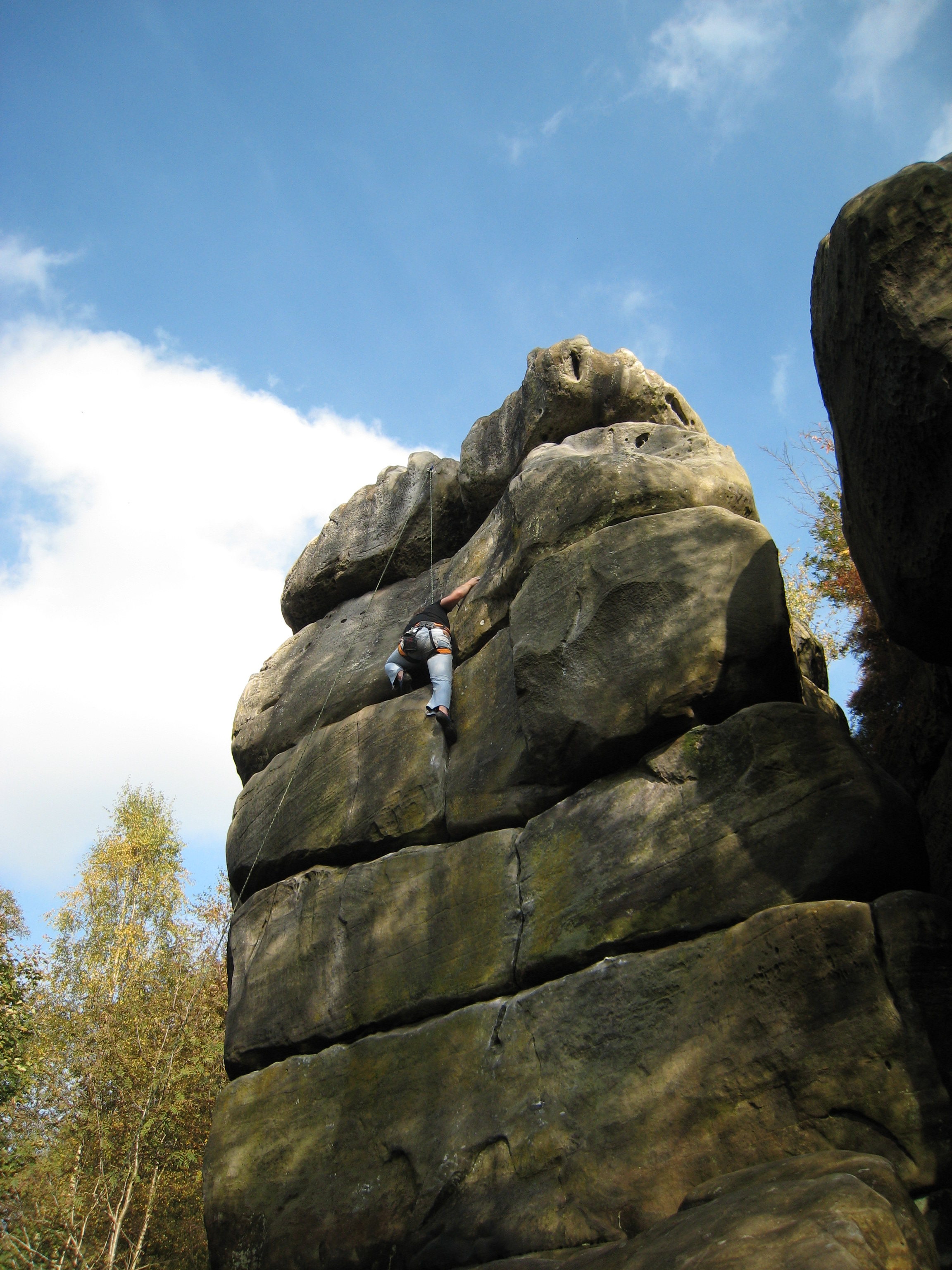
Harrison's Rocks

Harrison's Rocks is a series of sandstone crags approximately 1.5 kilometres (1 mi) south of the village of Groombridge in the county of East Sussex. The...

Eridge railway station

Eridge railway station is on the Uckfield branch of the Oxted line in southern England and serves a rural district around Eridge in East Sussex. It is...

Bowles Rocks

Bowles Rocks is a sandstone crag in the county of East Sussex, on the border with Kent, approximately 8 kilometres (5 mi) south of the town of Royal Tunbridge...

Bowles Outdoor Centre

Bowles Outdoor Centre is an outdoor education/outdoor learning centre in southeast England, located between Royal Tunbridge Wells and Crowborough at Bowles...

Buckhurst Park, East Sussex

Buckhurst Park is an English country house and landscaped park in Withyham, East Sussex. It is the seat of William Sackville, 11th Earl De La Warr.The...

Crowborough Community Church

Crowborough Community Church (also known as Community Church, Crowborough) is an Evangelical church in the town of Crowborough in East Sussex, England...

Have you been to Minepit Wood?

Leave your review of Minepit Wood below (or comments, questions and feedback).