Farley Green
Settlement in Suffolk West Suffolk
England
Farley Green
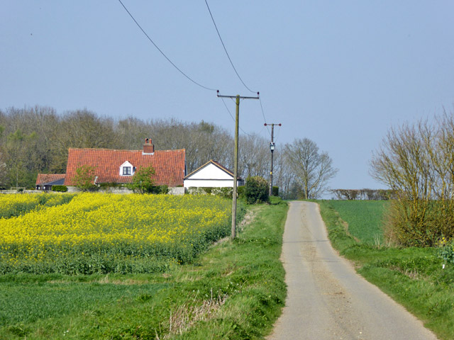
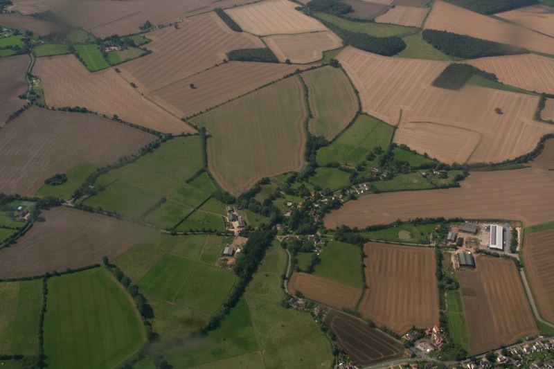
Farley Green is a small village located in the county of Suffolk, England. Situated approximately 6 miles south of the town of Bury St Edmunds, it falls within the St Edmundsbury district. The village is nestled amidst picturesque countryside, boasting stunning views and a peaceful atmosphere.
With a population of around 200 residents, Farley Green is a close-knit community that offers a tight sense of community spirit. The village is predominantly made up of traditional English cottages and houses, giving it a charming and quaint character. The local architecture is a mix of different periods, with some buildings dating back several centuries.
Despite its small size, Farley Green is home to a few amenities to cater to its residents. These include a village hall, which serves as a hub for community events and gatherings. There is also a small playground for children to enjoy. However, due to its rural location, residents often rely on nearby towns for more extensive facilities and services.
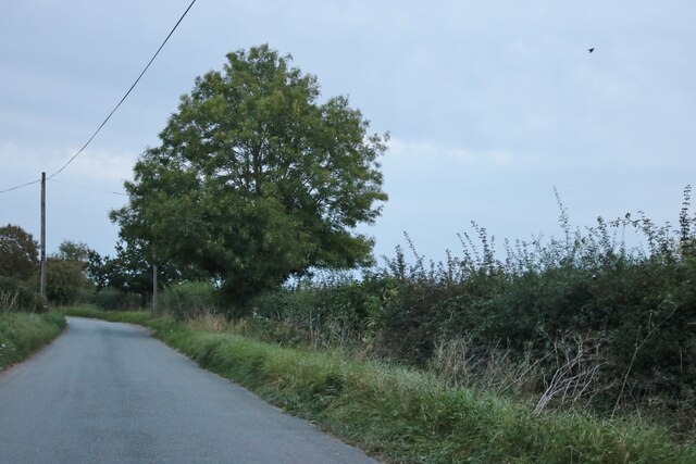
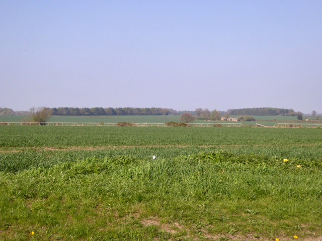
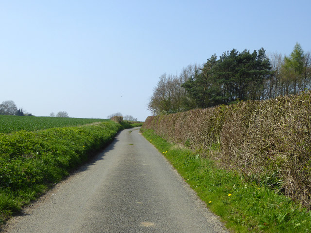
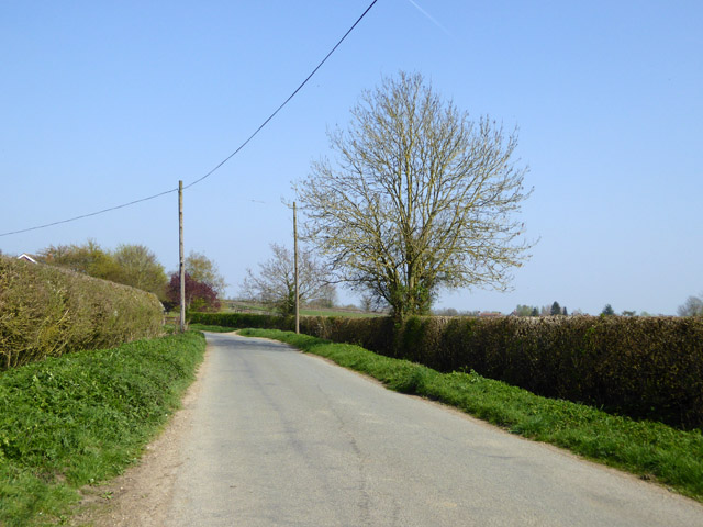
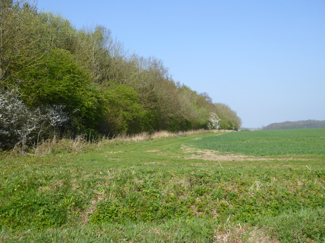
Surrounded by rolling hills and fields, Farley Green offers plenty of opportunities for outdoor activities and nature walks. The area is known for its beautiful landscapes, making it a popular spot for hikers, cyclists, and nature enthusiasts. Additionally, the village is well-connected through a network of footpaths and bridleways, allowing residents to explore the surrounding countryside.
Overall, Farley Green is a charming and idyllic village that offers a peaceful and rural lifestyle. Its stunning natural surroundings and strong sense of community make it an attractive place to live for those seeking a tranquil countryside setting.
If you have any feedback on the listing, please let us know in the comments section below.
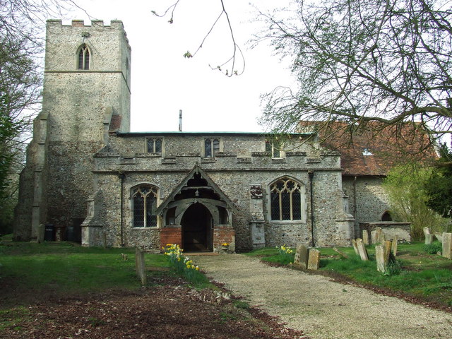
Farley Green Images
Images are sourced within 2km of 52.150761/0.53328997 or Grid Reference TL7353. Thanks to Geograph Open Source API. All images are credited.


Farley Green is located at Grid Ref: TL7353 (Lat: 52.150761, Lng: 0.53328997)
Administrative County: Suffolk
District: West Suffolk
Police Authority: Suffolk
What 3 Words
///system.scribble.kick. Near Kedington, Suffolk
Nearby Locations
Related Wikis
Attleton Green
Attleton Green is a hamlet in Suffolk, England. It is part of the Whepstead & Wickhambrook Electoral division of West Suffolk District. Attleton Green...

Clare Rural District
Clare Rural District was a rural district in the county of West Suffolk, England. It was created by the Local Government Act 1894, comprising those parishes...
Stradishall
Stradishall is a village and civil parish in West Suffolk in the English county of Suffolk. The civil parish includes a number of hamlets including Farley...

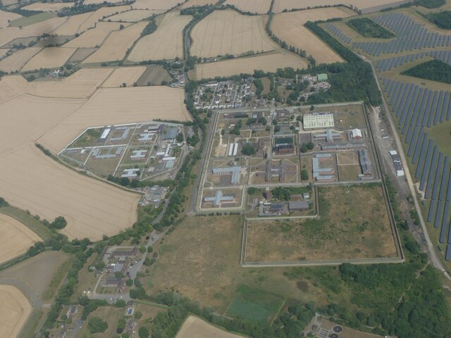
HM Prison Highpoint North
HM Prison Highpoint North (formerly called Highpoint Prison and Edmunds Hill Prison) is a Category C men's prison, located in the village of Stradishall...
Nearby Amenities
Located within 500m of 52.150761,0.53328997Have you been to Farley Green?
Leave your review of Farley Green below (or comments, questions and feedback).