Downhall Wood

Wood, Forest in Essex Uttlesford

England

Downhall Wood

Harlow Road Towards Newman's End and Sheering.
Harlow Road Credit: Robin Webster

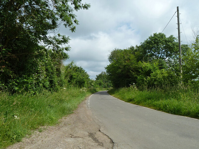
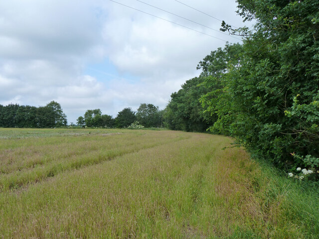
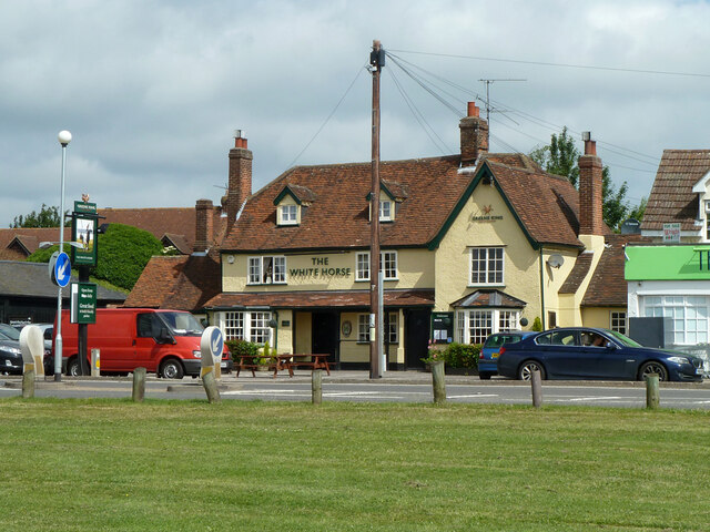
Downhall Wood is a picturesque woodland located in Essex, England. Covering an area of approximately 60 hectares, it is a popular destination for nature enthusiasts and those seeking tranquility in a serene natural setting. The wood is situated near the village of Rayleigh, just a short distance from the bustling town of Southend-on-Sea.

The woodland is primarily composed of a mix of broadleaf trees, including oak, ash, and beech, creating a diverse and vibrant ecosystem. The dense canopy provides ample shade and shelter for a variety of wildlife species that call Downhall Wood home. Visitors can expect to encounter a range of bird species, such as woodpeckers, thrushes, and owls, as well as small mammals like squirrels, foxes, and hedgehogs.

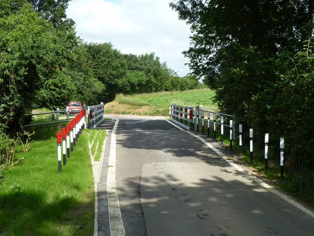
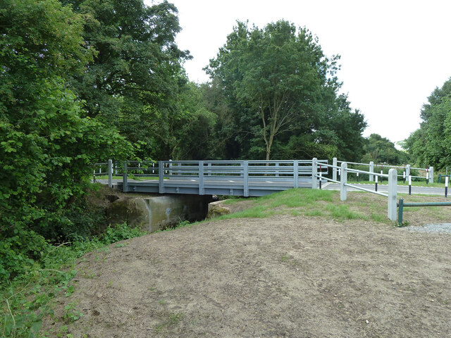
Several well-maintained footpaths wind their way through the wood, allowing visitors to explore its beauty at their own pace. These paths provide opportunities for leisurely walks, jogging, or simply enjoying the peaceful ambiance of the natural surroundings. In spring, the forest floor comes alive with a colorful carpet of bluebells, creating a truly enchanting sight.

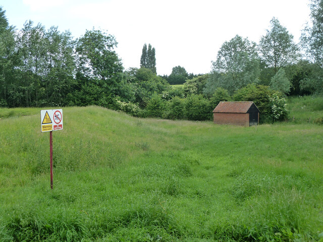
Downhall Wood is managed by the local council, ensuring that it remains a well-preserved natural habitat for both wildlife and visitors. The wood is easily accessible, with ample parking available nearby, making it a popular spot for families, dog walkers, and nature lovers alike.

Overall, Downhall Wood offers a welcoming escape from the hustle and bustle of everyday life, providing a tranquil haven where visitors can connect with nature and enjoy the beauty of the Essex countryside.

If you have any feedback on the listing, please let us know in the comments section below.

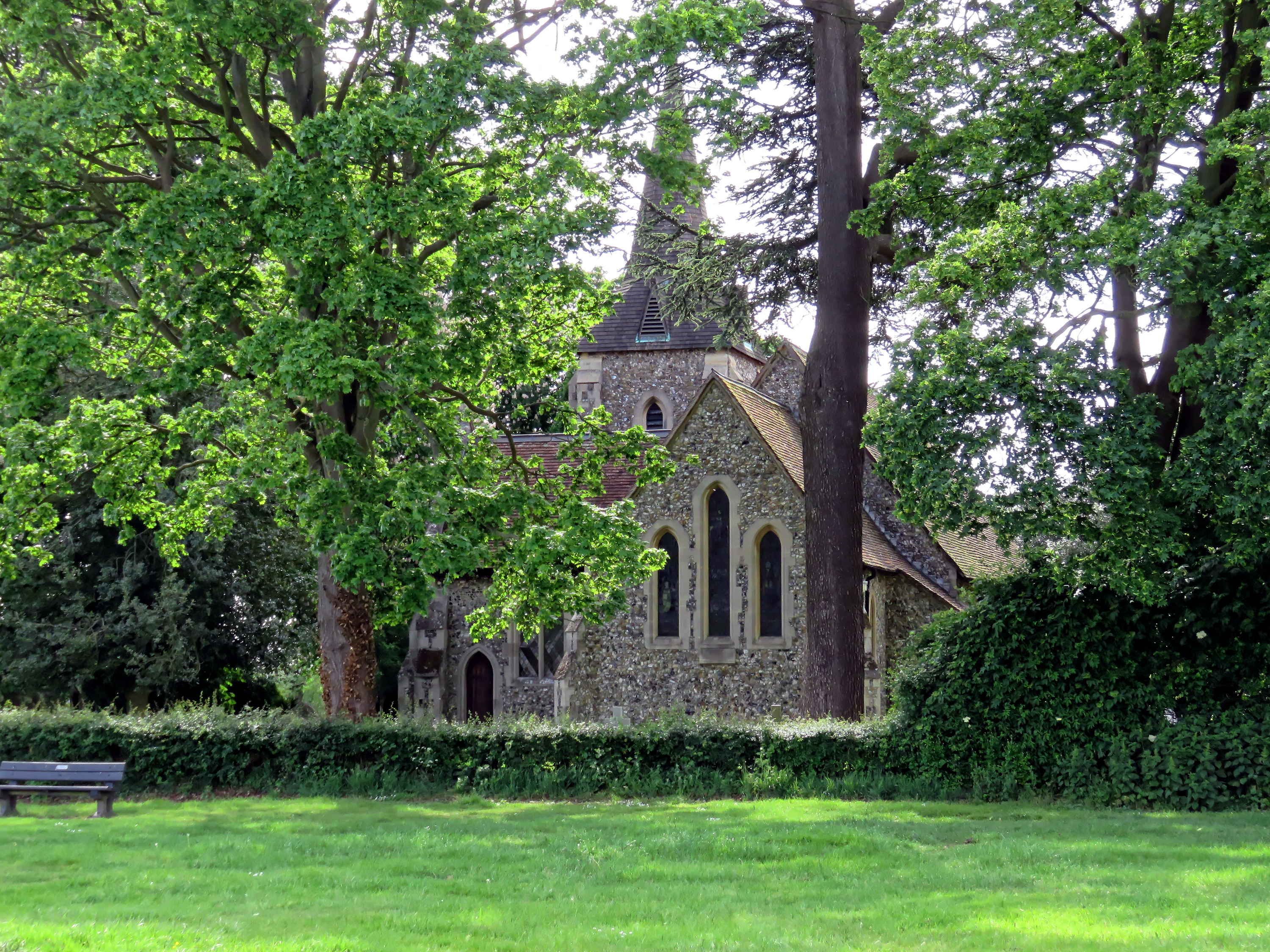
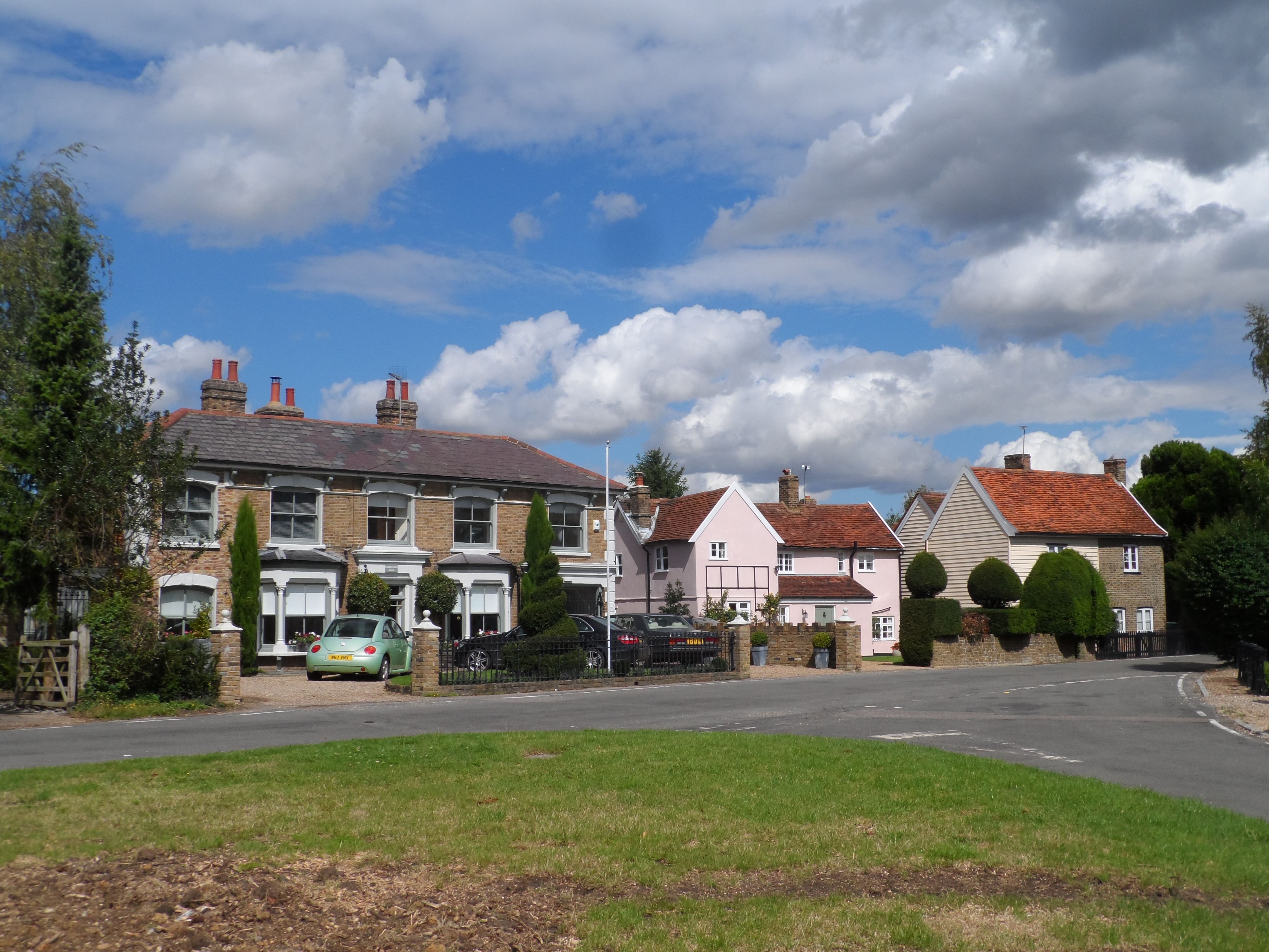
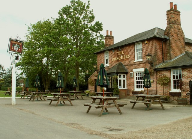
Downhall Wood Images

Images are sourced within 2km of 51.797811/0.2038991 or Grid Reference TL5213. Thanks to Geograph Open Source API. All images are credited.

Harlow Road Towards Newman's End and Sheering.
Harlow Road
Towards Newman's End and Sheering.
Footpath Matching 4 From Harlow Road.
Footpath Matching 4
From Harlow Road.
Field edge west of Harlow Road Along the hedge of the farm track used by footpath Matching 4.
Field edge west of Harlow Road
Along the hedge of the farm track used by footpath Matching 4.
Field entrance off Harlow Road
Tractor tracks in the wheat The well worn track looks as if it has been used for footpath Hatfield Heath 41,  but the mapped route is closer to the next pass to the right.
Tractor tracks in the wheat
The well worn track looks as if it has been used for footpath Hatfield Heath 41, but the mapped route is closer to the next pass to the right.
Field south of Church Road, Matching A field of oil seed rape.
Field south of Church Road, Matching
A field of oil seed rape.
Church Road meets Downhall Road, Matching
Church Green and oak, Matching
Marriage Feast Room, Matching Believed to be built 1480, with later alterations. A village hall then and now, although between times it has been a school and cottages. A grade II*(star) listed building.
Marriage Feast Room, Matching
Believed to be built 1480, with later alterations. A village hall then and now, although between times it has been a school and cottages. A grade II*(star) listed building.
Matching church The church of St. Mary the Virgin is a grade II*(star) listed building, oldest parts 13th century, but mostly later, the tower is 15th century.
Matching church
The church of St. Mary the Virgin is a grade II*(star) listed building, oldest parts 13th century, but mostly later, the tower is 15th century.
Marriage Feast Room, Matching Believed to be built 1480, with later alterations. A village hall then and now, although between times it has been a school and cottages. A grade II*(star) listed building.
Marriage Feast Room, Matching
Believed to be built 1480, with later alterations. A village hall then and now, although between times it has been a school and cottages. A grade II*(star) listed building.
Matching church - east end The church of St. Mary the Virgin is a grade II*(star) listed building, oldest parts 13th century, but mostly later.
Matching church - east end
The church of St. Mary the Virgin is a grade II*(star) listed building, oldest parts 13th century, but mostly later.
Pond bank and pump house, Matching
Church Road and Matching Pond The road passes over the dam, which appears to have settled a little.
Church Road and Matching Pond
The road passes over the dam, which appears to have settled a little.
Church Road, Matching Looking towards a right-angled bend where the lane starts to deviate around Matching Pond. Presumably the lane went straight on before the artificial pond was made in the 19th century, but there is no obvious trace unless there is something in the wood ahead.
Church Road, Matching
Looking towards a right-angled bend where the lane starts to deviate around Matching Pond. Presumably the lane went straight on before the artificial pond was made in the 19th century, but there is no obvious trace unless there is something in the wood ahead.
The White Horse, Hatfield Heath A grade II listed pub, early 17th century.
The White Horse, Hatfield Heath
A grade II listed pub, early 17th century.
The new Sheering Bridge Officially opened on 5th June 2013, three weeks before this view. The original abutments remain, but the new span is much larger, extending to new supports behind them. This is perhaps to give long term erosion protection to the new structural elements. Pincey Brook is crossed.
The new Sheering Bridge
Officially opened on 5th June 2013, three weeks before this view. The original abutments remain, but the new span is much larger, extending to new supports behind them. This is perhaps to give long term erosion protection to the new structural elements. Pincey Brook is crossed.
Show me another place!

Downhall Wood is located at Grid Ref: TL5213 (Lat: 51.797811, Lng: 0.2038991)

Administrative County: Essex

District: Uttlesford

Police Authority: Essex

What 3 Words

///value.gather.match. Near Hatfield Heath, Essex

Nearby Locations

Downhall Wood

Related Wikis

Down Hall

Down Hall is a Victorian country house and estate near Hatfield Heath in the English county of Essex, close to its border with Hertfordshire. It is surrounded...

Ardley End

Ardley End is a hamlet in the Uttlesford area of Essex, England. It is approximately half a mile from the village of Hatfield Heath.

Newman's End

Newman's End is a hamlet in the civil parish of Matching, and the Epping Forest district of Essex, England. The hamlet, at the north of the parish, is...

Matching, Essex

Matching is a village and civil parish in the Epping Forest district of Essex, England centred in countryside 3 miles (4.8 km) east of Harlow's modern...

Sheering

Sheering is a civil parish and village in the Epping Forest district of Essex, England. Sheering village is situated 2.8 miles (5 km) north-east from Harlow...

Hatfield Heath

Hatfield Heath is a village, civil parish, and an electoral ward in the Uttlesford district of Essex, England, and at its west is close to the border with...

Matching Tye

Matching Tye is a village which forms part of the civil parish of Matching, in the County of Essex, England. It is 2.3 miles (3.7 km) east of Harlow, 2...

Matching Green

Matching Green is a village and the largest settlement in the civil parish of Matching, in Essex, England. It is 3.0 miles (4.8 km) east of Harlow, 4.5...

Nearby Amenities

Located within 500m of 51.797811,0.2038991
Barrier: stile
Fixme: isolated node for stile - needs survey
Lat/Long: 51.7986259/0.2099345
Tourism: hotel
Lat/Long: 51.7957239/0.2064443
The data included in this document is from www.openstreetmap.org. The data is made available under ODbL.

Have you been to Downhall Wood?

Leave your review of Downhall Wood below (or comments, questions and feedback).