Brickyard Plantation
Wood, Forest in Essex Uttlesford
England
Brickyard Plantation
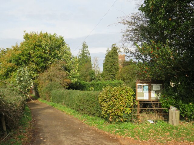
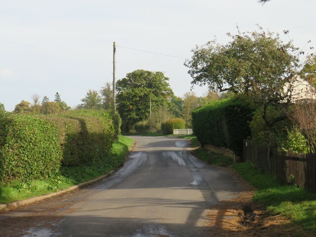
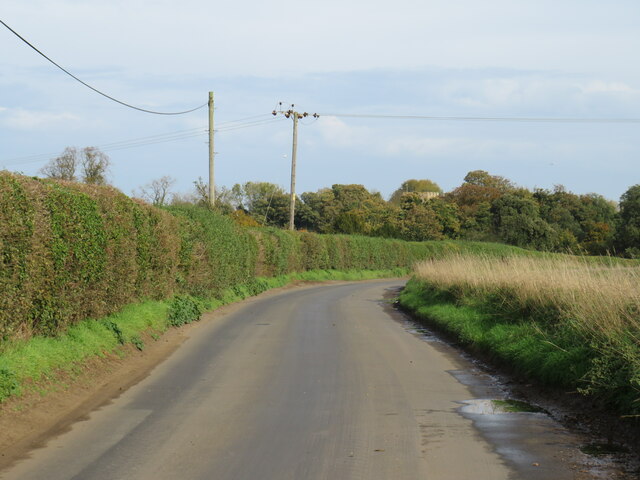
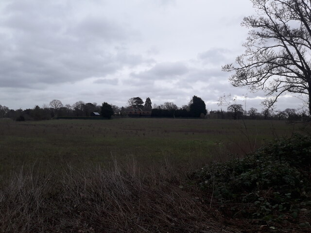
Brickyard Plantation, located in the county of Essex, is a vast woodland area known for its dense forests and scenic beauty. Spanning over several acres, this plantation is predominantly covered with a variety of trees, making it an ideal destination for nature enthusiasts and hikers alike.
The woodland area is named Brickyard Plantation due to the historical presence of a brick-making industry in the region during the 19th century. The remnants of the brickyard can still be seen, adding a touch of historical significance to the area.
The forest is home to a diverse range of flora and fauna, with numerous species of trees, including oak, beech, and pine, dominating the landscape. The dense canopy formed by these trees creates a tranquil and serene atmosphere, providing a haven for wildlife. Visitors may have the opportunity to spot various birds, mammals, and insects while exploring the trails within the plantation.
The woodland is crisscrossed by a network of hiking trails, allowing visitors to immerse themselves in the natural beauty of the area. These trails cater to individuals of all fitness levels, with options for short leisurely walks or longer, more challenging hikes. Along the trails, there are designated picnic spots and rest areas, providing a perfect opportunity to relax and enjoy the surroundings.
Brickyard Plantation is a popular destination for both locals and tourists seeking solace in nature. Its picturesque landscapes, historical significance, and abundant wildlife make it a must-visit location for anyone looking to reconnect with the natural world.
If you have any feedback on the listing, please let us know in the comments section below.
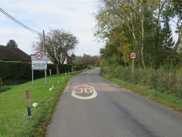
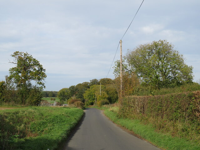
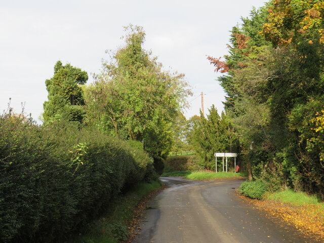
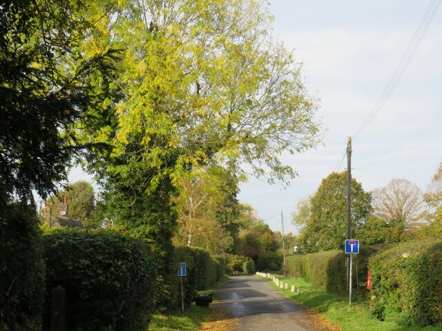
Brickyard Plantation Images
Images are sourced within 2km of 51.909476/0.20795231 or Grid Reference TL5125. Thanks to Geograph Open Source API. All images are credited.

Brickyard Plantation is located at Grid Ref: TL5125 (Lat: 51.909476, Lng: 0.20795231)
Administrative County: Essex
District: Uttlesford
Police Authority: Essex
What 3 Words
///puzzles.reflect.grips. Near Stansted Mountfitchet, Essex
Nearby Locations
Related Wikis

Aubrey Buxton Nature Reserve
Aubrey Buxton Nature Reserve is a 9.7-hectare (24-acre) nature reserve west of Elsenham in Essex. It was donated to the Essex Wildlife Trust by Aubrey...

Stansted Mountfitchet Castle
Stansted Mountfitchet Castle, also termed simply Mountfitchet Castle, is a Norman ringwork and bailey fortification in Stansted Mountfitchet, Essex, England...

Stansted F.C.
Stansted Football Club is an English football club based in Stansted Mountfitchet, Essex. The club are currently members of the Spartan South Midlands...
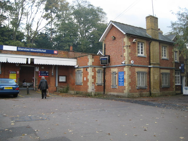
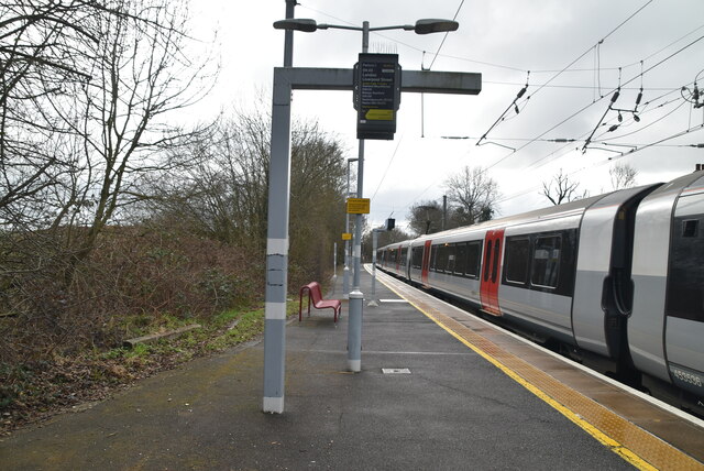
Stansted Mountfitchet railway station
Stansted Mountfitchet railway station is on the West Anglia Main Line serving the village of Stansted Mountfitchet in Essex, England. It is 33 miles 28...
Stansted Rural District
Stansted was a rural district in Essex, England from 1894 (1894) to 1934 (1934). It was created under the Local Government Act 1894 from the part of the...

Stansted Mountfitchet Windmill
Stansted Mountfitchet Windmill is a grade II* listed Tower mill at Stansted Mountfitchet, Essex, England which is also a Scheduled Ancient Monument. It...

Orford House
Orford House is a country house in the small medieval hamlet of Ugley, Essex, England. == History == The house was built for Edward Russell, who went on...
Stansted Hall
Stansted or Steanstead Hall is located in Stansted Mountfitchet, Essex, East of England, United Kingdom. It was the country seat of the Earls of Essex...
Nearby Amenities
Located within 500m of 51.909476,0.20795231Have you been to Brickyard Plantation?
Leave your review of Brickyard Plantation below (or comments, questions and feedback).