Dencher Wood

Wood, Forest in Sussex Wealden

England

Dencher Wood

B2192, Blackboys The B2192, runs 10 miles from Earwig Corner <a href="https://www.geograph.org.uk/photo/1838834">TQ4211 : Earwig Corner</a> on the A26 immediately northeast of Lewes as far as Blackboys, between Uckfield and Heathfield.
B2192, Blackboys Credit: N Chadwick

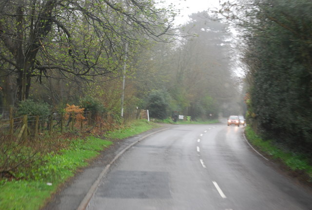
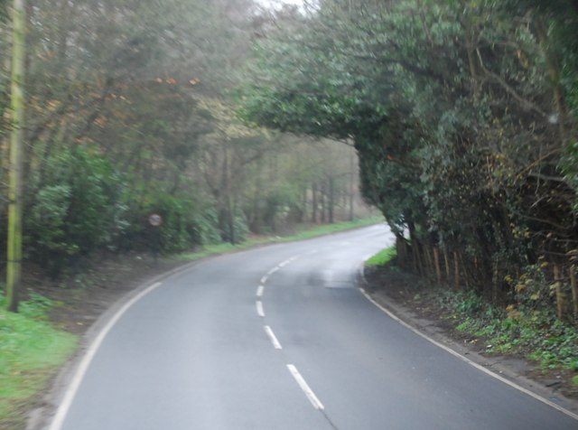
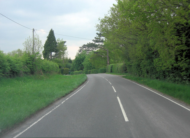
Dencher Wood, located in Sussex, is a picturesque woodland area that spans over an area of approximately 80 hectares. Situated in the High Weald Area of Outstanding Natural Beauty, the wood is a haven for nature enthusiasts and those seeking tranquility amidst the stunning surroundings.

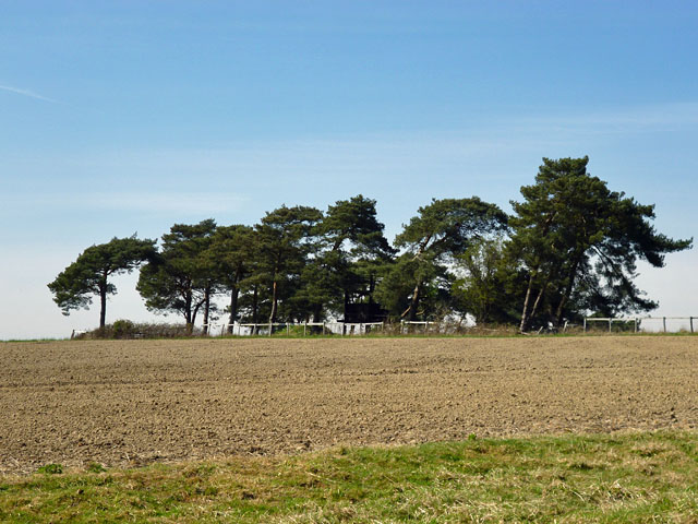
The woodland, primarily composed of mixed broadleaf trees, offers visitors a diverse range of flora and fauna. The canopy is dominated by oak, ash, and beech trees, providing a rich habitat for a variety of bird species such as woodpeckers, tawny owls, and nightingales. The forest floor is adorned with bluebells in the spring, creating a breathtaking carpet of vibrant colors.

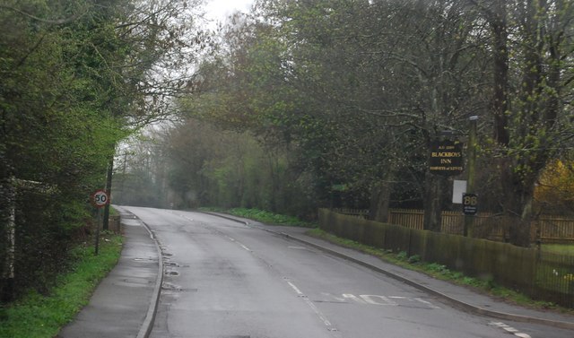
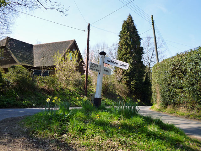
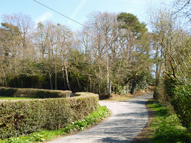
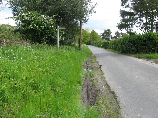
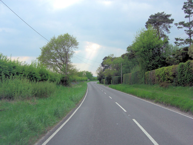
Dencher Wood is crisscrossed by a network of well-maintained footpaths and trails, allowing visitors to explore the wood and discover its hidden gems. The paths wind through ancient woodland, revealing ancient coppice areas and remnants of charcoal platforms, showcasing the area's historical significance.

In addition to its natural beauty, Dencher Wood offers recreational opportunities for all ages. Families can enjoy picnics in designated areas, while children can have fun on the wooden play structures scattered throughout the woodland. The wood also provides an ideal setting for wildlife spotting, photography, and peaceful walks.

Managed by the Sussex Wildlife Trust, Dencher Wood is open to the public year-round, providing a sanctuary for both wildlife and visitors to immerse themselves in the beauty of nature. Whether you are seeking solitude, adventure, or a connection with the natural world, Dencher Wood offers an idyllic setting to escape the hustle and bustle of everyday life.

If you have any feedback on the listing, please let us know in the comments section below.

Dencher Wood Images

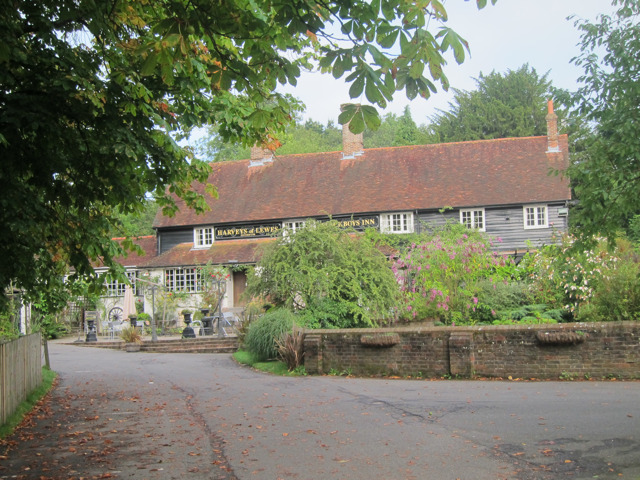
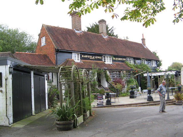
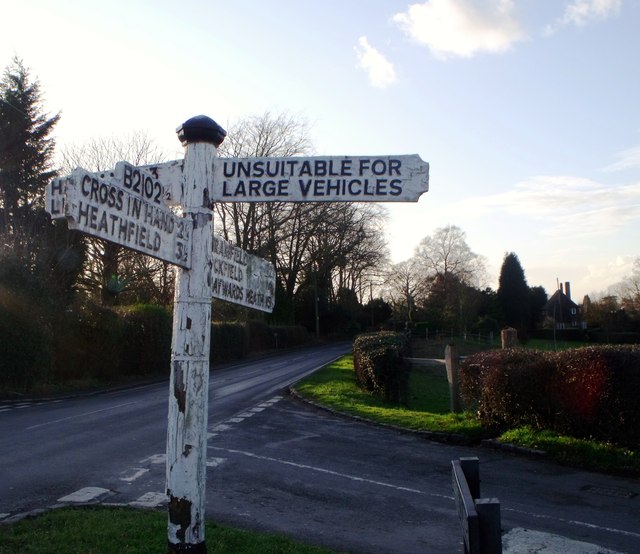
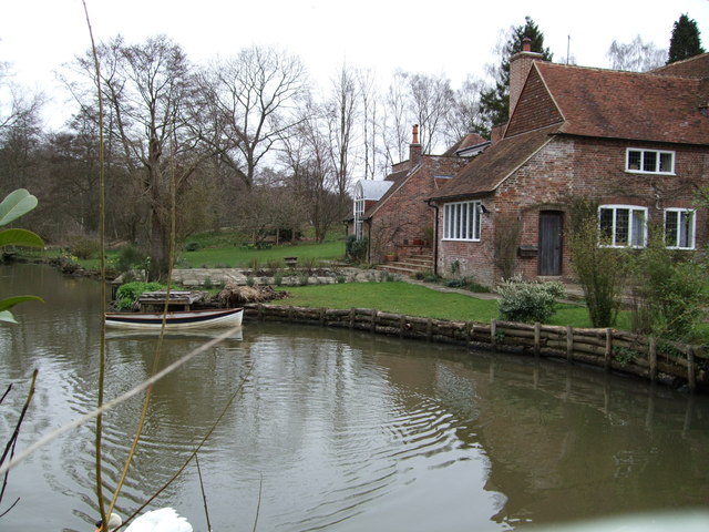
Images are sourced within 2km of 50.954152/0.1550431 or Grid Reference TQ5119. Thanks to Geograph Open Source API. All images are credited.

B2192, Blackboys The B2192, runs 10 miles from Earwig Corner <a href="https://www.geograph.org.uk/photo/1838834">TQ4211 : Earwig Corner</a> on the A26 immediately northeast of Lewes as far as Blackboys, between Uckfield and Heathfield.
B2192, Blackboys
The B2192, runs 10 miles from Earwig Corner TQ4211 : Earwig Corner on the A26 immediately northeast of Lewes as far as Blackboys, between Uckfield and Heathfield.
B2192 passes Blackboys Inn The B2192, runs 10 miles from Earwig Corner <a href="https://www.geograph.org.uk/photo/1838834">TQ4211 : Earwig Corner</a> on the A26 immediately northeast of Lewes as far as Blackboys, between Uckfield and Heathfield.
B2192 passes Blackboys Inn
The B2192, runs 10 miles from Earwig Corner TQ4211 : Earwig Corner on the A26 immediately northeast of Lewes as far as Blackboys, between Uckfield and Heathfield.
B2192 south west of Blackboys
Blackboys Inn sign Sign for <a href="https://www.geograph.org.uk/photo/2538940">TQ5220 : Blackboys Inn, Blackboys</a>, a Harveys of Lewes pub.
Blackboys Inn sign
Sign for TQ5220 : Blackboys Inn, Blackboys, a Harveys of Lewes pub.
Blackboys Inn, Blackboys A Harveys of Lewes pub.

Also see <a href="https://www.geograph.org.uk/photo/2538939">TQ5220 : Blackboys Inn sign</a>
Blackboys Inn, Blackboys
A Harveys of Lewes pub. Also see TQ5220 : Blackboys Inn sign
Blackboys Inn
Blackboys Inn
Signboard, Blackboys, East Sussex
Tickerage Mill, Blackboys, East  Sussex This was the home of the actress Vivien Leigh after her divorce from Sir Laurence Olivier.
Tickerage Mill, Blackboys, East Sussex
This was the home of the actress Vivien Leigh after her divorce from Sir Laurence Olivier.
Signpost on the triangle 'Narrow Lane' is not the name of the lane, which is Uptons Mill Lane, or its destination, but its character.
Signpost on the triangle
'Narrow Lane' is not the name of the lane, which is Uptons Mill Lane, or its destination, but its character.
Gatehouse Lane splits left and right The split is to effect a junction with Pound Lane. The trees ahead are on a triangle of land between the lanes.
Gatehouse Lane splits left and right
The split is to effect a junction with Pound Lane. The trees ahead are on a triangle of land between the lanes.
Garage, Blackboys One of the more expensive outlets for fuel, particularly for petrol at 146.9 p/l, with diesel at 148.9 p/l. It is closed on Good Friday.
Garage, Blackboys
One of the more expensive outlets for fuel, particularly for petrol at 146.9 p/l, with diesel at 148.9 p/l. It is closed on Good Friday.
Field corner trees Hidden among the trees is what seems to be a shooting platform.
Field corner trees
Hidden among the trees is what seems to be a shooting platform.
Wealdway waymarker on Stonebridge Lane
Blackboys Inn Dates back to 14th Century.
Blackboys Inn
Dates back to 14th Century.
B2102 crossroads in Blackboys To the left is School Lane and to the right Gun Road, whilst the photo is taken from the High Street.
B2102 crossroads in Blackboys
To the left is School Lane and to the right Gun Road, whilst the photo is taken from the High Street.
B2102 south of Tickerage Wood
B2102 south of Upper Greatfield Farm
White cottages near Blackboys The cottages could be described as 'Flemish style'.
White cottages near Blackboys
The cottages could be described as 'Flemish style'.
Show me another place!

Dencher Wood is located at Grid Ref: TQ5119 (Lat: 50.954152, Lng: 0.1550431)

Administrative County: East Sussex

District: Wealden

Police Authority: Sussex

What 3 Words

///nutty.lipstick.readjust. Near Buxted, East Sussex

Related Wikis

Framfield

Framfield is a village and civil parish in the Wealden District of East Sussex, England. The village is located two miles (3 km) east of Uckfield; the...

Etchingwood

Etchingwood is a small cluster of mostly detached properties and farms within the civil parish of Buxted in the Wealden district of East Sussex, England...

Vanguard Way

The Vanguard Way is a long-distance walk of 66.2 mi (106.5 km) from East Croydon station in outer London (OS grid reference TQ328658), travelling from...

Holy Cross Priory, Cross-in-Hand

Holy Cross Priory, Cross-in-Hand, is a priory of the Benedictine Sisters of Grace and Compassion which provides homes for the elderly. It was established...

Waldron Cutting

Waldron Cutting is a 0.2-hectare (0.49-acre) geological Site of Special Scientific Interest in East Sussex. It is a Geological Conservation Review site...

Roser's Cross

Roser's Cross is a village in the Wealden district of East Sussex.

Selwyns Wood

Selwyns Wood is a 11-hectare (27-acre) nature reserve west of Heathfield in Sussex. It is managed by the Sussex Wildlife Trust.This reserve has woodland...

East Hoathly with Halland

East Hoathly with Halland is a civil parish in the Wealden District of East Sussex, England. The parish contains the two villages of East Hoathly and...

Nearby Amenities

Located within 500m of 50.954152,0.1550431
Barrier: stile
Lat/Long: 50.9513283/0.1580788
The data included in this document is from www.openstreetmap.org. The data is made available under ODbL.

Have you been to Dencher Wood?

Leave your review of Dencher Wood below (or comments, questions and feedback).