Reynkyns Wood
Wood, Forest in Essex Epping Forest
England
Reynkyns Wood
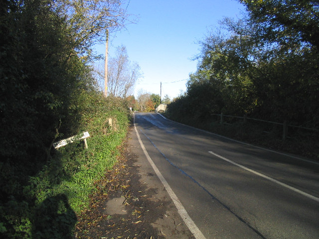
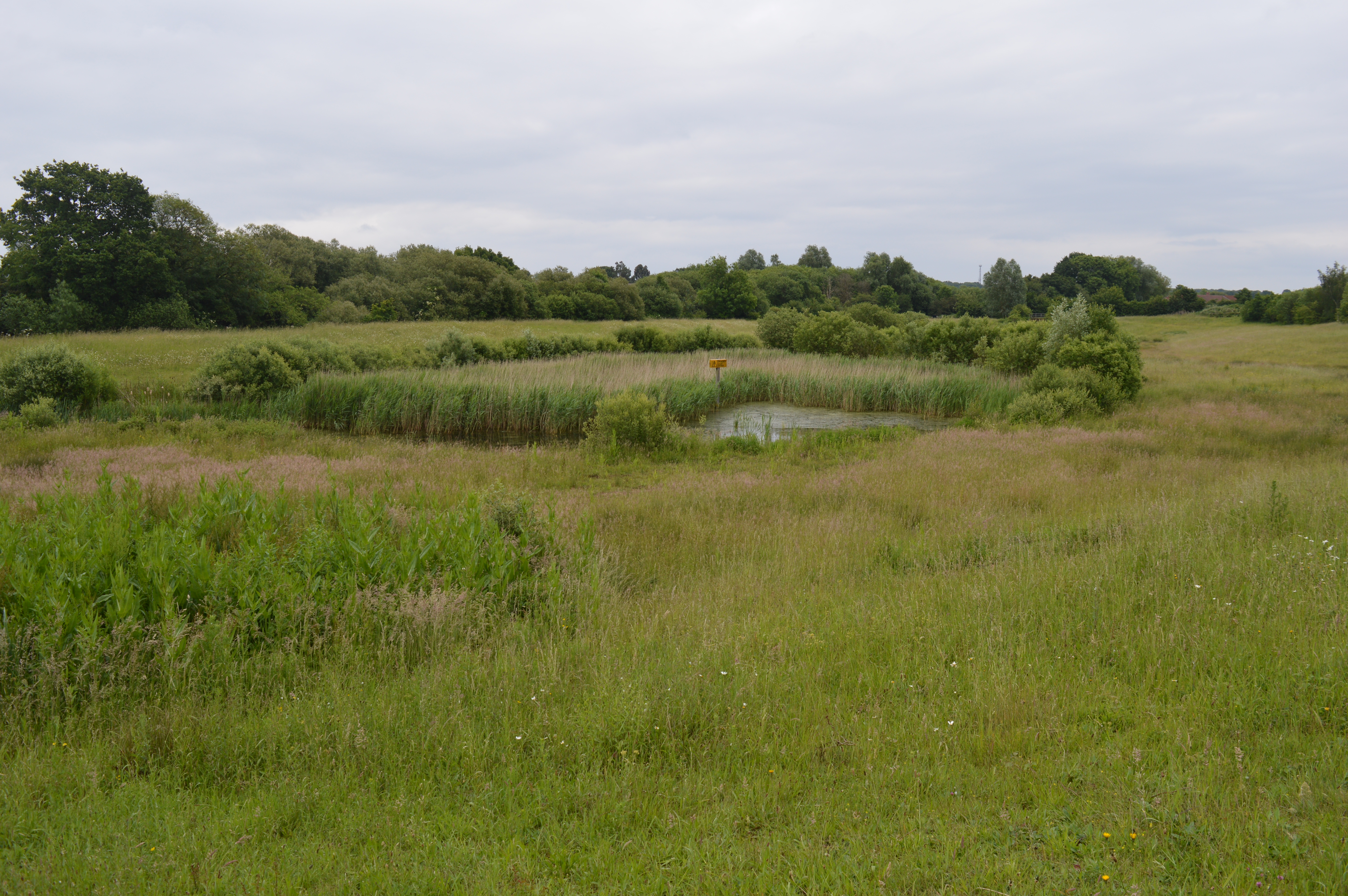
Reynkyns Wood is a picturesque woodland located in the county of Essex, England. Covering an area of approximately 20 acres, it is nestled within the larger Epping Forest, renowned for its natural beauty and rich biodiversity. The wood is named after Reynkyn de Montacute, a prominent landowner in the area during the medieval period.
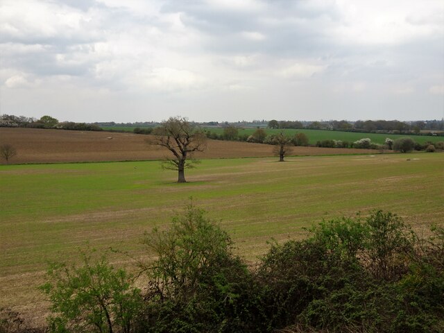
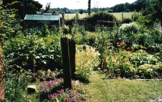
The woodland is predominantly composed of native English oak trees, interspersed with ash, birch, and beech trees. The dense canopy of foliage provides a sheltered habitat for a variety of wildlife, including birds, squirrels, foxes, and deer. The forest floor is carpeted with a diverse array of wildflowers, creating a vibrant and enchanting atmosphere.
Reynkyns Wood offers a tranquil escape from the hustle and bustle of urban life, attracting visitors who seek solace and a connection with nature. It is a popular destination for walkers, joggers, and nature enthusiasts, providing numerous footpaths and trails to explore. The wood is well-maintained and managed by the local authorities, ensuring its preservation for future generations to enjoy.
In addition to its natural beauty, Reynkyns Wood holds historical significance, with traces of ancient earthworks and archaeological remains dating back to the Iron Age. It is believed that the woodland was utilized by early settlers for hunting and gathering purposes.
Overall, Reynkyns Wood is a cherished natural gem in Essex, offering a peaceful haven and a glimpse into the region's rich history and biodiversity.
If you have any feedback on the listing, please let us know in the comments section below.
Reynkyns Wood Images
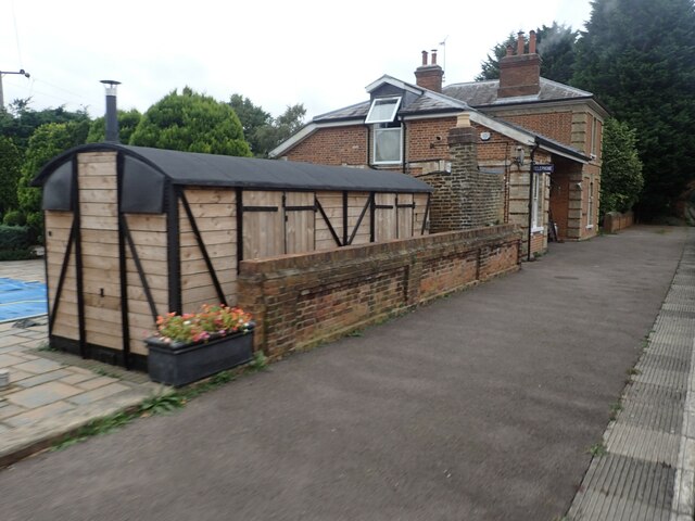
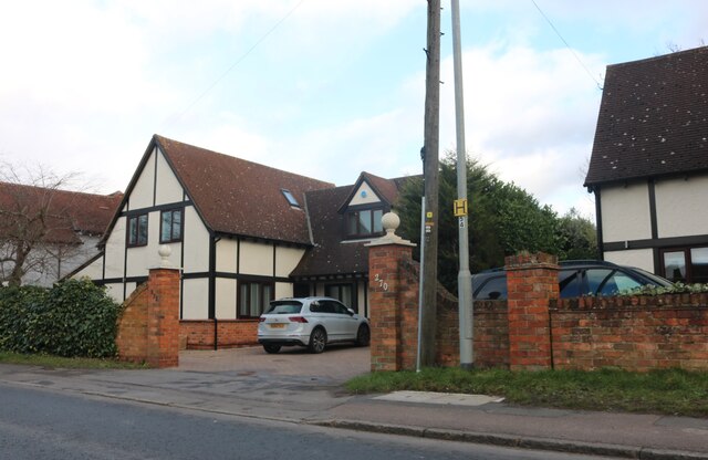
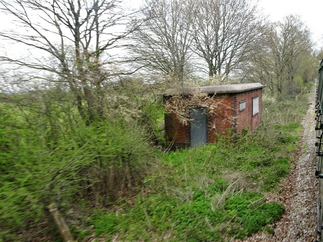
Images are sourced within 2km of 51.725835/0.18655306 or Grid Reference TL5105. Thanks to Geograph Open Source API. All images are credited.


Reynkyns Wood is located at Grid Ref: TL5105 (Lat: 51.725835, Lng: 0.18655306)
Administrative County: Essex
District: Epping Forest
Police Authority: Essex
What 3 Words
///stacks.dozed.puff. Near Chipping Ongar, Essex
Nearby Locations
Related Wikis

Bovinger
Bovinger is a village in Essex, England. == References ==
Dial House, Essex
Dial House is a farm cottage situated in south-west Essex, England that has been a self-sustaining anarcho-pacifist open house since 1967. The house is...
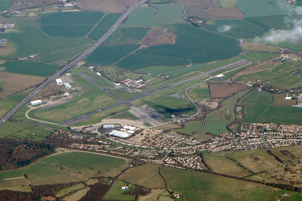
Epping Ongar Railway
The Epping Ongar Railway is a heritage railway in south-west Essex, England, run by a small number of paid staff and a team of volunteers. It was the final...
Hundred of Ongar
Hundred of Ongar was an ancient hundred in the west of the county of Essex, England. Hundred of Ongar was centred on the town of Chipping Ongar. Hundred...
North Weald Bassett
North Weald Bassett, or simply North Weald, is a village and civil parish in the Epping Forest district of Essex, England. The village is within the North...
Church Lane Flood Meadow
Church Lane Flood Meadow is a 3.3 hectare Local Nature Reserve in North Weald Bassett in Essex. It is owned and managed by Epping Forest District Council...
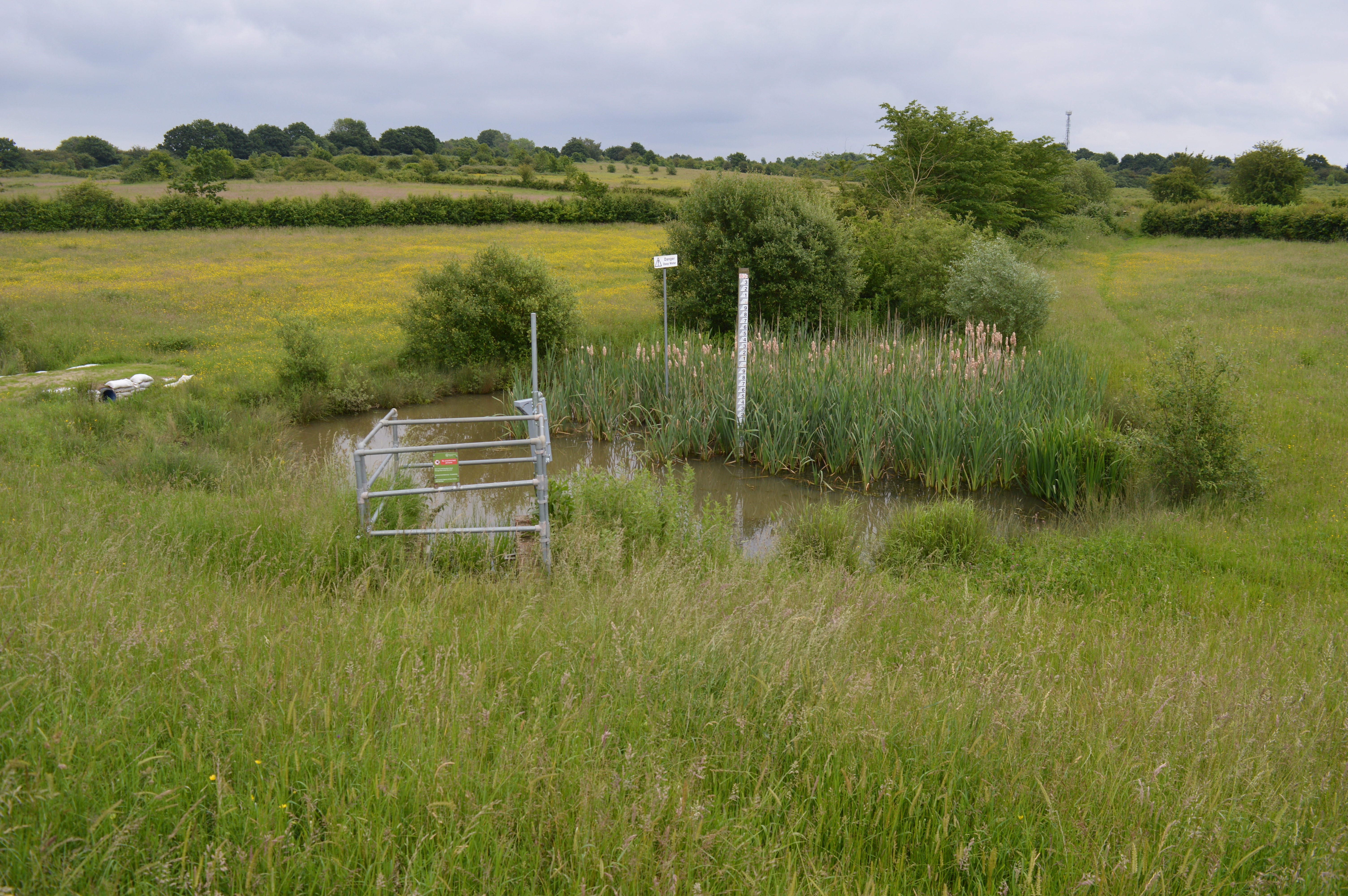
Weald Common Flood Meadows
Weald Common Flood Meadows is a 1.9 hectare Local Nature Reserve in North Weald Bassett in Essex. It is owned and managed by Epping Forest District Council...

Blake Hall tube station
Blake Hall is a disused former station on the London Underground in the civil parish of Stanford Rivers, and south from the village of Bobbingworth in...
Nearby Amenities
Located within 500m of 51.725835,0.18655306Have you been to Reynkyns Wood?
Leave your review of Reynkyns Wood below (or comments, questions and feedback).