Farleigh Hungerford

Settlement in Somerset Mendip

England

Farleigh Hungerford

St Leonard's Church, Farleigh Hungerford
St Leonard's Church, Farleigh Hungerford Credit: David Martin

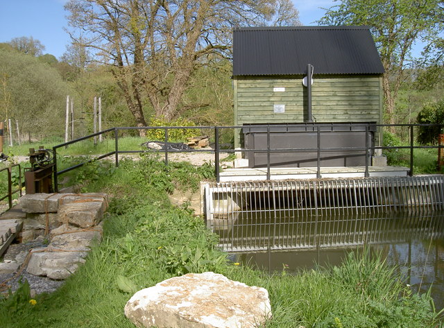
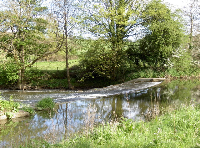
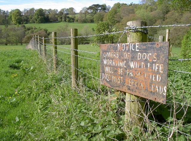
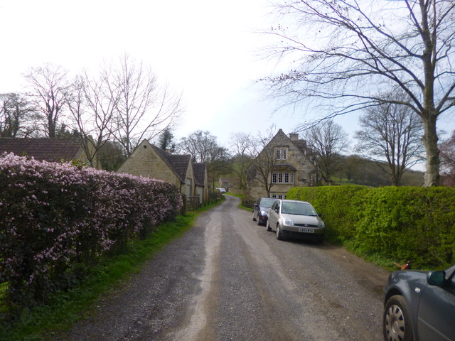
Farleigh Hungerford is a small village located in Somerset, England. Situated on the banks of the River Frome, it is surrounded by picturesque countryside and is known for its historical significance. The village is part of the larger civil parish of Norton St Philip.

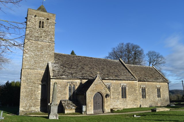
One of the main attractions in Farleigh Hungerford is Farleigh Hungerford Castle. This medieval fortress dates back to the 14th century and is a Grade I listed building. It was once a grand residence and played a significant role in English history. Visitors can explore the castle ruins, including the chapel, towers, and the crypt, which houses a collection of medieval lead coffins.

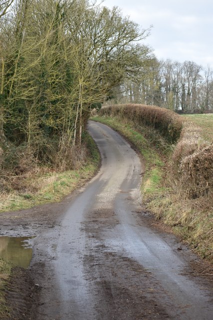
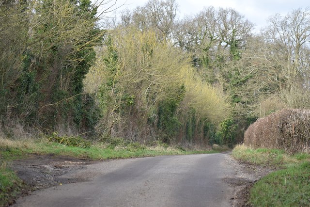
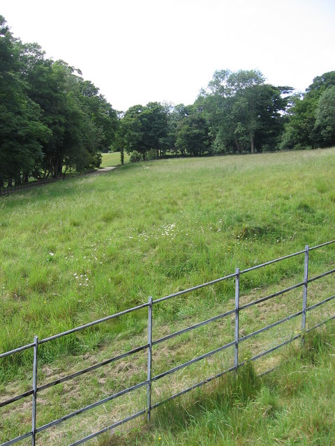
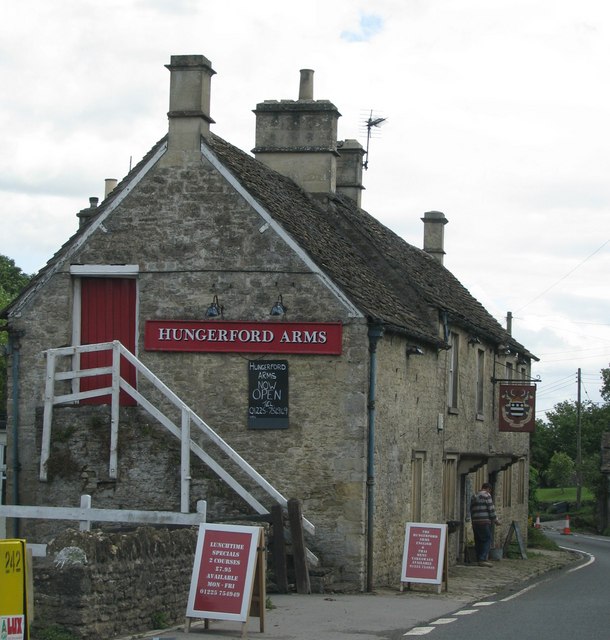
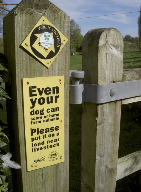
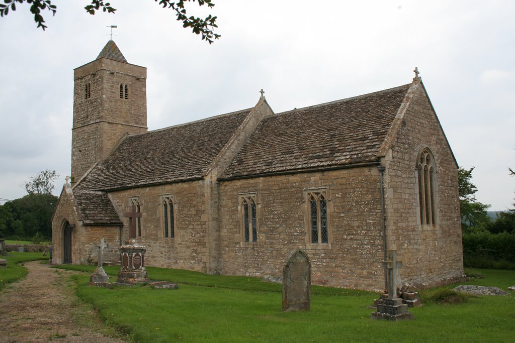
The village itself is quaint and charming, with traditional stone cottages lining the narrow streets. There is a small primary school, a village hall, and a local pub, which serves as a social hub for residents and visitors alike. The surrounding countryside offers ample opportunities for outdoor activities such as walking, cycling, and fishing.

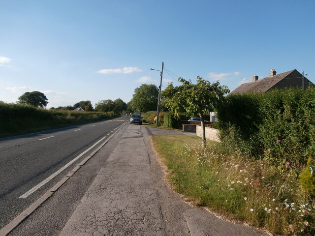
Farleigh Hungerford has a close-knit community that hosts various events throughout the year, including a summer fete and a Christmas market. The village is well-connected, with good transport links to nearby towns and cities. Bath, a UNESCO World Heritage Site, is approximately 10 miles away, offering additional amenities and attractions.

Overall, Farleigh Hungerford is a charming village with a rich history, providing visitors with a glimpse into the past while offering a peaceful and picturesque setting for residents and tourists to enjoy.

If you have any feedback on the listing, please let us know in the comments section below.

Farleigh Hungerford Images

Images are sourced within 2km of 51.316849/-2.280635 or Grid Reference ST8057. Thanks to Geograph Open Source API. All images are credited.

St Leonard's Church, Farleigh Hungerford
Hunting Lodge on the edge of Farleigh Park
Lane from Tellisford to Farleigh Hungerford
Lane northwards from Tellisford Church
Lane from Tellisford to Farleigh Hungerford
The end of the grounds at Iford Manor This fence, which lies just beyond the orchard, is as far as visitors can go.
The end of the grounds at Iford Manor
This fence, which lies just beyond the orchard, is as far as visitors can go.
The Hungerford Arms
The Hungerford Arms
Lane heading north near Farleigh Wood
Eye test or responsibility test? The warning sign on a footpath gate might grab the attention with the differing font size. At least someone has put a 'Macmillan Way' sticker on it as well to emphasise its status.
Eye test or responsibility test?
The warning sign on a footpath gate might grab the attention with the differing font size. At least someone has put a 'Macmillan Way' sticker on it as well to emphasise its status.
Green power The River Frome was altered over 100 years ago to provide means to run a mill. The weir is still there (see <a href="https://www.geograph.org.uk/photo/3459579">ST7958 : Frome weir</a>) but the mill has since gone; however, a new form of power is being used today. This unimposing station houses an Archimedes Screw turbine that can generate up to 44kW, and an annual output of 149MWh. It appears to be up and running again after suffering bearing failure recently.
Green power
The River Frome was altered over 100 years ago to provide means to run a mill. The weir is still there (see ST7958 : Frome weir) but the mill has since gone; however, a new form of power is being used today. This unimposing station houses an Archimedes Screw turbine that can generate up to 44kW, and an annual output of 149MWh. It appears to be up and running again after suffering bearing failure recently.
Frome weir The man-made weir remains after over a century.
Frome weir
The man-made weir remains after over a century.
Warning shot A home-made but important notice to users of the footpath through Friary Wood and on to Sharpstone.
Warning shot
A home-made but important notice to users of the footpath through Friary Wood and on to Sharpstone.
Iford hamlet A handful of cottages and houses overlooking <a href="https://www.geograph.org.uk/photo/3907834">ST8058 : Iford Manor</a>.
Iford hamlet
A handful of cottages and houses overlooking ST8058 : Iford Manor.
Pomeroy Lane Leading to Matthews Farm and Pomeroy Farm.  On this midsummer evening the lane was alive with wildlife, including numerous swallows.
Pomeroy Lane
Leading to Matthews Farm and Pomeroy Farm. On this midsummer evening the lane was alive with wildlife, including numerous swallows.
Belle Coeur Farm A rather fanciful name for one of the three farms reached by Pomeroy Lane, carefully painted on the gatepost.  And grammatically odd, because 'coeur' is a masculine noun but 'belle' is a feminine form.  The cattle grid on the left leads to the farmhouse; further farm buildings can be seen in the centre of the photo.
Belle Coeur Farm
A rather fanciful name for one of the three farms reached by Pomeroy Lane, carefully painted on the gatepost. And grammatically odd, because 'coeur' is a masculine noun but 'belle' is a feminine form. The cattle grid on the left leads to the farmhouse; further farm buildings can be seen in the centre of the photo.
Frome Road The road (B3109) leading north out of Wingfield towards a crossing, controlled by traffic lights, where one chooses whether to go to Farleigh Hungerford, Trowbridge or Bradford-on-Avon.  The pavement continues south into the village.
Frome Road
The road (B3109) leading north out of Wingfield towards a crossing, controlled by traffic lights, where one chooses whether to go to Farleigh Hungerford, Trowbridge or Bradford-on-Avon. The pavement continues south into the village.
B3109 Frome Road nearing Wingfield Towards Bradford-on-Avon.
B3109 Frome Road nearing Wingfield
Towards Bradford-on-Avon.
B3109 Bradford Road nearing A366 crossroads Towards Bradford-on-Avon.
B3109 Bradford Road nearing A366 crossroads
Towards Bradford-on-Avon.
Show me another place!

Farleigh Hungerford is located at Grid Ref: ST8057 (Lat: 51.316849, Lng: -2.280635)

Administrative County: Somerset

District: Mendip

Police Authority: Avon and Somerset

What 3 Words

///scan.pens.flight. Near Wingfield, Wiltshire

Nearby Locations

Farleigh Hungerford

Related Wikis

Farleigh Hungerford Castle

Farleigh Hungerford Castle, sometimes called Farleigh Castle or Farley Castle, is a medieval castle in Farleigh Hungerford, Somerset, England. The castle...

Farleigh Hungerford

Farleigh Hungerford (grid reference ST800576) is a village and former civil parish, now in the parish of Norton St Philip, in the Somerset district, in...

Farleigh House

Farleigh House, or Farleigh Castle, sometimes called Farleigh New Castle, is a large English country house in the county of Somerset, formerly the centre...

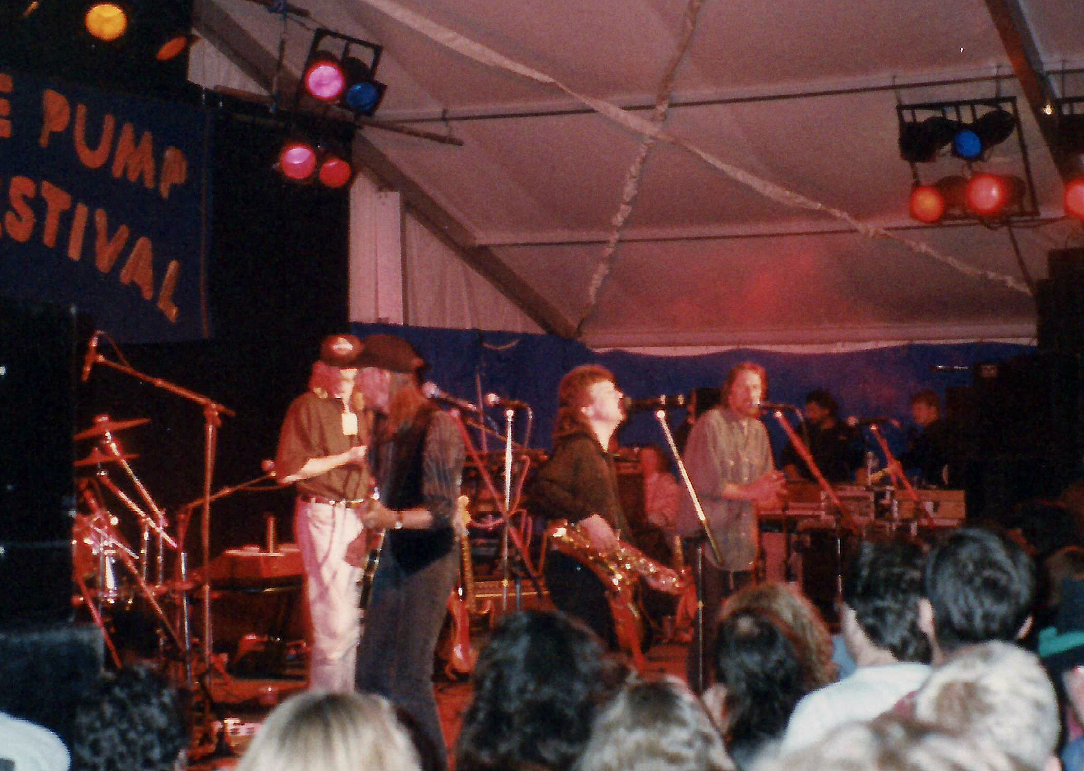
Trowbridge Village Pump Festival

The Village Pump Festival is a folk music festival that takes place near Trowbridge, England. It has its roots 54 years ago in a barn at the Lamb Inn...

Nearby Amenities

Located within 500m of 51.316849,-2.280635
Farleigh Hungerford
Place: village
Wikidata: Q5435406
Lat/Long: 51.3159595/-2.2872878
Traffic Calming: bump
Lat/Long: 51.317163/-2.2867066
Traffic Calming: bump
Lat/Long: 51.3171521/-2.2864236
Bench
Backrest: yes
Material: wood
Seats: 4
Lat/Long: 51.3174411/-2.2868252
Traffic Calming: bump
Lat/Long: 51.317197/-2.2872252
Bench
Backrest: yes
Material: wood
Seats: 4
Lat/Long: 51.3179149/-2.2872017
Bench
Backrest: yes
Material: wood
Seats: 4
Lat/Long: 51.3175184/-2.2868872
Traffic Calming: bump
Lat/Long: 51.3171785/-2.2870049
Post Box
Lat/Long: 51.3174858/-2.2839092
Traffic Calming: bump
Lat/Long: 51.3170701/-2.286239
Covered: no
Leisure: picnic_table
Material: wood
Lat/Long: 51.3170888/-2.2866839
Covered: no
Leisure: picnic_table
Material: wood
Lat/Long: 51.3171013/-2.2865569
Covered: no
Leisure: picnic_table
Material: wood
Lat/Long: 51.3172246/-2.2865756
Building: bunker
Bunker Type: pillbox
Military: bunker
Lat/Long: 51.3178373/-2.2740164
The data included in this document is from www.openstreetmap.org. The data is made available under ODbL.

Have you been to Farleigh Hungerford?

Leave your review of Farleigh Hungerford below (or comments, questions and feedback).