Bowen Wood

Wood, Forest in Sussex Wealden

England

Bowen Wood

Stone Mason's Yard at Lower Vert Wood Site of the old sawmill for the Vert Wood complex, one of the largest ancient woodlands in the county, and an important site for butterflies and moths.
Stone Mason's Yard at Lower Vert Wood Credit: David Saunders

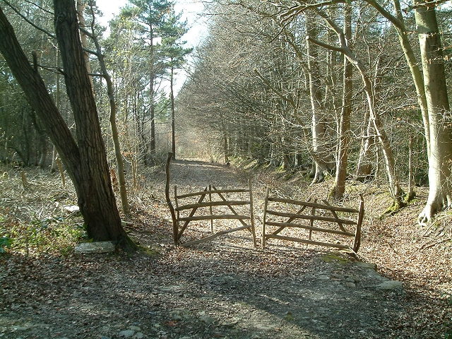
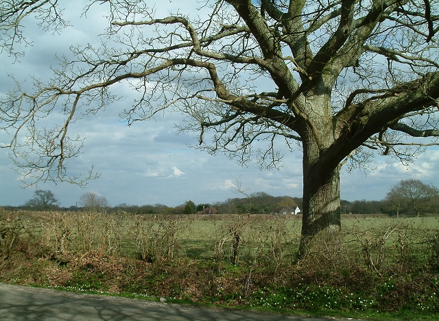
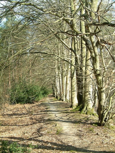
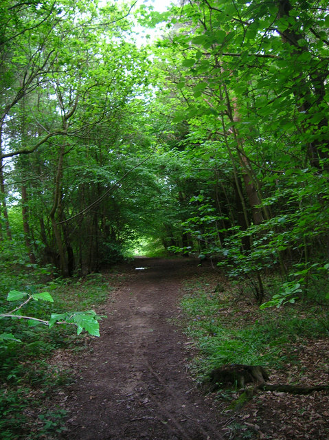
Bowen Wood is a beautiful forest located in Sussex, England. Covering an area of approximately 100 acres, the wood is home to a diverse range of flora and fauna, making it a popular destination for nature lovers and hikers.

The woodland is predominantly made up of native species such as oak, beech, and birch trees, creating a lush and vibrant ecosystem. Visitors to Bowen Wood can expect to see a variety of wildlife, including deer, squirrels, and a wide array of bird species.

Trails wind through the forest, allowing visitors to explore the woodland at their own pace. The tranquil atmosphere of Bowen Wood makes it an ideal spot for a peaceful walk or a relaxing picnic.

In addition to its natural beauty, Bowen Wood also has historical significance, with evidence of ancient settlements and archaeological sites scattered throughout the forest. This adds an extra layer of intrigue for those interested in the area's past.

Overall, Bowen Wood is a stunning natural oasis in Sussex, offering a peaceful retreat for anyone looking to escape the hustle and bustle of everyday life.

If you have any feedback on the listing, please let us know in the comments section below.

Bowen Wood Images

Images are sourced within 2km of 50.896666/0.14620168 or Grid Reference TQ5112. Thanks to Geograph Open Source API. All images are credited.

Stone Mason's Yard at Lower Vert Wood Site of the old sawmill for the Vert Wood complex, one of the largest ancient woodlands in the county, and an important site for butterflies and moths.
Stone Mason's Yard at Lower Vert Wood
Site of the old sawmill for the Vert Wood complex, one of the largest ancient woodlands in the county, and an important site for butterflies and moths.
Woodbank at Rowlands Wood This historic wooded bank, with many mature beech and hornbeam trees forms the southern boundary of Rowlands Wood, and also bounds the site of the Butterfly Conservation Nature Reserve where traditional coppicing and heathland management takes place.
Woodbank at Rowlands Wood
This historic wooded bank, with many mature beech and hornbeam trees forms the southern boundary of Rowlands Wood, and also bounds the site of the Butterfly Conservation Nature Reserve where traditional coppicing and heathland management takes place.
Hedgerow Oak at Whitesmith Low Weald landscape looking towards Randall's Farm, with Chiddingly Church in the distance.
Hedgerow Oak at Whitesmith
Low Weald landscape looking towards Randall's Farm, with Chiddingly Church in the distance.
Stone Cross Farm Sussex Farmhouse at cross roads near Laughton.  Typical timber finger post marks the directions.
Stone Cross Farm
Sussex Farmhouse at cross roads near Laughton. Typical timber finger post marks the directions.
Line of Trees on historic Boundary bank Old Beech and Hornbeam trees on woodbank at Rowlands Wood, Park Corner.
Line of Trees on historic Boundary bank
Old Beech and Hornbeam trees on woodbank at Rowlands Wood, Park Corner.
Little Stream Farm near Ripe The brightest thing I saw today. The front and left hand side are all painted in this very bright blue. Taken from Mill Lane.
Little Stream Farm near Ripe
The brightest thing I saw today. The front and left hand side are all painted in this very bright blue. Taken from Mill Lane.
Deanland Airfield Constructed in the spring of 1943 as an advanced airfield landing ground to help the D Day landings. It closed down after the war and was reactivated in 1963 by a local farmer as a landing strip for his own planes. From that point it grew as more people wished to have a base for their planes.
Deanland Airfield
Constructed in the spring of 1943 as an advanced airfield landing ground to help the D Day landings. It closed down after the war and was reactivated in 1963 by a local farmer as a landing strip for his own planes. From that point it grew as more people wished to have a base for their planes.
Pond, near Veals Farm A private angling pond next to the bridleway that links Ripe Lane with Broomhams. The building belongs to Deanland Airfield.
Pond, near Veals Farm
A private angling pond next to the bridleway that links Ripe Lane with Broomhams. The building belongs to Deanland Airfield.
Bridleway, Eleven Acre Wood This narrow and muddy path links Ripe Lane with Broomham.
Bridleway, Eleven Acre Wood
This narrow and muddy path links Ripe Lane with Broomham.
Laughton Community Primary School Small Victorian village school still going strong.
Laughton Community Primary School
Small Victorian village school still going strong.
Laughton Village Stores On the junction of the B2124 Lewes Road and Pound Lane.
Laughton Village Stores
On the junction of the B2124 Lewes Road and Pound Lane.
Laughton Common Wood Taken from Pound Lane track.
Laughton Common Wood
Taken from Pound Lane track.
Communications Mast near Laughton The building is Walls Farm. Taken from the track that links Laughton Common with Whitesmith.
Communications Mast near Laughton
The building is Walls Farm. Taken from the track that links Laughton Common with Whitesmith.
Milepost, A22, Whitesmith 50 miles to the Bow Bells. See also <a href="https://www.geograph.org.uk/photo/263455">TQ5216 : Mile marker East Hoathly</a>
Milepost, A22, Whitesmith
50 miles to the Bow Bells. See also TQ5216 : Mile marker East Hoathly
The White House, Whitesmith On the junction of Whitesmith Lane and the A22. The village bus stop is on the island at the junction.
The White House, Whitesmith
On the junction of Whitesmith Lane and the A22. The village bus stop is on the island at the junction.
Cleaver's Farm, near Ripe
All Saints Church, Laughton Laughton Church is about a mile south of the village. It was the parish church for the Pelham Family and the Pelham creast, the buckle, decorates the tower.
All Saints Church, Laughton
Laughton Church is about a mile south of the village. It was the parish church for the Pelham Family and the Pelham creast, the buckle, decorates the tower.
All Saints Church, Laughton The church has an uncluttered interior with few memorials. Note the Royal Arms for George III and the two helmets (Funeral Helms) in front of the chancel arch. The chancel is off set to the nave of the church and could indicated the angle of Christ's head on the cross.
All Saints Church, Laughton
The church has an uncluttered interior with few memorials. Note the Royal Arms for George III and the two helmets (Funeral Helms) in front of the chancel arch. The chancel is off set to the nave of the church and could indicated the angle of Christ's head on the cross.
Show me another place!

Bowen Wood is located at Grid Ref: TQ5112 (Lat: 50.896666, Lng: 0.14620168)

Administrative County: East Sussex

District: Wealden

Police Authority: Sussex

What 3 Words

///topping.passport.broached. Near Ringmer, East Sussex

Nearby Locations

Bowen Wood

Related Wikis

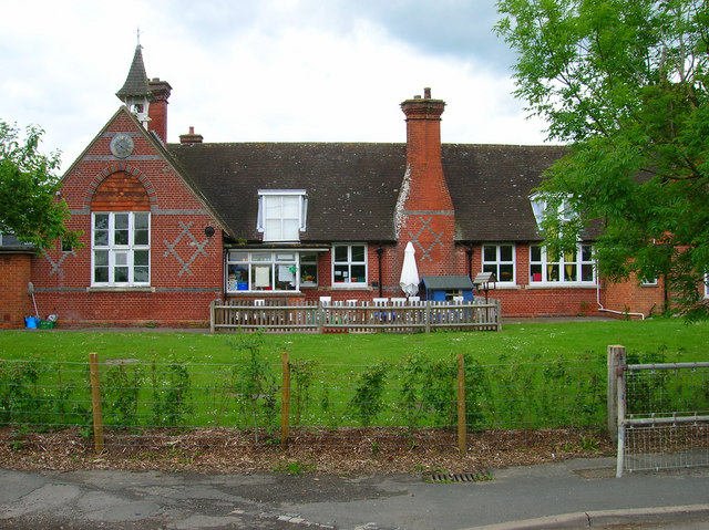
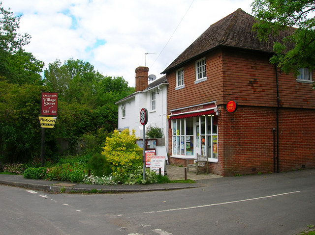
Laughton, East Sussex

Laughton is a village and civil parish in the Wealden district of East Sussex, England. The village is located five miles (8 km) east of Lewes, at a junction...
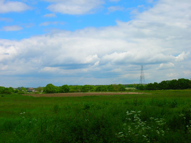
Park Corner Heath

Park Corner Heath is a 2.9-hectare (7.2-acre) biological Site of Special Scientific Interest about 1.2 miles (2 km) south of East Hoathly, adjacent to...

RAF Deanland

RAF Deanland is a former Royal Air Force advanced landing ground located 4 miles (6.4 km) west of Hailsham, East Sussex and 13.4 miles (21.6 km) north...

Whitesmith maze

A plantation of willows near Whitesmith, East Sussex, in England forms a maze in the shape of a quotation from the Bible. The maze was planted by local...

Nearby Amenities

Located within 500m of 50.896666,0.14620168
The data included in this document is from www.openstreetmap.org. The data is made available under ODbL.

Have you been to Bowen Wood?

Leave your review of Bowen Wood below (or comments, questions and feedback).