Aston Cantlow
Settlement in Warwickshire Stratford-on-Avon
England
Aston Cantlow

Aston Cantlow is a small village located in the county of Warwickshire, England. It is situated along the River Alne, about 6 miles west of the town of Henley-in-Arden. With a population of around 1,000 residents, Aston Cantlow is known for its picturesque countryside and charming rural atmosphere.
The village has a rich history that dates back to the Saxon period. It was mentioned in the Domesday Book of 1086 as "Estone," and later became known as Aston Cantlow. The name "Cantlow" is believed to have originated from the Cantelupe family, who were prominent landowners in the area during the medieval period.
One of the village's notable landmarks is the Church of St. John the Baptist, which dates back to the 13th century. This historic church features stunning architectural details, including a medieval tower and stained glass windows. Aston Cantlow also has several timber-framed houses that showcase the traditional English architecture of the region.
The village offers a range of amenities to its residents, including a primary school, a village hall, and a local pub. It is surrounded by beautiful countryside, making it a popular destination for walkers and nature lovers. The nearby River Alne provides opportunities for fishing and boating.
Aston Cantlow is well-connected to other towns and cities in Warwickshire, with good transport links via road and rail. The village's peaceful and idyllic setting, combined with its historical charm, makes it a desirable place to live or visit for those seeking a slower pace of life in the heart of rural England.
If you have any feedback on the listing, please let us know in the comments section below.
Aston Cantlow Images
Images are sourced within 2km of 52.237498/-1.798349 or Grid Reference SP1359. Thanks to Geograph Open Source API. All images are credited.


Aston Cantlow is located at Grid Ref: SP1359 (Lat: 52.237498, Lng: -1.798349)
Administrative County: Warwickshire
District: Stratford-on-Avon
Police Authority: Warwickshire
What 3 Words
///keep.scrub.crouches. Near Wilmcote, Warwickshire
Nearby Locations
Related Wikis

Aston Cantlow
Aston Cantlow is a village in Warwickshire, England, on the River Alne 5 miles (8.0 km) north-west of Stratford-upon-Avon and 2 miles (3.2 km) north-west...

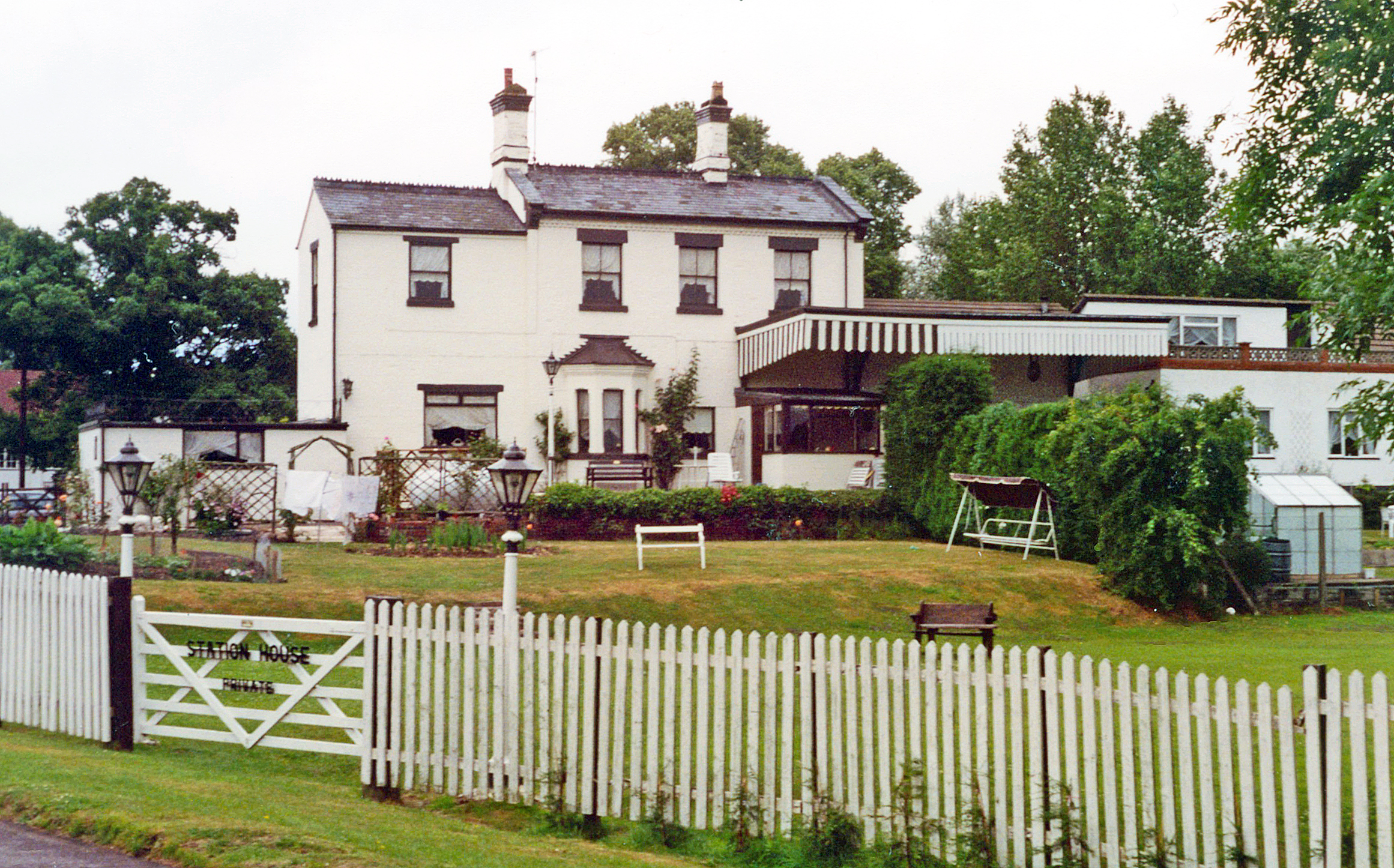
Aston Cantlow Halt railway station
Aston Cantlow Halt railway station is a disused railway station half a mile north of the village of Aston Cantlow, Warwickshire, England. The platform...

Great Alne
Great Alne is a small village in Warwickshire, England, 7 miles (11 km) north-west of Stratford-upon-Avon, 3 miles (4.8 km) north-east of Alcester and...

Kinwarton
Kinwarton is a village in the valley of the River Alne, Warwickshire, to the north-east of the market town of Alcester. The population of the civil parish...
Walcote, Warwickshire
Walcote is a small village in Warwickshire, England, one mile south of the Ancient Roman market town of Alcester. It consists of just seventeen dwellings...
Great Alne railway station
Great Alne Railway Station was a station in the village of Great Alne in Warwickshire on the Great Western Railway line from Alcester, Warwickshire to...

Edstone Aqueduct
Edstone Aqueduct is one of three aqueducts on a 4 miles (6 km) length of the Stratford-upon-Avon Canal in Warwickshire. All are unusual in that the towpaths...
Haselor
Haselor is a village in Warwickshire. It is by the River Alne, about one mile east of Alcester just off the A46 main road to Stratford-upon-Avon. The...
Nearby Amenities
Located within 500m of 52.237498,-1.798349Have you been to Aston Cantlow?
Leave your review of Aston Cantlow below (or comments, questions and feedback).