Hinxton Belt
Wood, Forest in Cambridgeshire South Cambridgeshire
England
Hinxton Belt
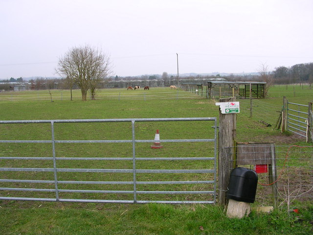
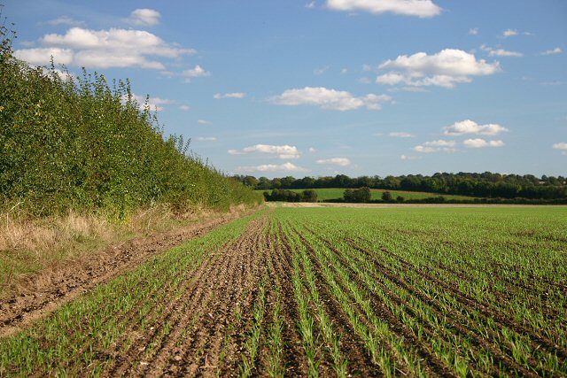
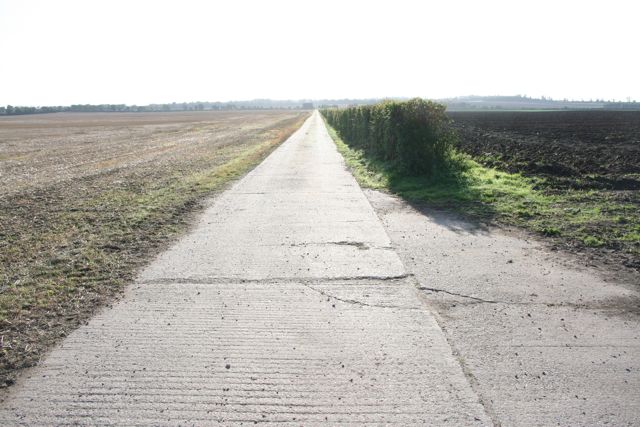
Hinxton Belt is a picturesque wood located in Cambridgeshire, England. Covering an area of approximately 44 hectares, it is part of a larger forested area known as Hinxton Woods. The wood is situated near the village of Hinxton, which is about 9 miles south of the city of Cambridge.
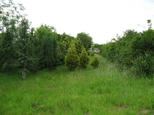
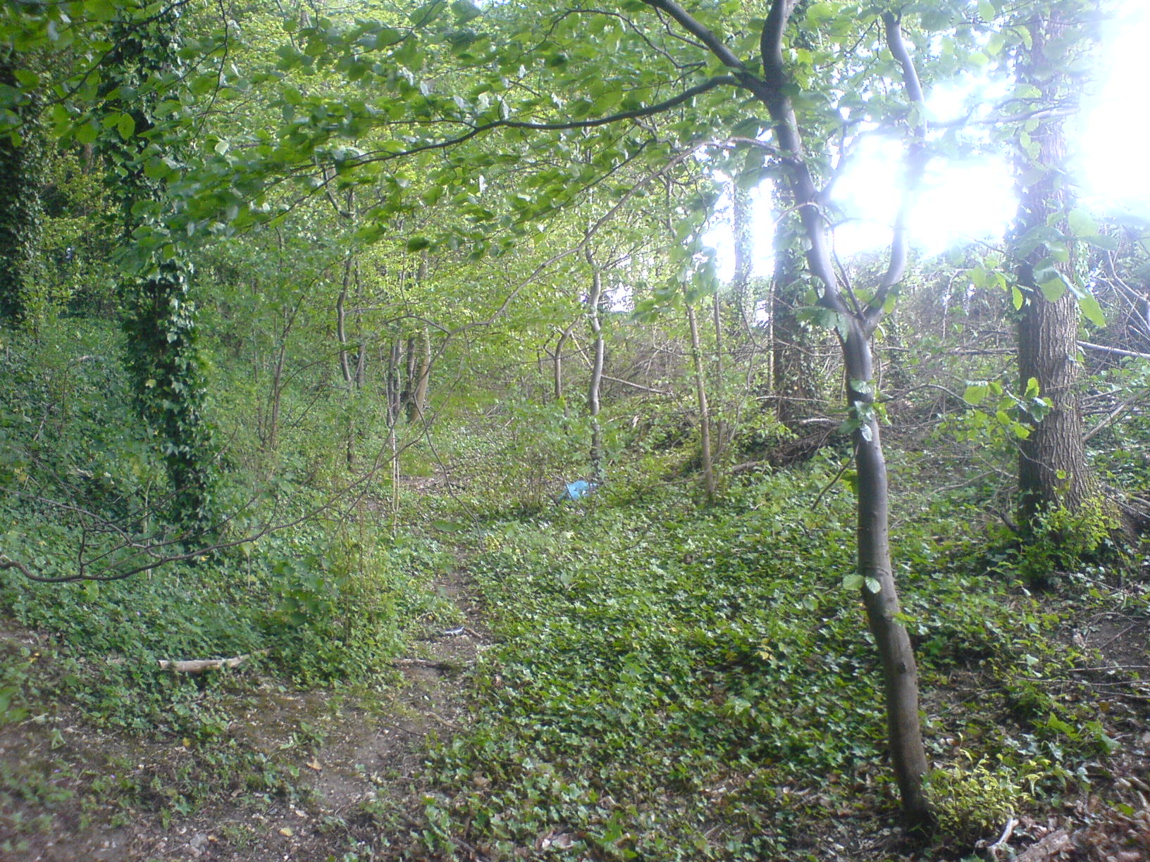
The Hinxton Belt is predominantly composed of native deciduous trees, such as oak, beech, and birch. These trees create a dense canopy, providing shade and shelter for a diverse range of flora and fauna. The forest floor is carpeted with an array of wildflowers, including bluebells and primroses, adding to the wood's natural beauty.
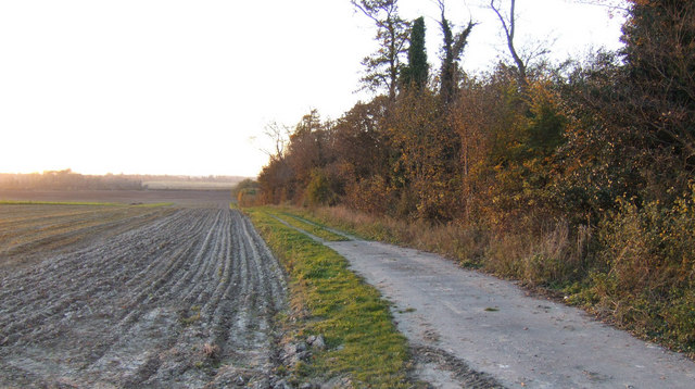
The wood is crisscrossed by numerous footpaths and trails, allowing visitors to explore its serene surroundings. These pathways lead visitors through ancient woodlands, tranquil glades, and along the banks of the River Cam, which runs adjacent to the wood. The area is a haven for nature enthusiasts, offering opportunities for birdwatching, wildlife spotting, and peaceful walks.
Hinxton Belt is also home to a variety of wildlife, including deer, badgers, foxes, and a wide range of bird species. It serves as an important habitat for these creatures, providing them with food, shelter, and breeding grounds.
The wood is managed by a local conservation group, which works to protect and preserve the natural beauty of the area. They organize educational events and guided walks, allowing visitors to learn more about the wood's ecology and its importance in the local ecosystem.
Overall, Hinxton Belt is a captivating wood, offering visitors a tranquil escape into nature and a chance to appreciate the beauty of Cambridgeshire's woodlands.
If you have any feedback on the listing, please let us know in the comments section below.
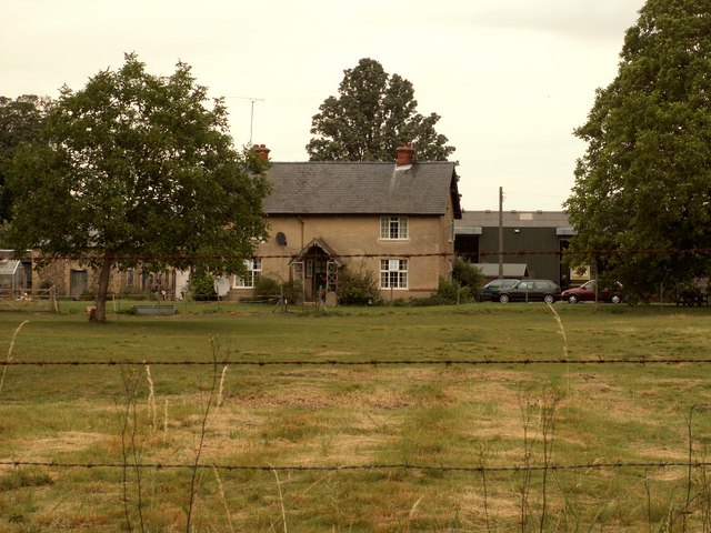
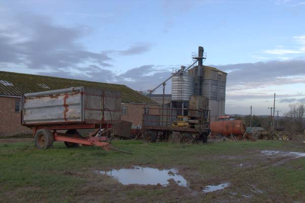
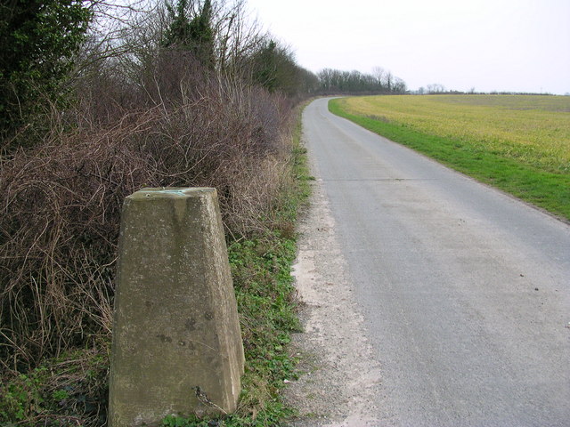
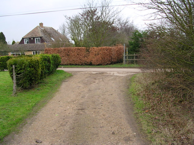
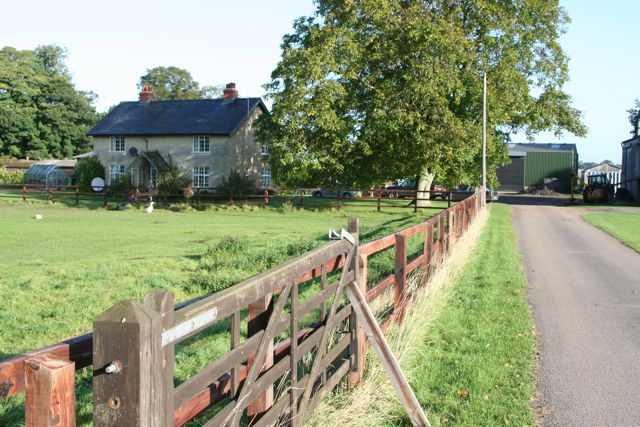
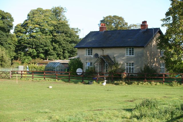
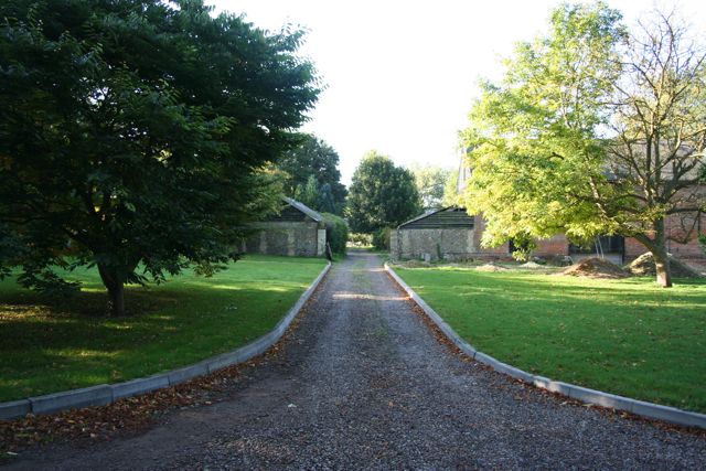
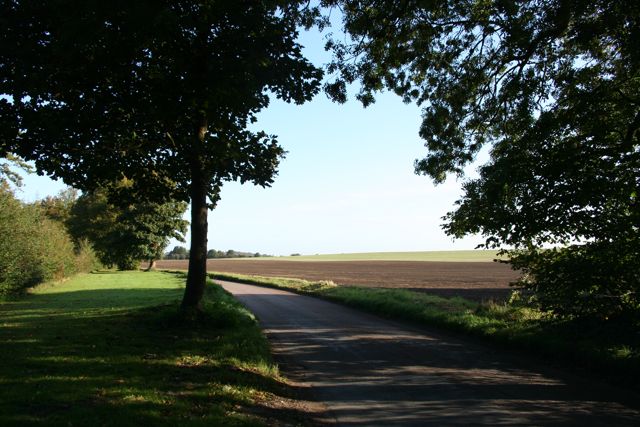
Hinxton Belt Images
Images are sourced within 2km of 52.102151/0.20234443 or Grid Reference TL5047. Thanks to Geograph Open Source API. All images are credited.


Hinxton Belt is located at Grid Ref: TL5047 (Lat: 52.102151, Lng: 0.20234443)
Administrative County: Cambridgeshire
District: South Cambridgeshire
Police Authority: Cambridgeshire
What 3 Words
///bulletins.sanded.emotional. Near Sawston, Cambridgeshire
Nearby Locations
Related Wikis
Brent Ditch
Brent Ditch is generally assumed to be an Anglo-Saxon earthwork in Southern Cambridgeshire, England, built around the 6th and 7th centuries AD. However...

Hanley Grange
Hanley Grange is the name given to an eco-town planned for land north of Hinxton in South Cambridgeshire. Initial proposals for 8,000 homes rising to...
Pampisford Hall
Pampisford Hall is a country house designed by George Goldie in the civil parish of Pampisford in the English county of Cambridgeshire. It became a Grade...
Pampisford railway station
Pampisford railway station is a former British railway station in Pampisford, Cambridgeshire. It was on the Stour Valley Railway from 1865 to its closure...
Babraham
Babraham is a village and civil parish in the South Cambridgeshire district of Cambridgeshire, England, about 6 miles (9.7 km) south-east of Cambridge...
Bourne Bridge railway station
Bourne Bridge railway station served Little Abington, Great Abington, Pampisford and Babraham in Cambridgeshire. It was closed in 1851, along with its...

Granta Park
Granta Park is a science, technology and biopharmaceutical park based on the bank of the River Granta in Great Abington near Cambridge, England. The idea...
St Mary and St John Church, Hinxton
St Mary and St John Church is a Church of England parish church in the village of Hinxton in Cambridgeshire. It is a medieval flint and rubble church in...
Nearby Amenities
Located within 500m of 52.102151,0.20234443Have you been to Hinxton Belt?
Leave your review of Hinxton Belt below (or comments, questions and feedback).