Eastfield Plantation
Wood, Forest in Essex Uttlesford
England
Eastfield Plantation
Eastfield Plantation is a stunning woodland estate located in Essex, England. Situated in the idyllic countryside, the plantation covers a vast area of lush greenery and ancient woodland, making it a haven for nature enthusiasts and those seeking tranquility.
The plantation is known for its diverse range of flora and fauna, with an abundance of native trees including oak, beech, and birch. These trees provide a picturesque backdrop throughout the year, with vibrant autumnal colors and fresh green foliage in the spring and summer months. The woodland is home to a variety of wildlife, such as deer, foxes, and a wide array of bird species, making it a paradise for birdwatchers and wildlife photographers.
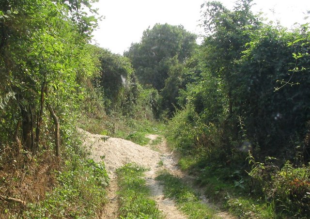
Eastfield Plantation offers numerous walking trails and paths, allowing visitors to explore the beauty of the woodland at their own pace. The plantation is well-maintained, with clear signposts and markers guiding visitors through the various trails, ensuring a safe and enjoyable experience for all. The trails cater to different fitness levels, ranging from leisurely strolls to more challenging hikes, providing something for everyone.
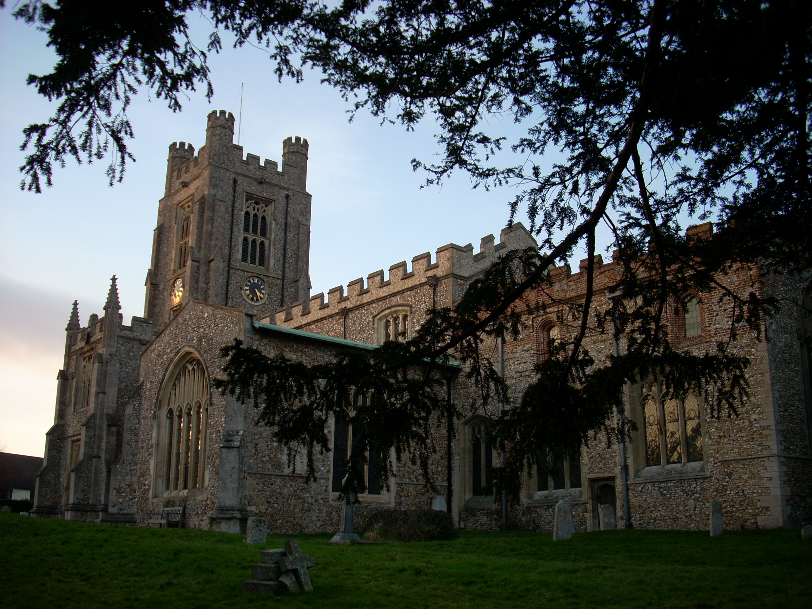
In addition to its natural beauty, Eastfield Plantation also boasts a rich history. The estate dates back several centuries and has been carefully preserved, with some parts of the plantation showcasing historic buildings and structures. These remnants offer a glimpse into the past and add a touch of intrigue to the overall experience.
Overall, Eastfield Plantation is a captivating destination that seamlessly combines nature and history. Whether you are seeking a peaceful retreat or an opportunity to immerse yourself in the wonders of the natural world, this woodland estate in Essex is a must-visit.
If you have any feedback on the listing, please let us know in the comments section below.
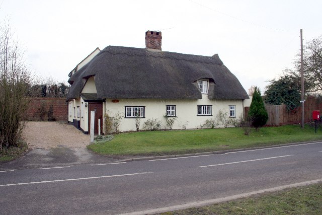
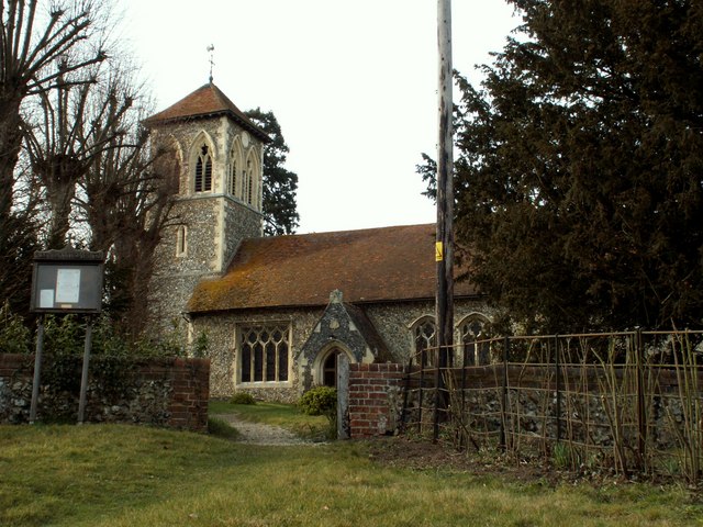
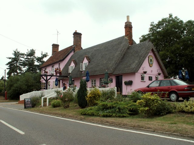
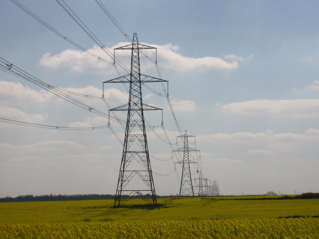
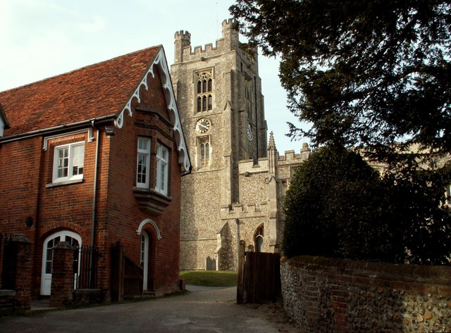
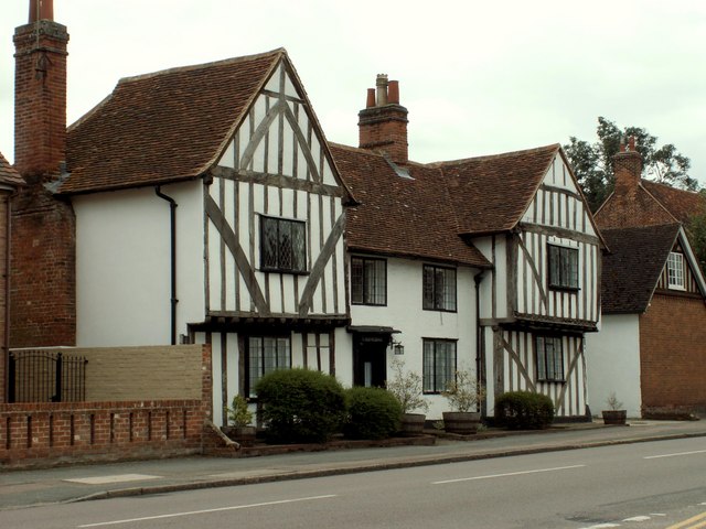
Eastfield Plantation Images
Images are sourced within 2km of 51.984733/0.19207857 or Grid Reference TL5034. Thanks to Geograph Open Source API. All images are credited.


Eastfield Plantation is located at Grid Ref: TL5034 (Lat: 51.984733, Lng: 0.19207857)
Administrative County: Essex
District: Uttlesford
Police Authority: Essex
What 3 Words
///holdings.decide.tolerable. Near Saffron Walden, Essex
Related Wikis

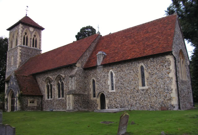
Chapel of St Helen
Chapel of St Helen (also St Helen's Chapel) is an ancient religious building in Wicken Bonhunt, north-west Essex. It dates from around the 11th century...

Saffron Walden Rural District
Saffron Walden Rural District was a rural district in the county of Essex, England. It was created in 1894 and later enlarged by the addition of the parishes...
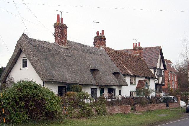
Newport, Essex
Newport is a large village and civil parish in the Uttlesford district in Essex, near Saffron Walden. The village has a population of over 2,000, measured...
Leper Stone
The Leper Stone or Newport Stone (grid reference TL520349) is a large sarsen stone near the village of Newport, Essex, England. The name Leper Stone probably...
Joyce Frankland Academy
Joyce Frankland Academy, Newport, formerly Newport Free Grammar School, is a school in Newport, Essex, England. It was founded in 1588. The school is a...
Newport railway station (Essex)
Newport railway station is on the West Anglia Main Line serving the village of Newport in Essex, England. It is 39 miles 72 chains (64.2 km) down the line...

Arkesden
Arkesden is a village and civil parish in the Uttlesford district of Essex, England. The village is 4.3 miles (7 km) south-west from Saffron Walden, approximately...

St Mary the Virgin Church, Wendens Ambo
St Mary the Virgin Church is a Church of England parish church in the village of Wendens Ambo in Essex, England. It is listed Grade I for its architectural...
Nearby Amenities
Located within 500m of 51.984733,0.19207857Have you been to Eastfield Plantation?
Leave your review of Eastfield Plantation below (or comments, questions and feedback).