Dother Wood

Wood, Forest in Sussex Wealden

England

Dother Wood

Crowborough Beacon Golf Club in 1967
Crowborough Beacon Golf Club in 1967 Credit: John Baker

Dother Wood, located in Sussex, England, is a picturesque woodland area known for its natural beauty and rich biodiversity. Covering an extensive area of land, this ancient forest is a haven for nature enthusiasts and visitors seeking tranquility amidst the lush greenery.

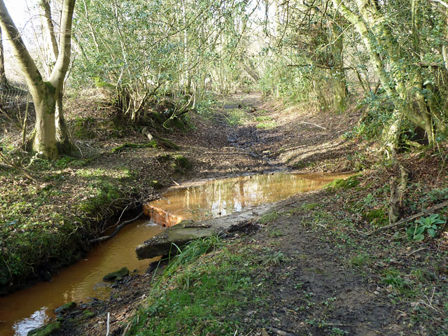
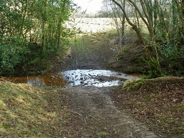
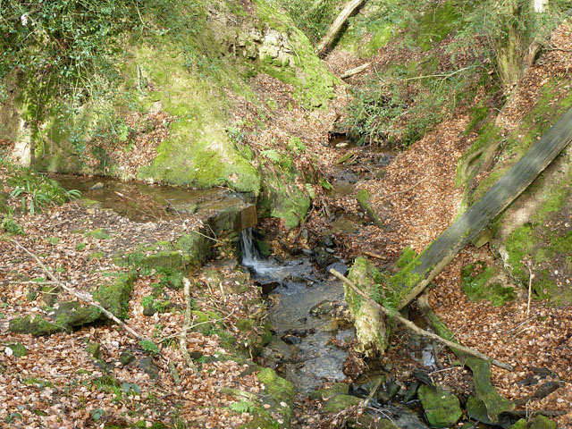
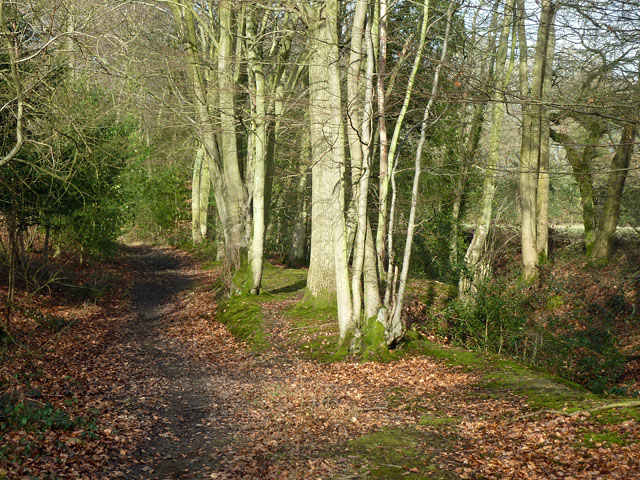
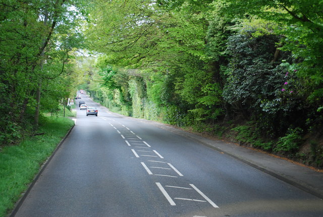
The wood is predominantly composed of broadleaf trees, including oak, beech, and ash, which create a dense canopy that filters sunlight and provides a cool, shaded environment. The forest floor is adorned with a carpet of wildflowers, ferns, and mosses, creating a vibrant and enchanting atmosphere.

Dother Wood is home to a diverse range of wildlife, making it an ideal destination for birdwatchers and animal lovers. Rare bird species such as woodpeckers, thrushes, and nightingales can be spotted among the trees, while deer, badgers, and foxes roam freely in the undergrowth.

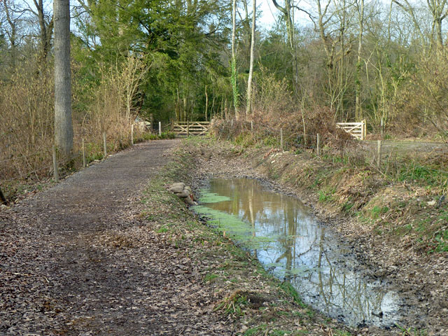
Visitors to Dother Wood can explore the area through a network of well-maintained footpaths and trails, allowing for leisurely walks and hikes. The peaceful ambiance and natural serenity make it an ideal place for meditation, photography, or simply escaping the hustle and bustle of everyday life.

In addition to its natural beauty, Dother Wood holds historical significance, with some parts dating back centuries. Local folklore and legends are intertwined with the wood, adding an air of mystery and intrigue to the surroundings.

Overall, Dother Wood offers a captivating experience for those seeking a connection with nature and a desire to immerse themselves in the wonders of the Sussex countryside.

If you have any feedback on the listing, please let us know in the comments section below.
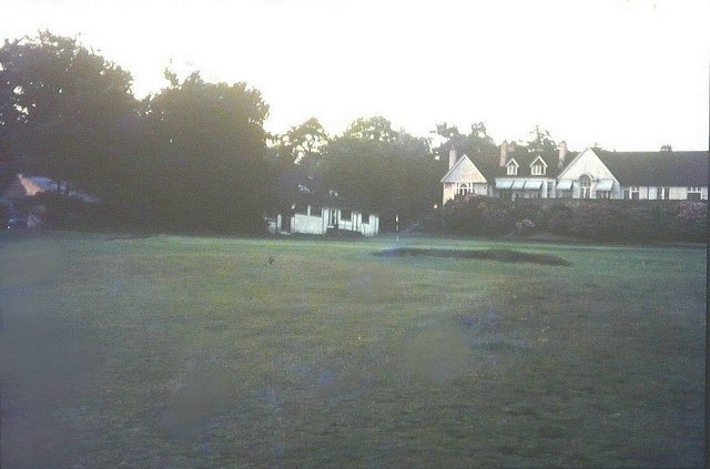
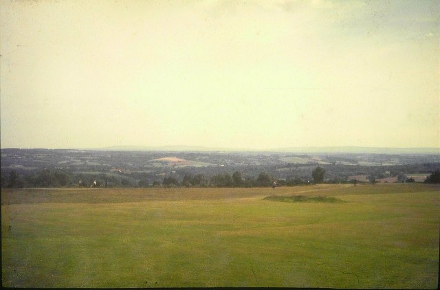
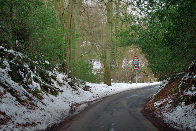
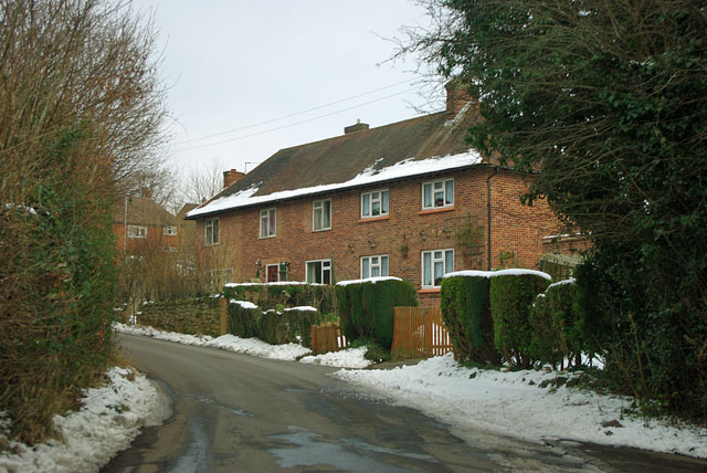
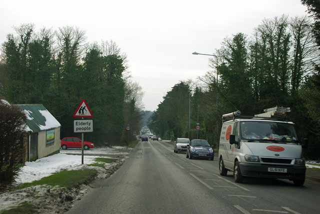
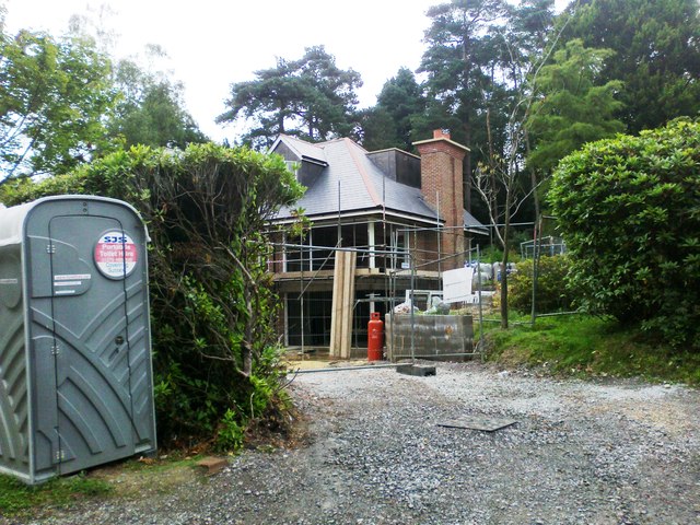
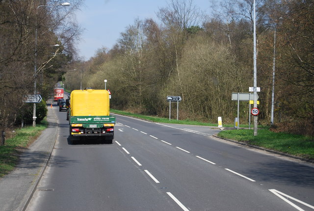
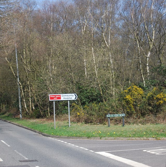
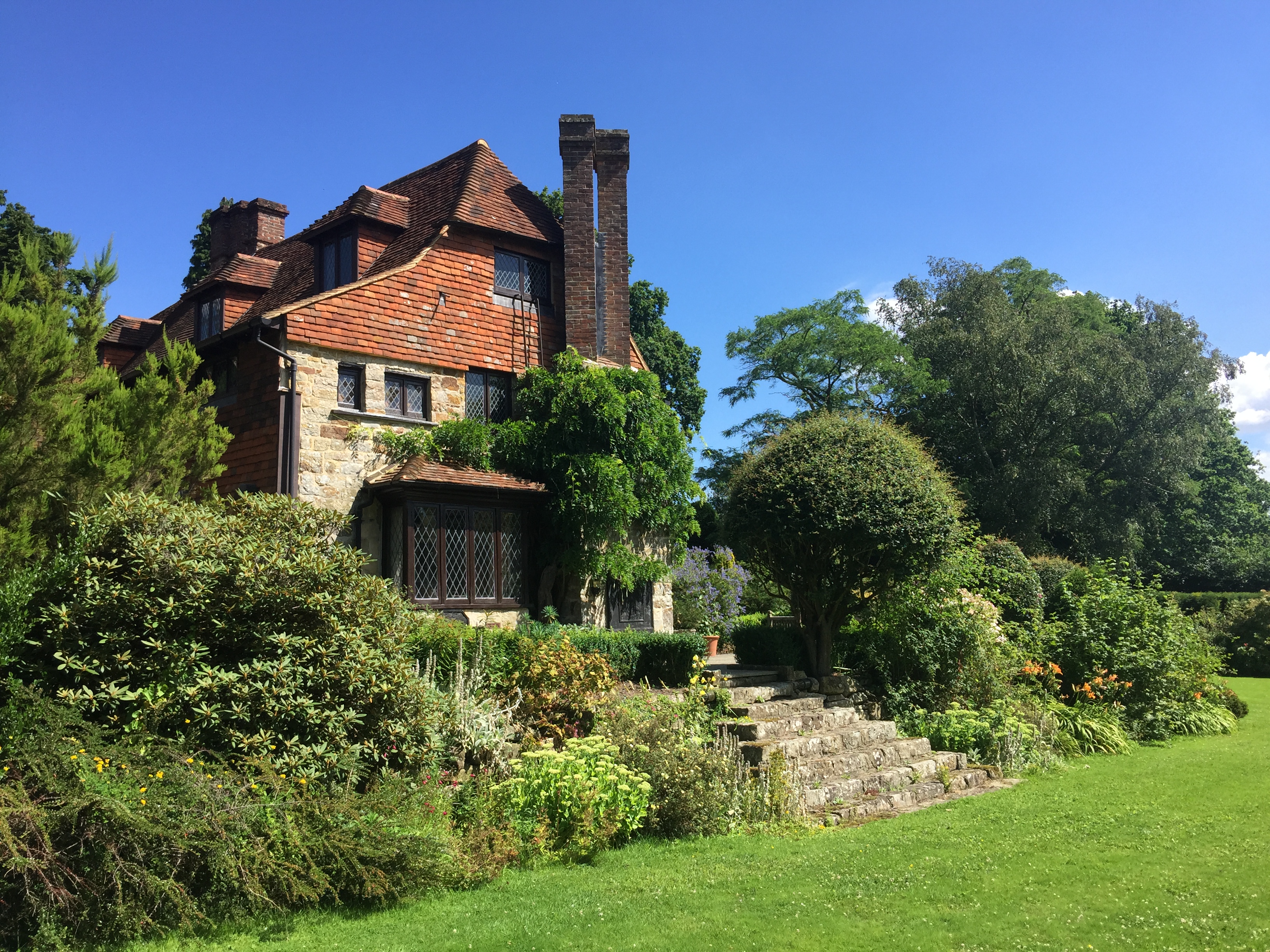
Dother Wood Images

Images are sourced within 2km of 51.036393/0.14604776 or Grid Reference TQ5028. Thanks to Geograph Open Source API. All images are credited.

Crowborough Beacon Golf Club in 1967
View from Crowborough Beacon Golf Club in 1967 A rather hazy view of the distant South Downs across part of the golf course.
View from Crowborough Beacon Golf Club in 1967
A rather hazy view of the distant South Downs across part of the golf course.
Queen's Road, Crowborough Carlton Terrace on the right, part of a succession of houses using quite a lot of the local stone as well as brick.
Queen's Road, Crowborough
Carlton Terrace on the right, part of a succession of houses using quite a lot of the local stone as well as brick.
Stone Cross Road - 30 limit ahead Also a warning that there is no footway for 270 yards (247 m for those puzzled by that).
Stone Cross Road - 30 limit ahead
Also a warning that there is no footway for 270 yards (247 m for those puzzled by that).
Houses on Stone Cross Road At the edge of the Alderbrook district of Crowborough.
Houses on Stone Cross Road
At the edge of the Alderbrook district of Crowborough.
Stone Cross Road meets Walshes Road Walshes Road is Fermor Road to the left of this junction. At the immediate right is the residential Alderbrook Close. This is a very odd name as it is a through road, looping back to Stone Cross Road.
Stone Cross Road meets Walshes Road
Walshes Road is Fermor Road to the left of this junction. At the immediate right is the residential Alderbrook Close. This is a very odd name as it is a through road, looping back to Stone Cross Road.
A26 - beware elderly people There must be a home somewhere around here, but it was not obvious.
A26 - beware elderly people
There must be a home somewhere around here, but it was not obvious.
Ford on footpath Rotherfield 3b The otherwise excellent East Sussex interactive rights of way map marks this with a bridge. There was no sign of any bridge being here in the recent past. Fortunately the stream is narrow enough to jump on the left.
Ford on footpath Rotherfield 3b
The otherwise excellent East Sussex interactive rights of way map marks this with a bridge. There was no sign of any bridge being here in the recent past. Fortunately the stream is narrow enough to jump on the left.
Ford on footpath Rotherfield 51 The otherwise excellent East Sussex interactive rights of way map marks this with a bridge, so does the OS map. There was no sign here of there ever being a bridge. Perhaps it lurks in the undergrowth a little further up the stream?
Ford on footpath Rotherfield 51
The otherwise excellent East Sussex interactive rights of way map marks this with a bridge, so does the OS map. There was no sign here of there ever being a bridge. Perhaps it lurks in the undergrowth a little further up the stream?
Gill stream junction It is rather hard to get a sense of scale here, but the fallen tree on the right is of some size. The main gill stream comes down from the right and is joined by a side stream falling over a substantial seam of sandstone.
Gill stream junction
It is rather hard to get a sense of scale here, but the fallen tree on the right is of some size. The main gill stream comes down from the right and is joined by a side stream falling over a substantial seam of sandstone.
Bridleway Crowborough 27a Here it is following the west edge of a dwindling gill on the right, with the wood known as Sinnock's Rough on the left.
Bridleway Crowborough 27a
Here it is following the west edge of a dwindling gill on the right, with the wood known as Sinnock's Rough on the left.
Bridleway Buxted 36b A bridleway improved not so long ago, and consequently pleasant going. The wayside pond is a nice feature.
Bridleway Buxted 36b
A bridleway improved not so long ago, and consequently pleasant going. The wayside pond is a nice feature.
Little Warren Farm
Little Warren Farm
Crowborough Beacon Golf Course
New house, Fielden Road
A26, Crowborough Common
South View Rd off the A26
A26, Beacon Rd The A26 is a 50 mile route from Maidstone to Newhaven via Tunbridge Wells. <span class="nowrap"><a title="http://www.sabre-roads.org.uk/wiki/index.php?title=A26" rel="nofollow ugc noopener" href="http://www.sabre-roads.org.uk/wiki/index.php?title=A26">Link</a><img style="margin-left:2px;" alt="External link" title="External link - shift click to open in new window" src="https://s1.geograph.org.uk/img/external.png" width="10" height="10"/></span>
A26, Beacon Rd
The A26 is a 50 mile route from Maidstone to Newhaven via Tunbridge Wells. LinkExternal link
Show me another place!

Dother Wood is located at Grid Ref: TQ5028 (Lat: 51.036393, Lng: 0.14604776)

Administrative County: East Sussex

District: Wealden

Police Authority: Sussex

What 3 Words

///unsightly.bottled.valve. Near Crowborough, East Sussex

Related Wikis

Poundgate

Poundgate is a hamlet in East Sussex on the A26 Uckfield Road at the junction with Chillies Road, just south of Crowborough. It has one pub, the Crow and...

Crowborough Athletic F.C.

Crowborough Athletic Football Club is a football club based in Crowborough, East Sussex, England. Affiliated to the Sussex County Football Association...

Luxford House

Luxford House is a 16th-century Grade II listed building near Crowborough, East Sussex. It is near the 11.5-acre (4.7 ha) Luxford Farm. It was used by...

A26 road

The A26 road is a primary route in the southeast of England, going from Maidstone to Newhaven through the counties of Kent and East Sussex. The road is...

Richard Hill (RAF officer)

Lieutenant Richard Frank Hill (28 April 1899 – 17 September 1918) was a British World War I flying ace credited with seven aerial victories. == Biography... ==

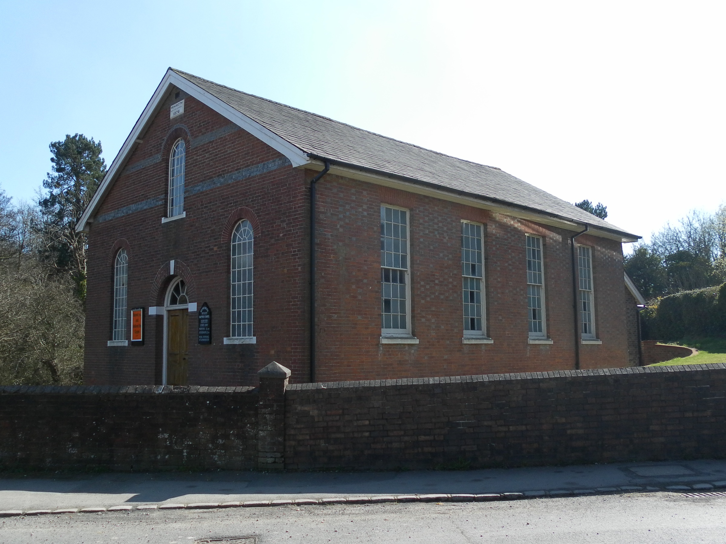
Rehoboth Chapel, Jarvis Brook

The Rehoboth Chapel is a Strict Baptist place of worship in the village of Jarvis Brook in the English county of East Sussex. The red- and blue-brick building...

High Hurstwood

High Hurstwood is a village in the Wealden district of East Sussex. == External links == High Hurstwood village history Holy Trinity Church, High Hurstwood...

Temple Grove School

Temple Grove School was a preparatory school for boys, and after 1984 also for girls, originally at Parsons Green, London, later at East Sheen, London...

Nearby Amenities

Located within 500m of 51.036393,0.14604776
Post Box
Operator: Royal Mail
Operator Wikidata: Q638098
Post Box Type: lamp
Ref: TN6 274
Royal Cypher: EIIR
Royal Cypher Wikidata: Q33102113
Lat/Long: 51.0357192/0.1412692
Sweethaws Farm
Addr City: Crowborough
Addr Postcode: TN6 3SS
Addr Street: Sweethaws Lane
Place: farm
Source: OS_OpenData_StreetView
Lat/Long: 51.0332375/0.1443779
Ghyll Farm
Addr City: Crowborough
Addr Postcode: TN6 3SS
Addr Street: Sweethaws Lane
Fhrs Id: 988628
Place: farm
Source: OS_OpenData_StreetView
Source Addr: FHRS Open Data
Lat/Long: 51.0381575/0.1423207
Generator Method: photovoltaic
Generator Output Electricity: yes
Generator Source: solar
Generator Type: solar_photovoltaic_panel
Power: generator
Lat/Long: 51.0356608/0.1414403
Allfreys Farm
Addr City: Crowborough
Addr Postcode: TN6 3SG
Place: farm
Lat/Long: 51.0379399/0.1503995
The data included in this document is from www.openstreetmap.org. The data is made available under ODbL.

Have you been to Dother Wood?

Leave your review of Dother Wood below (or comments, questions and feedback).