Flatiron Spring
Wood, Forest in Essex Uttlesford
England
Flatiron Spring
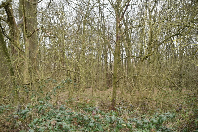
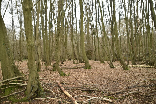
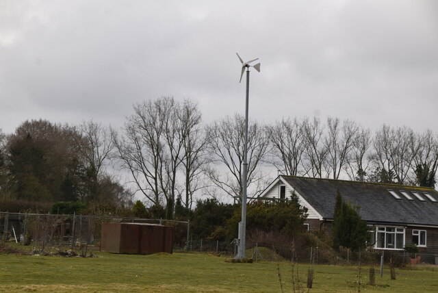
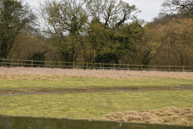
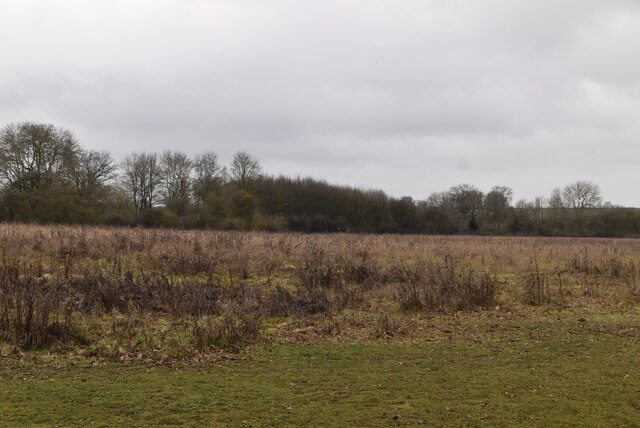
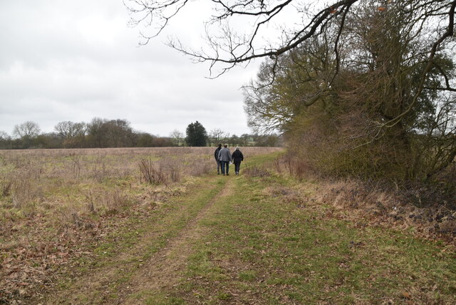
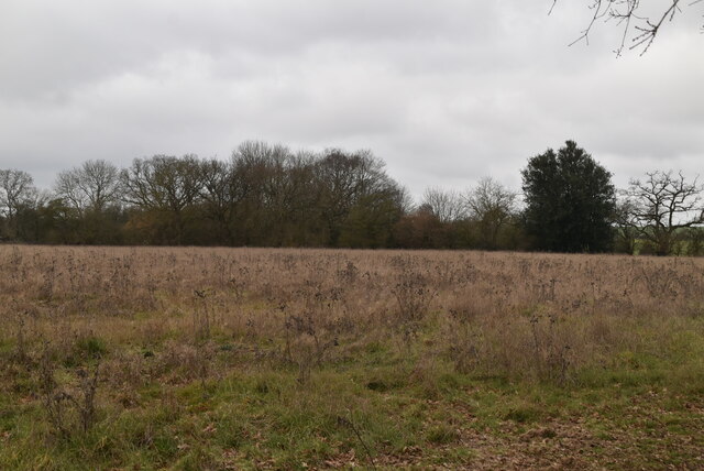
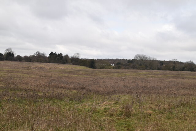
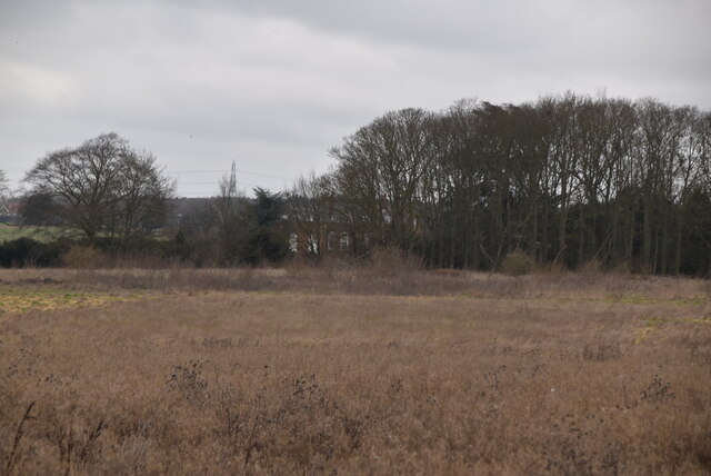
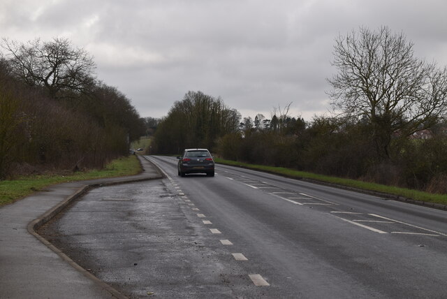
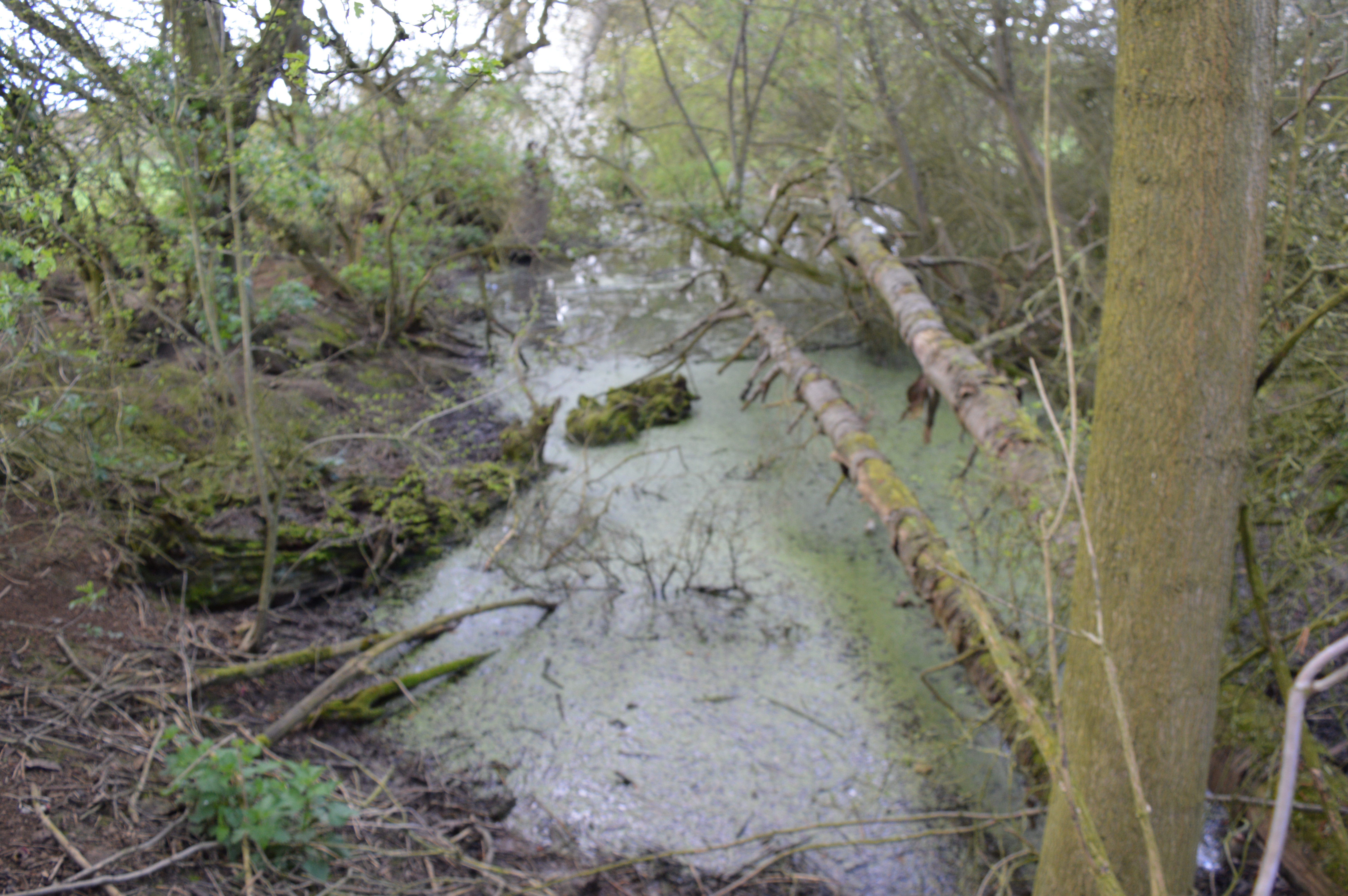
Flatiron Spring is a picturesque and tranquil woodland area located in Essex, England. Situated in the heart of the county, it is known for its natural beauty and diverse ecosystem. Covering an area of approximately 200 acres, Flatiron Spring is a haven for wildlife enthusiasts and nature lovers.
The woodland is characterized by its dense canopy of ancient oak, beech, and ash trees, which provide a cool and shady environment during the summer months. The forest floor is adorned with a carpet of bluebells and wildflowers, creating a stunning display of color and fragrance. The gentle babbling of the spring that runs through the woods adds to the serene atmosphere.
Flatiron Spring is home to a wide range of wildlife, making it a popular spot for birdwatching and animal spotting. Visitors may catch a glimpse of rare and elusive creatures such as deer, foxes, and badgers, as well as a variety of bird species including owls, woodpeckers, and warblers.
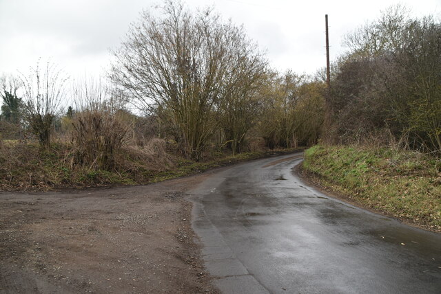
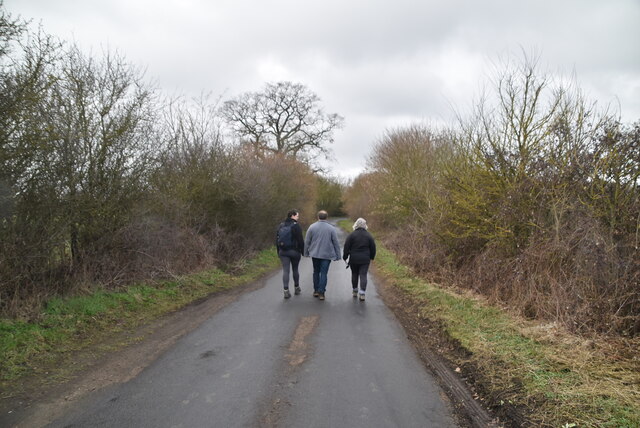
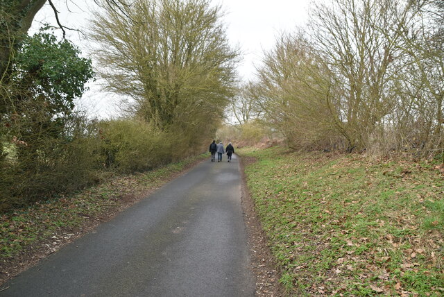
The woodland also offers a network of well-maintained walking trails, allowing visitors to explore its natural wonders at their own pace. Whether one chooses a leisurely stroll or a more challenging hike, there is something for everyone at Flatiron Spring. The trails are clearly marked and provide access to some of the most scenic areas of the woodland, including a picturesque lake and a small waterfall.
Flatiron Spring is a true gem of Essex, offering a peaceful escape from the hustle and bustle of everyday life. Its natural beauty and abundant wildlife make it a must-visit destination for nature enthusiasts and those seeking a tranquil retreat in the heart of the English countryside.
If you have any feedback on the listing, please let us know in the comments section below.
Flatiron Spring Images
Images are sourced within 2km of 51.916237/0.18682076 or Grid Reference TL5026. Thanks to Geograph Open Source API. All images are credited.


Flatiron Spring is located at Grid Ref: TL5026 (Lat: 51.916237, Lng: 0.18682076)
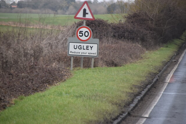
Administrative County: Essex
District: Uttlesford
Police Authority: Essex
What 3 Words
///vest.objective.coconuts. Near Stansted Mountfitchet, Essex
Nearby Locations
Related Wikis

Stansted F.C.
Stansted Football Club is an English football club based in Stansted Mountfitchet, Essex. The club are currently members of the Spartan South Midlands...

Manuden
Manuden is a village and civil parish in the Uttlesford district of Essex, England. It is located around 3+1⁄2 miles (6 km) north of Bishop's Stortford...

Orford House
Orford House is a country house in the small medieval hamlet of Ugley, Essex, England. == History == The house was built for Edward Russell, who went on...

Aubrey Buxton Nature Reserve
Aubrey Buxton Nature Reserve is a 9.7-hectare (24-acre) nature reserve west of Elsenham in Essex. It was donated to the Essex Wildlife Trust by Aubrey...

Stansted Mountfitchet Castle
Stansted Mountfitchet Castle, also termed simply Mountfitchet Castle, is a Norman ringwork and bailey fortification in Stansted Mountfitchet, Essex, England...

Stansted Mountfitchet Windmill
Stansted Mountfitchet Windmill is a grade II* listed Tower mill at Stansted Mountfitchet, Essex, England which is also a Scheduled Ancient Monument. It...
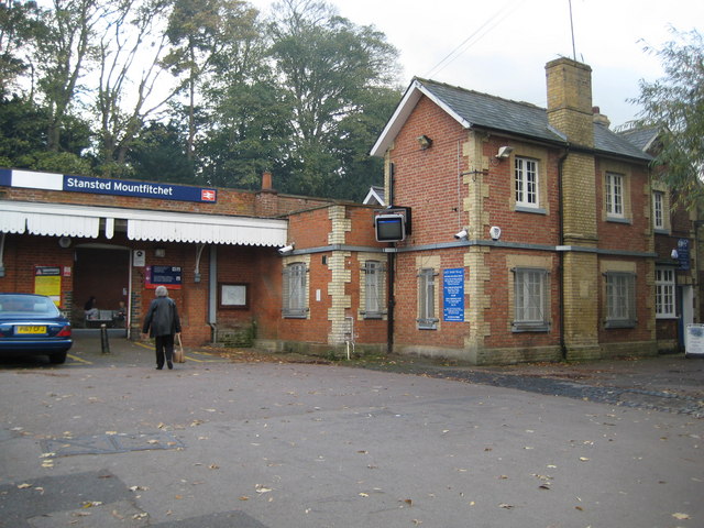
Stansted Mountfitchet railway station
Stansted Mountfitchet railway station is on the West Anglia Main Line serving the village of Stansted Mountfitchet in Essex, England. It is 33 miles 28...
Hall's Quarry
Hall's Quarry is a 0.8-hectare (2.0-acre) geological Site of Special Scientific Interest north-west of Ugley Green in Essex. It is a Geological Conservation...
Have you been to Flatiron Spring?
Leave your review of Flatiron Spring below (or comments, questions and feedback).