Alder Shaw

Wood, Forest in Kent Sevenoaks

England

Alder Shaw

M25 & M26 near Chevening & Chipstead This is where the M25 London Orbital Road turns to the north (left in the picture) and the M26 continues to the east.
M25 & M26 near Chevening & Chipstead Credit: Nigel Freeman

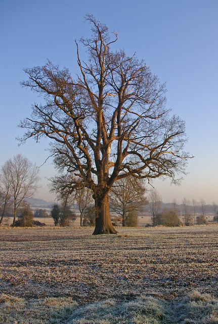
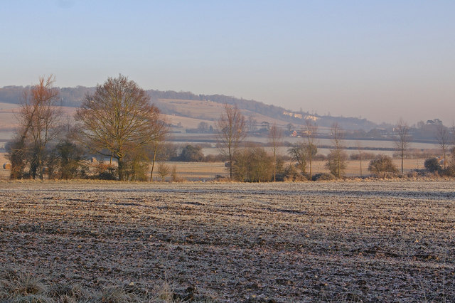
Alder Shaw, Kent is a small woodland area located in the county of Kent, England. Situated within the larger Bedgebury Forest, Alder Shaw is known for its dense population of alder trees, which lend the area its name. The woodland is characterized by its serene and picturesque environment, making it a popular destination for nature enthusiasts, hikers, and photographers alike.

Covering an area of approximately 50 acres, Alder Shaw is home to a diverse range of plant and animal species. The alder trees dominate the landscape, providing a lush canopy that shelters various flora and fauna. The woodland floor is adorned with a carpet of ferns, mosses, and wildflowers, creating a vibrant and enchanting atmosphere. The dense vegetation also offers a natural habitat for a wide array of bird species, making it a prime spot for birdwatching.

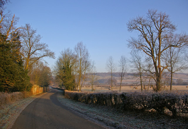
The woodland is intersected by several walking trails, which allow visitors to explore its beauty at their own pace. These trails offer a chance to observe and appreciate the rich biodiversity of the area, with many informative signs and markers along the way. Additionally, there are designated picnic areas and benches scattered throughout the woodland, providing visitors with a peaceful setting to relax and enjoy the surrounding nature.

Alder Shaw is maintained by the Forestry Commission, ensuring the preservation of its natural beauty and the protection of its wildlife. The woodland is easily accessible by car or public transportation, with ample parking available. Whether visitors are seeking a tranquil stroll, an immersive nature experience, or simply a break from the hustle and bustle of everyday life, Alder Shaw, Kent offers a serene and captivating escape into the heart of the forest.

If you have any feedback on the listing, please let us know in the comments section below.
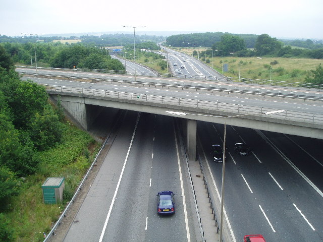
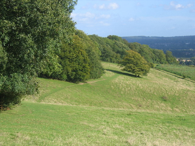
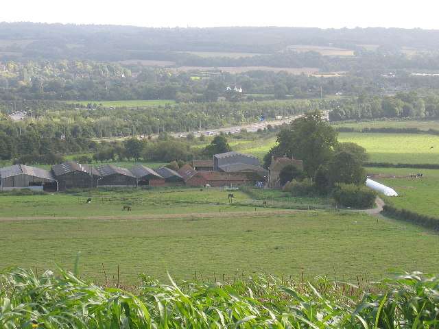
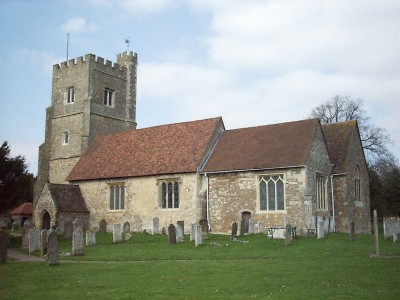
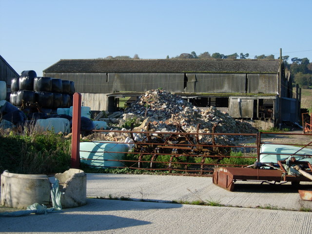
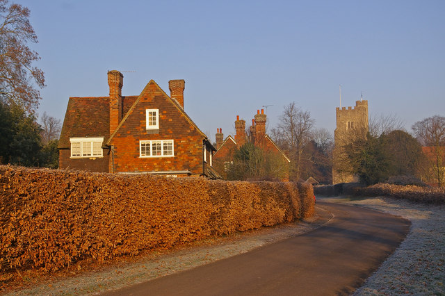
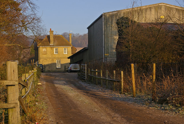
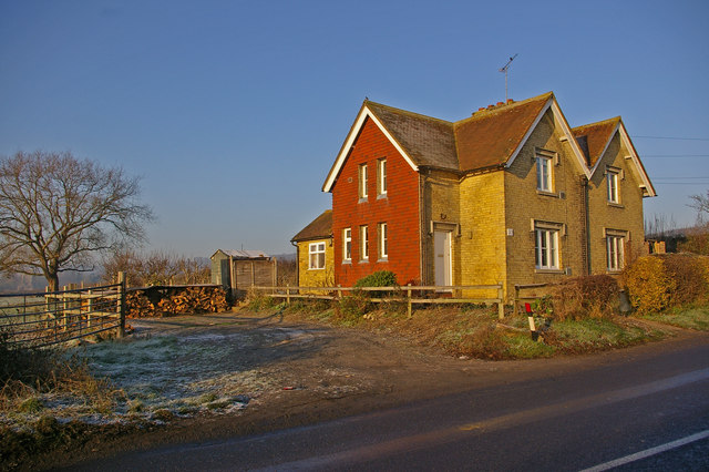
Alder Shaw Images

Images are sourced within 2km of 51.297806/0.15609483 or Grid Reference TQ5057. Thanks to Geograph Open Source API. All images are credited.

M25 & M26 near Chevening & Chipstead This is where the M25 London Orbital Road turns to the north (left in the picture) and the M26 continues to the east.
M25 & M26 near Chevening & Chipstead
This is where the M25 London Orbital Road turns to the north (left in the picture) and the M26 continues to the east.
The North Downs Way - a grassy stretch It's stretches like this that make the North Downs Way a pleasure.
The North Downs Way - a grassy stretch
It's stretches like this that make the North Downs Way a pleasure.
Turvins Farm and the M25
St. Botolphs Church Where my grandparents were married.
St. Botolphs Church
Where my grandparents were married.
Morants Court Farm - near Chevening, Sevenoaks The North Downs Way runs steeply northwest up through this farm.
Morants Court Farm - near Chevening, Sevenoaks
The North Downs Way runs steeply northwest up through this farm.
Chevening This small village is set along the eastern boundary of the grounds of Chevening House, the official country residence of the Foreign Secretary.

For a similar photo in late spring, see <a href="https://www.geograph.org.uk/photo/1888129">TQ4857 : Chevening</a>.
Chevening
This small village is set along the eastern boundary of the grounds of Chevening House, the official country residence of the Foreign Secretary. For a similar photo in late spring, see TQ4857 : Chevening.
Bare tree in winter View from Chevening Lane, with the North Downs in the distance.
Bare tree in winter
View from Chevening Lane, with the North Downs in the distance.
Chevening Lane This is the lane leading into Chevening village.  The wall on the left is that of the grounds of Chevening House, the official country residence of the Foreign Secretary.  In the background are the North Downs.
Chevening Lane
This is the lane leading into Chevening village. The wall on the left is that of the grounds of Chevening House, the official country residence of the Foreign Secretary. In the background are the North Downs.
Winter fields by Chevening Lane Frosted fields - in the middle distance is Turvin's Farm, at the other edge of this square, with a disused quarry on the North Downs in the far distance.
Winter fields by Chevening Lane
Frosted fields - in the middle distance is Turvin's Farm, at the other edge of this square, with a disused quarry on the North Downs in the far distance.
Turvin's Farm In the background are the North Downs.  See <a href="https://www.geograph.org.uk/photo/2273676">TQ4957 : Turvin's Farm</a> for a view of the farm from above.
Turvin's Farm
In the background are the North Downs. See TQ4957 : Turvin's Farm for a view of the farm from above.
Cottages next to Turvin's Farm The red tiling on one wall is unusual.
Cottages next to Turvin's Farm
The red tiling on one wall is unusual.
Chevening House Looking back at Chevening House from the far end of the lake
Chevening House
Looking back at Chevening House from the far end of the lake
Morants Court Farm Old farm implements at a disused entrance to the farmyard.  In the background is Keeper's Cottage on Star Hill, which, before the route down Polhill was built (now the A224), was the main Sevenoaks Road.
Morants Court Farm
Old farm implements at a disused entrance to the farmyard. In the background is Keeper's Cottage on Star Hill, which, before the route down Polhill was built (now the A224), was the main Sevenoaks Road.
Bridge over mill stream, Chipstead This mill stream was diverted from the River Darent, which flows a few yards to the south.  This stone bridge carries Chevening Road over the stream.
Bridge over mill stream, Chipstead
This mill stream was diverted from the River Darent, which flows a few yards to the south. This stone bridge carries Chevening Road over the stream.
The Bricklayers Arms, Chipstead On Chevening Road
The Bricklayers Arms, Chipstead
On Chevening Road
A21 near Chipstead The A21 is a 63 mile major trunk road running  from Lewisham in Greater London to Hastings, East Sussex. The road is broken up by the M25 motorway between junction 4 and 5.
Wikipedia <span class="nowrap"><a title="http://en.wikipedia.org/wiki/A21_road_(England)" rel="nofollow ugc noopener" href="http://en.wikipedia.org/wiki/A21_road_(England)">Link</a><img style="margin-left:2px;" alt="External link" title="External link - shift click to open in new window" src="https://s1.geograph.org.uk/img/external.png" width="10" height="10"/></span>
A21 near Chipstead
The A21 is a 63 mile major trunk road running from Lewisham in Greater London to Hastings, East Sussex. The road is broken up by the M25 motorway between junction 4 and 5. Wikipedia LinkExternal link
Chevening St Botolphs C of E Primary School Confusingly, this primary school is in Chipstead, not Chevening.  The name is because it is connected to St Botolph's Church, Chevening, whose parish covers both villages.
Chevening St Botolphs C of E Primary School
Confusingly, this primary school is in Chipstead, not Chevening. The name is because it is connected to St Botolph's Church, Chevening, whose parish covers both villages.
Show me another place!

Alder Shaw is located at Grid Ref: TQ5057 (Lat: 51.297806, Lng: 0.15609483)

Administrative County: Kent

District: Sevenoaks

Police Authority: Kent

What 3 Words

///value.points.allow. Near Otford, Kent

Related Wikis

Nearby Amenities

Located within 500m of 51.297806,0.15609483
Barrier: stile
Foot: yes
Lat/Long: 51.2974423/0.1590571
Information: map
Tourism: information
Lat/Long: 51.3001045/0.160025
Kindergarten
Broughton Cottage Day Nursery
Addr Housename: Broughton Cottage
Addr Postcode: TN13 2TD
Addr Street: London Road
Fhrs Id: 266556
Source Addr: FHRS Open Data
Lat/Long: 51.3006239/0.1609666
Chaucer
Shop: car
Lat/Long: 51.3006134/0.1604594
Phone
Check Date: 2022-12-03
Emergency: phone
Lat/Long: 51.2975295/0.1597618
Phone
Check Date: 2022-04-23
Emergency: phone
Lat/Long: 51.2971512/0.1600896
Bus Stop
Rose and Crown
Bench: no
Local Ref: adj
Naptan AtcoCode: 240092080
Naptan Bearing: SE
Naptan BusStopType: MKD
Naptan CommonName: Rose and Crown
Naptan Indicator: adj
Naptan Landmark: Rose and Crown
Naptan NaptanCode: kntgjpmt
Naptan RevisionNumber: 5
Naptan Status: act
Naptan Street: London Road
Naptan Verified: no
Public Transport: platform
Ref: kntgjpmt
Shelter: no
Source: naptan_import
Source Date: 2018-02-14
Lat/Long: 51.2994116/0.1622669
Bus Stop
Rose and Crown
Local Ref: opp
Naptan AtcoCode: 2400A008550A
Naptan Bearing: W
Naptan BusStopType: MKD
Naptan CommonName: Rose and Crown
Naptan Indicator: opp
Naptan Landmark: Rose and Crown
Naptan NaptanCode: kntajtpd
Naptan RevisionNumber: 5
Naptan Status: act
Naptan Street: Morants Court Road
Naptan Verified: no
Public Transport: platform
Ref: kntajtpd
Source: naptan_import
Source Date: 2018-02-14
Lat/Long: 51.2999569/0.1600116
Barrier: kissing_gate
Foot: yes
Lat/Long: 51.2999513/0.1601285
Barrier: stile
Foot: yes
Lat/Long: 51.2969119/0.1595002
Barrier: stile
Foot: yes
Lat/Long: 51.2961949/0.1574461
Barrier: kissing_gate
Foot: yes
Lat/Long: 51.2992405/0.1622659
Fire Hydrant
Emergency: fire_hydrant
Fire Hydrant Type: underground
Lat/Long: 51.301153/0.1603907
Waste Basket
Waste: dog_excrement
Lat/Long: 51.29984/0.1615746
Post Box
Collection Times: Mo-Fr 09:00; Sa 07:00
Post Box Mounting: building
Post Box Type: wall
Ref: TN13 277
Royal Cypher: VR
Royal Cypher Wikidata: Q33102356
Lat/Long: 51.3004907/0.1607448
Street Lamp
Lat/Long: 51.2948745/0.1506674
Colour: red and white
Marker: aerial
Utility: gas
Lat/Long: 51.2992743/0.1622365
Colour: yellow
Marker: post
Material: concrete
Utility: gas
Lat/Long: 51.2992904/0.1622585
The data included in this document is from www.openstreetmap.org. The data is made available under ODbL.

Have you been to Alder Shaw?

Leave your review of Alder Shaw below (or comments, questions and feedback).