Ash Plantation
Wood, Forest in Essex Uttlesford
England
Ash Plantation
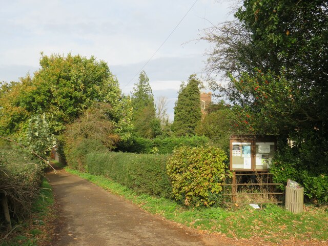
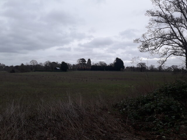
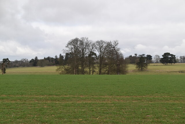
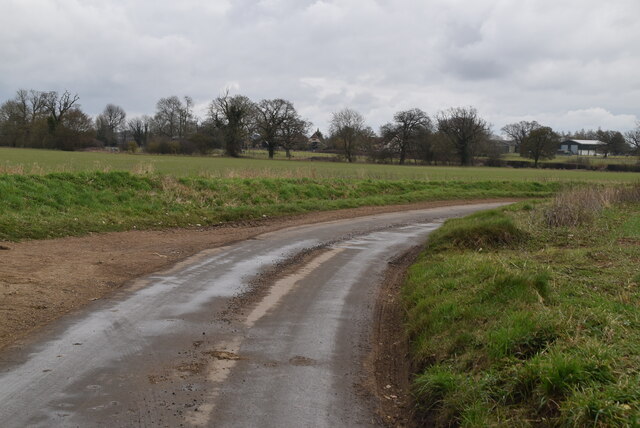
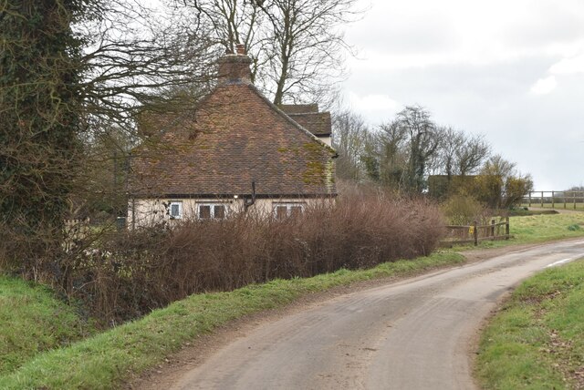
Ash Plantation is a serene woodland located in the county of Essex, England. Situated in the south-central part of the county, the plantation covers an area of approximately 300 acres. It is part of the larger Epping Forest district, known for its natural beauty and rich biodiversity.
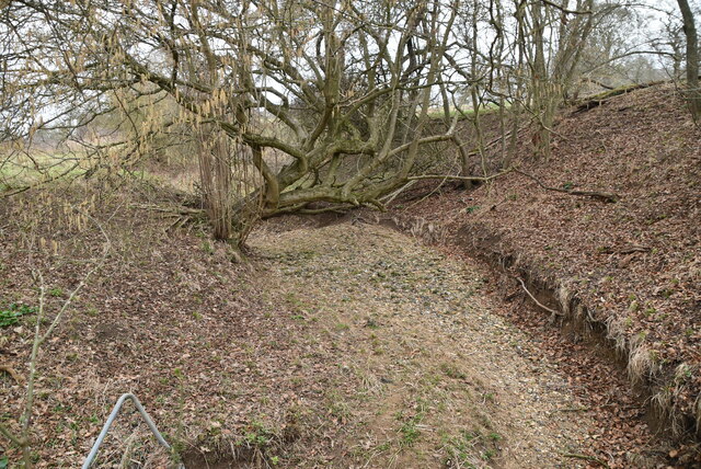
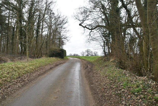
The plantation takes its name from the dominant tree species found within its boundaries, the ash tree. These tall, slender trees create a dense canopy overhead, providing shade and shelter to a variety of plant and animal species. The woodland is characterized by its lush undergrowth, comprised of ferns, wildflowers, and mosses, which flourish in the damp and fertile soil.
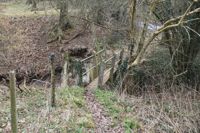
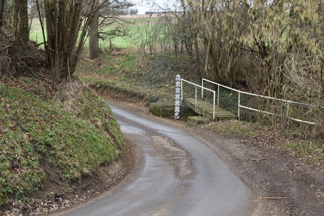
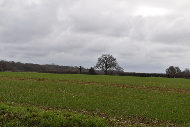
Visitors to Ash Plantation can explore a network of well-maintained footpaths and trails that wind through the woodland. These paths offer stunning views of the surrounding landscape, including picturesque meadows, small streams, and ponds. Nature enthusiasts will be delighted by the diverse birdlife that calls the plantation home, with species such as woodpeckers, owls, and thrushes frequently spotted among the treetops.
The plantation is a designated Site of Special Scientific Interest (SSSI), recognized for its ecological importance and unique habitats. It provides a valuable habitat for a range of wildlife, including small mammals, amphibians, and insects. Conservation efforts are in place to protect the delicate balance of the ecosystem and maintain the plantation's natural beauty for future generations to enjoy.
In summary, Ash Plantation in Essex is a captivating woodland, offering visitors the opportunity to escape into nature and immerse themselves in its tranquility. With its diverse flora and fauna, well-maintained trails, and stunning vistas, it is a haven for outdoor enthusiasts and nature lovers alike.
If you have any feedback on the listing, please let us know in the comments section below.
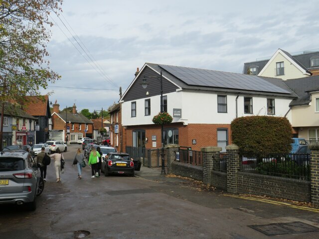
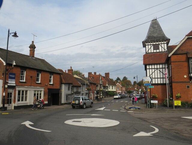
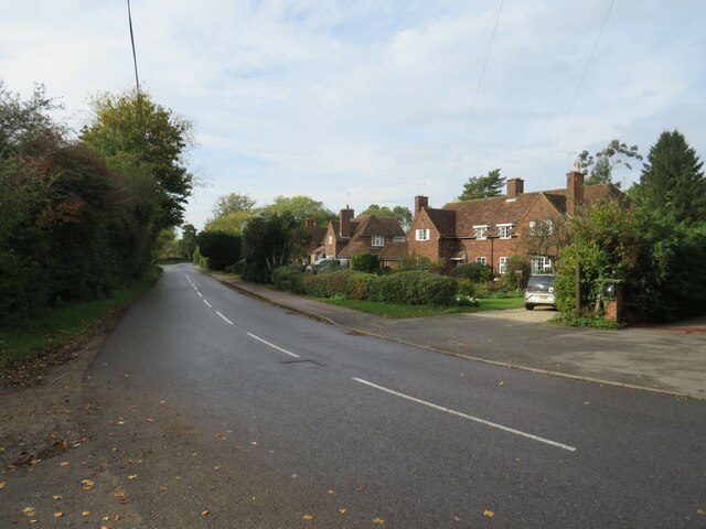
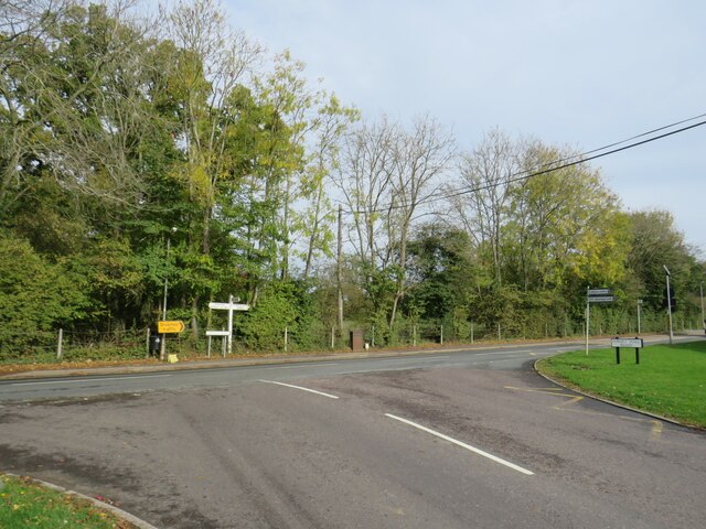
Ash Plantation Images
Images are sourced within 2km of 51.895023/0.18349396 or Grid Reference TL5024. Thanks to Geograph Open Source API. All images are credited.
Ash Plantation is located at Grid Ref: TL5024 (Lat: 51.895023, Lng: 0.18349396)
Administrative County: Essex
District: Uttlesford
Police Authority: Essex
What 3 Words
///expressed.palaces.agrees. Near Stansted Mountfitchet, Essex
Nearby Locations
Related Wikis

Stansted Mountfitchet Windmill
Stansted Mountfitchet Windmill is a grade II* listed Tower mill at Stansted Mountfitchet, Essex, England which is also a Scheduled Ancient Monument. It...

Stansted Mountfitchet
Stansted Mountfitchet is an English village and civil parish in Uttlesford district, Essex, near the Hertfordshire border, 35 miles (56 km) north of London...

Bentfield Green
Bentfield Green is an area of common land and settlement in the village of Stansted Mountfitchet, in the civil parish of Stansted Mountfitchet, in the...
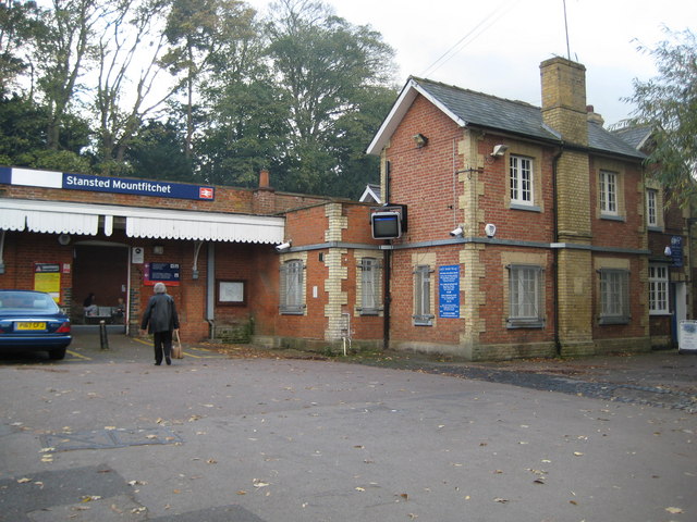
Stansted Mountfitchet railway station
Stansted Mountfitchet railway station is on the West Anglia Main Line serving the village of Stansted Mountfitchet in Essex, England. It is 33 miles 28...
Stansted F.C.
Stansted Football Club is an English football club based in Stansted Mountfitchet, Essex. The club are currently members of the Spartan South Midlands...

Stansted Mountfitchet Castle
Stansted Mountfitchet Castle, also termed simply Mountfitchet Castle, is a Norman ringwork and bailey fortification in Stansted Mountfitchet, Essex, England...
Forest Hall School
Forest Hall School is a coeducational secondary school located in Stansted Mountfitchet, Essex, England. In 2016 64% of students gained at least 5 GCSEs...

Birchanger
Birchanger () is a village in Essex, England, 3 km (1.9 mi) northeast of Bishop's Stortford and 25 km (16 mi) northwest of the county town, Chelmsford...
Nearby Amenities
Located within 500m of 51.895023,0.18349396Have you been to Ash Plantation?
Leave your review of Ash Plantation below (or comments, questions and feedback).