Pine Wood
Wood, Forest in Essex
England
Pine Wood

Pine Wood is a charming forest located in the county of Essex, England. With its picturesque landscape and tranquil ambiance, it attracts nature enthusiasts and outdoor lovers from all over the region. Spanning an area of approximately 500 acres, Pine Wood is renowned for its diverse range of pine trees, which dominate the forest and lend it its name.
The forest boasts a rich biodiversity, with various species of flora and fauna calling it home. The tall, majestic pine trees provide a dense canopy, allowing for a cool and shaded environment even on the hottest summer days. The forest floor is covered in a thick layer of pine needles, creating a soft and fragrant carpet underfoot.
Pine Wood offers a myriad of recreational activities for visitors to enjoy. Numerous walking trails wind their way through the forest, providing opportunities for leisurely strolls and invigorating hikes. The well-maintained paths are suitable for all ages and abilities, making Pine Wood an ideal destination for families and nature enthusiasts alike.
Birdwatchers will delight in the abundance of avian species that can be spotted in the forest, including woodpeckers, owls, and various songbirds. Small mammals such as squirrels and rabbits also frequent the area, adding to the forest's charm and natural appeal.
For those seeking solitude and a break from the hustle and bustle of daily life, Pine Wood offers a peaceful retreat. The serene atmosphere and beautiful surroundings make it the perfect place to unwind, reconnect with nature, and appreciate the simple pleasures that the forest has to offer.
If you have any feedback on the listing, please let us know in the comments section below.
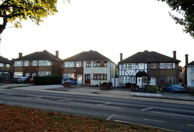
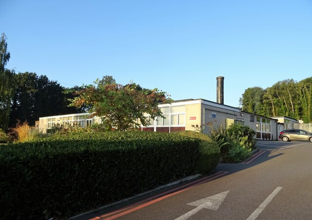
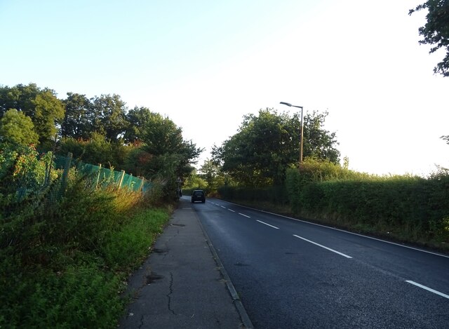
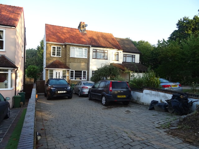
Pine Wood Images
Images are sourced within 2km of 51.613843/0.16987031 or Grid Reference TQ5092. Thanks to Geograph Open Source API. All images are credited.


Pine Wood is located at Grid Ref: TQ5092 (Lat: 51.613843, Lng: 0.16987031)
Unitary Authority: Havering
Police Authority: Metropolitan
What 3 Words
///target.crunch.tulip. Near Collier Row, London
Nearby Locations
Related Wikis

Havering Country Park
Havering Country Park is a varied environment open space in the London Borough of Havering. It includes 100 acres (0.40 km2) of woodland. It is one of...

Havering Palace
Havering Palace was an old royal residence in England, in the village of Havering-atte-Bower (formerly in Essex, since 1965 in the London Borough of Havering...

Church of St John the Evangelist, Havering-atte-Bower
St John the Evangelist, Havering-atte-Bower is a Church of England religious building in the village of Havering-atte-Bower, an outlying settlement of...
Bower House
The Bower House is a grade I listed Palladian mansion in Havering-atte-Bower, England. It was built in 1729 by Henry Flitcroft. The stable block is separately...
Nearby Amenities
Located within 500m of 51.613843,0.16987031Have you been to Pine Wood?
Leave your review of Pine Wood below (or comments, questions and feedback).