Barnett's Wood

Wood, Forest in Kent Sevenoaks

England

Barnett's Wood

Plaque to Samuel Palmer, artist On house by the side of the River Darent in Shoreham.
Plaque to Samuel Palmer, artist Credit: Becky Williamson

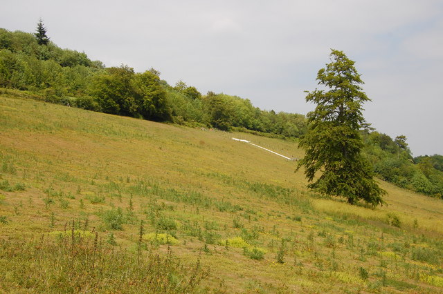
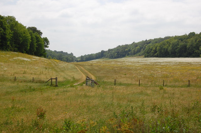
Barnett's Wood, located in Kent, England, is a beautiful and diverse woodland area that spans approximately 100 acres. This ancient woodland has a rich history and is a popular destination for nature enthusiasts and hikers.

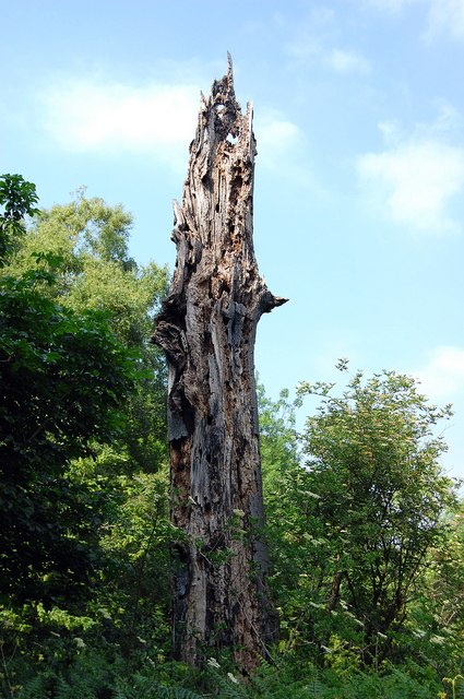
The wood is predominantly composed of oak and birch trees, which create a dense canopy that filters sunlight, creating a tranquil and shaded environment. The forest floor is covered with a thick carpet of moss, ferns, and wildflowers, adding to the charm and beauty of the woodland.

Barnett's Wood is home to a variety of wildlife species, including deer, foxes, badgers, and numerous bird species. It provides a vital habitat for these animals, offering shelter and sustenance throughout the year. Visitors may also encounter smaller creatures such as squirrels, rabbits, and a variety of insects.

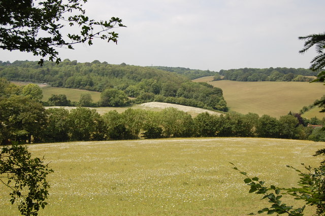
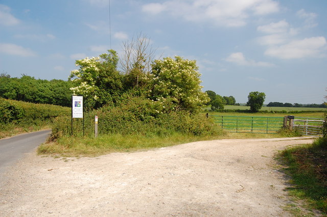
The wood is intersected by several walking trails, allowing visitors to explore the area at their own pace. These trails meander through the woodland, offering glimpses of picturesque ponds, ancient trees, and hidden clearings. The peaceful atmosphere and the sounds of birdsong create a serene ambiance, making it an ideal destination for relaxation and reconnecting with nature.

Barnett's Wood is managed by a local conservation organization, which ensures the preservation and protection of the woodland. The organization organizes regular events and activities, such as guided nature walks and educational programs, to promote awareness and appreciation for the natural environment.

Overall, Barnett's Wood in Kent is a captivating and well-preserved woodland, offering a haven for both wildlife and visitors seeking tranquility and natural beauty.

If you have any feedback on the listing, please let us know in the comments section below.

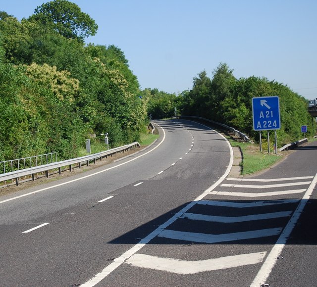
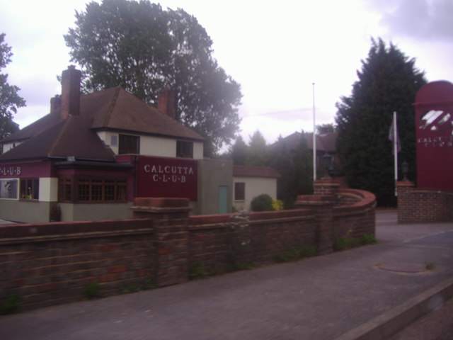
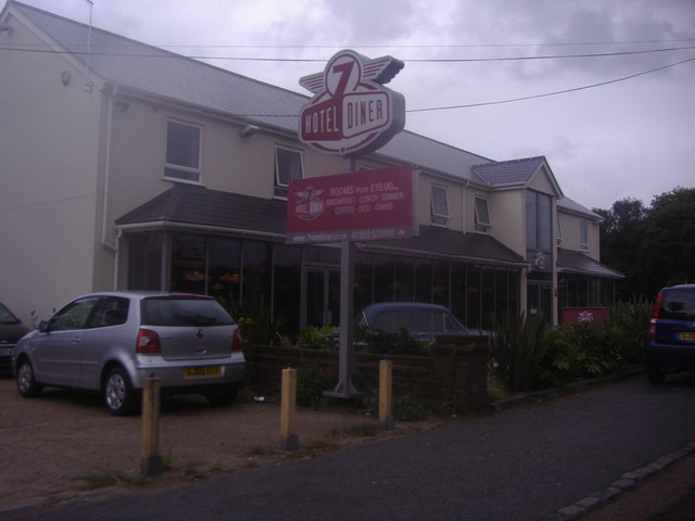
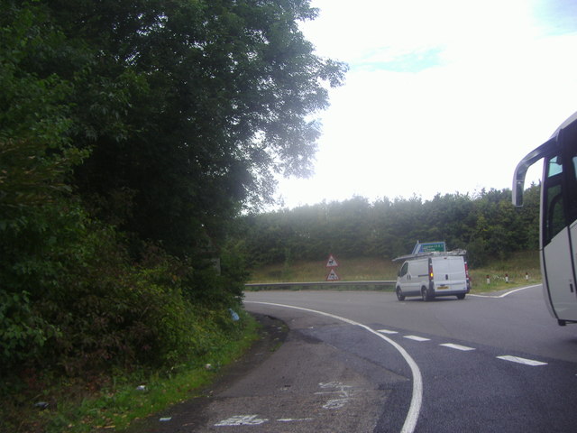
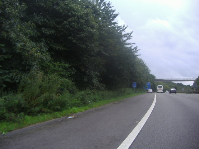
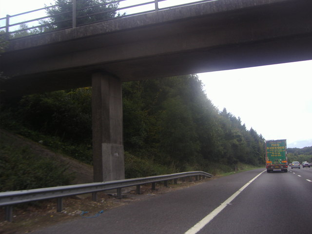
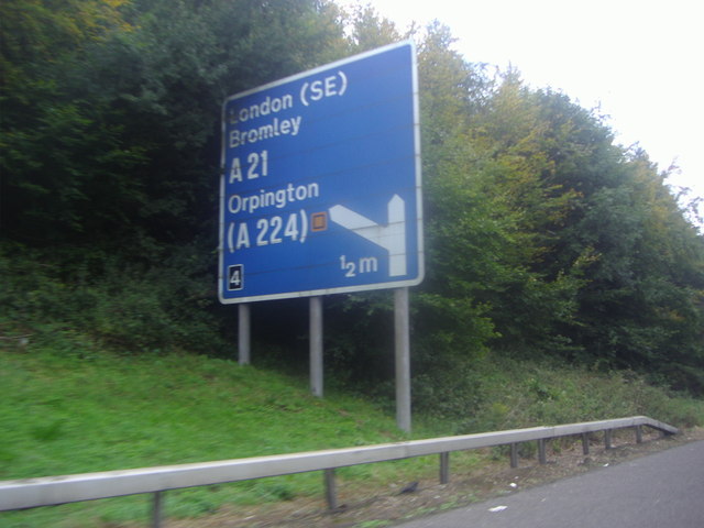
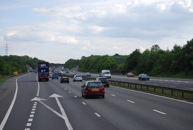
Barnett's Wood Images

Images are sourced within 2km of 51.34117/0.15665046 or Grid Reference TQ5062. Thanks to Geograph Open Source API. All images are credited.

Plaque to Samuel Palmer, artist On house by the side of the River Darent in Shoreham.
Plaque to Samuel Palmer, artist
On house by the side of the River Darent in Shoreham.
Cottages on Darent River,  north of Shoreham Village, Kent
Cottages on Darent River, north of Shoreham Village, Kent
Shoreham Cross Seen from the steep footpath up to Meenfield Wood.
Shoreham Cross
Seen from the steep footpath up to Meenfield Wood.
View from Meenfield Wood Emerging from Meenfield Wood towards Timberden Bottom, the pasture studded with white daisies.
View from Meenfield Wood
Emerging from Meenfield Wood towards Timberden Bottom, the pasture studded with white daisies.
Valley View Taken from the point where the footpath meets Shacklands Road at Timberden Bottom.
Hard to believe how close is the M25.
Valley View
Taken from the point where the footpath meets Shacklands Road at Timberden Bottom. Hard to believe how close is the M25.
Timberden Farm There should be a good crop of beans in the front garden later in the year.
Timberden Farm
There should be a good crop of beans in the front garden later in the year.
Farm track meets Redmans Lane The track to the right goes to Homewood Farm. The track is also start of the footpath to Dalhanna. The sign is advertising Castle Farm which lies in the valley ahead.
Farm track meets Redmans Lane
The track to the right goes to Homewood Farm. The track is also start of the footpath to Dalhanna. The sign is advertising Castle Farm which lies in the valley ahead.
Dead Tree, Beechen Wood The footpath through Beechen Wood passes by this dead tree which has obviously been much pecked by woodpeckers!
Dead Tree, Beechen Wood
The footpath through Beechen Wood passes by this dead tree which has obviously been much pecked by woodpeckers!
Junction 4, M25 The M25 is a 117 mile orbital motorway that encircles London. It was constructed between 1975 and 1986.
The motorway is not a continuous loop as a section to the East of London at The Dartford Crossing is an A-Road.
Wikipedia; <span class="nowrap"><a title="http://en.wikipedia.org/wiki/M25_motorway" rel="nofollow ugc noopener" href="http://en.wikipedia.org/wiki/M25_motorway">Link</a><img style="margin-left:2px;" alt="External link" title="External link - shift click to open in new window" src="https://s1.geograph.org.uk/img/external.png" width="10" height="10"/></span>
Junction 4, M25
The M25 is a 117 mile orbital motorway that encircles London. It was constructed between 1975 and 1986. The motorway is not a continuous loop as a section to the East of London at The Dartford Crossing is an A-Road. Wikipedia; LinkExternal link
The Calcutta Club, London Road Halstead
7 Hotel and Diner, London Road Halstead This seems to have been built within the last year or so before I took it in 2011
7 Hotel and Diner, London Road Halstead
This seems to have been built within the last year or so before I took it in 2011
Exit 4 roundabout on the M25 Leading to Badgers Mount on the left turnoff
Exit 4 roundabout on the M25
Leading to Badgers Mount on the left turnoff
The M25 sliproad to Badgers Mount
Footbridge over the M25, Badgers Mount
Sign for the junction 4 exit on the M25
Junction 4, M25 The M25 is a 117 mile orbital motorway that encircles London. It was constructed between 1975 and 1986.
The motorway is not a continuous loop as a section to the East of London at The Dartford Crossing is an A-Road.
Wikipedia; <span class="nowrap"><a title="http://en.wikipedia.org/wiki/M25_motorway" rel="nofollow ugc noopener" href="http://en.wikipedia.org/wiki/M25_motorway">Link</a><img style="margin-left:2px;" alt="External link" title="External link - shift click to open in new window" src="https://s1.geograph.org.uk/img/external.png" width="10" height="10"/></span>
Junction 4, M25
The M25 is a 117 mile orbital motorway that encircles London. It was constructed between 1975 and 1986. The motorway is not a continuous loop as a section to the East of London at The Dartford Crossing is an A-Road. Wikipedia; LinkExternal link
Footbridge over the M25 The M25 is a 117 mile orbital motorway that encircles London. It was constructed between 1975 and 1986.
The motorway is not a continuous loop as a section to the East of London at The Dartford Crossing is an A-Road.
Wikipedia; <span class="nowrap"><a title="http://en.wikipedia.org/wiki/M25_motorway" rel="nofollow ugc noopener" href="http://en.wikipedia.org/wiki/M25_motorway">Link</a><img style="margin-left:2px;" alt="External link" title="External link - shift click to open in new window" src="https://s1.geograph.org.uk/img/external.png" width="10" height="10"/></span>
Footbridge over the M25
The M25 is a 117 mile orbital motorway that encircles London. It was constructed between 1975 and 1986. The motorway is not a continuous loop as a section to the East of London at The Dartford Crossing is an A-Road. Wikipedia; LinkExternal link
Show me another place!

Barnett's Wood is located at Grid Ref: TQ5062 (Lat: 51.34117, Lng: 0.15665046)

Administrative County: Kent

District: Sevenoaks

Police Authority: Kent

What 3 Words

///strict.radar.switch. Near Otford, Kent

Related Wikis

Badgers Mount

Badgers Mount is a village and civil parish in the Sevenoaks District of Kent, England It is located 3.6 miles south east of Orpington and 5.6 miles north...

Shoreham Memorial Cross

The Shoreham Memorial Cross is a Christian cross hill figure carved into a chalk escarpment above the village of Shoreham, Kent. The concept of the cross...

1934 London, Scottish & Provincial Airways Airspeed Courier crash

On 29 September 1934, an Airspeed Courier of London, Scottish & Provincial Airways Ltd crashed just north of Shoreham, Kent. The aircraft was on a scheduled...

Shoreham, Kent

Shoreham is a village and civil parish in the Sevenoaks District of Kent, England. It is located 5.2 miles north of Sevenoaks. The probable derivation...

Well Hill

Well Hill is a small rural hamlet within the civil parish of Shoreham in the Sevenoaks District of Kent, England. It lies 3 miles south east of Orpington...

Shoreham Aircraft Museum

The Shoreham Aircraft Museum is located in the village of Shoreham near Sevenoaks in Kent, England, on the south-east edge of Greater London. It was founded...

Halstead, Kent

Halstead is a village and civil parish in the Sevenoaks District of Kent, England. It is located 4.7 miles south east of Orpington & 6.1 miles north west...

Knockholt railway station

Knockholt railway station is on the South Eastern Main Line, located in the London Borough of Bromley, Greater London. It is 16 miles 44 chains (26.6 km...

Nearby Amenities

Located within 500m of 51.34117,0.15665046
Motorway Junction
Hewitts
Ref: 4
Lat/Long: 51.3419766/0.1560653
The data included in this document is from www.openstreetmap.org. The data is made available under ODbL.

Have you been to Barnett's Wood?

Leave your review of Barnett's Wood below (or comments, questions and feedback).