Bog Shaw

Wood, Forest in Sussex Wealden

England

Bog Shaw

Woodbank at Rowlands Wood This historic wooded bank, with many mature beech and hornbeam trees forms the southern boundary of Rowlands Wood, and also bounds the site of the Butterfly Conservation Nature Reserve where traditional coppicing and heathland management takes place.
Woodbank at Rowlands Wood Credit: David Saunders

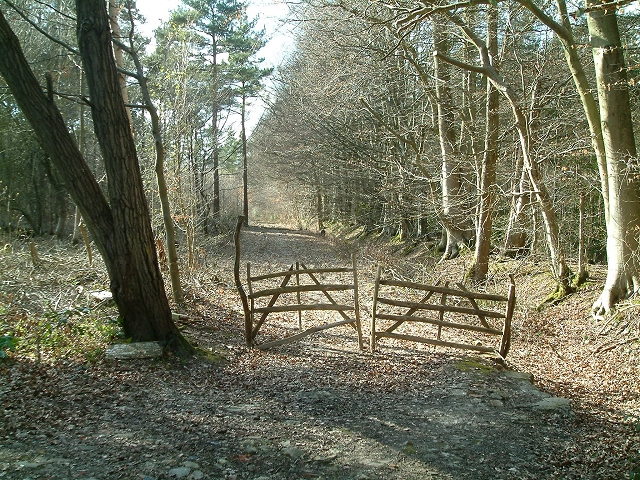
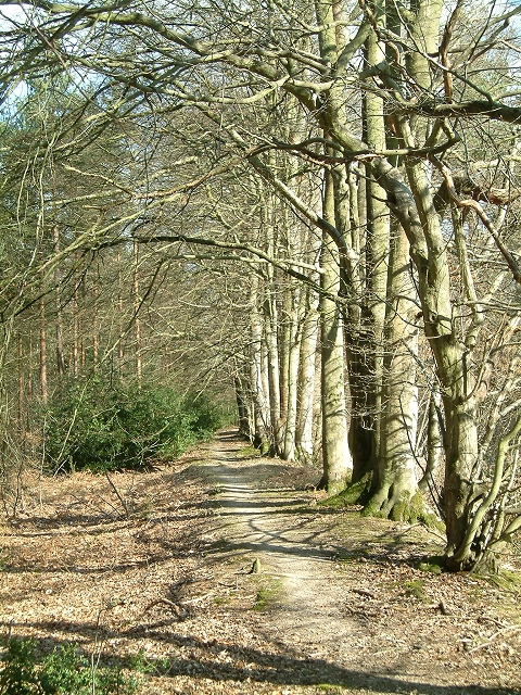
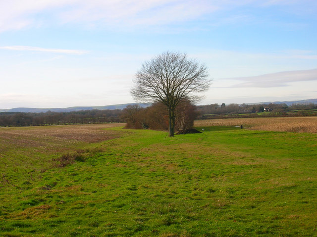
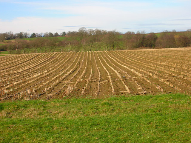
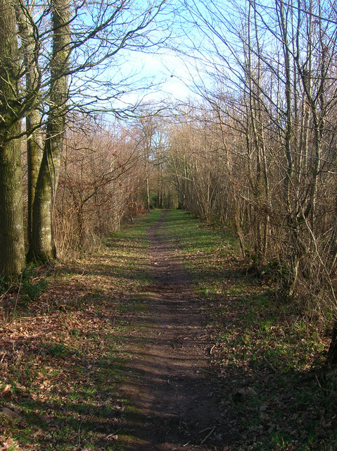
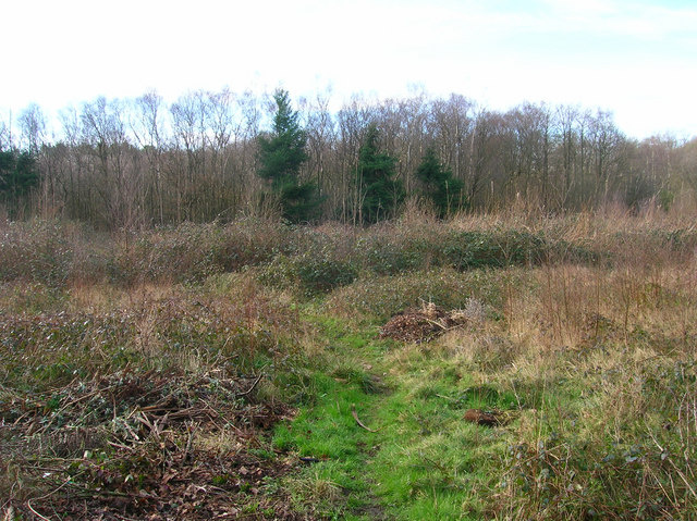
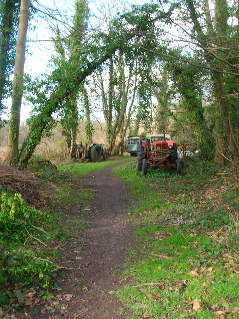
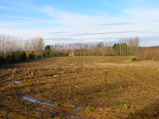
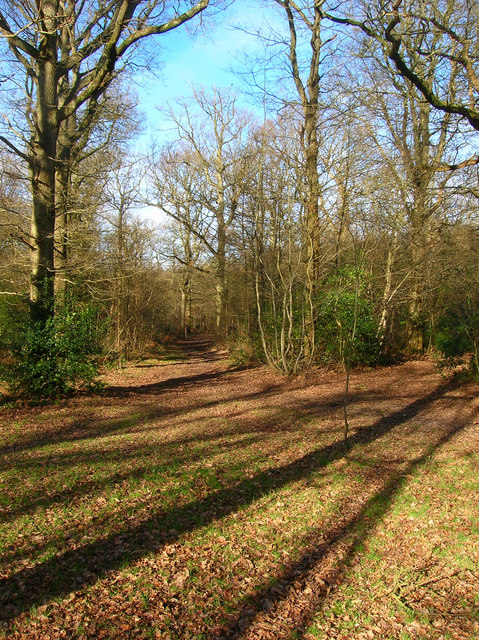
Bog Shaw is a picturesque woodland located in Sussex, England. It covers an area of approximately 100 acres and is known for its dense canopy of trees, including oak, ash, and beech. The forest floor is covered with a thick layer of moss and ferns, creating a lush and green landscape.

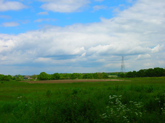
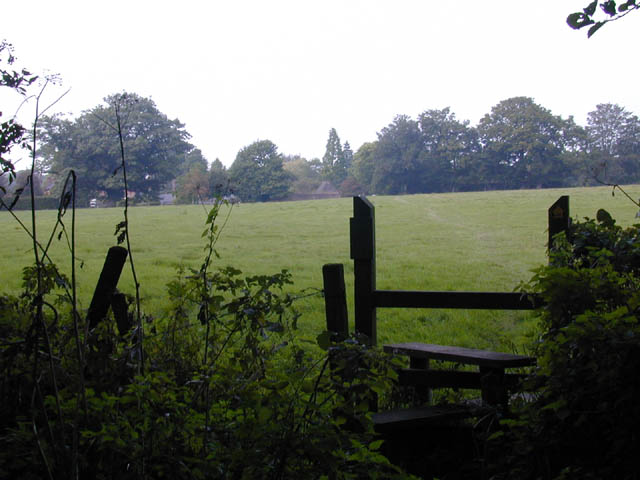
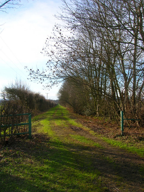
Bog Shaw is home to a variety of wildlife, including deer, foxes, and a wide range of bird species. Visitors to the woodland can enjoy peaceful walks along the well-maintained paths, which wind through the trees and offer glimpses of the surrounding countryside. The forest is also popular with nature enthusiasts and birdwatchers, who come to spot rare species that make their home in the woodland.

The tranquil atmosphere of Bog Shaw makes it a popular destination for those looking to escape the hustle and bustle of everyday life and connect with nature. The woodland is also steeped in history, with some parts dating back hundreds of years. Overall, Bog Shaw is a beautiful and serene destination that offers a peaceful retreat for visitors looking to immerse themselves in the natural beauty of Sussex.

If you have any feedback on the listing, please let us know in the comments section below.

Bog Shaw Images

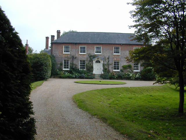
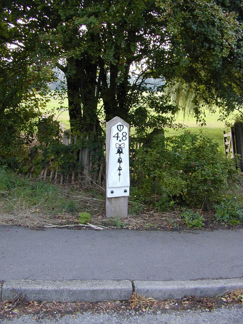
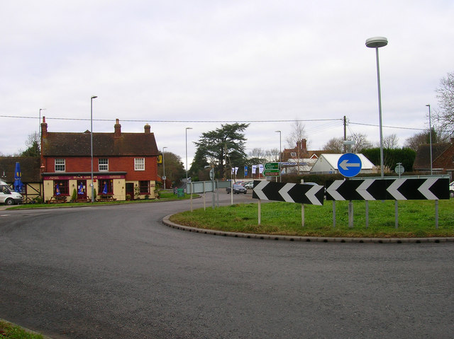
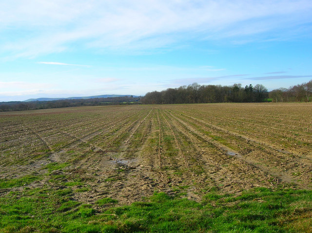
Images are sourced within 2km of 50.921714/0.13683907 or Grid Reference TQ5015. Thanks to Geograph Open Source API. All images are credited.

Woodbank at Rowlands Wood This historic wooded bank, with many mature beech and hornbeam trees forms the southern boundary of Rowlands Wood, and also bounds the site of the Butterfly Conservation Nature Reserve where traditional coppicing and heathland management takes place.
Woodbank at Rowlands Wood
This historic wooded bank, with many mature beech and hornbeam trees forms the southern boundary of Rowlands Wood, and also bounds the site of the Butterfly Conservation Nature Reserve where traditional coppicing and heathland management takes place.
Line of Trees on historic Boundary bank Old Beech and Hornbeam trees on woodbank at Rowlands Wood, Park Corner.
Line of Trees on historic Boundary bank
Old Beech and Hornbeam trees on woodbank at Rowlands Wood, Park Corner.
Communications Mast near Laughton The building is Walls Farm. Taken from the track that links Laughton Common with Whitesmith.
Communications Mast near Laughton
The building is Walls Farm. Taken from the track that links Laughton Common with Whitesmith.
Footpath from East Hoathly to Old Whyly This photo was taken on the Thomas Turner walk, which is a series of footpaths around East Hoathly. The roof of Old Whyly can be seen in the distance.
Footpath from East Hoathly to Old Whyly
This photo was taken on the Thomas Turner walk, which is a series of footpaths around East Hoathly. The roof of Old Whyly can be seen in the distance.
Old Whyly Old Whyly is a 17th Century manor house. It is mentioned numerous times in The Diary of Thomas Turner 1754-1765, in East Hoathly. Thomas Turner frequently visited Jeremiah French, the tenant farmer, at Whyly mostly for evenings playing cards and heavy drinking. He invariably returned home inebriated and on several occasions his wife had to be carried home on a gate!
Old Whyly
Old Whyly is a 17th Century manor house. It is mentioned numerous times in The Diary of Thomas Turner 1754-1765, in East Hoathly. Thomas Turner frequently visited Jeremiah French, the tenant farmer, at Whyly mostly for evenings playing cards and heavy drinking. He invariably returned home inebriated and on several occasions his wife had to be carried home on a gate!
Mile marker East Hoathly 48 Miles to Bow Bells
Mile marker East Hoathly
48 Miles to Bow Bells
Black Lion Inn Old coaching inn on the A22/B2192 crossroads. The road to Uckfield is straight ahead that to Lewes is to the left.
Black Lion Inn
Old coaching inn on the A22/B2192 crossroads. The road to Uckfield is straight ahead that to Lewes is to the left.
Looking Towards Bog Shaw Taken from the footpath that links Halland with Rowlands Wood. The South Downs can be seen in the background.
Looking Towards Bog Shaw
Taken from the footpath that links Halland with Rowlands Wood. The South Downs can be seen in the background.
Footpath to Shortgate Taken from its junction with the Halland-Rowlands Wood footpath.
Footpath to Shortgate
Taken from its junction with the Halland-Rowlands Wood footpath.
Footpath to Laughton Park Farm The footpath follows an old lane between two field boundaries on its way to Halland Park Farm.
Footpath to Laughton Park Farm
The footpath follows an old lane between two field boundaries on its way to Halland Park Farm.
Field of Stalks near Halland Park Farm Looking back towards Halland, the trees to the right hide the pond in the next grid square. The building on the hill is Hartfield Farm.
Field of Stalks near Halland Park Farm
Looking back towards Halland, the trees to the right hide the pond in the next grid square. The building on the hill is Hartfield Farm.
Moat, Moat Wood The remnants of an medieval settlement possibly a farmstead or a hunting lodge. The island is to the right of the water. Moat Wood is joint owned by East Hoathly parish council and the Woodland Trust.
Moat, Moat Wood
The remnants of an medieval settlement possibly a farmstead or a hunting lodge. The island is to the right of the water. Moat Wood is joint owned by East Hoathly parish council and the Woodland Trust.
Footpath, Moat Wood Taken from the entrance near the A22. Moat Wood is owned jointly by East Hoathly parish council and the Woodland Trust. Its wildlife includes Black Adders and Nightingales.
Footpath, Moat Wood
Taken from the entrance near the A22. Moat Wood is owned jointly by East Hoathly parish council and the Woodland Trust. Its wildlife includes Black Adders and Nightingales.
Moat Wood This view is from the footpath near to the East Hoathly entrance.
Moat Wood
This view is from the footpath near to the East Hoathly entrance.
Tractor's Graveyard There are a couple more vehicles out of shot lining the footpath from East Hoathly into Moat Wood.
Tractor's Graveyard
There are a couple more vehicles out of shot lining the footpath from East Hoathly into Moat Wood.
Ploughed Field near Godfrey's Cottage The A22 is behind the bushes to the right of the picture.
Ploughed Field near Godfrey's Cottage
The A22 is behind the bushes to the right of the picture.
Moat Wood Jointly owned by East Hoathly parish council and the Woodland Trust and home to such wildlife as Black Adders and Nightingales. This part of the open access wood heads north westwards away from the moat.
Moat Wood
Jointly owned by East Hoathly parish council and the Woodland Trust and home to such wildlife as Black Adders and Nightingales. This part of the open access wood heads north westwards away from the moat.
Derelict Depot Currently fenced off awaiting development. The footpath hugs the back of the depot then turns south to the left of the photographer.
Derelict Depot
Currently fenced off awaiting development. The footpath hugs the back of the depot then turns south to the left of the photographer.
Show me another place!

Bog Shaw is located at Grid Ref: TQ5015 (Lat: 50.921714, Lng: 0.13683907)

Administrative County: East Sussex

District: Wealden

Police Authority: Sussex

What 3 Words

///shredding.permanent.armrests. Near Uckfield, East Sussex

Nearby Locations

Bog Shaw

Related Wikis

Park Corner Heath

Park Corner Heath is a 2.9-hectare (7.2-acre) biological Site of Special Scientific Interest about 1.2 miles (2 km) south of East Hoathly, adjacent to...

East Hoathly with Halland

East Hoathly with Halland is a civil parish in the Wealden District of East Sussex, England. The parish contains the two villages of East Hoathly and...

Bentley Wildfowl and Motor Museum

The Bentley Wildfowl and Motor Museum was a visitor attraction near Halland, East Sussex, England. As of October 2018, it is closed to the public. ��2...

Laughton, East Sussex

Laughton is a village and civil parish in the Wealden district of East Sussex, England. The village is located five miles (8 km) east of Lewes, at a junction...

Nearby Amenities

Located within 500m of 50.921714,0.13683907
The data included in this document is from www.openstreetmap.org. The data is made available under ODbL.

Have you been to Bog Shaw?

Leave your review of Bog Shaw below (or comments, questions and feedback).