Farcet
Settlement in Huntingdonshire Huntingdonshire
England
Farcet
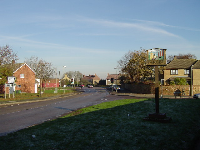
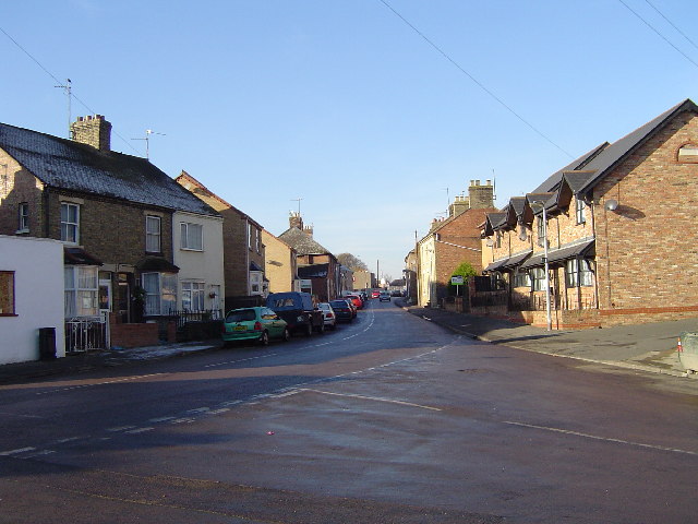
Farcet is a small village located in the district of Huntingdonshire, Cambridgeshire, England. Situated approximately 4 miles southeast of the town of Peterborough, Farcet is a rural community with a population of around 2,500 residents.
The village is situated along the A15 road, which provides easy access to Peterborough and other nearby towns. Farcet is also well-connected by public transportation, with regular bus services available to Peterborough and surrounding areas.
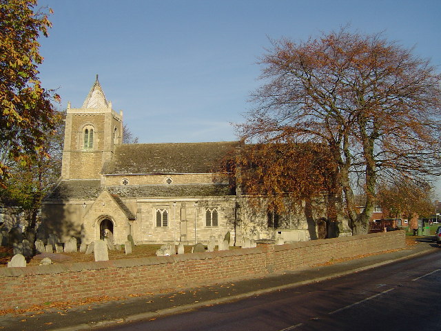
Farcet boasts a rich history, with evidence of human settlement dating back to the Roman era. The village is home to several historic buildings and landmarks, including the Grade I listed St. Mary's Church, which dates back to the 12th century. The church features stunning architecture and serves as a focal point for the local community.
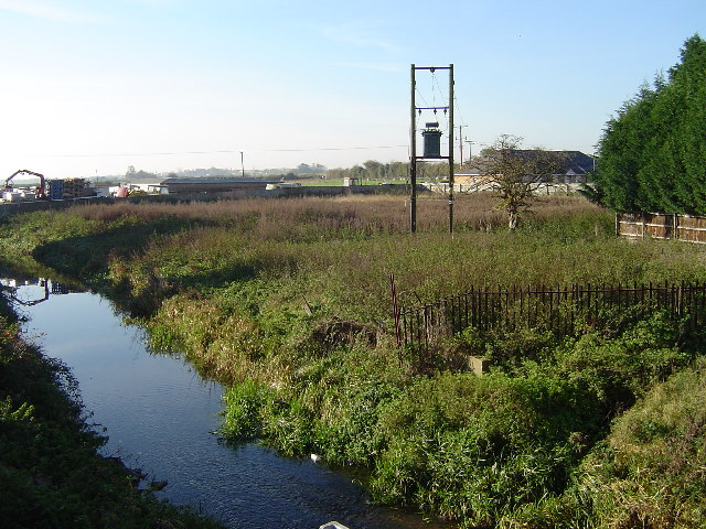
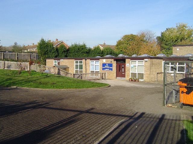
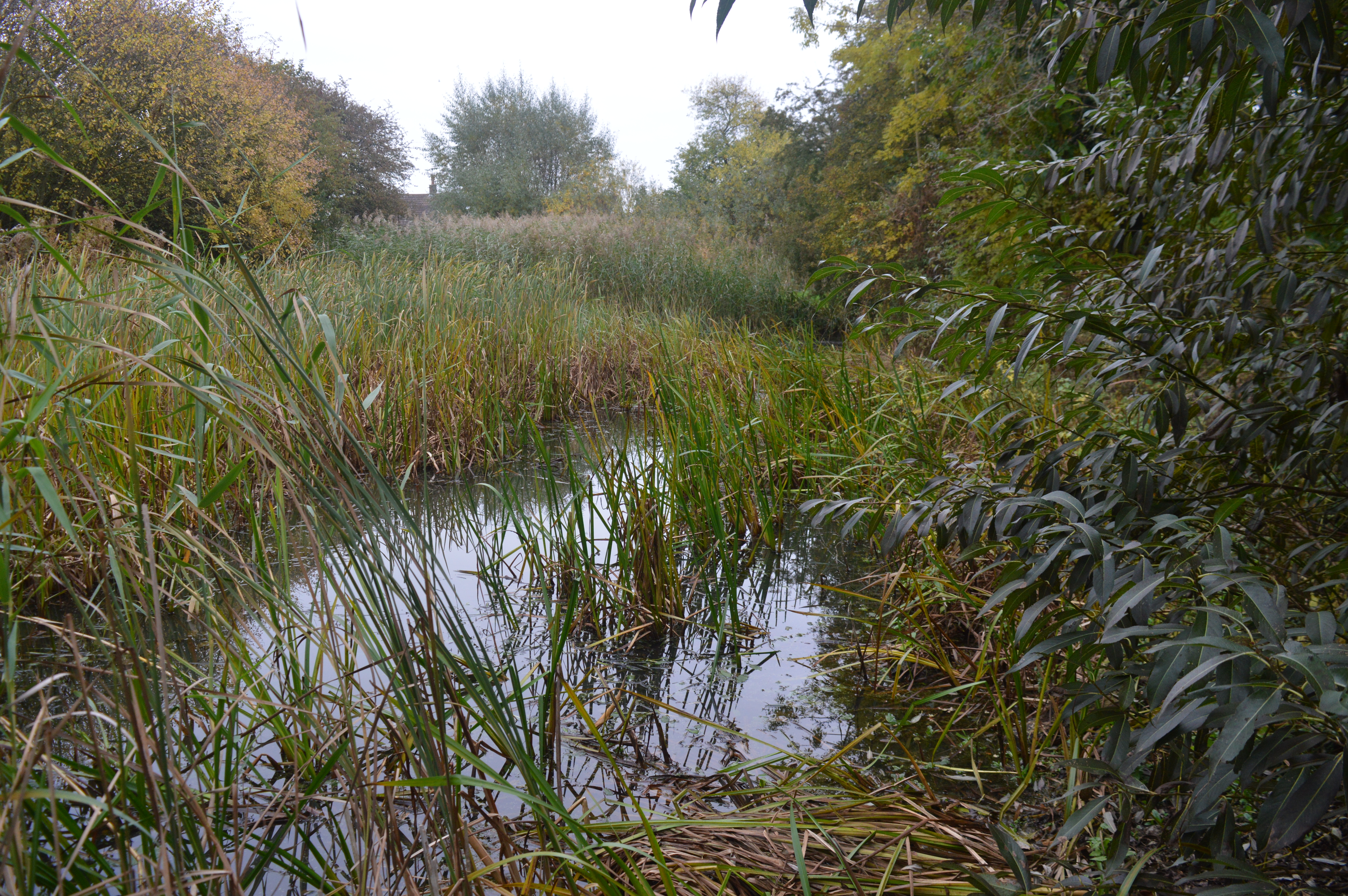
In terms of amenities, Farcet offers a range of facilities and services for its residents. These include a primary school, a village hall, a local shop, and a pub. The village also benefits from being surrounded by beautiful countryside, offering opportunities for outdoor activities such as walking and cycling.
Farcet has a strong sense of community, with various events and activities organized throughout the year. These include the Farcet Festival, which brings locals together to celebrate and enjoy live music, food, and entertainment.
Overall, Farcet is a charming and picturesque village that offers a peaceful and close-knit community, while still providing easy access to nearby towns and amenities.
If you have any feedback on the listing, please let us know in the comments section below.
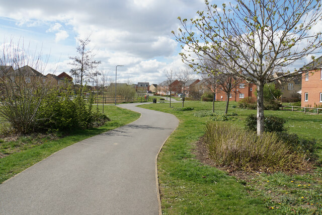
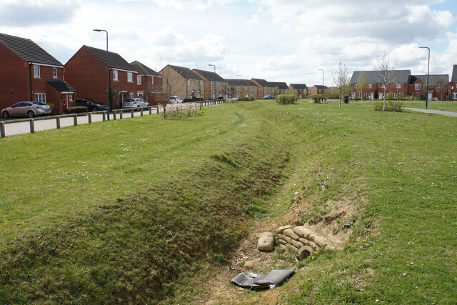
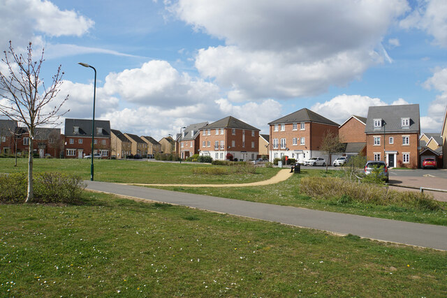
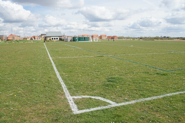
Farcet Images
Images are sourced within 2km of 52.535975/-0.226253 or Grid Reference TL2094. Thanks to Geograph Open Source API. All images are credited.


Farcet is located at Grid Ref: TL2094 (Lat: 52.535975, Lng: -0.226253)
Administrative County: Cambridgeshire
District: Huntingdonshire
Police Authority: Cambridgeshire
What 3 Words
///flop.respond.empty. Near Yaxley, Cambridgeshire
Nearby Locations
Related Wikis
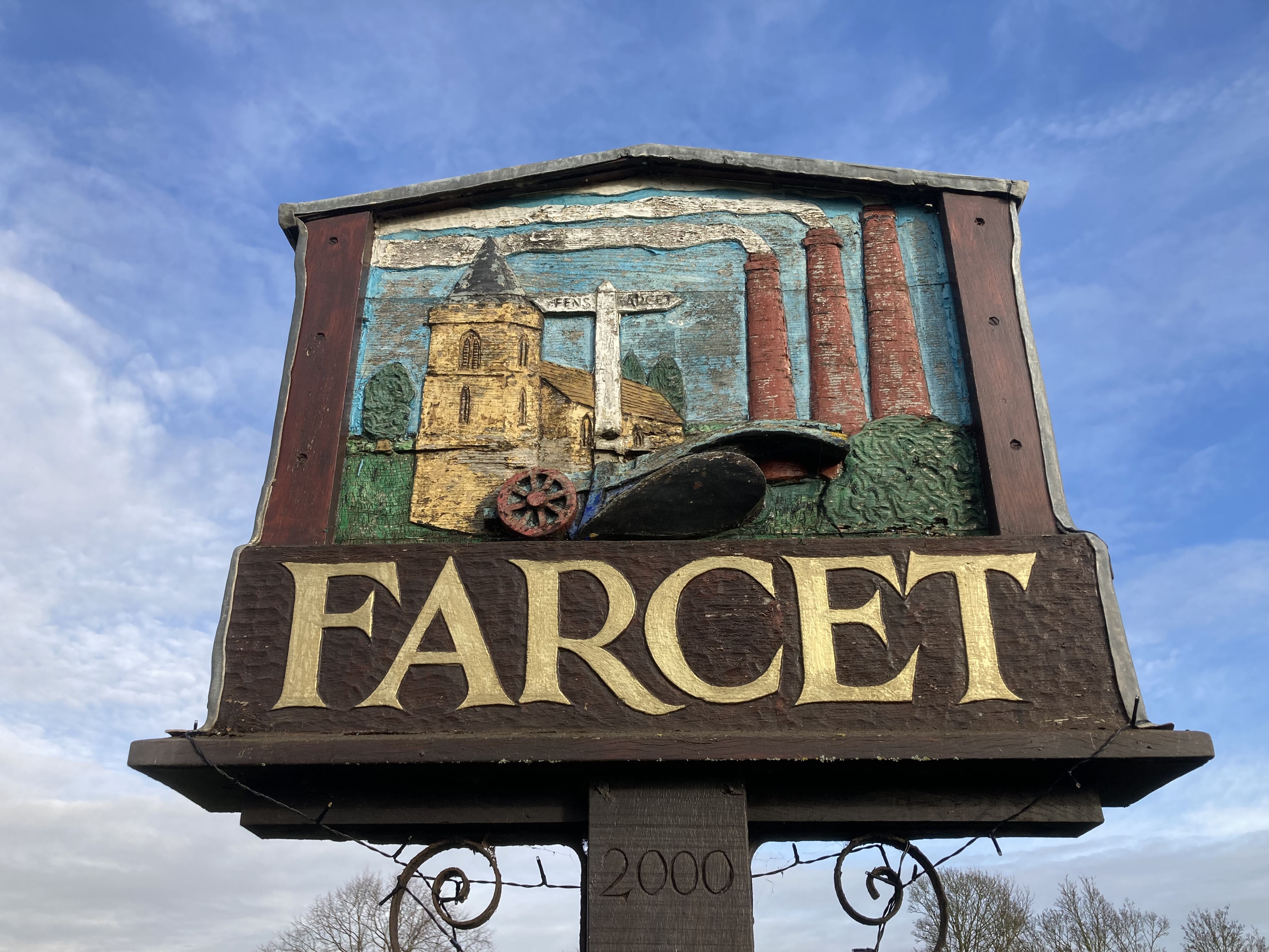
Farcet
Farcet is a village and civil parish in Cambridgeshire, England. Farcet lies approximately 2 miles (3 km) south of Peterborough city centre, between Yaxley...

Stanground Academy
Stanground Academy is a co-educational academy school and specialist college for sport, in the city of Peterborough in the United Kingdom. As of 20 October...
Stanground Newt Ponds
Stanground Newt Ponds is a 0.8-hectare (2.0-acre) nature reserve in Peterborough in Cambridgeshire. It is managed by the Wildlife Trust for Bedfordshire...
Old Fletton Urban District
Old Fletton was an urban district in the county of Huntingdonshire and then (from 1965) Huntingdon and Peterborough. The urban district was abolished in...

Yaxley and Farcet railway station
Yaxley and Farcet railway station is a former station in Yaxley, Cambridgeshire, just south of Peterborough. == History == The station was opened by the...

Stanground
Stanground is a residential area of Peterborough, in the ceremonial county of Cambridgeshire, England. For electoral purposes, it comprises the Stanground...
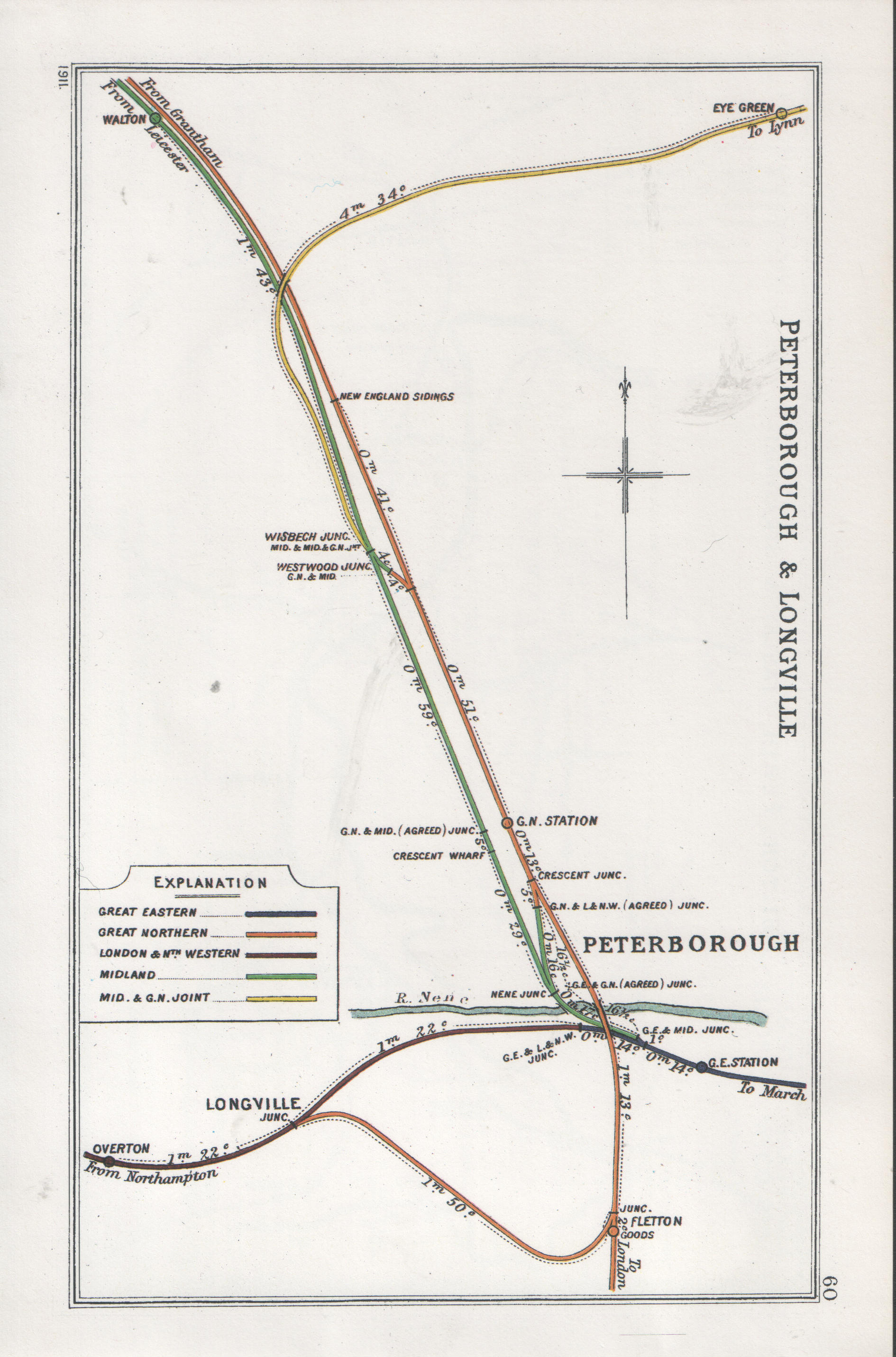
Fletton railway station
Fletton railway station was a railway station in Fletton, Cambridgeshire just south of Peterborough. It was once home to an extensive goods yard. ��2...

Serpentine Green
Serpentine Green is a shopping centre that opened 8 February 1999 in the Hampton Hargate district of Southern Peterborough in England. It is named after...
Nearby Amenities
Located within 500m of 52.535975,-0.226253Have you been to Farcet?
Leave your review of Farcet below (or comments, questions and feedback).