Hayfield Plantation

Wood, Forest in Cambridgeshire South Cambridgeshire

England

Hayfield Plantation

College Farm, Pampisford, Cambridgeshire
College Farm, Pampisford, Cambridgeshire Credit: Robert Edwards

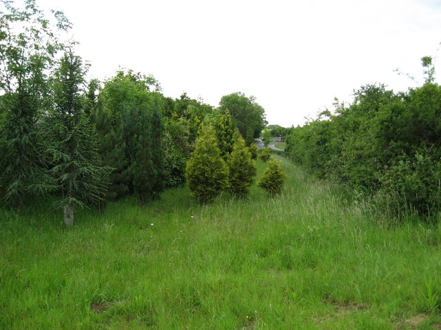
Hayfield Plantation is a picturesque woodland area located in Cambridgeshire, England. Situated in the heart of the county, this plantation covers a vast area of dense forest, making it an ideal destination for nature lovers and outdoor enthusiasts.

The woodland of Hayfield Plantation is primarily composed of various species of trees, including oak, beech, and birch. The trees reach impressive heights and provide a lush canopy that offers shade and shelter for a diverse range of wildlife. The forest floor is covered in a thick layer of moss, creating a soft and serene environment.

The plantation is home to an array of flora and fauna. The dense vegetation provides a rich habitat for numerous bird species, such as woodpeckers, owls, and various songbirds. Small mammals such as squirrels, rabbits, and hedgehogs can also be found within the woodland.

Walking trails are scattered throughout Hayfield Plantation, allowing visitors to explore the natural beauty and tranquility of the area. These trails wind through the forest, offering glimpses of stunning landscapes, babbling brooks, and hidden clearings. Many of these pathways are well-maintained, making them accessible to visitors of all ages and abilities.

Hayfield Plantation is a popular destination for outdoor activities such as hiking, birdwatching, and photography. The peaceful ambiance and breathtaking surroundings make it a perfect spot for nature enthusiasts to connect with the natural world. Whether visitors are seeking solitude, adventure, or simply a break from the hustle and bustle of everyday life, Hayfield Plantation offers a serene escape into the heart of Cambridgeshire's woodlands.

If you have any feedback on the listing, please let us know in the comments section below.

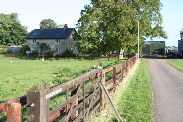
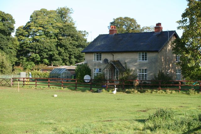
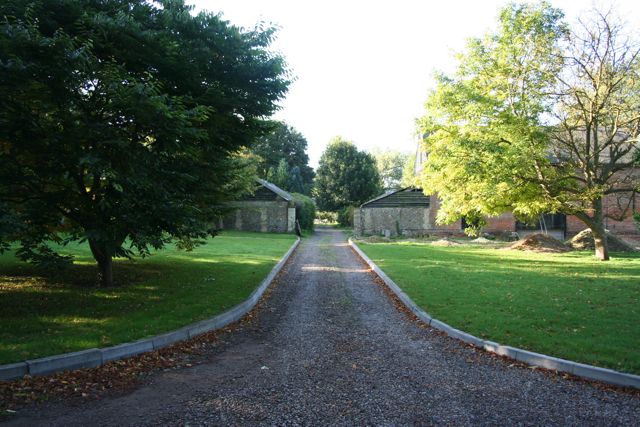
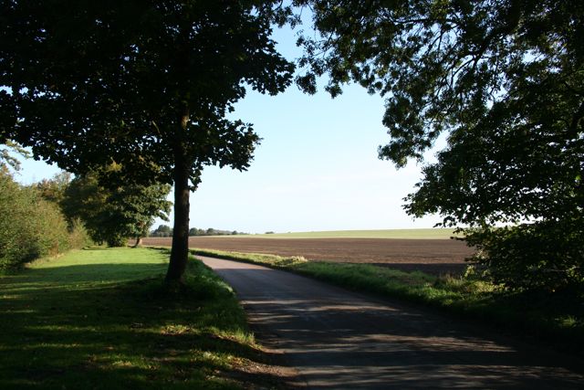
Hayfield Plantation Images

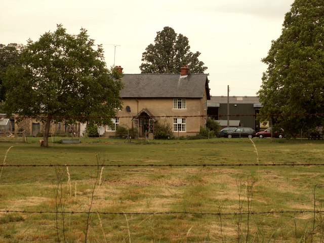
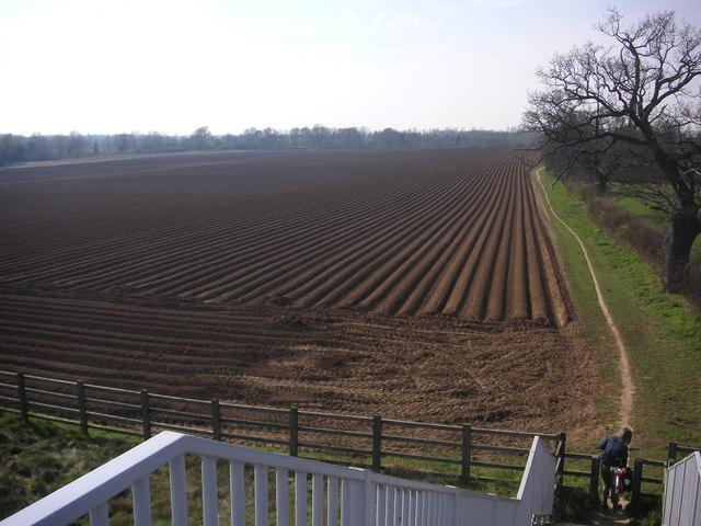
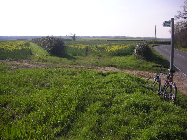
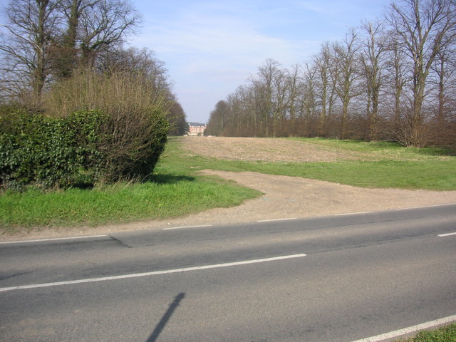
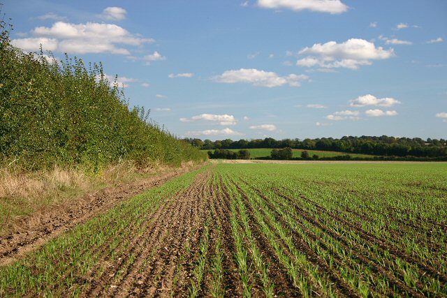
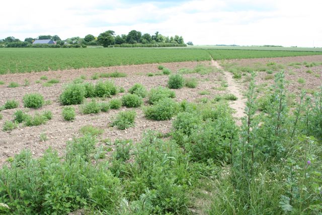
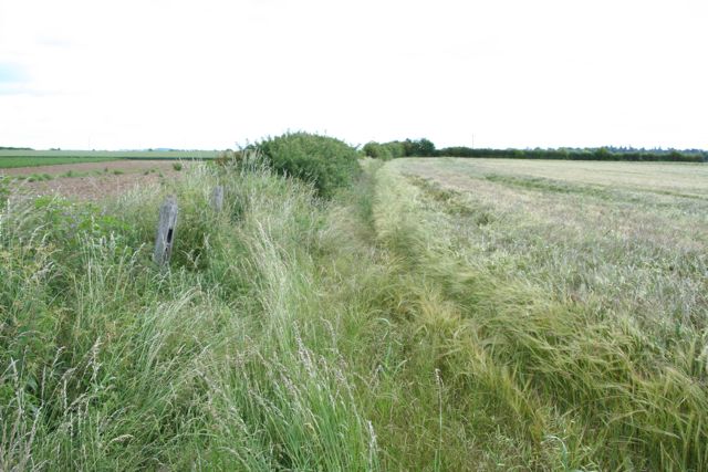
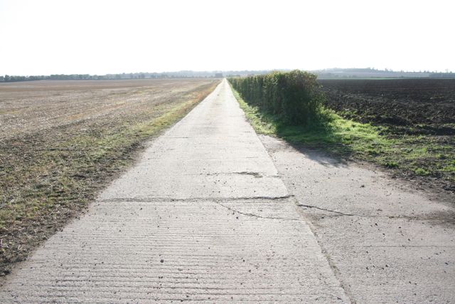
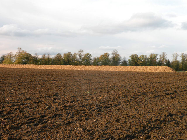
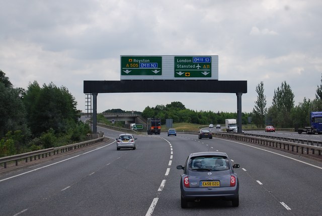
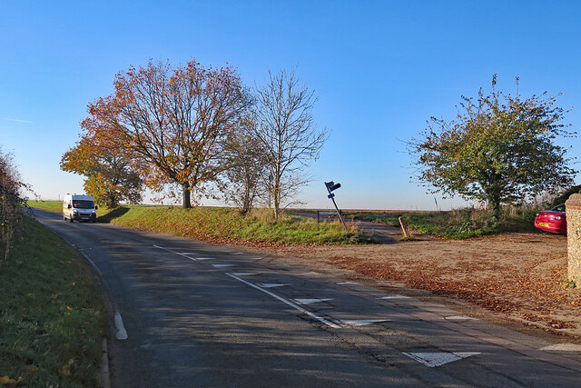
Images are sourced within 2km of 52.119071/0.18900925 or Grid Reference TL4949. Thanks to Geograph Open Source API. All images are credited.

College Farm, Pampisford, Cambridgeshire
Two Acre Plantation Two Acre Plantation viewed from footbridge over A11
Two Acre Plantation
Two Acre Plantation viewed from footbridge over A11
Footpath diverging from Sawston Road Footpath diverging from Sawston Road near Church Farm. At the horizon there are the buildings of Sawston visible.
Footpath diverging from Sawston Road
Footpath diverging from Sawston Road near Church Farm. At the horizon there are the buildings of Sawston visible.
Babraham Hall viewed from Sawston Road Babraham Hall viewed from Sawston Road near Church Farm
Babraham Hall viewed from Sawston Road
Babraham Hall viewed from Sawston Road near Church Farm
Course of old railway Course of the old Cambridge to Haverhill railway line (part of the 'Stour Valley Line') near Pampisford. The site of Pampisford station is now lost under the widened A11 trunk road.
Course of old railway
Course of the old Cambridge to Haverhill railway line (part of the 'Stour Valley Line') near Pampisford. The site of Pampisford station is now lost under the widened A11 trunk road.
Field at Pampisford A farm track runs along the left side of the hedgerow, leading to farmland between the A505 and the A11.
Field at Pampisford
A farm track runs along the left side of the hedgerow, leading to farmland between the A505 and the A11.
Track from Babraham to Sawston At this point it crosses a dismantled railway.
Track from Babraham to Sawston
At this point it crosses a dismantled railway.
Track from Babraham to Sawston Showing the line of the dismantled railway.
Track from Babraham to Sawston
Showing the line of the dismantled railway.
College Farm
College Farm
College Farm
College Farm
Home Farm
Home Farm
The Road to Babraham near Home Farm Peaceful and calm fields yet just yards from the busy A505 and A11
The Road to Babraham near Home Farm
Peaceful and calm fields yet just yards from the busy A505 and A11
Straight concrete farm track at Pampisford Looking more like the air strip at nearby Duxford than a farm track.
Straight concrete farm track at Pampisford
Looking more like the air strip at nearby Duxford than a farm track.
The Great Wall of Sugar-Beet
A11 / A505 junction The A505 carries traffic to the M11 north, the A11 goes to the M11 south.
A11 / A505 junction
The A505 carries traffic to the M11 north, the A11 goes to the M11 south.
A505 bridge over the A11
Bridge over the A11
Bridge over the A11
Babraham: at the corner of Rowley Lane The skew-whiff fingerpost points along Rowley Lane, a track to Stapleford. The van is coming in to Babraham from Sawston or Pampisford.
Babraham: at the corner of Rowley Lane
The skew-whiff fingerpost points along Rowley Lane, a track to Stapleford. The van is coming in to Babraham from Sawston or Pampisford.
Show me another place!

Hayfield Plantation is located at Grid Ref: TL4949 (Lat: 52.119071, Lng: 0.18900925)

Administrative County: Cambridgeshire

District: South Cambridgeshire

Police Authority: Cambridgeshire

What 3 Words

///wounds.commoners.reforming. Near Sawston, Cambridgeshire

Nearby Locations

Hayfield Plantation

Related Wikis

Pampisford

Pampisford is a village, south of Cambridge, on the A505 road near Sawston, Cambridgeshire, England. The remaining section of a defensive ditch, dug to...
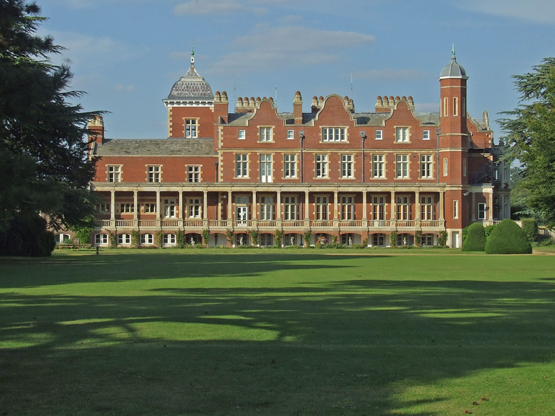
Babraham

Babraham is a village and civil parish in the South Cambridgeshire district of Cambridgeshire, England, about 6 miles (9.7 km) south-east of Cambridge...

Sawston Hall Meadows

Sawston Hall Meadows is a 7.4-hectare (18-acre) biological Site of Special Scientific Interest in Sawston in Cambridgeshire.This site has spring fed peat...
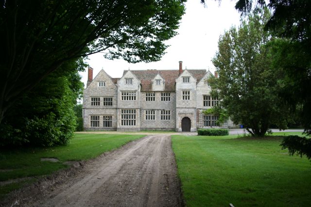
Sawston Hall

Sawston Hall is a Grade I listed Tudor manor house in Sawston, Cambridgeshire dating from the 16th century. It has many fine features, such as the magnificent...

Nearby Amenities

Located within 500m of 52.119071,0.18900925
College Farm
Note Retag: CS #48756035
Place: farm
Lat/Long: 52.1148368/0.1900477
Power: pole
Lat/Long: 52.1181212/0.1945086
Power: pole
Lat/Long: 52.1191523/0.1954906
Power: pole
Lat/Long: 52.1207167/0.1946001
Power: pole
Lat/Long: 52.1184736/0.1958547
Power: pole
Lat/Long: 52.1215961/0.1940798
Power: pole
Lat/Long: 52.1177671/0.1932051
Power: pole
Lat/Long: 52.1225778/0.193554
Power: pole
Lat/Long: 52.1198242/0.1950773
The data included in this document is from www.openstreetmap.org. The data is made available under ODbL.

Have you been to Hayfield Plantation?

Leave your review of Hayfield Plantation below (or comments, questions and feedback).