Coneybury Wood
Wood, Forest in Sussex Wealden
England
Coneybury Wood
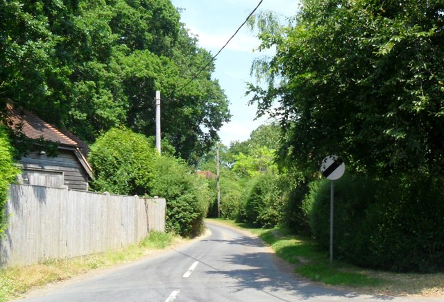
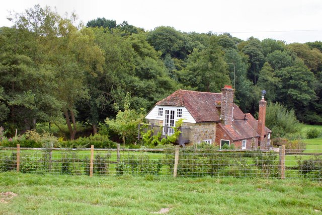
Coneybury Wood is a serene and enchanting forest located in the heart of Sussex, England. Spanning over 200 acres, this ancient woodland is a true haven for nature enthusiasts and outdoor adventurers alike.
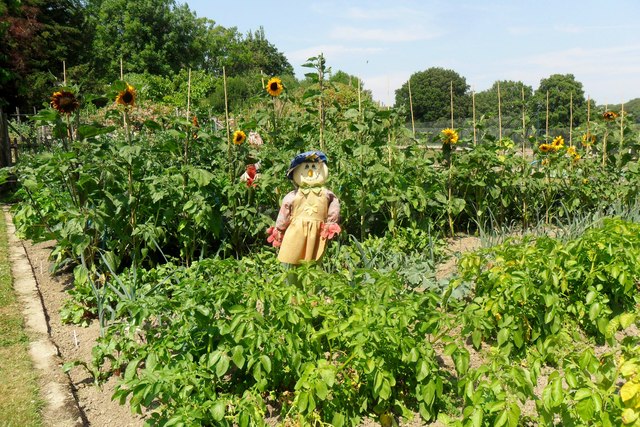
Nestled amidst the rolling hills and picturesque countryside, Coneybury Wood boasts an impressive variety of flora and fauna, making it a designated Site of Special Scientific Interest. The woodland is primarily composed of a mixture of broadleaf trees, including oak, beech, and ash, which provide an inviting and diverse habitat for countless species of birds, mammals, and insects.
As visitors venture into the depths of Coneybury Wood, they are greeted by a network of well-maintained footpaths and trails that wind their way through the forest. These paths offer a chance to explore the woodland's hidden treasures, including a stunning bluebell carpet that emerges each spring, creating a breathtaking spectacle of color and fragrance.
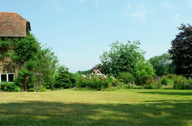
For those seeking a peaceful retreat, Coneybury Wood offers numerous secluded spots where one can sit and immerse themselves in the tranquility of nature. The sounds of birdsong and the gentle rustling of leaves create a soothing symphony, providing a perfect escape from the hustle and bustle of everyday life.
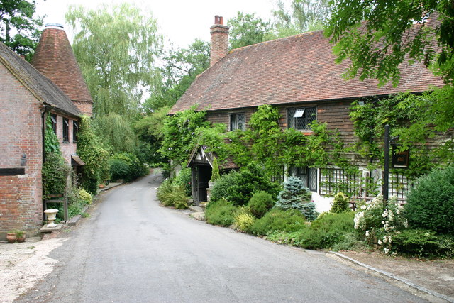
Coneybury Wood is also home to a rich cultural and historical heritage. It is believed to have been a site of human activity since the Neolithic period, with evidence of ancient settlements and burial mounds scattered throughout the woodland. These archaeological remnants serve as a reminder of the deep-rooted connection between humans and nature in this area.
In summary, Coneybury Wood is a captivating and diverse forest that offers visitors a chance to reconnect with nature and experience the beauty of the Sussex countryside. Its rich biodiversity, tranquil atmosphere, and historical significance make it a truly remarkable destination for anyone seeking solace and natural wonders.
If you have any feedback on the listing, please let us know in the comments section below.
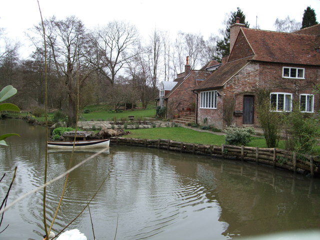
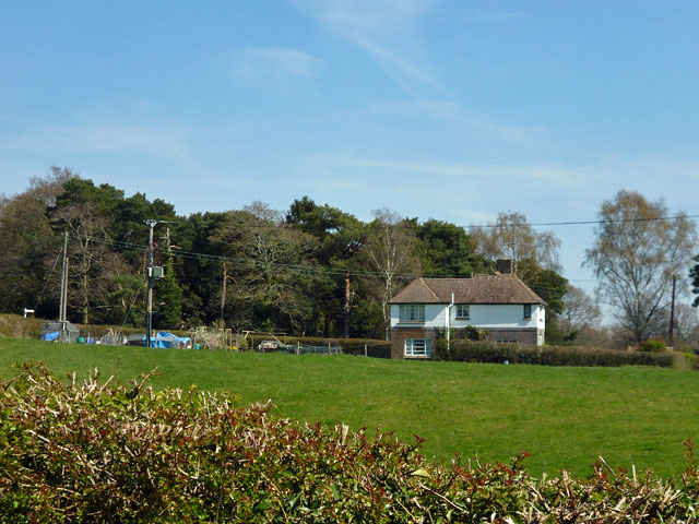
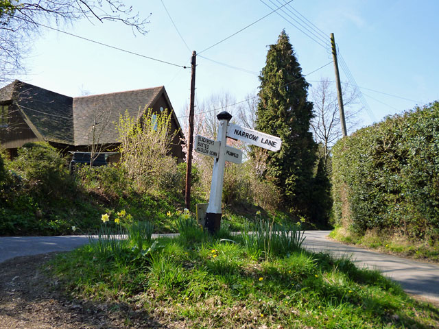
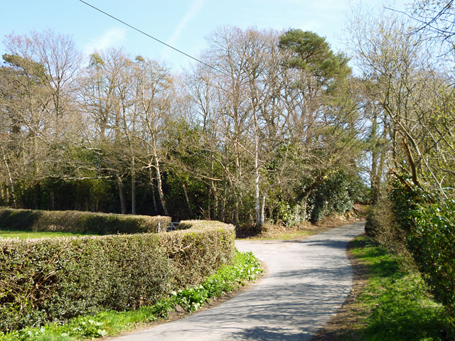
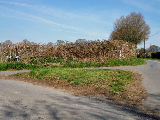
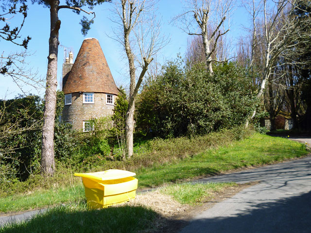
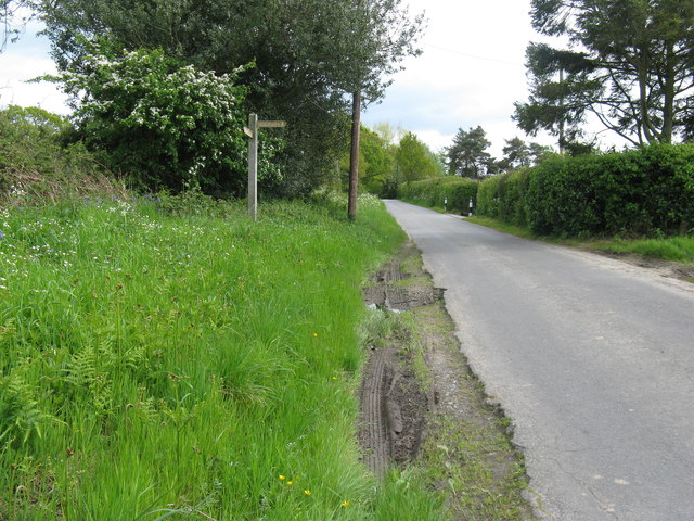
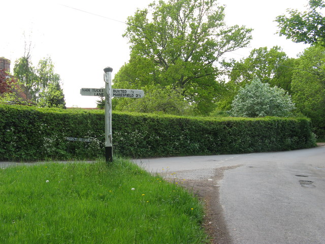
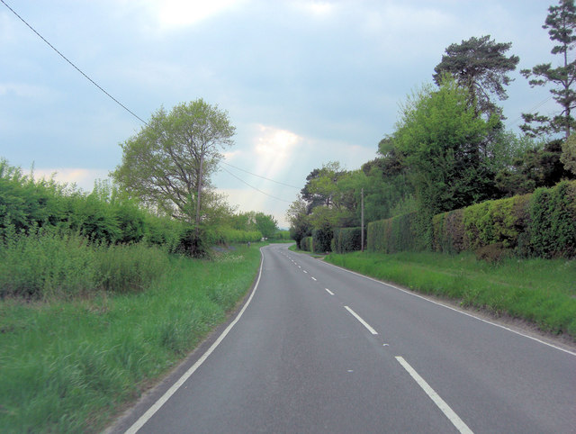
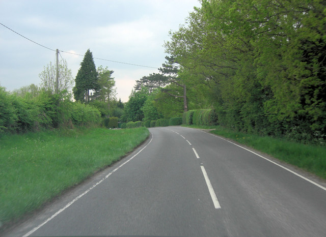
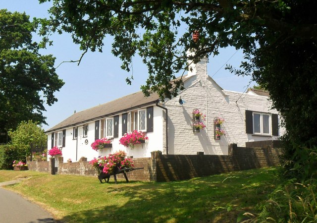
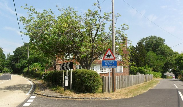
Coneybury Wood Images
Images are sourced within 2km of 50.969869/0.13319445 or Grid Reference TQ4921. Thanks to Geograph Open Source API. All images are credited.

Coneybury Wood is located at Grid Ref: TQ4921 (Lat: 50.969869, Lng: 0.13319445)
Administrative County: East Sussex
District: Wealden
Police Authority: Sussex
What 3 Words
///paradise.ranch.meanders. Near Buxted, East Sussex
Nearby Locations
Related Wikis

Framfield
Framfield is a village and civil parish in the Wealden District of East Sussex, England. The village is located two miles (3 km) east of Uckfield; the...

Etchingwood
Etchingwood is a small cluster of mostly detached properties and farms within the civil parish of Buxted in the Wealden district of East Sussex, England...
Vanguard Way
The Vanguard Way is a long-distance walk of 66.2 mi (106.5 km) from East Croydon station in outer London (OS grid reference TQ328658), travelling from...
Uckfield College
Uckfield College (formerly Uckfield Community Technology College) is a community college situated in Uckfield, UK. It has approximately 1,720 students...

Buxted railway station
Buxted railway station is on the Uckfield branch of the Oxted Line in England, serving the village of Buxted, East Sussex. It is 43 miles 68 chains (70...

Buxted
Buxted is a village and civil parish in the Wealden district of East Sussex in England. The parish is situated on the Weald, north of Uckfield; the settlements...

St Margaret the Queen, Buxted
The Church of St Margaret the Queen is a grade I listed building in Buxted Park, East Sussex, England. It is dedicated to Saint Margaret of Scotland, an...

Uckfield
Uckfield () is a town in the Wealden District of East Sussex in South East England. The town is on the River Uck, one of the tributaries of the River Ouse...
Related Videos

Walking Around my Local Area During Lockdown
Walking around my local area. I went to my local area and made myself a cup of coffee using the Jetboil Flash. My Channel: ...

LOCKDOWN! 30th birthday! Best surprise 🍾🍾 Wild camping 🏕 #lockdown #wildcamping
where the love of camping begins, best birthday ever! 5 days of wild camping, shut of from the world total peace! Lockdown ...


UCKFIELD DELIVERING!
Make sure to press the subscribe button! Tiktok - https://vm.tiktok.com/ZMRmUmaqd/ Instagram bio - ...
Nearby Amenities
Located within 500m of 50.969869,0.13319445Have you been to Coneybury Wood?
Leave your review of Coneybury Wood below (or comments, questions and feedback).