Far Ley
Settlement in Staffordshire Stafford
England
Far Ley
Far Ley is a small village located in the county of Staffordshire, England. Situated in the West Midlands region, it is nestled in the picturesque countryside, surrounded by rolling hills and lush green fields. With a population of around 500 residents, Far Ley is known for its tranquil and idyllic setting, offering a peaceful retreat from the hustle and bustle of city life.
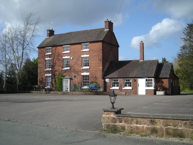
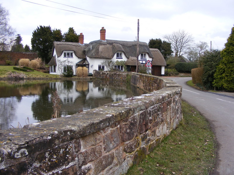
The village is characterized by its charming traditional cottages, many of which date back centuries, giving Far Ley a distinct old-world charm. The village center consists of a small cluster of local amenities, including a village hall, a primary school, and a local pub, which serves as a popular meeting place for locals and visitors alike.
Although Far Ley is primarily a residential area, it benefits from its close proximity to larger towns such as Stafford and Tamworth, which are both within a short driving distance. This allows residents to easily access a wider range of services, including shopping centers, healthcare facilities, and recreational activities.
The surrounding countryside offers ample opportunities for outdoor pursuits, with numerous walking and cycling trails that showcase the area's natural beauty. Visitors can enjoy exploring the nearby Cannock Chase, a designated Area of Outstanding Natural Beauty, which boasts woodlands, heaths, and diverse wildlife.
Overall, Far Ley, Staffordshire is a charming and peaceful village, perfect for those seeking a serene rural lifestyle while still being conveniently located near larger towns and amenities.
If you have any feedback on the listing, please let us know in the comments section below.
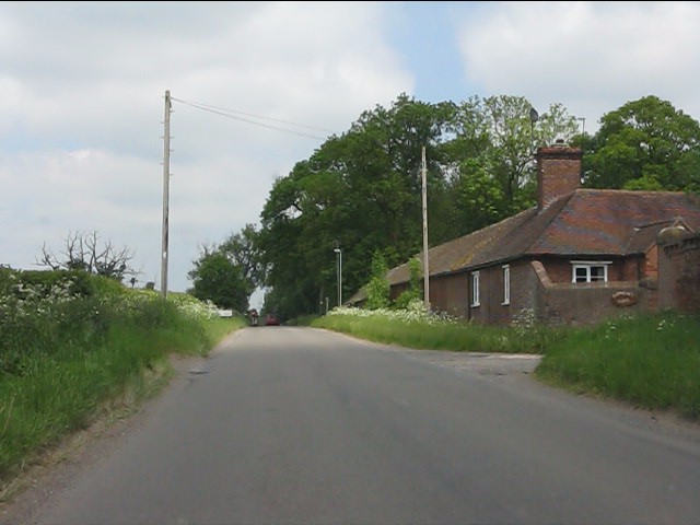
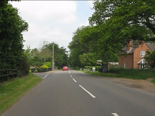
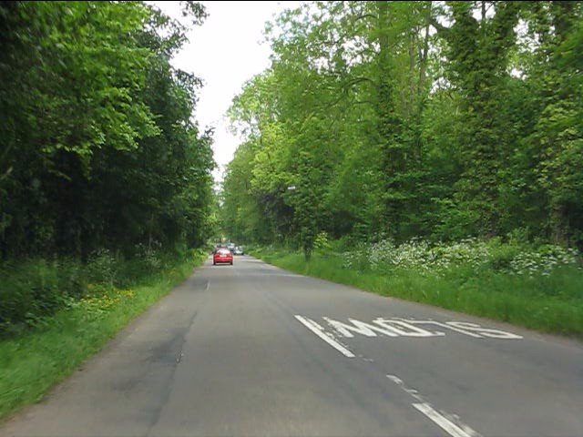
Far Ley Images
Images are sourced within 2km of 52.588393/-2.3114016 or Grid Reference SO7999. Thanks to Geograph Open Source API. All images are credited.


Far Ley is located at Grid Ref: SO7999 (Lat: 52.588393, Lng: -2.3114016)
Administrative County: Staffordshire
District: Stafford
Police Authority: Staffordshire
What 3 Words
///backhand.mailing.hairpin. Near Pattingham, Staffordshire
Nearby Locations
Related Wikis

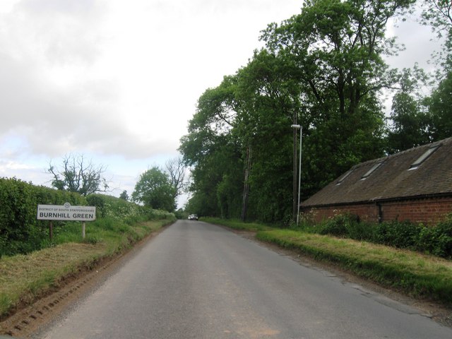
Burnhill Green
Burnhill Green is a small hamlet near Pattingham, situated in Staffordshire, England, in the former parish of Patshull. The hamlet is on the edge of the...
Ackleton
Ackleton is a village in the English county of Shropshire. It is in the civil parish of Worfield. Situated some seven miles (11 kilometers) from the market...

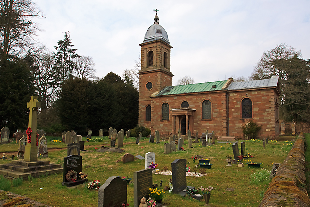
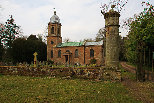
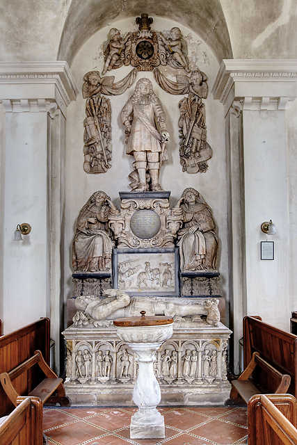
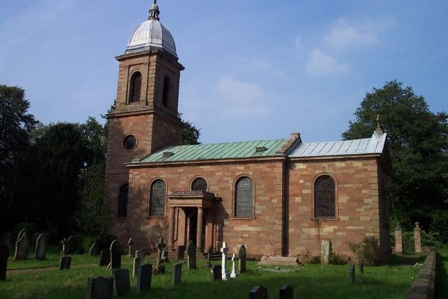
St Mary's Church, Patshull
St Mary's Church, Patshull, is a redundant Anglican church in the parish of Pattingham and Patshull, Staffordshire, England, and is situated near Patshull...
Badger, Shropshire
Badger is a village and civil parish in Shropshire, England, about six miles north-east of Bridgnorth. The parish had a population of 134 according to...
Patshull
Patshull is a former civil parish, now in the parish of Pattingham and Patshull, in the South Staffordshire district, in the county of Staffordshire, England...

Patshull Hall
Patshull Hall is a substantial Georgian mansion house situated near Pattingham in Staffordshire, England. It is a Grade I listed building and by repute...

Rudge, Shropshire
Rudge is a settlement and civil parish about 6 miles east of Bridgnorth, in the Shropshire district, in the ceremonial county of Shropshire, England. In...

Pattingham
Pattingham is a village and former civil parish, now in the parish of Pattingham and Patshull, in the South Staffordshire district, in the county of Staffordshire...
Nearby Amenities
Located within 500m of 52.588393,-2.3114016Have you been to Far Ley?
Leave your review of Far Ley below (or comments, questions and feedback).