Hazelend Wood
Wood, Forest in Hertfordshire East Hertfordshire
England
Hazelend Wood
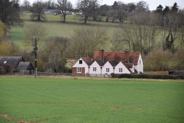
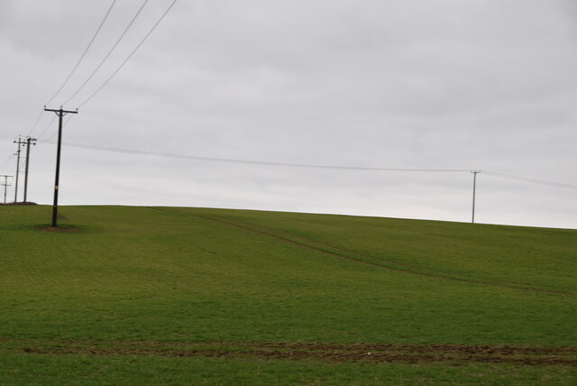
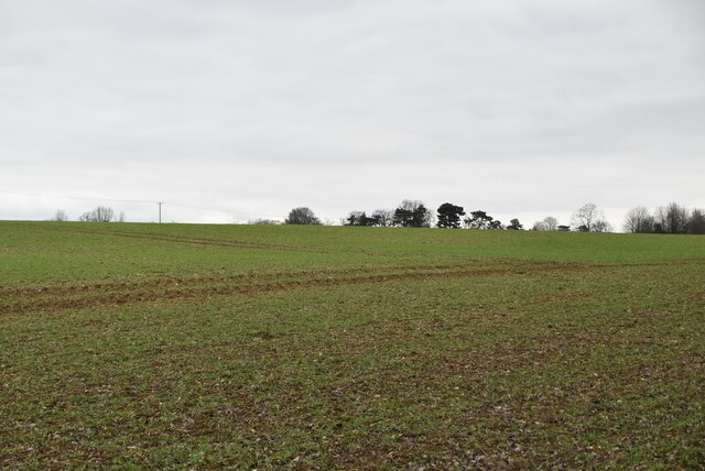
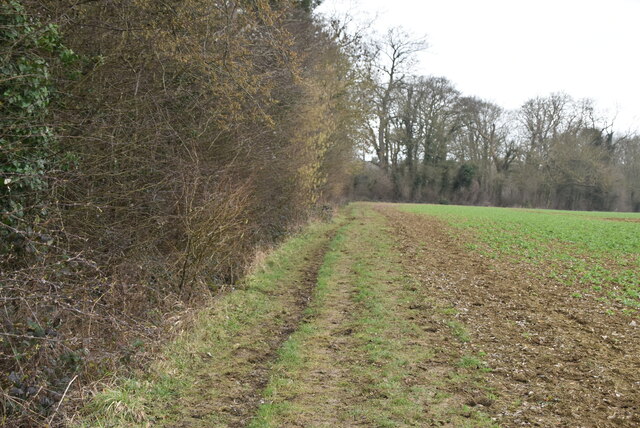
Hazelend Wood is a picturesque woodland located in the county of Hertfordshire, England. Stretching over an area of approximately 100 acres, the wood is situated near the village of Hazelend and is known for its natural beauty and diverse wildlife.
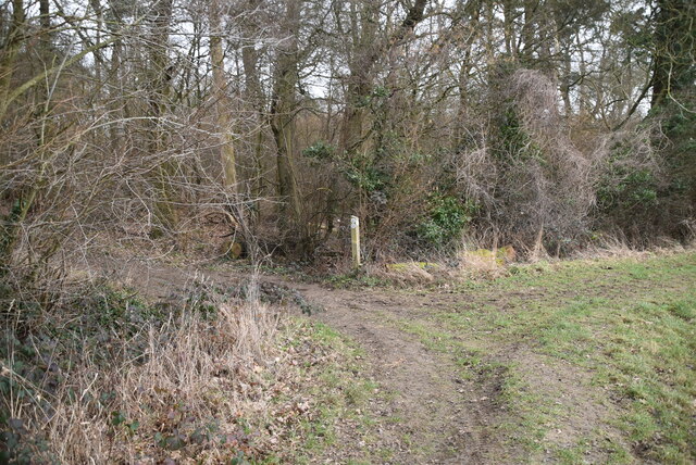
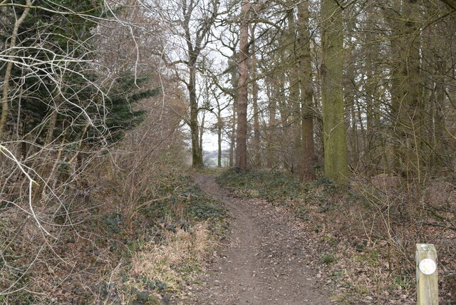
The wood is primarily composed of native broadleaf trees such as oak, beech, and hazel, which give it its name. These tall, majestic trees create a dense canopy overhead, providing shade and shelter for the various species that inhabit the area. The forest floor is covered in a lush carpet of ferns, wildflowers, and moss, adding to its enchanting appeal.
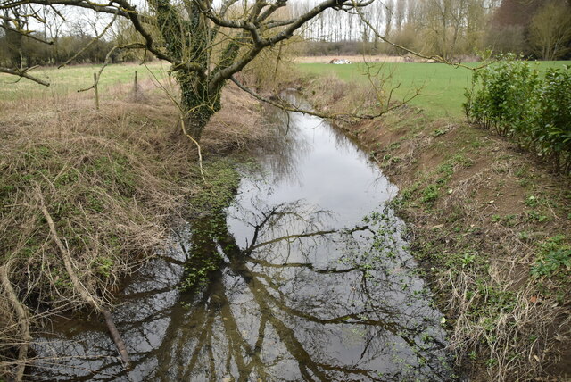
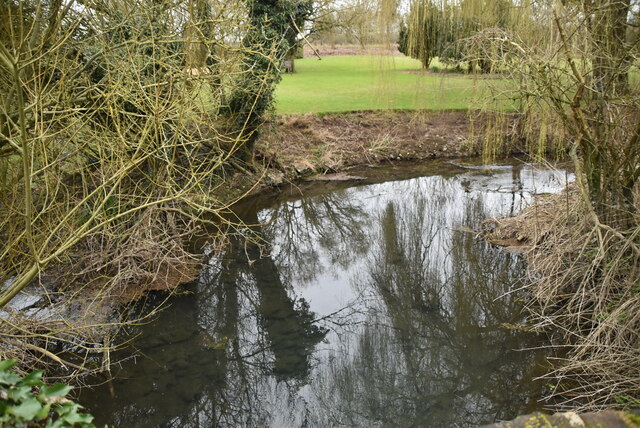
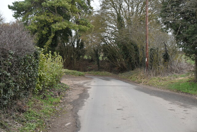
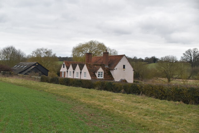
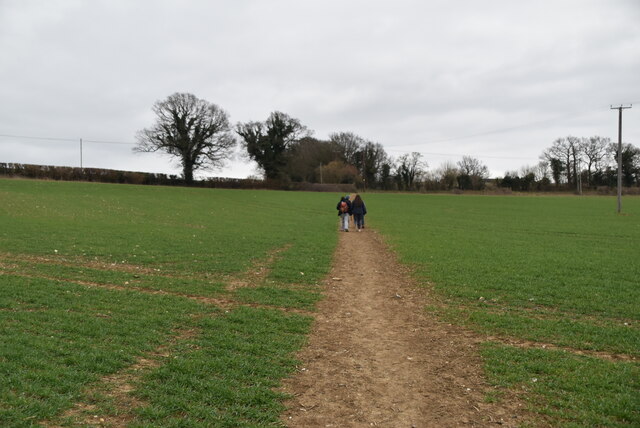
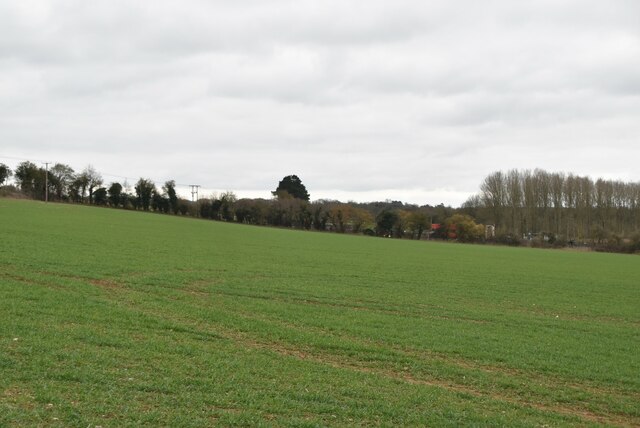
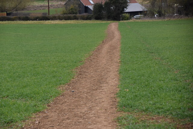
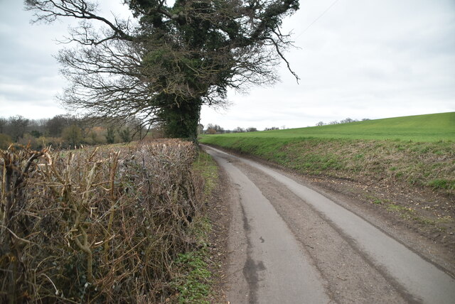
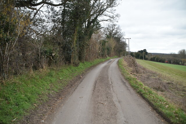
Hazelend Wood is a haven for nature enthusiasts and walkers alike, offering a network of well-maintained trails that wind through the forest. These paths lead visitors to hidden gems such as tranquil ponds, babbling brooks, and scenic viewpoints overlooking the surrounding countryside. The wood also boasts a diverse range of wildlife, including deer, foxes, badgers, and a variety of bird species, making it a popular spot for birdwatching and wildlife photography.
Throughout the year, Hazelend Wood undergoes a stunning transformation with the changing seasons. In spring, the forest bursts into life with vibrant blossoms and the songs of migrating birds. Summer brings the lush green foliage, creating a cool and refreshing atmosphere. Autumn paints the wood in a breathtaking array of reds, oranges, and golds as the leaves change color, and winter transforms the landscape into a serene wonderland, with frost-covered branches and a peaceful silence.
Overall, Hazelend Wood is a captivating natural treasure that offers visitors an opportunity to immerse themselves in the beauty of the Hertfordshire countryside.
If you have any feedback on the listing, please let us know in the comments section below.
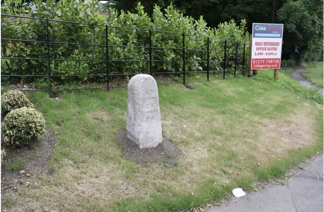
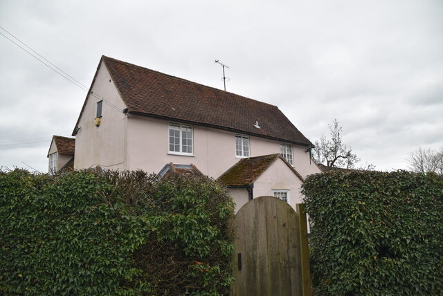
Hazelend Wood Images
Images are sourced within 2km of 51.893912/0.17063541 or Grid Reference TL4923. Thanks to Geograph Open Source API. All images are credited.

Hazelend Wood is located at Grid Ref: TL4923 (Lat: 51.893912, Lng: 0.17063541)
Administrative County: Hertfordshire
District: East Hertfordshire
Police Authority: Hertfordshire
What 3 Words
///easygoing.duke.ramble. Near Stansted Mountfitchet, Essex
Nearby Locations
Related Wikis

Bentfield Green
Bentfield Green is an area of common land and settlement in the village of Stansted Mountfitchet, in the civil parish of Stansted Mountfitchet, in the...
Bentfield Bury
Bentfield Bury is a small village in Essex, England. It is one of over 100 villages in the district of Uttlesford and is within Stansted Mountfitchet parish...

Stansted Mountfitchet Windmill
Stansted Mountfitchet Windmill is a grade II* listed Tower mill at Stansted Mountfitchet, Essex, England which is also a Scheduled Ancient Monument. It...

Stansted Mountfitchet
Stansted Mountfitchet is an English village and civil parish in Uttlesford district, Essex, near the Hertfordshire border, 35 miles (56 km) north of London...
Farnham, Essex
Farnham is a small village in Essex, England, situated near Bishop's Stortford. The main features are Farnham Church of England Primary School, the church...
Stansted F.C.
Stansted Football Club is an English football club based in Stansted Mountfitchet, Essex. The club are currently members of the Spartan South Midlands...
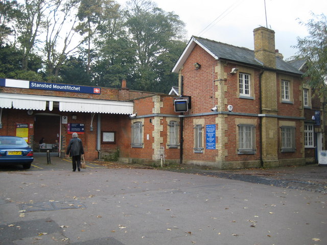
Stansted Mountfitchet railway station
Stansted Mountfitchet railway station is on the West Anglia Main Line serving the village of Stansted Mountfitchet in Essex, England. It is 33 miles 28...

Birchanger
Birchanger () is a village in Essex, England, 3 km (1.9 mi) northeast of Bishop's Stortford and 25 km (16 mi) northwest of the county town, Chelmsford...
Nearby Amenities
Located within 500m of 51.893912,0.17063541Have you been to Hazelend Wood?
Leave your review of Hazelend Wood below (or comments, questions and feedback).