Claypit Shaw
Wood, Forest in Kent Sevenoaks
England
Claypit Shaw
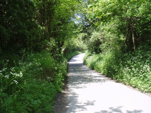
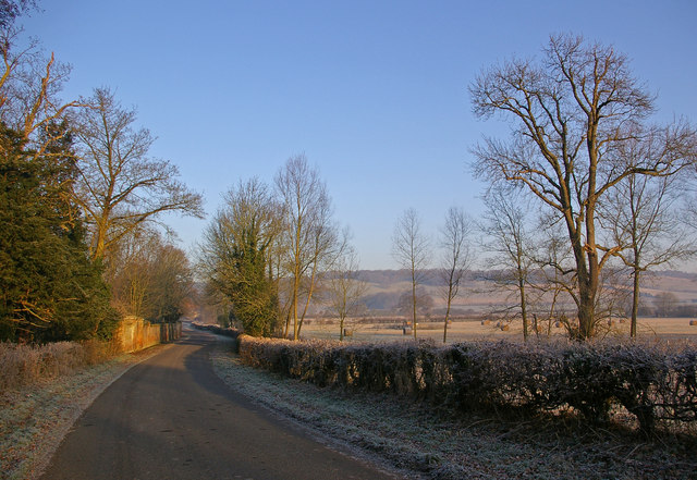
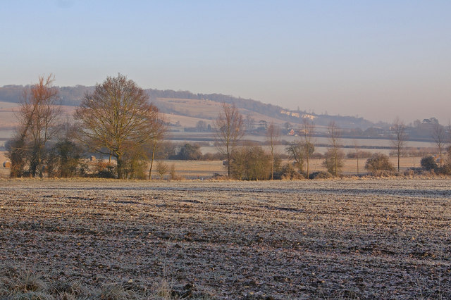
Claypit Shaw is a wooded area located in the county of Kent, England. It is situated in the village of Wood, within the larger district of Forest. The area is known for its picturesque landscapes and natural beauty, making it a popular destination for nature enthusiasts and outdoor lovers.
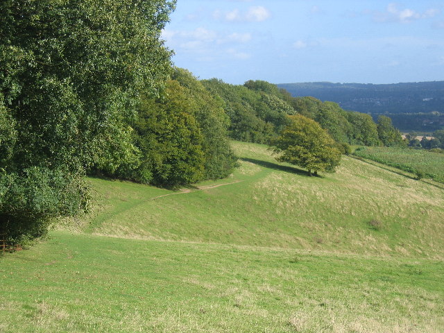
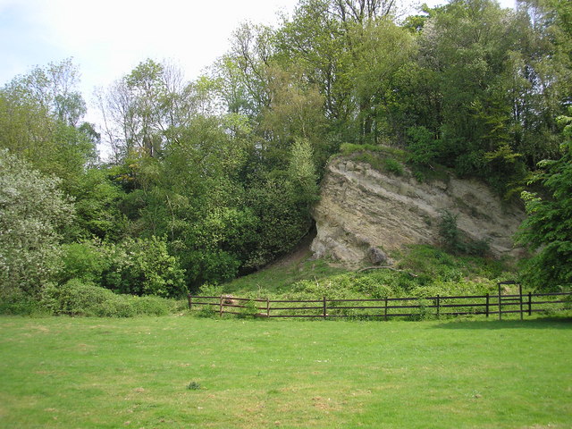
Covering an approximate area of several hectares, Claypit Shaw is characterized by its dense woodland, consisting primarily of oak, beech, and ash trees. The forest floor is carpeted with a diverse array of wildflowers, creating a vibrant and colorful display during the spring and summer months. The area is also home to a variety of wildlife, including deer, rabbits, and various bird species, making it a haven for animal lovers and birdwatchers.
The woodland is crisscrossed with a network of well-maintained trails, allowing visitors to explore the area on foot or by bicycle. These trails meander through the forest, offering glimpses of tranquil ponds and babbling brooks along the way. There are also designated picnic areas and benches scattered throughout the woodland, providing opportunities for visitors to relax and enjoy the peaceful surroundings.
Claypit Shaw is managed by the local forestry commission, which ensures the preservation of the area's natural habitats and promotes sustainable practices. The commission also organizes educational programs and guided tours to raise awareness about the importance of conservation and the rich biodiversity found within the forest.
Overall, Claypit Shaw in Kent is a stunning woodland area that offers visitors a chance to immerse themselves in nature and experience the tranquility of the English countryside.
If you have any feedback on the listing, please let us know in the comments section below.
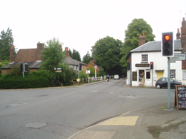
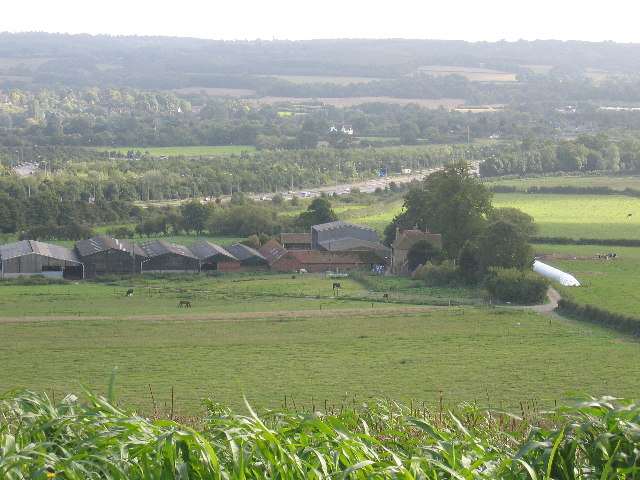
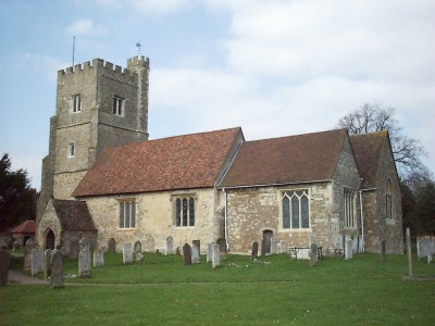
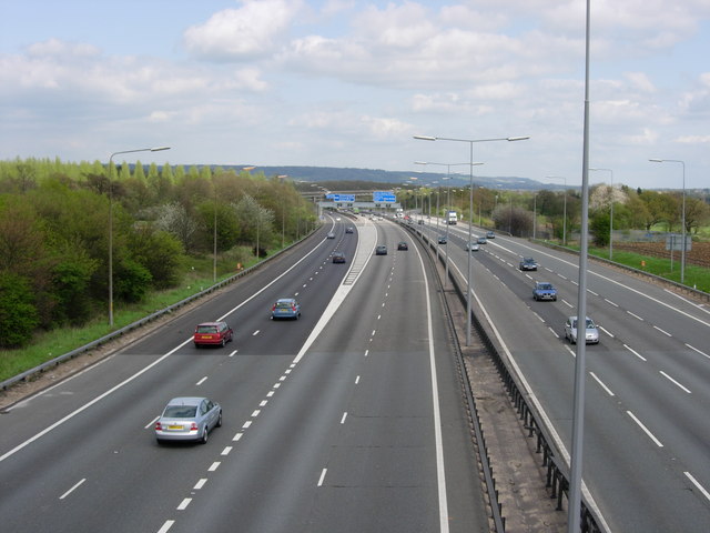
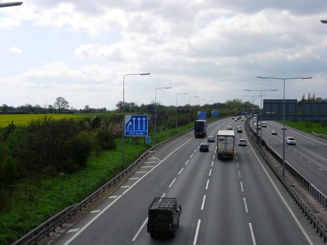
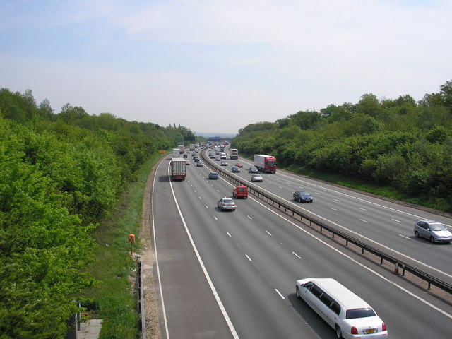
Claypit Shaw Images
Images are sourced within 2km of 51.290613/0.13686848 or Grid Reference TQ4956. Thanks to Geograph Open Source API. All images are credited.
Claypit Shaw is located at Grid Ref: TQ4956 (Lat: 51.290613, Lng: 0.13686848)
Administrative County: Kent
District: Sevenoaks
Police Authority: Kent
What 3 Words
///large.trips.pens. Near Sundridge, Kent
Nearby Locations
Related Wikis

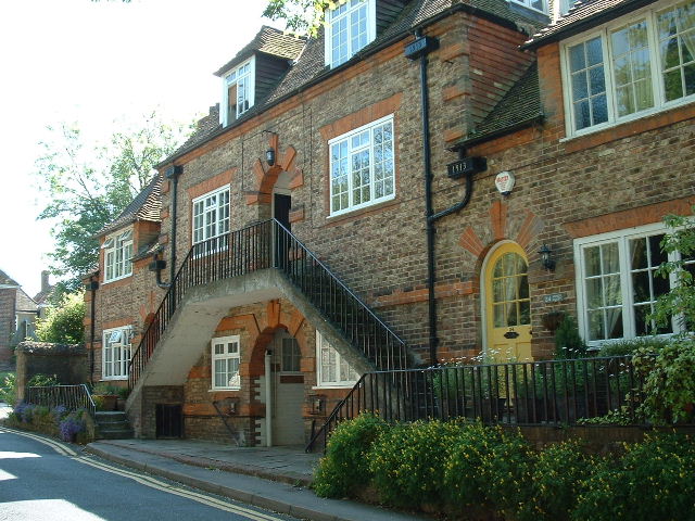
Chevening, Kent
Chevening () is a village and civil parish in the Sevenoaks District of Kent, England. It was the location for the world's earliest known organised cricket...

Chevening Halt railway station
Chevening Halt is a now-closed intermediate railway station on the Westerham branch line in Kent. The line was built as single track with provision for...

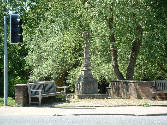
Chatham Vase
The Chatham Vase is a stone sculpture by John Bacon commissioned as a memorial to William Pitt the Elder by his wife, Hester, Countess of Chatham. It was...
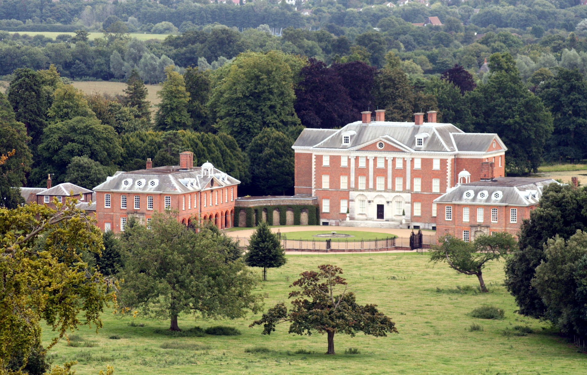
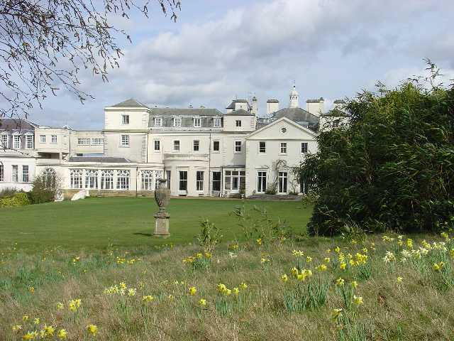
Chevening
Chevening House () is a large country house in the parish of Chevening in Kent, England. Built between 1617 and 1630 to a design reputedly by Inigo Jones...

Chipstead, Kent
Chipstead is a small village within the parish of Chevening in the Sevenoaks District of Kent, England. It lies just west of the town of Sevenoaks and...

Radnor House Sevenoaks School
Radnor House Sevenoaks School (formerly Combe Bank School) is a coeducational private day school located in Sundridge (near Sevenoaks) in the English county...

Dryhill
Dryhill is a small hamlet in the Sevenoaks district, in the county of Kent, England. == Location == It is about two miles away from the large town of Sevenoaks...

Dryhill Nature Reserve
Dryhill is an 11.7-hectare (29-acre) geological Site of Special Scientific Interest on the western outskirts of Sevenoaks in Kent. It is a Geological Conservation...
Nearby Amenities
Located within 500m of 51.290613,0.13686848Have you been to Claypit Shaw?
Leave your review of Claypit Shaw below (or comments, questions and feedback).