Maple Wood
Wood, Forest in Kent Sevenoaks
England
Maple Wood
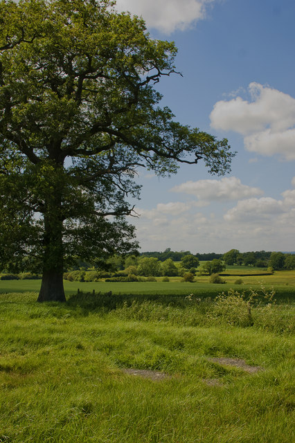
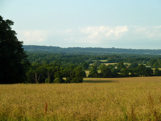
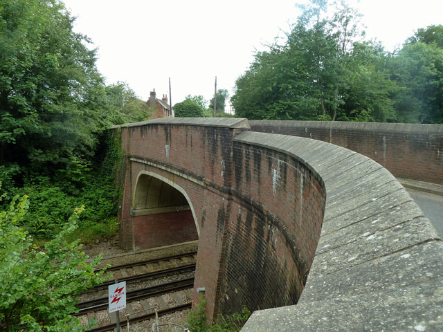
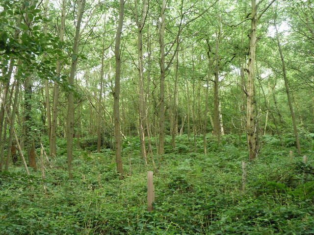
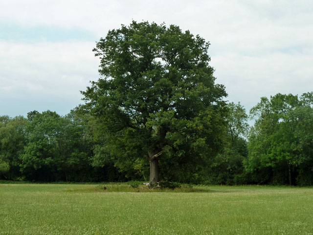
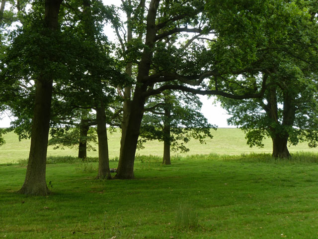
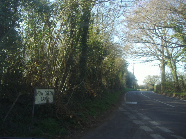
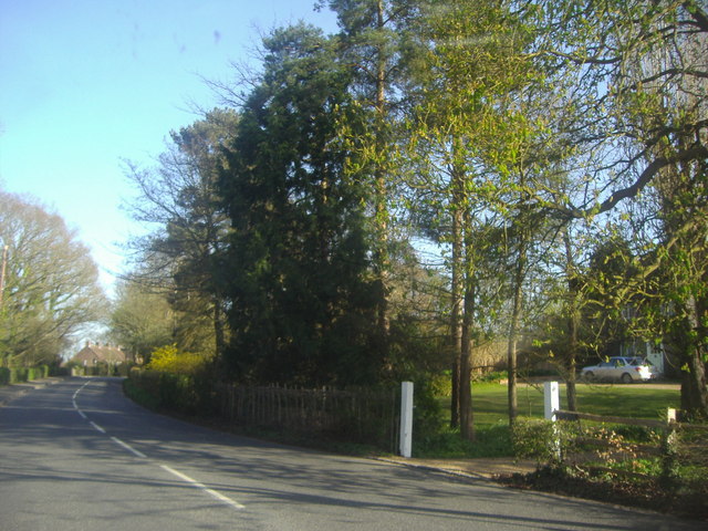
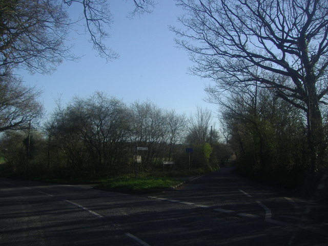
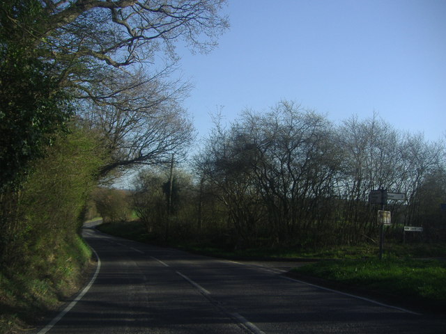
Maple Wood is a picturesque forest located in the county of Kent, England. It covers an area of approximately 100 acres and is known for its stunning natural beauty and diverse ecosystem. The wood is primarily made up of maple trees, hence its name, but also includes a variety of other tree species such as oak, beech, and ash.
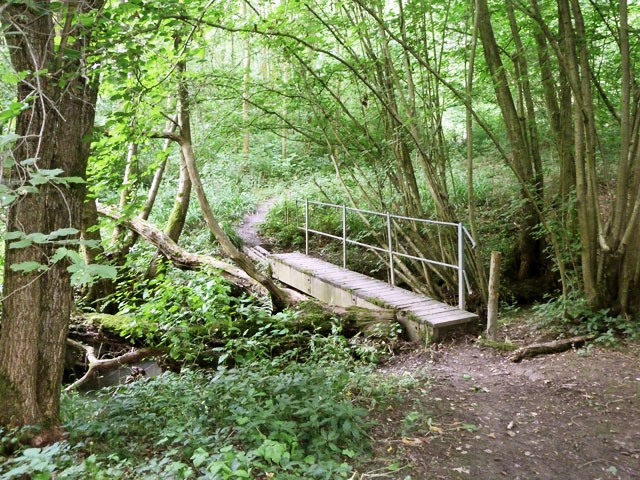
The forest is a popular destination for nature lovers and outdoor enthusiasts, offering a range of activities for visitors to enjoy. There are several well-maintained walking trails that meander through the wood, allowing visitors to explore its enchanting surroundings. These trails provide opportunities for birdwatching, as the forest is home to a plethora of bird species including woodpeckers, owls, and various songbirds.
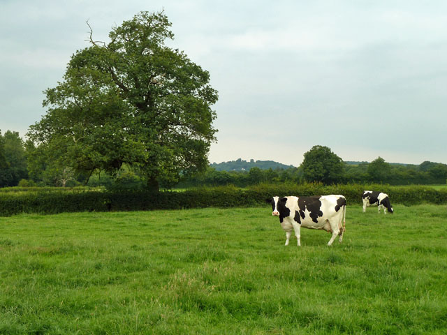
Maple Wood also boasts a rich biodiversity, with a diverse array of plant and animal life. The forest floor is carpeted with wildflowers in the spring and summer months, creating a vibrant and colorful landscape. Small mammals such as rabbits, squirrels, and foxes can often be spotted darting among the trees, while deer can occasionally be seen grazing in the quieter areas of the wood.
The wood has been carefully managed and preserved by local authorities, ensuring its ecological integrity is maintained. It serves as an important habitat for wildlife and contributes to the overall health of the surrounding ecosystem. Maple Wood offers a peaceful retreat from the bustle of everyday life, providing a tranquil and serene environment for visitors to enjoy the wonders of nature.
If you have any feedback on the listing, please let us know in the comments section below.
Maple Wood Images
Images are sourced within 2km of 51.204657/0.12992401 or Grid Reference TQ4847. Thanks to Geograph Open Source API. All images are credited.
Maple Wood is located at Grid Ref: TQ4847 (Lat: 51.204657, Lng: 0.12992401)
Administrative County: Kent
District: Sevenoaks
Police Authority: Kent
What 3 Words
///text.pint.people. Near Edenbridge, Kent
Nearby Locations
Related Wikis

Bough Beech
Bough Beech is a hamlet in the county of Kent, England, and is south of the Bough Beech Reservoir. It is located approximately three miles east of Edenbridge...

How Green House
How Green House is an architecturally important Arts and Crafts movement style country house near Hever in the Sevenoaks District of Kent. It was designed...

Polebrook Farm
Polebrook Farm is a 13-hectare (32-acre) biological Site of Special Scientific Interest south of Sevenoaks in Kent, England.The field layout of this farm...

Hever Castle
Hever Castle ( HEE-vər) is located in the village of Hever, Kent, near Edenbridge, 30 miles (48 km) south-east of London, England. It began as a country...

Chiddingstone Castle
Chiddingstone Castle is situated in the village of Chiddingstone, near Edenbridge, Kent, England, 35 miles (56 kilometres) south-southeast of London and...

St. Mary the Virgin, Chiddingstone
St. Mary the Virgin is a parish church in the united benefice of Chiddingstone, Penshurst, Chiddingstone Causeway and Fordcombe in the episcopal Diocese...
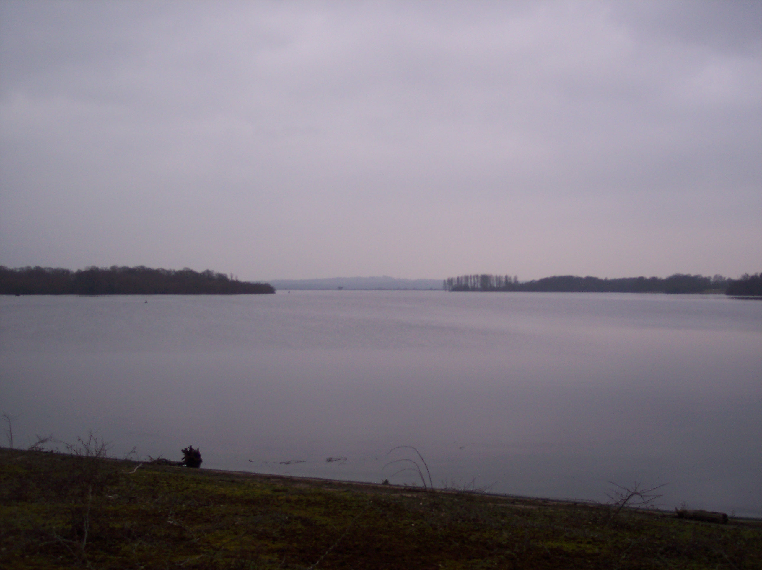
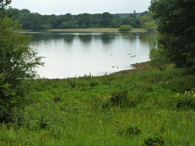
Bough Beech Reservoir
Bough Beech Reservoir is a 42-hectare (100-acre) nature reserve in Bough Beech, south-west of Sevenoaks in Kent. It was managed by the Kent Wildlife Trust...

Chiddingstone
Chiddingstone is a village and civil parish in the Sevenoaks District of Kent, England. The parish is located on the River Eden between Tonbridge and Edenbridge...
Nearby Amenities
Located within 500m of 51.204657,0.12992401Have you been to Maple Wood?
Leave your review of Maple Wood below (or comments, questions and feedback).