Long Shaw

Wood, Forest in Sussex Wealden

England

Long Shaw

Black Lion Inn Old coaching inn on the A22/B2192 crossroads. The road to Uckfield is straight ahead that to Lewes is to the left.
Black Lion Inn Credit: Simon Carey

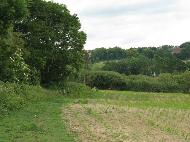
Long Shaw is a picturesque woodland area located in Sussex, England. Situated in the heart of the county, Long Shaw is known for its lush greenery, dense forests, and tranquil ambiance. The area spans over several acres and is a popular destination for nature enthusiasts and hikers alike.

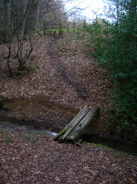
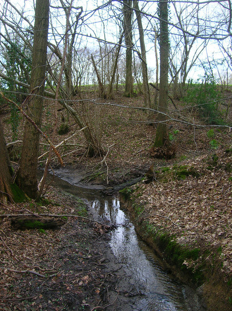
The woodland of Long Shaw is primarily composed of various species of trees, including oak, beech, and birch. These towering trees provide a canopy of shade, creating a cool and refreshing atmosphere even during the hot summer months. The forest floor is carpeted with a rich layer of moss, ferns, and wildflowers, adding to the area's natural beauty.

The diverse ecosystem of Long Shaw supports a wide array of wildlife. Visitors may encounter deer, foxes, rabbits, and an abundance of bird species such as woodpeckers, owls, and robins. The area is also home to numerous insects, butterflies, and small mammals, making it a haven for nature lovers and wildlife enthusiasts.

Long Shaw offers a network of well-maintained walking trails, allowing visitors to explore the woodland at their own pace. These paths wind through the forest, offering stunning views of the surrounding countryside and occasional glimpses of nearby streams and ponds. The peacefulness and tranquility of Long Shaw make it a perfect retreat for those seeking a break from the hustle and bustle of city life.

Overall, Long Shaw in Sussex is a captivating woodland area that showcases the beauty of nature. With its verdant forests, diverse wildlife, and serene atmosphere, it is a must-visit destination for anyone looking to immerse themselves in the natural wonders of Sussex.

If you have any feedback on the listing, please let us know in the comments section below.
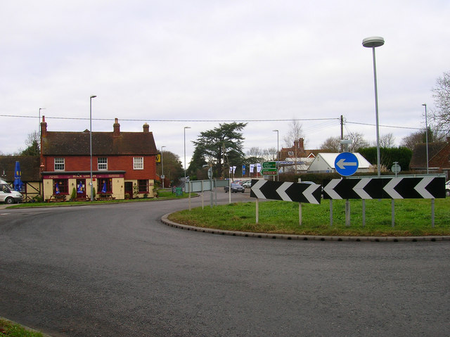
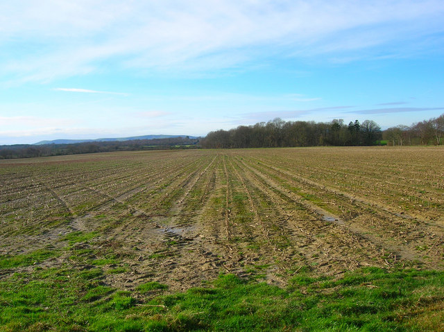
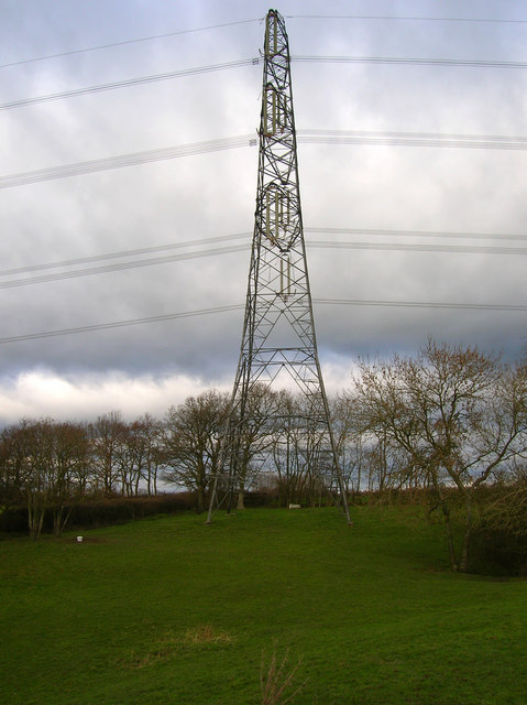
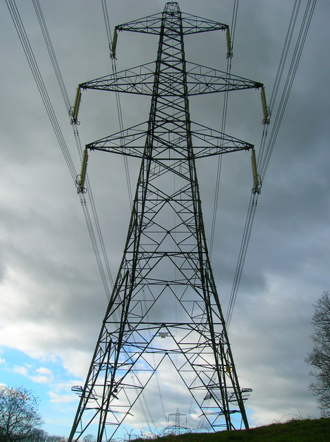
Long Shaw Images

Images are sourced within 2km of 50.932034/0.11684646 or Grid Reference TQ4816. Thanks to Geograph Open Source API. All images are credited.

Black Lion Inn Old coaching inn on the A22/B2192 crossroads. The road to Uckfield is straight ahead that to Lewes is to the left.
Black Lion Inn
Old coaching inn on the A22/B2192 crossroads. The road to Uckfield is straight ahead that to Lewes is to the left.
Looking Towards Bog Shaw Taken from the footpath that links Halland with Rowlands Wood. The South Downs can be seen in the background.
Looking Towards Bog Shaw
Taken from the footpath that links Halland with Rowlands Wood. The South Downs can be seen in the background.
Electricity Pylon near The Lews Taken from the footpath from Honey's Green
Electricity Pylon near The Lews
Taken from the footpath from Honey's Green
Electricity Pylons near The Lews Straight on view of <a href="https://www.geograph.org.uk/photo/323458">TQ5018 : Electricity Pylon near The Lews</a> as the iron giant and his dark black cloud bear down on a lonely geographer. Actually the picture is taken in a small dip next to a stream looking up the slope towards the pylon.
Electricity Pylons near The Lews
Straight on view of TQ5018 : Electricity Pylon near The Lews as the iron giant and his dark black cloud bear down on a lonely geographer. Actually the picture is taken in a small dip next to a stream looking up the slope towards the pylon.
Footbridge over Unnamed Stream, The Lews The stream actually carves out a small gorge here, the drop from either side of the footpath towards the footbridge is quite steep. This view looks northwards.
Footbridge over Unnamed Stream, The Lews
The stream actually carves out a small gorge here, the drop from either side of the footpath towards the footbridge is quite steep. This view looks northwards.
Two Streams Converging, The Lews Taken from the footbridge <a href="https://www.geograph.org.uk/photo/323477">TQ5017 : Footbridge over Unnamed Stream, The Lews</a> looking westwards.
Two Streams Converging, The Lews
Taken from the footbridge TQ5017 : Footbridge over Unnamed Stream, The Lews looking westwards.
Upper Honeys Green Farm The footpath follows the track then turns right next to the barn.
Upper Honeys Green Farm
The footpath follows the track then turns right next to the barn.
Old Health Close Small cul-de-sac between the Heathfield Road (B2192) and Bentley Wood.
Old Health Close
Small cul-de-sac between the Heathfield Road (B2192) and Bentley Wood.
Bentley Wood There are two Bentley Woods in the vicinity of Halland. One to the west near to Bentley House and this one which is to the east lining the northern part of the A22 and road to East Hoathly. Whether both were once one I do not know.
Bentley Wood
There are two Bentley Woods in the vicinity of Halland. One to the west near to Bentley House and this one which is to the east lining the northern part of the A22 and road to East Hoathly. Whether both were once one I do not know.
Hartfield Farm House, Heathfield Road Possibly the old farm house for Hartfield Farm which is south of the hamlet on the Lewes Road. If you look closely to the left of the centre upstairs window, over the door, is the coat of arms of the Pelham family, the old Dukes of Newcastle, who owned substantial holdings in this part of the Weald, including Laughton Manor and nearby Halland Manor now Halland Park Farm. The house is now next to the roundabout on the western side of the Heathfield Road.
Hartfield Farm House, Heathfield Road
Possibly the old farm house for Hartfield Farm which is south of the hamlet on the Lewes Road. If you look closely to the left of the centre upstairs window, over the door, is the coat of arms of the Pelham family, the old Dukes of Newcastle, who owned substantial holdings in this part of the Weald, including Laughton Manor and nearby Halland Manor now Halland Park Farm. The house is now next to the roundabout on the western side of the Heathfield Road.
The Bog The name of the field according to the 1838 tithe map that was once part of Halland Park before its enclosure in 1788 when the Pelhams moved their family seat to Stanmer House near Brighton. Bog Shaw is the small wood on the right.
The Bog
The name of the field according to the 1838 tithe map that was once part of Halland Park before its enclosure in 1788 when the Pelhams moved their family seat to Stanmer House near Brighton. Bog Shaw is the small wood on the right.
Footpath alongside hedgerow to Bog Shaw
Alteration to drainage ditch by Bog Shaw
Hillside view SW towards Shortgate Manor Farm and Terrible Down Farm The South Downs make up the horizon.
Hillside view SW towards Shortgate Manor Farm and Terrible Down Farm
The South Downs make up the horizon.
Derelict windpump near Hartfield Farm
Bird feeders and nestboxes at Hartfield Farm
The B2192 entering Halland The minor road on the right connects to the A22.
The B2192 entering Halland
The minor road on the right connects to the A22.
Woodland footpath SW to Halland
Show me another place!

Long Shaw is located at Grid Ref: TQ4816 (Lat: 50.932034, Lng: 0.11684646)

Administrative County: East Sussex

District: Wealden

Police Authority: Sussex

What 3 Words

///songbird.adjust.breed. Near Uckfield, East Sussex

Nearby Locations

Long Shaw Bentley Wood

Related Wikis

Bentley Wildfowl and Motor Museum

The Bentley Wildfowl and Motor Museum was a visitor attraction near Halland, East Sussex, England. As of October 2018, it is closed to the public. ��2...

East Sussex National Golf Club

East Sussex National Golf Club is a golf course located near to Uckfield in East Sussex. It is considered one of the finer golf courses in the British...

Horsted Place

Horsted Place is a Tudor Revival country house, now a hotel, in Little Horsted, East Sussex, England. The current building dates to 1850, when it was built...

Little Horsted

Little Horsted (also known as Horsted Parva) is a village and civil parish in the Wealden district of East Sussex, England. It is located two miles (3...

Park Corner Heath

Park Corner Heath is a 2.9-hectare (7.2-acre) biological Site of Special Scientific Interest about 1.2 miles (2 km) south of East Hoathly, adjacent to...

Plashett Park Wood

Plashett Park Wood is a 157.6-hectare (389-acre) biological Site of Special Scientific Interest between Lewes and Uckfield in East Sussex.This ancient...

Framfield

Framfield is a village and civil parish in the Wealden District of East Sussex, England. The village is located two miles (3 km) east of Uckfield; the...

East Hoathly with Halland

East Hoathly with Halland is a civil parish in the Wealden District of East Sussex, England. The parish contains the two villages of East Hoathly and...

Related Videos

Resurrecting a Forgotten Legend - HTPG 2019 Crowdfunder

In 2019, the Hawker Typhoon Preservation Group launched a crowdfunding effort to raise funds to restore the rear fuselage of ...

National Trust - Sheffield Park walkabout

a beaitiful day at Sheffield Park, Ukcfield, UK.

Croquet Lawn Sunshine

The beautiful croquet lawn at Horsted Place Hotel in East Sussex. It is hard to believe that winter is just round the corner.....

UCKFIELD DELIVERING!

Make sure to press the subscribe button! Tiktok - https://vm.tiktok.com/ZMRmUmaqd/ Instagram bio - ...

Nearby Amenities

Located within 500m of 50.932034,0.11684646
Little Bentley Farm
Place: farm
Source Name: OS_OpenData_StreetView
Lat/Long: 50.9298623/0.1188138
The data included in this document is from www.openstreetmap.org. The data is made available under ODbL.

Have you been to Long Shaw?

Leave your review of Long Shaw below (or comments, questions and feedback).