Willow Shaw
Wood, Forest in Sussex Wealden
England
Willow Shaw
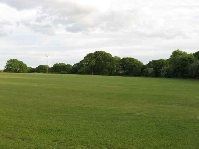
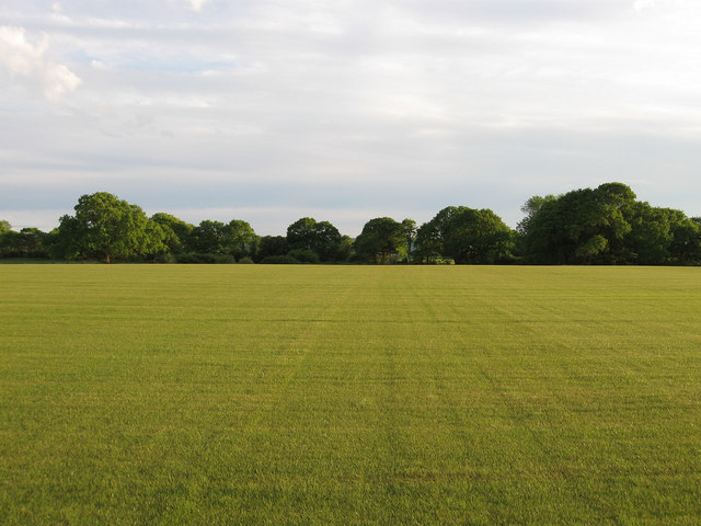
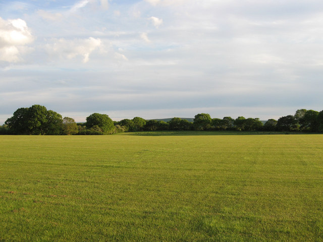
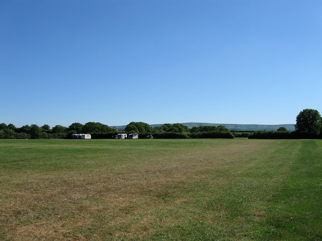
Willow Shaw, Sussex (Wood, Forest) is a picturesque and serene location nestled in the heart of the Sussex countryside, England. This stunning wood and forest area spans approximately 200 acres, providing a haven for nature and outdoor enthusiasts.
The woodland itself is characterized by a dense canopy of willow trees, after which the area takes its name. These tall and graceful trees create a tranquil atmosphere, offering shade and shelter to a diverse range of flora and fauna. The forest floor is adorned with a carpet of vibrant wildflowers, adding bursts of color to the landscape throughout the year.
Willow Shaw boasts several well-maintained walking trails, allowing visitors to explore the enchanting forest at their leisure. These paths wind through ancient woodland, revealing hidden ponds, babbling brooks, and charming clearings along the way. The varied terrain caters to all levels of fitness, making it an ideal destination for families, hikers, and nature lovers.
The forest is also home to a wealth of wildlife. Birdwatchers will delight in the opportunity to spot a wide array of avian species, including woodpeckers, owls, and various songbirds. Meanwhile, keen-eyed observers may catch glimpses of elusive mammals such as red foxes, badgers, and deer.
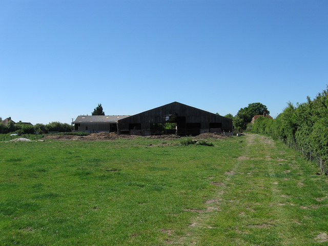
In addition to its natural beauty, Willow Shaw offers a range of amenities to enhance visitors' experiences. These include picnic areas, designated camping spots, and well-maintained restroom facilities. The site is easily accessible, with ample parking available for visitors.
Overall, Willow Shaw, Sussex (Wood, Forest) provides a peaceful retreat for those seeking solace in nature, with its breathtaking scenery, diverse wildlife, and well-maintained amenities making it a must-visit destination in the heart of Sussex.
If you have any feedback on the listing, please let us know in the comments section below.
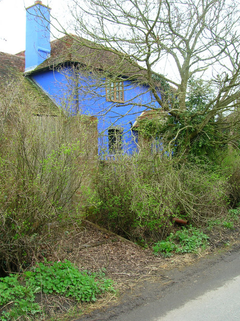
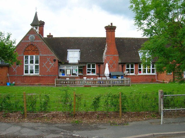
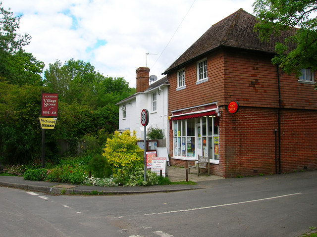
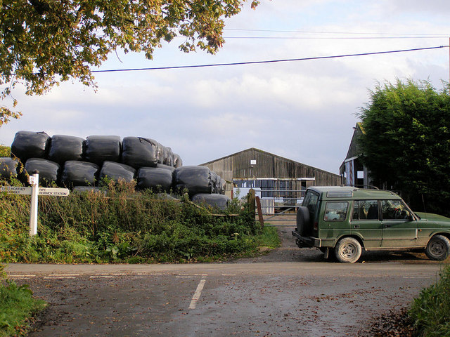
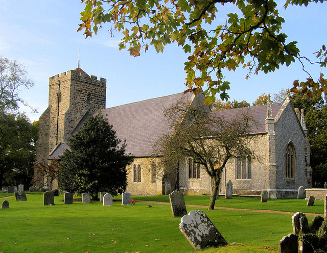
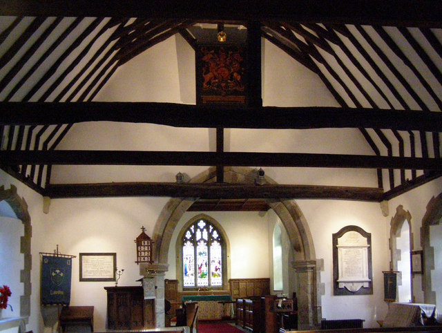
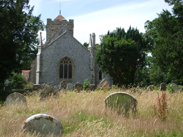
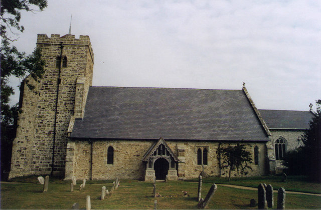
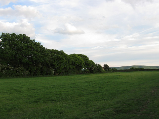
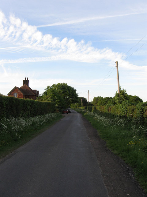
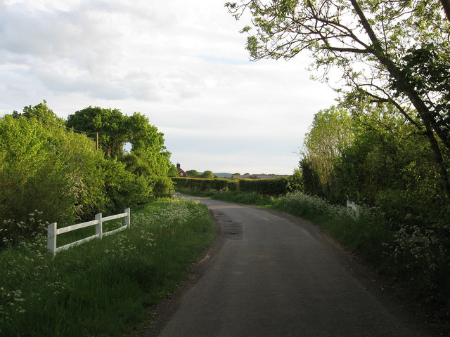
Willow Shaw Images
Images are sourced within 2km of 50.888506/0.1133368 or Grid Reference TQ4812. Thanks to Geograph Open Source API. All images are credited.

Willow Shaw is located at Grid Ref: TQ4812 (Lat: 50.888506, Lng: 0.1133368)
Administrative County: East Sussex
District: Wealden
Police Authority: Sussex
What 3 Words
///impulse.cycled.decoding. Near Ringmer, East Sussex
Nearby Locations
Related Wikis
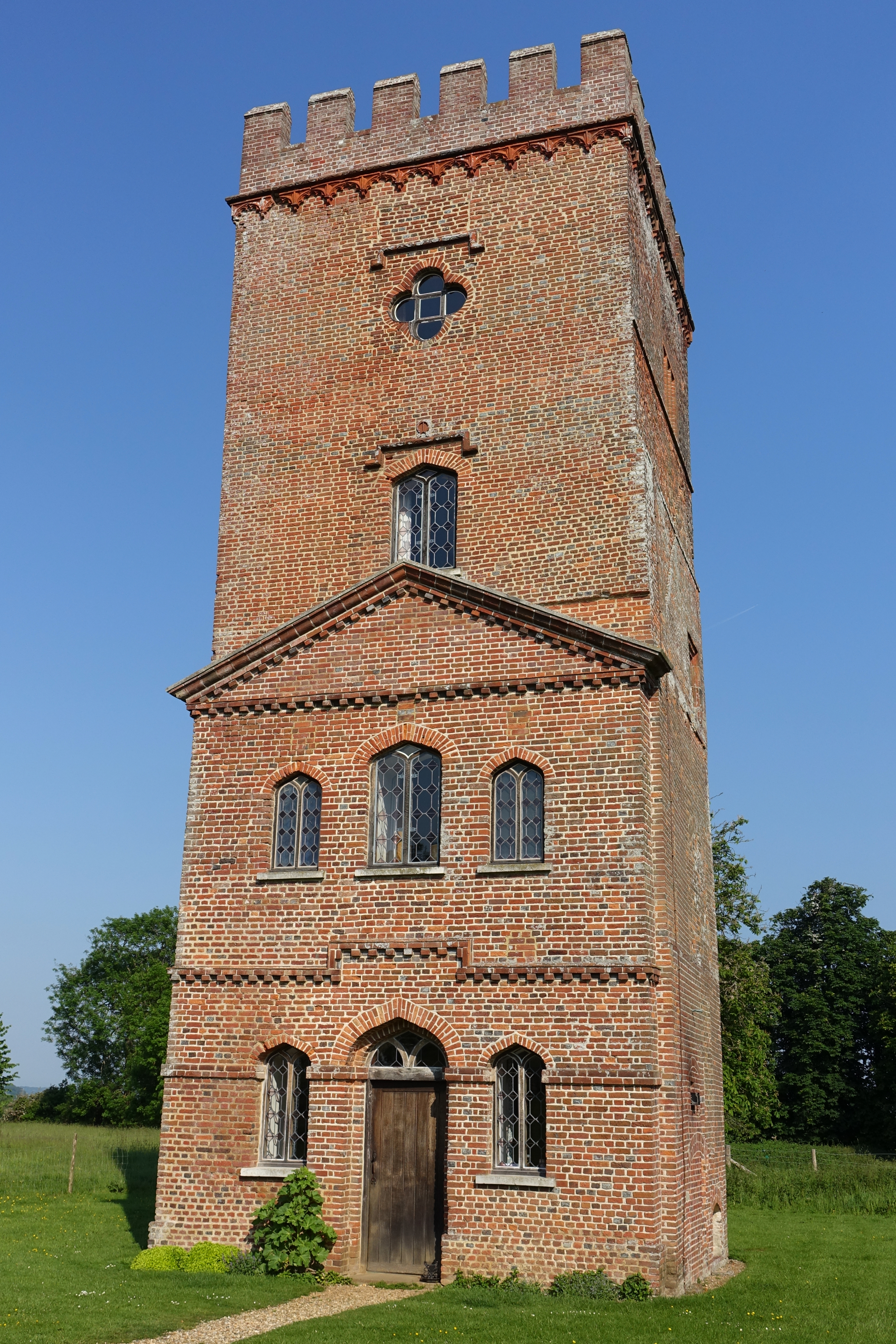
Laughton Place
Laughton Place is a historic building near Lewes, Sussex owned by the Landmark Trust. The Pelham family bought Laughton Place, an old fortified manor,...

Broyle Place
Broyle Place is a historic house in Sussex, England. It is a Grade II listed Elizabethan manor house. In the 12th century, it belonged to Theobald, Archbishop...

Laughton, East Sussex
Laughton is a village and civil parish in the Wealden district of East Sussex, England. The village is located five miles (8 km) east of Lewes, at a junction...
RAF Deanland
RAF Deanland is a former Royal Air Force advanced landing ground located 4 miles (6.4 km) west of Hailsham, East Sussex and 13.4 miles (21.6 km) north...
Ringmer A.F.C.
Ringmer Association Football Club is a football club based in Ringmer, England. They are currently members of the Mid-Sussex League Premier Division and...

King's Academy Ringmer
King's Academy Ringmer is an academy school and a specialist technology college. It is located in the village of Ringmer, East Sussex, England. The school...

Park Corner Heath
Park Corner Heath is a 2.9-hectare (7.2-acre) biological Site of Special Scientific Interest about 1.2 miles (2 km) south of East Hoathly, adjacent to...

Glyndebourne Festival Opera
Glyndebourne Festival Opera is an annual opera festival held at Glyndebourne, an English country house near Lewes, in East Sussex, England. == History... ==
Nearby Amenities
Located within 500m of 50.888506,0.1133368Have you been to Willow Shaw?
Leave your review of Willow Shaw below (or comments, questions and feedback).