Black Bush Wood

Wood, Forest in Kent

England

Black Bush Wood

Well Hill
Well Hill Credit: N Chadwick

Black Bush Wood is a picturesque woodland located in Kent, England. Covering an area of approximately 50 acres, it is known for its natural beauty and diverse wildlife. The wood is situated near the village of Kent and is easily accessible for visitors.

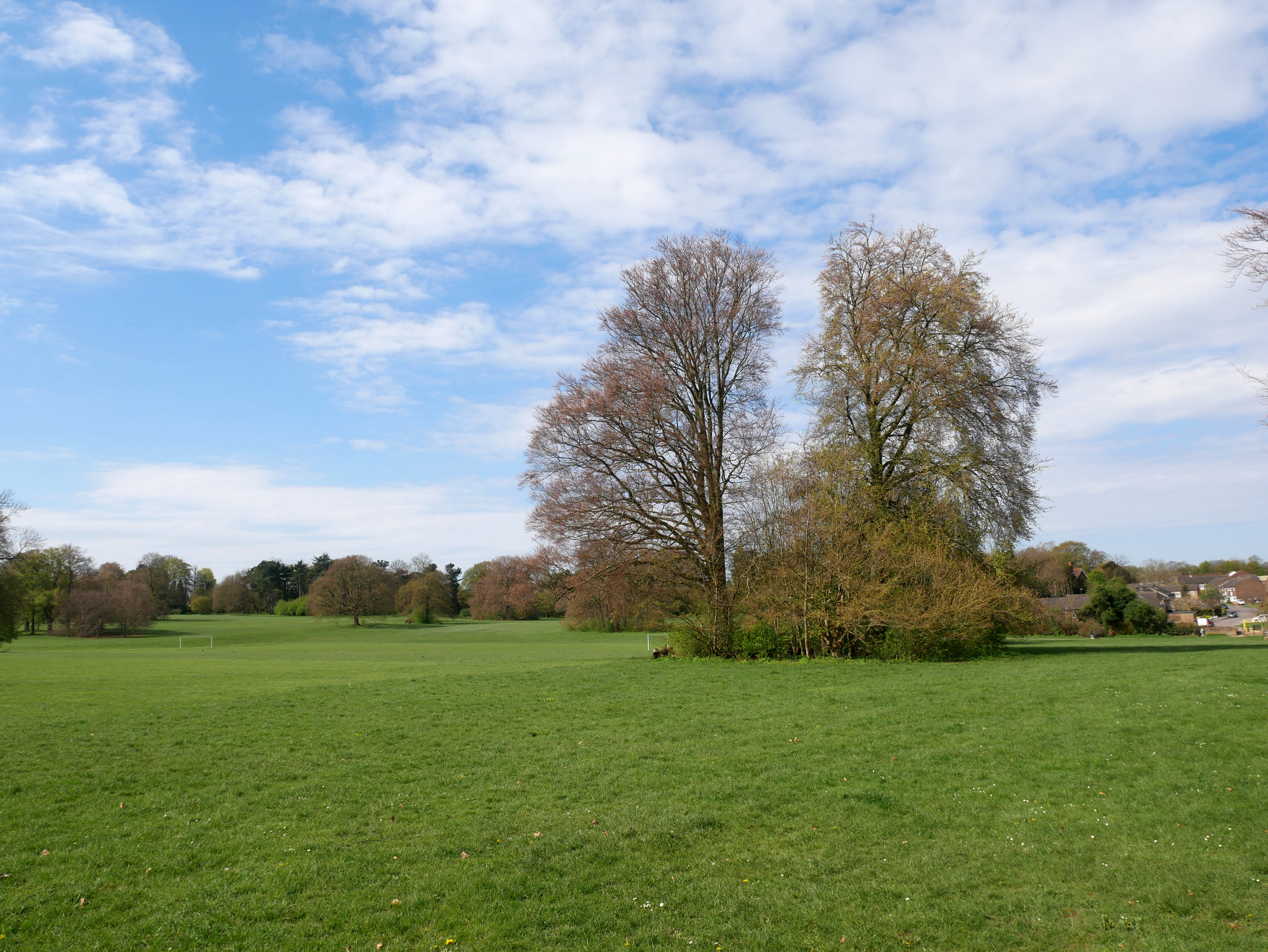
The woodland is predominantly composed of native broadleaf trees, including oak, beech, and ash, creating a dense and shady canopy. This makes it an ideal habitat for a wide range of flora and fauna. The forest floor is carpeted with bluebells in the spring, adding a burst of color to the surroundings.

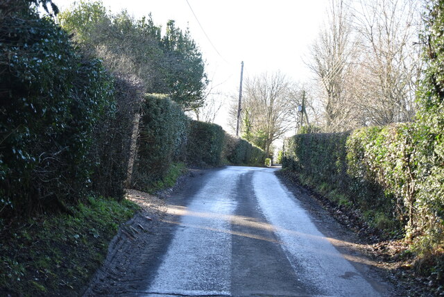
Walking through Black Bush Wood, visitors can enjoy a network of well-maintained footpaths that lead to various points of interest. These paths offer a peaceful and tranquil setting for nature lovers and provide opportunities for bird watching and wildlife spotting.

The wood is home to a rich variety of bird species, such as woodpeckers, jays, and tawny owls. Additionally, deer, foxes, and squirrels can often be spotted roaming amidst the trees. The diverse ecosystem of Black Bush Wood also supports a range of insects, including butterflies and beetles.

The wood is a popular destination for outdoor enthusiasts who enjoy activities such as walking, jogging, and picnicking. It offers a serene escape from the hustle and bustle of everyday life, making it an appealing destination for individuals and families seeking relaxation and connection with nature.

Overall, Black Bush Wood is a natural treasure in Kent, providing a haven for wildlife and a peaceful retreat for visitors to enjoy the beauty of the woodland environment.

If you have any feedback on the listing, please let us know in the comments section below.

Black Bush Wood Images

Images are sourced within 2km of 51.363414/0.13479684 or Grid Reference TQ4864. Thanks to Geograph Open Source API. All images are credited.

Well Hill
Well Hill
Well Hill
Well Hill
Firminger Rd, Well Hill junction
Firminger Rd
Firminger Rd
Entering Well Hill
Entering Well Hill
Stone House
Stone House
Pump Lane (Upper)
Pump Lane (Upper)
Cheviot Cottage
Cheviot Cottage
Pump Lane
Pump Lane
View towards Central London
Pump Lane
Pump Lane
White Cottage
White Cottage
View towards Central London
Cottages, Pump Lane
Cottages, Pump Lane
End of Pump Lane
End of Pump Lane
Well Hill
Well Hill
Telephone box, Well Hill The iconic red telephone kiosk was the result of a competition in 1924 to design a telephone box suitable for London Metropolitan Boroughs. A design by Giles Gilbert Scott, a British Architect, was chosen. The box, to be known as the K2 was deployed in London in 1926. The post office suggested it be painted red.

The K6 was introduced in 1935, designed to commemorate the silver jubilee of King George V. It was a smaller version of the K2, and went on to be installed prolifically around the country. It is the most recognised and iconic telephone box, that many people around  the world are familiar with. The first K6 is still to be found outside the Royal Academy of Art in London.

Other versions of the red telephone box were designed and implemented but none were ever to survive the popularity of the K6.

Over 240,000 red telephone boxes were built between the 1920s and 1980s.
BT had replaced many red telephone boxes during the 1980s and 90s with the aluminium KX100, leading to English Heritage to designate over 2000 as listed structures. Only 9400 K6's remain. 

BT offered councils to 'adopt-a-kiosk' for £1 to keep local K6's in place. Many have found alternate uses as mini libraries/book exchanges & art galleries, and even for storage of heart defibrillators.
Telephone box, Well Hill
The iconic red telephone kiosk was the result of a competition in 1924 to design a telephone box suitable for London Metropolitan Boroughs. A design by Giles Gilbert Scott, a British Architect, was chosen. The box, to be known as the K2 was deployed in London in 1926. The post office suggested it be painted red. The K6 was introduced in 1935, designed to commemorate the silver jubilee of King George V. It was a smaller version of the K2, and went on to be installed prolifically around the country. It is the most recognised and iconic telephone box, that many people around the world are familiar with. The first K6 is still to be found outside the Royal Academy of Art in London. Other versions of the red telephone box were designed and implemented but none were ever to survive the popularity of the K6. Over 240,000 red telephone boxes were built between the 1920s and 1980s. BT had replaced many red telephone boxes during the 1980s and 90s with the aluminium KX100, leading to English Heritage to designate over 2000 as listed structures. Only 9400 K6's remain. BT offered councils to 'adopt-a-kiosk' for £1 to keep local K6's in place. Many have found alternate uses as mini libraries/book exchanges & art galleries, and even for storage of heart defibrillators.
Well Hill
Well Hill
Show me another place!

Black Bush Wood is located at Grid Ref: TQ4864 (Lat: 51.363414, Lng: 0.13479684)

Unitary Authority: Bromley

Police Authority: Metropolitan

What 3 Words

///jokes.rider.clean. Near Orpington, London
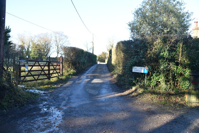
Related Wikis

Chelsfield

Chelsfield is an area in south-east London, England, within the London Borough of Bromley and, prior to 1965, in the historic county of Kent. It lies south...
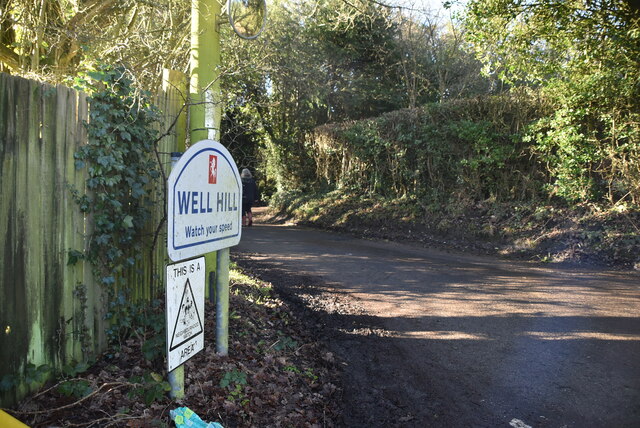
Well Hill

Well Hill is a small rural hamlet within the civil parish of Shoreham in the Sevenoaks District of Kent, England. It lies 3 miles south east of Orpington...

Goddington

Goddington is an area in south-east London, located in the London Borough of Bromley. It is situated south of Ramsden, south-east of Orpington town centre...

Ramsden, Orpington

Ramsden is an area in south-east London, generally considered a suburb of Orpington, located in the London Borough of Bromley and, prior to 1965, within...

Nearby Amenities

Located within 500m of 51.363414,0.13479684
Coal tax post
Historic: boundary_stone
Inscription: 24 & 25 VICT CAP 42
Material: iron
Note: Coal tax boundary marker 200
Source: https://iainpetrie.typepad.com/the_four_ages_of_sand/2011/06/what-is-act-24-25-vict-cap-42.html
Wikidata: Q5137685
Wikipedia: en:Coal-tax post
Lat/Long: 51.3658671/0.1303133
Barrier: kissing_gate
Bicycle: no
Foot: yes
Horse: no
Motor Vehicle: no
Lat/Long: 51.3608468/0.1369894
The data included in this document is from www.openstreetmap.org. The data is made available under ODbL.

Have you been to Black Bush Wood?

Leave your review of Black Bush Wood below (or comments, questions and feedback).