Gravelpit Plantation

Wood, Forest in Cambridgeshire South Cambridgeshire

England

Gravelpit Plantation

Track and ploughed field South of Hinxton Grange at sunset.
Track and ploughed field Credit: Jonathan Billinger

Gravelpit Plantation is a scenic woodland area located in Cambridgeshire, a county in the eastern part of England. Covering an expansive area of approximately 100 acres, this plantation is nestled in the heart of the county, providing a peaceful retreat for nature enthusiasts and outdoor adventurers alike.

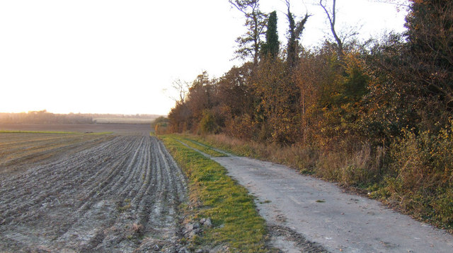
The plantation is predominantly composed of dense woodland, with towering trees and a diverse range of flora and fauna. The lush greenery consists of a variety of tree species, including oak, beech, and birch, which create a stunning canopy overhead. The forest floor is carpeted with a rich array of wildflowers, ferns, and mosses, adding to the natural beauty of the area.

Gravelpit Plantation is known for its picturesque walking trails, which wind their way through the woodland, offering visitors the opportunity to explore its hidden treasures. The trails are well-maintained and suitable for all ages and fitness levels. As visitors traverse the pathways, they may encounter a host of wildlife, such as deer, rabbits, and a wide variety of bird species.

In addition to its natural splendor, Gravelpit Plantation also offers recreational facilities, including picnic areas and benches, where visitors can relax and enjoy the tranquil surroundings. The plantation is popular among families, who often gather here for outdoor activities and picnics during the warmer months.

Overall, Gravelpit Plantation in Cambridgeshire is a captivating woodland area, boasting a diverse ecosystem and providing an idyllic setting for nature lovers to immerse themselves in the beauty of the English countryside.

If you have any feedback on the listing, please let us know in the comments section below.

Gravelpit Plantation Images

Images are sourced within 2km of 52.092887/0.16750766 or Grid Reference TL4846. Thanks to Geograph Open Source API. All images are credited.

Track and ploughed field South of Hinxton Grange at sunset.
Track and ploughed field
South of Hinxton Grange at sunset.
Field track beyond a little-used farm store at Hinxton Piles of beets surrounded by straw bales, a few empty farm buildings then this track heading nowhere.
Field track beyond a little-used farm store at Hinxton
Piles of beets surrounded by straw bales, a few empty farm buildings then this track heading nowhere.
Unused farm store near Hinxton
Hinxton from the air Junction 9a (nearest camera) and 9 of the M11 motorway are prominent.
Hinxton from the air
Junction 9a (nearest camera) and 9 of the M11 motorway are prominent.
Duxford Chapel A small 14th century chapel once part of hospital. The building is opened and run by English Heritage. See <span class="nowrap"><a title="http://www.english-heritage.org.uk/daysout/properties/duxford-chapel/" rel="nofollow ugc noopener" href="http://www.english-heritage.org.uk/daysout/properties/duxford-chapel/">Link</a><img style="margin-left:2px;" alt="External link" title="External link - shift click to open in new window" src="https://s1.geograph.org.uk/img/external.png" width="10" height="10"/></span>
Duxford Chapel
A small 14th century chapel once part of hospital. The building is opened and run by English Heritage. See LinkExternal link
Duxford Chapel Easter sepulchre and southern doorway.
Duxford Chapel
Easter sepulchre and southern doorway.
Duxford Chapel A small 14th century chapel once part of hospital. The building is opened and run by English Heritage. See <span class="nowrap"><a title="http://www.english-heritage.org.uk/daysout/properties/duxford-chapel/" rel="nofollow ugc noopener" href="http://www.english-heritage.org.uk/daysout/properties/duxford-chapel/">Link</a><img style="margin-left:2px;" alt="External link" title="External link - shift click to open in new window" src="https://s1.geograph.org.uk/img/external.png" width="10" height="10"/></span>
Duxford Chapel
A small 14th century chapel once part of hospital. The building is opened and run by English Heritage. See LinkExternal link
Hinxton Watermill - Stone Nut A view of one of the stone nuts running off the great spur wheel. To the right of that the drive for a water pump downstairs can be seen.
Hinxton Watermill - Stone Nut
A view of one of the stone nuts running off the great spur wheel. To the right of that the drive for a water pump downstairs can be seen.
Hinxton Watermill This is the best view of the mill from the footpath.
Hinxton Watermill
This is the best view of the mill from the footpath.
Mill Stream The stream is a few metres higher than natural providing a good head of water to the turbine in Hinxton Watermill behind me.
Mill Stream
The stream is a few metres higher than natural providing a good head of water to the turbine in Hinxton Watermill behind me.
Hinxton Watermill - Stone Floor A view of the stone floor with three sets of grinding stones. One is in action.
Hinxton Watermill - Stone Floor
A view of the stone floor with three sets of grinding stones. One is in action.
Hinxton Watermill - Great Spur Wheel This is the best view of the great spur wheel, quite difficult to get a good picture with flash. Note the drive for the sack hoist.
Hinxton Watermill - Great Spur Wheel
This is the best view of the great spur wheel, quite difficult to get a good picture with flash. Note the drive for the sack hoist.
Hinxton Watermill - Pond A view of the pond and overflow. The channel is much higher than the natural level providing a hood head of water for the water turbine.
Hinxton Watermill - Pond
A view of the pond and overflow. The channel is much higher than the natural level providing a hood head of water for the water turbine.
Hinxton Watermill - Meal Floor A view of the meal floor, the flour can be seen coming out. One of the three tentering beams is also visible. Behind the wooden shuttering is the site of the pit wheel. The wallower and shaft for the great spur wheel survive. The pit wheel became disused after a water turbine connected straight to the great spur wheel was installed.
Hinxton Watermill - Meal Floor
A view of the meal floor, the flour can be seen coming out. One of the three tentering beams is also visible. Behind the wooden shuttering is the site of the pit wheel. The wallower and shaft for the great spur wheel survive. The pit wheel became disused after a water turbine connected straight to the great spur wheel was installed.
Show me another place!

Gravelpit Plantation is located at Grid Ref: TL4846 (Lat: 52.092887, Lng: 0.16750766)

Administrative County: Cambridgeshire

District: South Cambridgeshire

Police Authority: Cambridgeshire

What 3 Words

///reach.access.takeovers. Near Duxford, Cambridgeshire

Nearby Locations

Gravelpit Plantation

Related Wikis

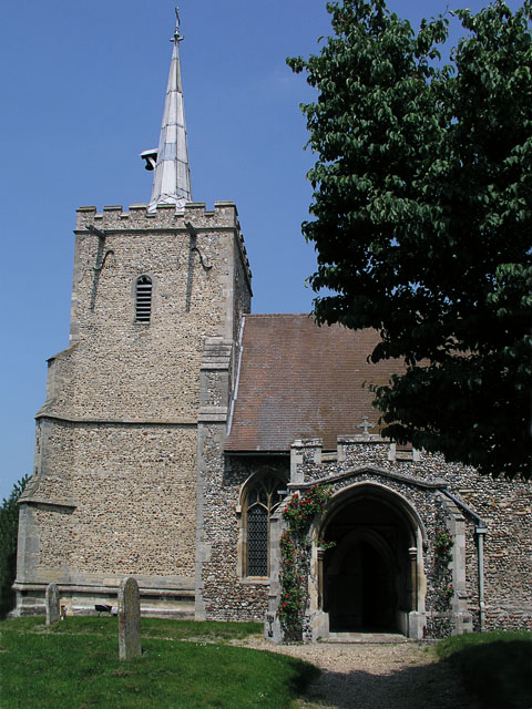
St Peter's Church, Duxford

St Peter's Church is a Church of England parish church in the village of Duxford in Cambridgeshire. From medieval times until the 19th century it was one...

Parachute Regiment and Airborne Forces Museum

The Parachute Regiment and Airborne Forces Museum is based at Duxford in Cambridgeshire and tells the story of the Parachute Regiment and other airborne...

Duxford

Duxford is a village in Cambridgeshire, England, about 10 miles (16 km) south of Cambridge. It is part of the Hundred Parishes area. == History == The...

St John's Church, Duxford

St John's Church is a redundant Anglican church in the village of Duxford, Cambridgeshire, England. In 1967 it was recorded in the National Heritage List...
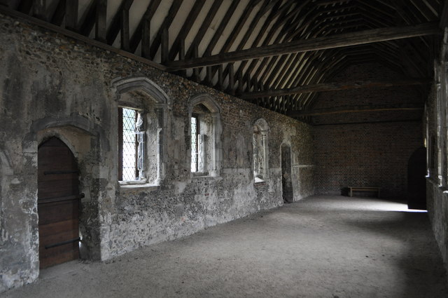
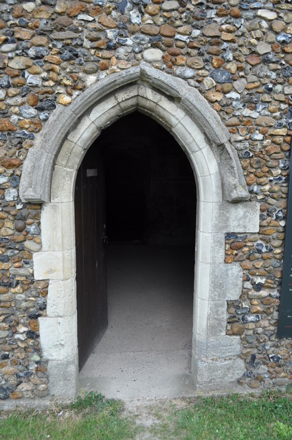
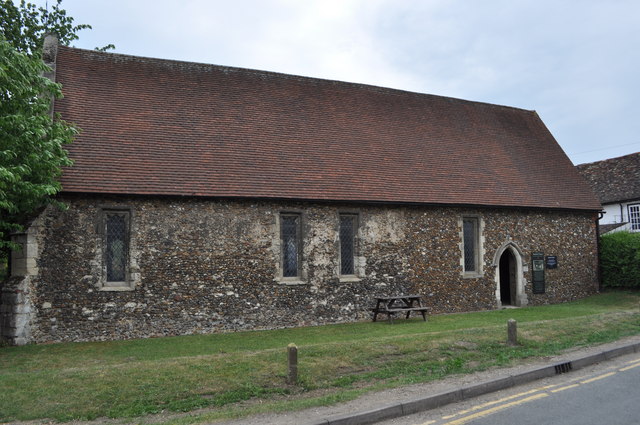
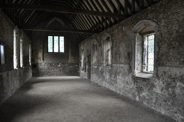
Duxford Chapel

Duxford Chapel is a chapel that was once part of the Hospital of St. John, founded by William de Colville (d.1230) at Duxford, in Cambridgeshire, England...

Whittlesford Parkway railway station

Whittlesford Parkway railway station is on the West Anglia Main Line serving the village of Whittlesford in Cambridgeshire, England. It is 49 miles 1 chain...

St Mary and St John Church, Hinxton

St Mary and St John Church is a Church of England parish church in the village of Hinxton in Cambridgeshire. It is a medieval flint and rubble church in...

Wellcome Genome Campus

The Wellcome Genome Campus is a scientific research campus built in the grounds of Hinxton Hall, Hinxton in Cambridgeshire, England. == Campus == The Campus...

Nearby Amenities

Located within 500m of 52.092887,0.16750766
Source: npe
Lat/Long: 52.0963894/0.1643733
Source: npe
Lat/Long: 52.0951515/0.1642478
Source: npe
Lat/Long: 52.0946425/0.1637486
Source: npe
Lat/Long: 52.0948956/0.1625845
Source: npe
Lat/Long: 52.0938436/0.1612488
Source: npe
Lat/Long: 52.092845/0.1607869
Source: npe
Lat/Long: 52.0903832/0.1659185
Source: npe
Lat/Long: 52.0904103/0.1665617
Source: npe
Lat/Long: 52.0902905/0.1684112
Source: npe
Lat/Long: 52.0898513/0.1690265
Source: npe
Lat/Long: 52.0889512/0.1704916
Duxford Mill
Man Made: watermill
Wikidata: Q26420993
Lat/Long: 52.0951758/0.1631446
Railway: switch
Lat/Long: 52.0891239/0.1697168
Power: pole
Lat/Long: 52.0963195/0.1719132
Power: pole
Lat/Long: 52.095545/0.1716825
Power: pole
Lat/Long: 52.0924339/0.1709637
Power: pole
Lat/Long: 52.094553/0.1713821
Power: pole
Lat/Long: 52.089751/0.1690542
Power: pole
Lat/Long: 52.0907826/0.1701054
Power: pole
Lat/Long: 52.0915507/0.1708564
Power: pole
Lat/Long: 52.0933041/0.171012
Source: npe
Lat/Long: 52.0916746/0.1622831
Source: npe
Lat/Long: 52.0911246/0.1638254
Source: npe
Lat/Long: 52.0911324/0.1638296
Source: npe
Lat/Long: 52.0911324/0.1638296
Railway: switch
Lat/Long: 52.0897484/0.1693145
Generator Method: photovoltaic
Generator Output Electricity: yes
Generator Source: solar
Generator Type: solar_photovoltaic_panel
Location: roof
Power: generator
Lat/Long: 52.0918442/0.1607662
Generator Method: photovoltaic
Generator Output Electricity: yes
Generator Source: solar
Generator Type: solar_photovoltaic_panel
Location: roof
Power: generator
Lat/Long: 52.0918228/0.1608494
Generator Method: photovoltaic
Generator Output Electricity: yes
Generator Source: solar
Generator Type: solar_photovoltaic_panel
Location: roof
Power: generator
Lat/Long: 52.0916992/0.1608655
Generator Method: photovoltaic
Generator Output Electricity: yes
Generator Source: solar
Generator Type: solar_photovoltaic_panel
Location: roof
Power: generator
Lat/Long: 52.0917008/0.1609486
Generator Method: photovoltaic
Generator Output Electricity: yes
Generator Source: solar
Generator Type: solar_photovoltaic_panel
Location: roof
Power: generator
Lat/Long: 52.0907022/0.1614368
Generator Method: photovoltaic
Generator Output Electricity: yes
Generator Source: solar
Generator Type: solar_photovoltaic_panel
Location: roof
Power: generator
Lat/Long: 52.0907335/0.1615387
Generator Method: photovoltaic
Generator Output Electricity: yes
Generator Source: solar
Generator Type: solar_photovoltaic_panel
Location: roof
Power: generator
Lat/Long: 52.0909032/0.1623367
Generator Method: photovoltaic
Generator Output Electricity: yes
Generator Source: solar
Generator Type: solar_photovoltaic_panel
Location: roof
Power: generator
Lat/Long: 52.0909436/0.1623943
Generator Method: photovoltaic
Generator Output Electricity: yes
Generator Source: solar
Generator Type: solar_photovoltaic_panel
Location: roof
Power: generator
Lat/Long: 52.0906264/0.1612249
Generator Method: photovoltaic
Generator Output Electricity: yes
Generator Source: solar
Generator Type: solar_photovoltaic_panel
Location: roof
Power: generator
Lat/Long: 52.0903511/0.1615012
Generator Method: photovoltaic
Generator Output Electricity: yes
Generator Source: solar
Generator Type: solar_photovoltaic_panel
Location: roof
Power: generator
Lat/Long: 52.0902078/0.1618525
The data included in this document is from www.openstreetmap.org. The data is made available under ODbL.

Have you been to Gravelpit Plantation?

Leave your review of Gravelpit Plantation below (or comments, questions and feedback).