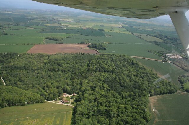
Barn Orchard
Wood, Forest in Lincolnshire East Lindsey
England
Barn Orchard
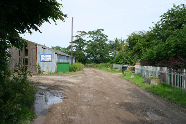
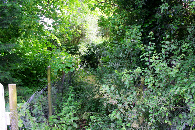
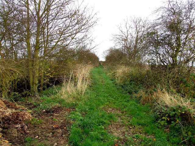
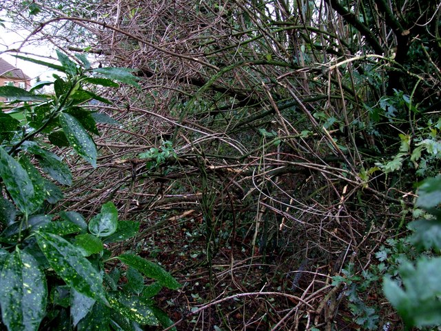
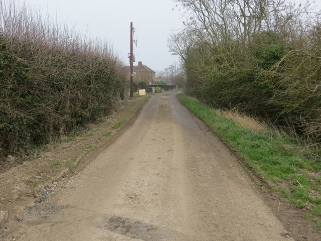
Barn Orchard is a picturesque woodland located in the county of Lincolnshire, England. Covering an area of approximately 100 acres, it is a haven of natural beauty and tranquility. The orchard is predominantly composed of a variety of trees, including oak, beech, and birch, which create a dense and enchanting forest environment.
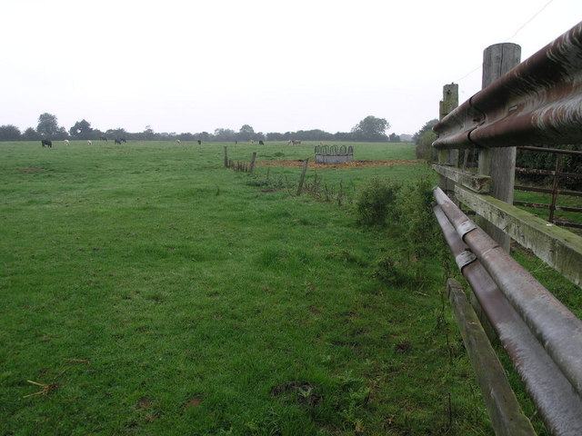
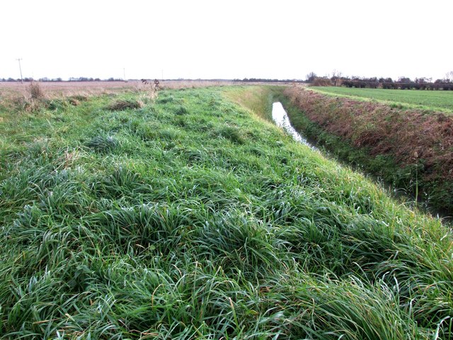
The woodland is home to a diverse range of flora and fauna, providing a rich habitat for numerous species. Visitors can spot an array of wildlife, such as deer, foxes, and various species of birds, making it a popular destination for nature enthusiasts and photographers.
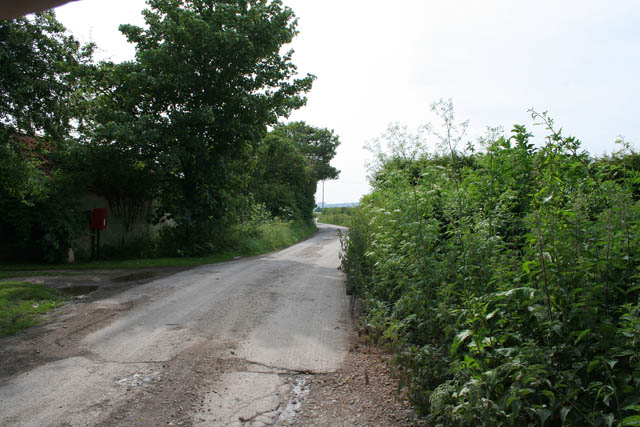
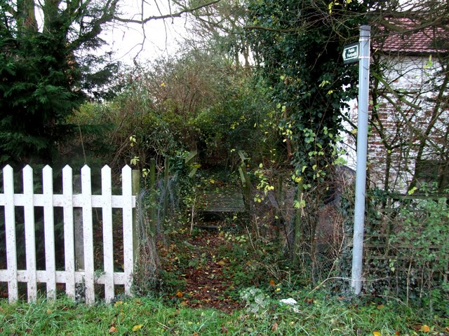
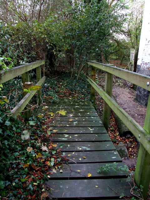
Barn Orchard offers visitors the opportunity to explore its winding pathways and discover its hidden treasures. Walking through the forest, one can admire the majestic trees towering overhead and breathe in the fresh, crisp air. The enchanting atmosphere is further enhanced by the presence of a babbling brook that meanders through the woods, adding to the idyllic charm of the location.
In addition to its natural beauty, Barn Orchard also boasts several amenities for visitors to enjoy. There are picnic areas and benches scattered throughout the woodland, providing the perfect spot for a leisurely lunch surrounded by the beauty of nature. The orchard also features a small café where visitors can indulge in refreshments and snacks.
Overall, Barn Orchard in Lincolnshire is a delightful destination for those seeking a peaceful retreat in the heart of nature. Its lush woodland, diverse wildlife, and tranquil ambiance make it a truly enchanting place to visit.
If you have any feedback on the listing, please let us know in the comments section below.
Barn Orchard Images
Images are sourced within 2km of 53.196156/0.22083569 or Grid Reference TF4868. Thanks to Geograph Open Source API. All images are credited.


Barn Orchard is located at Grid Ref: TF4868 (Lat: 53.196156, Lng: 0.22083569)
Administrative County: Lincolnshire
District: East Lindsey
Police Authority: Lincolnshire
What 3 Words
///covenants.nodded.popped. Near Burgh le Marsh, Lincolnshire
Nearby Locations
Related Wikis

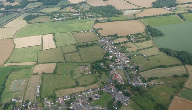
Welton le Marsh
Welton le Marsh (or Welton in the Marsh) is a village and civil parish in the East Lindsey district of Lincolnshire, England. It is situated approximately...

Orby
Orby is a village and civil parish in the East Lindsey district of Lincolnshire, England. It is situated approximately 9 miles (14 km) east from the town...
Sloothby
Sloothby is a small village in the East Lindsey district of Lincolnshire, England. It is situated approximately 5 miles (8 km) south from the Lincolnshire...

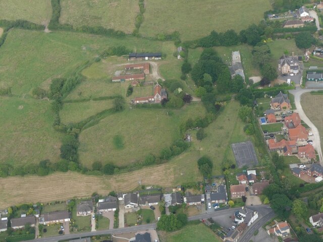
Thwaite Priory
Thwaite Priory was a monastery at Welton le Marsh in Lincolnshire, England. It was a house of Augustinian Canons Regular, dependent on Thornton Abbey...

Burgh-le-Marsh railway station
Burgh-le-Marsh was a railway station on the East Lincolnshire Railway which served the town of Burgh le Marsh in Lincolnshire between 1848 and 1970. It...

Gunby Hall
Gunby Hall is a country house in Gunby, near Spilsby, in Lincolnshire, England, reached by a half mile long private drive. The Estate comprises the 42...

Willoughby with Sloothby
Willoughby with Sloothby is a civil parish in the East Lindsey district of Lincolnshire in the East Midlands of England. The parish includes the settlements...
Willoughby, Lincolnshire
Willoughby is a village in the district of East Lindsey, Lincolnshire, England. It is situated three miles (five kilometres) south from the market town...
Nearby Amenities
Located within 500m of 53.196156,0.22083569Have you been to Barn Orchard?
Leave your review of Barn Orchard below (or comments, questions and feedback).