Roundhill Plantation

Wood, Forest in Sussex Lewes

England

Roundhill Plantation

Flowers in the Beanstalk Tea Garden
Flowers in the Beanstalk Tea Garden Credit: Ian Cunliffe

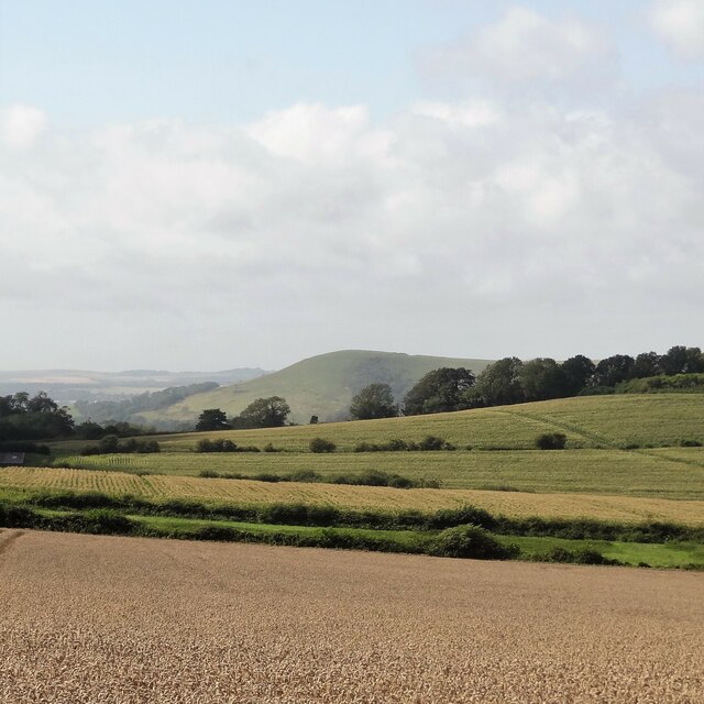
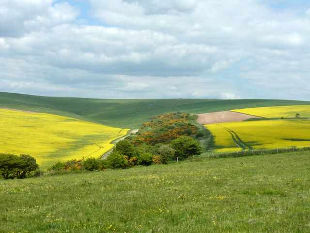
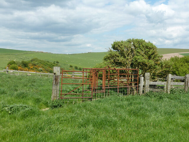
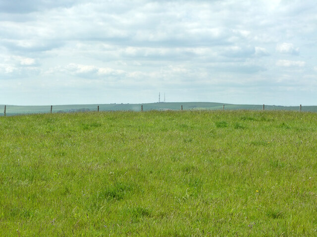
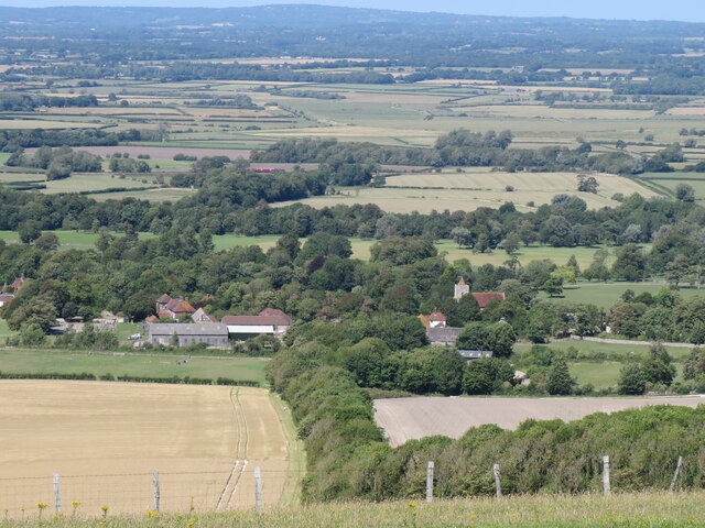
Roundhill Plantation, located in Sussex, England, is a picturesque woodland area known for its serene beauty and rich history. Spanning over several acres, this dense forest is home to a diverse range of plant and animal species, making it a haven for nature enthusiasts.

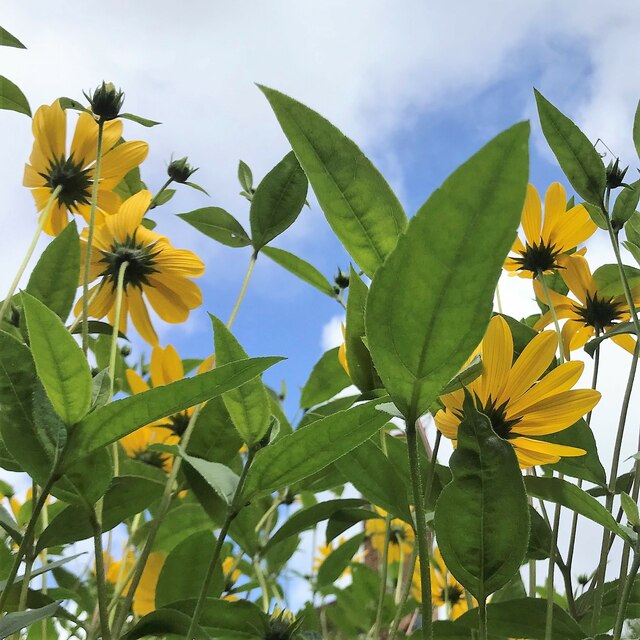
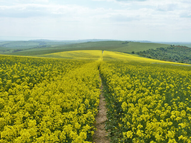
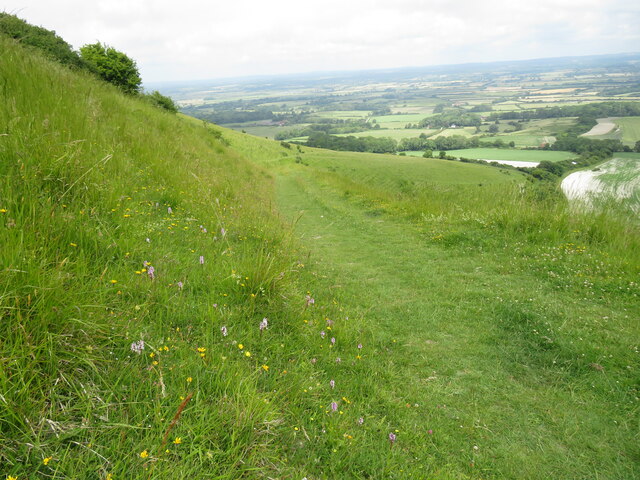
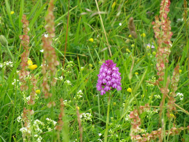
The plantation is characterized by its tall, majestic trees, including oak, beech, and ash, which create a canopy of green foliage that engulfs the area. The forest floor is covered in a thick carpet of moss, ferns, and wildflowers, adding to its natural charm. Walking trails wind their way through the plantation, offering visitors the chance to explore its hidden nooks and crannies.

Roundhill Plantation has a long and storied history, dating back to the medieval period. It was originally part of a larger estate, owned by a local noble family. Over the years, the plantation has been managed and preserved by various organizations, ensuring its conservation and protection.

Due to its tranquil ambiance and picturesque scenery, Roundhill Plantation has become a popular destination for hikers, birdwatchers, and photographers. The forest is home to a variety of bird species, including woodpeckers, owls, and songbirds, providing ample opportunities for birdwatching enthusiasts.

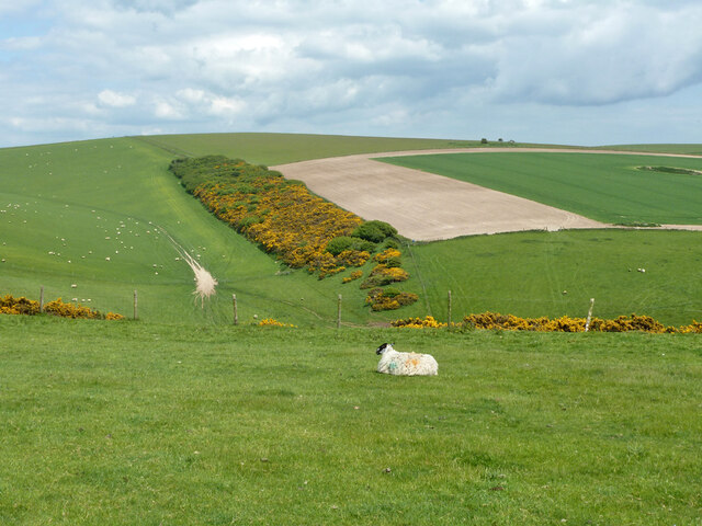
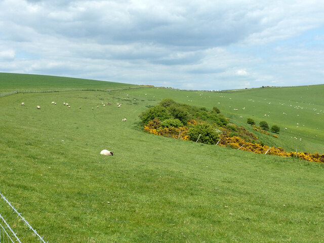
In addition to its natural beauty, the plantation also plays an important role in the local ecosystem. Its trees act as carbon sinks, absorbing carbon dioxide and helping to mitigate climate change. The forest also provides a habitat for numerous wildlife species, including deer, foxes, and squirrels.

Overall, Roundhill Plantation in Sussex is a treasured natural gem, offering visitors a chance to immerse themselves in the tranquility of nature while exploring its rich history and diverse ecosystem.

If you have any feedback on the listing, please let us know in the comments section below.

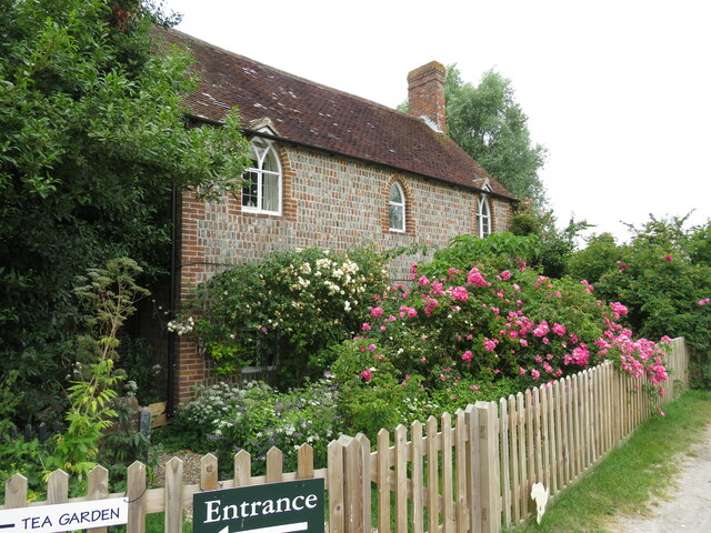
Roundhill Plantation Images

Images are sourced within 2km of 50.836079/0.10649362 or Grid Reference TQ4806. Thanks to Geograph Open Source API. All images are credited.

Flowers in the Beanstalk Tea Garden
Door in Firle
Door in Firle
View WNW towards Mount Caburn This was taken from the permissive path that links the Old Coach Road to Charleston Farmhouse.
View WNW towards Mount Caburn
This was taken from the permissive path that links the Old Coach Road to Charleston Farmhouse.
Barn and tank at Charleston Farm
Tilton Bottom
Tilton Bottom
A raped bridleway Public bridleway Alciston 15c, which becomes South Heighton 6c at the parish boundary at the end of the rape.
A raped bridleway
Public bridleway Alciston 15c, which becomes South Heighton 6c at the parish boundary at the end of the rape.
View up Bostal Bottom The bottom curves around to the left, a continuation of Blackstone Bottom, down below to the right.
View up Bostal Bottom
The bottom curves around to the left, a continuation of Blackstone Bottom, down below to the right.
View towards Bopeep car park Bopeep Bostal reaches the crest of the downs at the low point, where there is a small car park.
View towards Bopeep car park
Bopeep Bostal reaches the crest of the downs at the low point, where there is a small car park.
Derelict cattle crush The cattle were driven along an alley from the right, and trapped by the neck by a lever operated gate in order to subject them to some indignity or the other. They were then released to the left. There were no cattle to be seen in this area, it is largely sheep and arable now.
Derelict cattle crush
The cattle were driven along an alley from the right, and trapped by the neck by a lever operated gate in order to subject them to some indignity or the other. They were then released to the left. There were no cattle to be seen in this area, it is largely sheep and arable now.
Slight earthwork near bridleway As usual, hard to photograph unless a low sun gives good shadows, not the case here. This seems to be one of two bowl barrows 'reduced in height by ploughing' so 'no more than 0.3 m high' which are listed as Ancient Monuments hereabouts.
Slight earthwork near bridleway
As usual, hard to photograph unless a low sun gives good shadows, not the case here. This seems to be one of two bowl barrows 'reduced in height by ploughing' so 'no more than 0.3 m high' which are listed as Ancient Monuments hereabouts.
Firle Village Hall Built as a reading room by public subscription to honour the Gage family, owners of much of the village and land around.
Firle Village Hall
Built as a reading room by public subscription to honour the Gage family, owners of much of the village and land around.
Firle Stores The shop, as well as many of the houses in the village, is owned by the estate - had it been in private hands it could very easily have been converted to residential use
Firle Stores
The shop, as well as many of the houses in the village, is owned by the estate - had it been in private hands it could very easily have been converted to residential use
Beanstalk at Firle Cottage on the old coach road near to Firle village, welcome stop for weary walkers providing teas at weekends in summer in secluded garden to rear
Beanstalk at Firle
Cottage on the old coach road near to Firle village, welcome stop for weary walkers providing teas at weekends in summer in secluded garden to rear
Tilton Bostal Bridleway that leads off South Downs Way to provide flowery and gradual descent to Tilton, one-time home of the economist Maynard Keynes, and his associates in the Bloomsbury set at nearby Charleston
Tilton Bostal
Bridleway that leads off South Downs Way to provide flowery and gradual descent to Tilton, one-time home of the economist Maynard Keynes, and his associates in the Bloomsbury set at nearby Charleston
Pyramid orchid at Tilton Bostal Thin chalk soils on steep north-facing scarp slopes of the South Downs provide rich array of cowslips, followed here by orchids
Pyramid orchid at Tilton Bostal
Thin chalk soils on steep north-facing scarp slopes of the South Downs provide rich array of cowslips, followed here by orchids
Firle Place staircase Firle Place features in the list compiled by Simon Jenkins of the top hundred houses - some of the finest artwork and furniture - in a superb parkland below the scarp slopes  of the South Downs.
Firle Place staircase
Firle Place features in the list compiled by Simon Jenkins of the top hundred houses - some of the finest artwork and furniture - in a superb parkland below the scarp slopes of the South Downs.
Firle from the Bostal seats Firle Bostal offers free parking and seats to enjoy this panorama which includes Firle village, the busy A27, railway and the wooded landscape of the High Weald.
Firle from the Bostal seats
Firle Bostal offers free parking and seats to enjoy this panorama which includes Firle village, the busy A27, railway and the wooded landscape of the High Weald.
Bopeep  Farmhouse The farmhouse sits astride the old coach road, seen here from the top of the old chalkpit at Bopeep Bostal.
Bopeep Farmhouse
The farmhouse sits astride the old coach road, seen here from the top of the old chalkpit at Bopeep Bostal.
Show me another place!

Roundhill Plantation is located at Grid Ref: TQ4806 (Lat: 50.836079, Lng: 0.10649362)

Administrative County: East Sussex

District: Lewes

Police Authority: Sussex

What 3 Words

///expansion.hope.cascade. Near Newhaven, East Sussex

Related Wikis

Firle Beacon

Firle Beacon is a hill in the South Downs of southern England. It is 217 metres high and is a Marilyn. It commands a far-reaching view. When the prevailing...

Charleston Farmhouse

Charleston, in East Sussex, is a property associated with the Bloomsbury group, that is open to the public. It was the country home of Vanessa Bell and...

Firle

Firle (; Sussex dialect: Furrel ) is a village and civil parish in the Lewes district of East Sussex, England. Firle refers to an old-English/Anglo-Saxon...

Firle Escarpment

Firle Escarpment is a 302.1-hectare (747-acre) biological Site of Special Scientific Interest north of Seaford in East Sussex.This is a long stretch of...
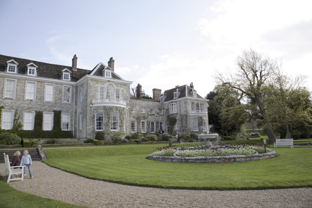
Firle Place

Firle Place is a Manor house in Firle, Sussex, United Kingdom. The Gage family have owned the land at Firle since acquiring it from the Levett family in...

Firle Hill Climb

Firle Hill Climb is a disused hillclimbing course near Lewes, East Sussex, England, sometimes referred to as Bo Peep Hill Climb. The event was celebrated...

Selmeston

Selmeston is a village and civil parish in the Wealden District of East Sussex, England. It is located eight miles (13 km) east of Lewes, to the north...

Alciston

Alciston is a village and civil parish in the Wealden district of East Sussex, England. It is inland, just off the A27 road, about ten miles (16 km) north...

Nearby Amenities

Located within 500m of 50.836079,0.10649362
Created By: Potlatch 0.10f
Historic: archaeological_site
Source: NPE
Lat/Long: 50.8338004/0.1009274
Firle Beacon
Ele: 218
Man Made: survey_point
Lat/Long: 50.8337769/0.1082455
Firle Beacon
Ele: 217
Natural: peak
Lat/Long: 50.8337692/0.1082434
The data included in this document is from www.openstreetmap.org. The data is made available under ODbL.

Have you been to Roundhill Plantation?

Leave your review of Roundhill Plantation below (or comments, questions and feedback).