Bexley Woods

Wood, Forest in Kent

England

Bexley Woods

River Cray at Hall Place The River Cray is a very clean chalk stream with natural banks for much of its length. It is followed throughout its course in Bexley by the Cray Riverway. This view looks upriver at Hall Place.
River Cray at Hall Place Credit: Marathon

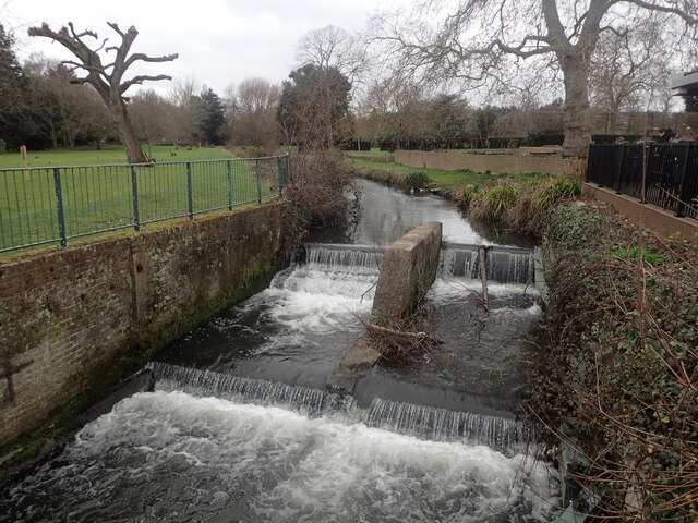
Bexley Woods, located in the county of Kent, England, is a charming woodland area that offers visitors a tranquil retreat from the hustle and bustle of city life. Covering an area of approximately 100 acres, this ancient woodland is a designated Site of Special Scientific Interest (SSSI) and is managed by the Woodland Trust.

The woods are primarily made up of a mixture of broadleaf trees, including oak, beech, and chestnut, which creates a diverse and picturesque landscape. The dense canopy of the trees provides a haven for a wide variety of wildlife, making it an ideal spot for nature enthusiasts and birdwatchers. Visitors may be lucky enough to spot native species such as woodpeckers, tawny owls, and muntjac deer.

Bexley Woods offers a network of well-maintained footpaths and trails, allowing visitors to explore the woodland at their own pace. These paths wind through the trees, leading to open glades and peaceful clearings, providing opportunities for picnics or simply enjoying the natural beauty of the surroundings.

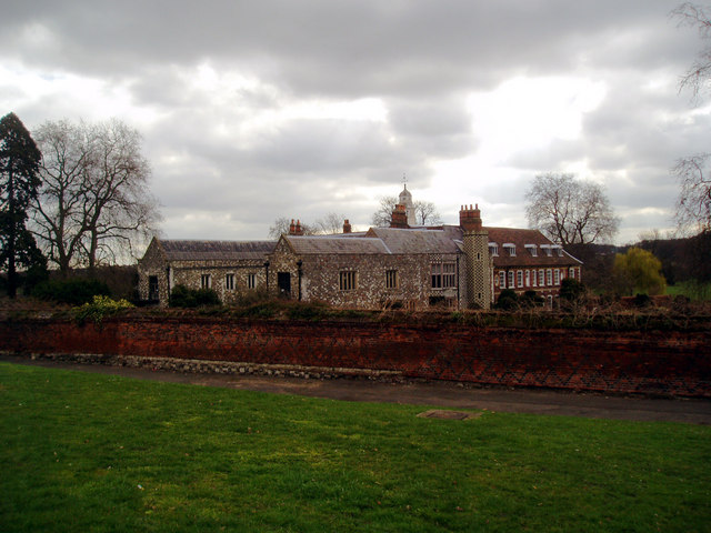
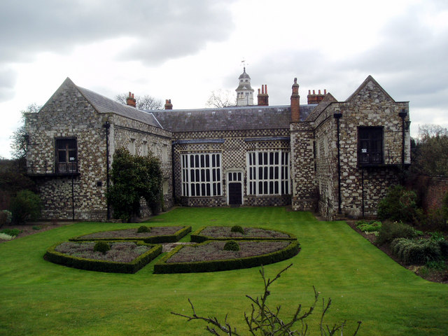
In addition to its natural beauty, Bexley Woods also has a rich historical significance. The site was once part of the ancient Bexley Manor, which dates back to the Domesday Book in 1086. Remains of medieval ditches and banks can still be seen in the woods, adding an extra layer of interest for history enthusiasts.

Overall, Bexley Woods in Kent is a captivating woodland retreat that offers a perfect blend of natural beauty, wildlife, and historical significance for visitors to enjoy.

If you have any feedback on the listing, please let us know in the comments section below.
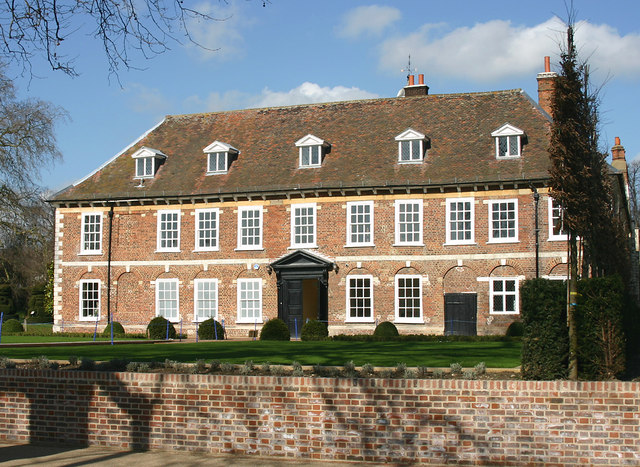
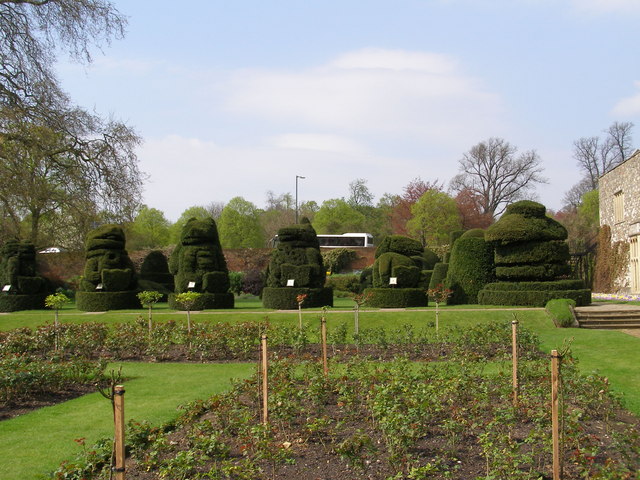
Bexley Woods Images

Images are sourced within 2km of 51.442822/0.13380702 or Grid Reference TQ4873. Thanks to Geograph Open Source API. All images are credited.

River Cray at Hall Place The River Cray is a very clean chalk stream with natural banks for much of its length. It is followed throughout its course in Bexley by the Cray Riverway. This view looks upriver at Hall Place.
River Cray at Hall Place
The River Cray is a very clean chalk stream with natural banks for much of its length. It is followed throughout its course in Bexley by the Cray Riverway. This view looks upriver at Hall Place.
1930s Apartment Block, Hill Crescent, Bexley Deserving of listed status is this almost perfectly preserved example of 1930s architecture, with its flat roof and curved corner windows.  Even the original metal window frames are still in position.  It is an architectural gem.
1930s Apartment Block, Hill Crescent, Bexley
Deserving of listed status is this almost perfectly preserved example of 1930s architecture, with its flat roof and curved corner windows. Even the original metal window frames are still in position. It is an architectural gem.
Hall Place
Hall Place
Hall Place and Rose Garden Hall Place as seen from the rose garden.
Hall Place and Rose Garden
Hall Place as seen from the rose garden.
Roadside blossom trees
Hall Place, near Sidcup, Kent
Hall Place, Bexley This is the rear, south side of the house facing the River Cray and dating from the C17.
Hall Place, Bexley
This is the rear, south side of the house facing the River Cray and dating from the C17.
'The Queen's Beasts' Topiary animals The topiary animals on the west side of the house, seen from across the rose garden.
'The Queen's Beasts' Topiary animals
The topiary animals on the west side of the house, seen from across the rose garden.
Hall Place, Bexley A Grade 1 listed country house built in 1537 for Sir John Champneys, a wealthy merchant and former Lord Mayor of London.
Hall Place, Bexley
A Grade 1 listed country house built in 1537 for Sir John Champneys, a wealthy merchant and former Lord Mayor of London.
How to have fun with a bush. The gardens at Hall Place are full of giant sized topiary shapes. these are not The Queen's Beasts which are just to the right of this group.
How to have fun with a bush.
The gardens at Hall Place are full of giant sized topiary shapes. these are not The Queen's Beasts which are just to the right of this group.
Hall Place Beasts A magnificent old building with the most amazing topiary. This is the end of the row called The Queen's Beasts.
Hall Place Beasts
A magnificent old building with the most amazing topiary. This is the end of the row called The Queen's Beasts.
The River Cray at Bexley Viewed from the cafe at Hall Place, Bexley.
The River Cray at Bexley
Viewed from the cafe at Hall Place, Bexley.
Hall Place, Bexley
Hall Place, Bexley
St Mary's Road, Coldblow
Hall Place, Bexley A grade I listed building dating from 1537.

Compare with the same viewpoint in 2007 : <a title="https://www.geograph.org.uk/photo/567955" href="https://www.geograph.org.uk/photo/567955">Link</a>
Hall Place, Bexley
A grade I listed building dating from 1537. Compare with the same viewpoint in 2007 : Link
River Cray As seen from St Marys Recreational Ground.
River Cray
As seen from St Marys Recreational Ground.
London LOOP near Churchfield Wood The London LOOP here is on its way from Bexley Village and Churchfield Wood to Hall Place. It is about to cross the A2 dual carriageway and the Crayford to Bexley railway line seen here by a complicated route to reach the far side of both the railway and the A2. The distant church spire is near Bexley Village.
London LOOP near Churchfield Wood
The London LOOP here is on its way from Bexley Village and Churchfield Wood to Hall Place. It is about to cross the A2 dual carriageway and the Crayford to Bexley railway line seen here by a complicated route to reach the far side of both the railway and the A2. The distant church spire is near Bexley Village.
Show me another place!

Bexley Woods is located at Grid Ref: TQ4873 (Lat: 51.442822, Lng: 0.13380702)

Unitary Authority: Bexley

Police Authority: Metropolitan

What 3 Words

///certified.begins.media. Near Bexley, London

Nearby Locations

Bexley Woods

Related Wikis

London Borough of Bexley

The London Borough of Bexley ( ) is a London borough in south-east London, forming part of Outer London. It has a population of 248,287. The main settlements...

Blendon, London

Blendon is an area of South East London within the London Borough of Bexley, located between Bexleyheath and Sidcup. == History == It is probably named...

Bexleyheath (UK Parliament constituency)

Bexleyheath was a parliamentary constituency in south-east London, which returned one Member of Parliament (MP) to the House of Commons of the Parliament...

Townley Grammar School

Townley Grammar School is a grammar school with academy status for girls on Townley Road, Bexleyheath, in the London Borough of Bexley, England. It was...

Albany Park railway station

Albany Park railway station is in the London Borough of Bexley in south-east London (Travelcard Zone 5). It is 12 miles 68 chains (20.7 km) down the line...

Bexley railway station

Bexley railway station is in the London Borough of Bexley in south-east London, in Travelcard Zone 6. It is 13 miles 69 chains (22.3 km) down the line...

Old Bexley and Sidcup (UK Parliament constituency)

Old Bexley and Sidcup is a constituency created in 1983 and represented in the House of Commons of the UK Parliament represented since 2021 by Louie French...

Bexley

Bexley is an area of south-eastern Greater London, England and part of the London Borough of Bexley. It is sometimes known as Bexley Village or Old Bexley...

Nearby Amenities

Located within 500m of 51.442822,0.13380702
Traffic Signals
Lat/Long: 51.4454279/0.1322039
Ref GB Tflcid: RWG183729
Traffic Calming: table
Lat/Long: 51.4406413/0.1289867
Ref GB Tflcid: RWG182389
Traffic Calming: hump
Lat/Long: 51.4427649/0.1288788
Ref GB Tflcid: RWG182390
Traffic Calming: hump
Lat/Long: 51.4424775/0.1277517
Turning Circle
Lat/Long: 51.4443569/0.1313781
Turning Circle
Lat/Long: 51.4459634/0.1296092
Bus Stop
Arbuthnot Lane
Local Ref: Z
Naptan AtcoCode: 490003357S
Naptan Bearing: S
Naptan CommonName: Arbuthnot Lane
Naptan Indicator: Stop Z
Naptan Street: ARBUTHNOT LANE
Naptan Verified: no
Public Transport: platform
Lat/Long: 51.4468408/0.1340366
Bus Stop
The Anchor
Bench: yes
Bin: no
Local Ref: E
Naptan AtcoCode: 490004325E
Naptan Bearing: E
Naptan CommonName: Bridgen The Blue Anchor
Naptan Indicator: Stop E
Naptan Verified: no
Public Transport: platform
Shelter: yes
Lat/Long: 51.445279/0.1330737
Bus Stop
Bridgen / The Anchor
Bench: no
Bin: no
Local Ref: K
Naptan AtcoCode: 490004325W
Naptan Bearing: W
Naptan CommonName: Bridgen The Blue Anchor
Naptan Indicator: Stop K
Naptan Verified: no
Public Transport: platform
Shelter: no
Lat/Long: 51.4450438/0.1335237
Bus Stop
Cross Lane
Bench: no
Bin: no
Bus: yes
Local Ref: G
Naptan AtcoCode: 490005810E
Naptan Bearing: E
Naptan CommonName: Cross Lane
Naptan Indicator: Stop G
Naptan Verified: no
Public Transport: platform
Ref: 72667
Shelter: no
Source Ref: naptan
Lat/Long: 51.4432159/0.1407725
Bus Stop
Cross Lane
Bench: yes
Bin: no
Bus: yes
Local Ref: H
Naptan AtcoCode: 490005810W
Naptan Bearing: W
Naptan CommonName: Cross Lane
Naptan Indicator: Stop H
Naptan Verified: no
Public Transport: platform
Ref: 47423
Shelter: yes
Source Ref: naptan
Lat/Long: 51.4432928/0.1398724
Bus Stop
Grangewood
Naptan AtcoCode: 490007368E
Naptan Bearing: N
Naptan CommonName: Grangewood
Naptan Street: HURST ROAD
Naptan Verified: no
Public Transport: platform
Shelter: yes
Lat/Long: 51.4398004/0.1380939
Bus Stop
Hurst Springs
Bench: yes
Bin: no
Naptan AtcoCode: 490008442E
Naptan Bearing: E
Naptan CommonName: Hurst Springs
Naptan Street: HURST ROAD
Naptan Verified: no
Note: changed bearing from naptan value
Public Transport: platform
Shelter: yes
Tactile Paving: no
Lat/Long: 51.4385787/0.1330397
Bus Stop
Riverdale Road
Bench: yes
Bin: no
Local Ref: F
Naptan AtcoCode: 490011596E
Naptan Bearing: E
Naptan CommonName: Riverdale Road
Naptan Indicator: Stop F
Naptan Street: PARKHILL ROAD
Naptan Verified: no
Public Transport: platform
Shelter: yes
Lat/Long: 51.4445348/0.1359624
Bus Stop
Riverdale Road
Bench: yes
Bin: no
Local Ref: J
Naptan AtcoCode: 490011596W
Naptan Bearing: W
Naptan CommonName: Riverdale Road
Naptan Indicator: Stop J
Naptan Street: BRIDGEN ROAD
Naptan Verified: no
Public Transport: platform
Shelter: yes
Lat/Long: 51.4447092/0.134911
Bus Stop
Valentine Avenue
Naptan AtcoCode: 490013986W
Naptan Bearing: W
Naptan CommonName: Valentine Avenue
Naptan Street: HURST ROAD
Naptan Verified: no
Public Transport: platform
Shelter: yes
Lat/Long: 51.4384762/0.132075
Bus Stop
Woodstock Close
Naptan AtcoCode: 490014905W
Naptan Bearing: W
Naptan CommonName: Woodstock Close
Naptan Street: HURST ROAD
Naptan Verified: no
Public Transport: platform
Lat/Long: 51.4402625/0.139462
Crossing
Crossing: unmarked
Crossing Island: yes
Lat/Long: 51.4446323/0.1354027
Barrier: kissing_gate
Bicycle: yes
Lat/Long: 51.4432978/0.1300393
Ref GB Tflcid: RWG182430
Traffic Calming: hump
Lat/Long: 51.4419769/0.1300046
Barrier: kissing_gate
Bicycle: yes
Lat/Long: 51.4433037/0.1297855
Bridgen
Place: quarter
Lat/Long: 51.4459597/0.1306459
Entrance: yes
Width: 1.3
Lat/Long: 51.4434184/0.1298037
Barrier: entrance
Width: 1.5
Lat/Long: 51.4445851/0.1353673
Give Way
Direction: forward
Lat/Long: 51.4448233/0.1348396
Barrier: entrance
Width: 0.6
Lat/Long: 51.444645/0.1351425
Barrier: entrance
Width: 0.8
Lat/Long: 51.4422508/0.1371688
Barrier: entrance
Width: 1.2
Lat/Long: 51.4422632/0.1371796
Access: private
Barrier: swing_gate
Locked: yes
Material: metal
Width: 3
Lat/Long: 51.4422564/0.1371736
Bench
Backrest: yes
Direction: N
Material: metal
Lat/Long: 51.4435641/0.1278596
Fixme: could it be a sewer_vent aka stink pipe aka stench pipe?
Height: 10
Man Made: vent
Material: metal
Note: Height is approximate. Please improve if you can
Lat/Long: 51.4432794/0.1289385
Boot Cleaner
Lat/Long: 51.4432849/0.1297411
Waste Basket
Lat/Long: 51.4433075/0.1297136
Street Lamp
Lat/Long: 51.4413426/0.1311205
Barrier: swing_gate
Lat/Long: 51.4408858/0.1301294
Waste Basket
Lat/Long: 51.443287/0.1312579
Waste Basket
Waste: dog_excrement
Lat/Long: 51.4432769/0.1312955
Ref GB Tflcid: RWG182369
Traffic Calming: hump
Lat/Long: 51.4444745/0.1293539
Ref GB Tflcid: RWG182384
Traffic Calming: hump
Lat/Long: 51.4443226/0.1300751
The data included in this document is from www.openstreetmap.org. The data is made available under ODbL.

Have you been to Bexley Woods?

Leave your review of Bexley Woods below (or comments, questions and feedback).