Stonehouse Wood
Wood, Forest in Sussex Wealden
England
Stonehouse Wood
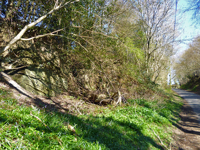
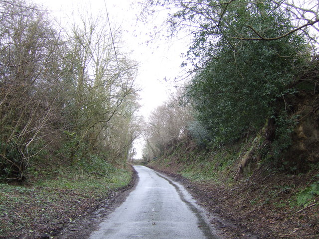
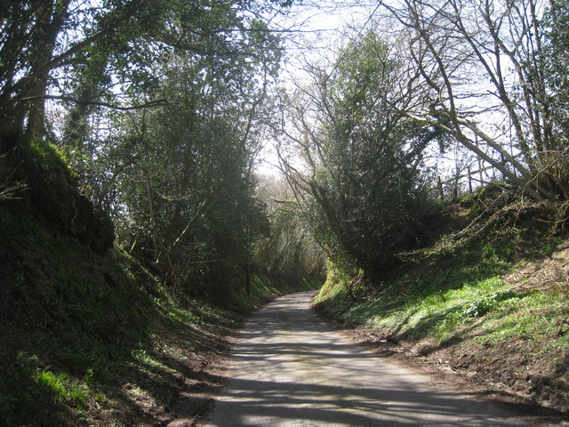
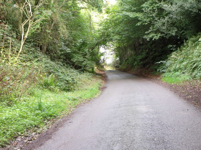
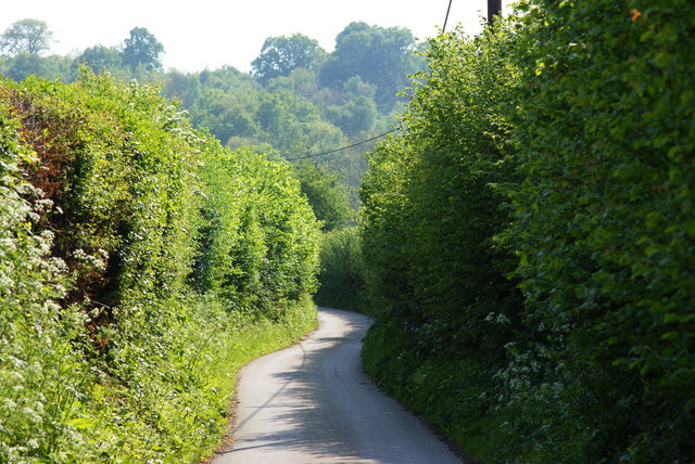
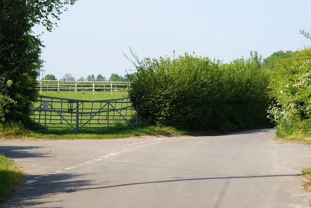
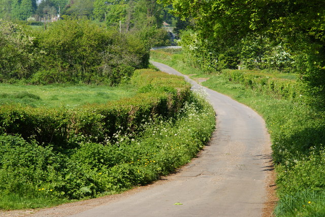
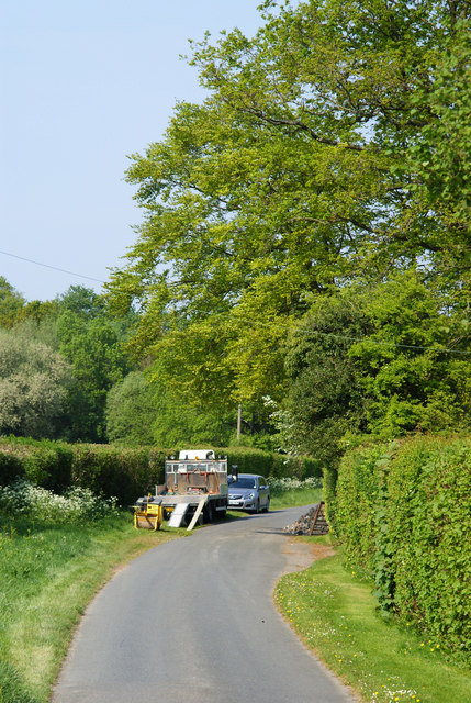
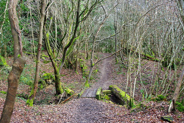
Stonehouse Wood is a picturesque forest located in Sussex, England. Spanning over a vast area, it is a popular destination for nature lovers and hikers alike. The wood is known for its diverse ecosystem and abundant wildlife, making it an ideal spot for wildlife enthusiasts and birdwatchers.
The forest is predominantly made up of ancient oak trees, which give it a mystical and enchanting ambiance. The towering trees provide a dense canopy, allowing only dappled sunlight to filter through, creating a magical atmosphere. The forest floor is covered with a thick carpet of moss, ferns, and wildflowers, adding a burst of color to the surroundings.
Stonehouse Wood is home to a wide variety of wildlife, including deer, foxes, badgers, and a multitude of bird species. The woodlands reverberate with the sounds of birdsong, making it a haven for birdwatchers. Visitors may spot woodpeckers, owls, and other avian species perched on the branches or soaring through the sky.
There are several walking trails that wind through the forest, offering visitors the opportunity to explore its natural beauty. These trails vary in difficulty and length, catering to both casual strollers and experienced hikers. Along the way, hikers may come across hidden streams, small ponds, and ancient ruins, adding an element of intrigue and history to their journey.
Stonehouse Wood is a serene and idyllic destination for those seeking a peaceful retreat amidst nature's embrace. Whether it's a leisurely walk, birdwatching, or simply immersing oneself in the tranquility of the surroundings, this forest never fails to captivate its visitors with its timeless beauty.
If you have any feedback on the listing, please let us know in the comments section below.
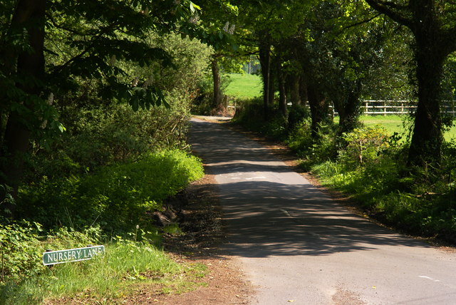
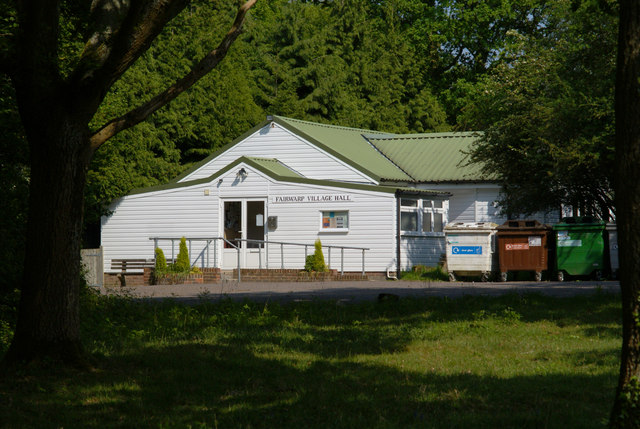
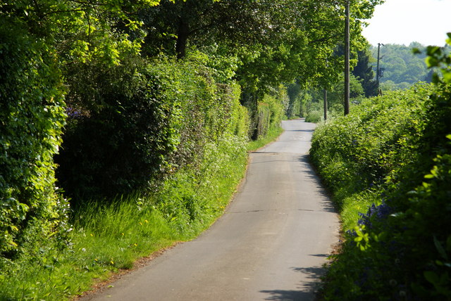
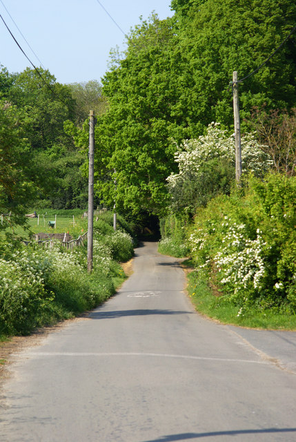
Stonehouse Wood Images
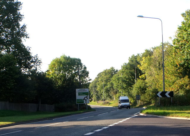
Images are sourced within 2km of 51.010234/0.11032632 or Grid Reference TQ4825. Thanks to Geograph Open Source API. All images are credited.


Stonehouse Wood is located at Grid Ref: TQ4825 (Lat: 51.010234, Lng: 0.11032632)
Administrative County: East Sussex
District: Wealden
Police Authority: Sussex
What 3 Words
///playful.something.cookie. Near Buxted, East Sussex
Nearby Locations
Related Wikis

Five Ash Down
Five Ash Down is a small village within the civil parish of Buxted, in the Wealden district of East Sussex, England. Its nearest town is Uckfield, which...

Buxted Park
Buxted Park is an 84.7 hectare (206.16 acre) biological Site of Special Scientific Interest, located near the village of Buxted, East Sussex, England....
Rock Wood
Rock Wood is a 10.4-hectare (26-acre) biological Site of Special Scientific Interest north of Uckfield in East Sussex.This ancient wood has several different...

Brickfield Meadow
Brickfield Meadow is a 1.4-hectare (3.5-acre) nature reserve north of Maresfield in East Sussex. It is managed by the Sussex Wildlife Trust.This wildflower...

Heron's Ghyll
Heron's Ghyll is a hamlet in the Wealden district of East Sussex. St John the Evangelist Church is a Catholic church in the village. There is a late 19th...

St John the Evangelist Church, Heron's Ghyll
St John's Church or St John the Evangelist Church is a Roman Catholic Parish Church in the Heron's Ghyll settlement of Buxted, East Sussex, England. It...
High Hurstwood
High Hurstwood is a village in the Wealden district of East Sussex. == External links == High Hurstwood village history Holy Trinity Church, High Hurstwood...

Fairwarp
Fairwarp is a small village within the civil parish of Maresfield in the Wealden district of East Sussex, England. Its nearest town is Uckfield, which...
Nearby Amenities
Located within 500m of 51.010234,0.11032632Have you been to Stonehouse Wood?
Leave your review of Stonehouse Wood below (or comments, questions and feedback).