Ash Grove
Wood, Forest in Hertfordshire East Hertfordshire
England
Ash Grove

Ash Grove is a small woodland area situated in Hertfordshire, England. Covering approximately 20 acres, it is known for its lush greenery and dense forest. The grove is located near the picturesque village of Ashwell, and is a popular destination for nature enthusiasts and hikers.
The woodland boasts a variety of tree species, including oak, beech, and birch, which create a diverse and vibrant ecosystem. The forest floor is covered with a thick carpet of ferns, moss, and wildflowers, adding to the area's natural beauty. Ash Grove is also home to a wide range of wildlife, including deer, foxes, and various bird species, making it a haven for animal lovers and birdwatchers.
Visitors can explore the grove through a network of well-marked trails, offering a serene and tranquil environment for walking and hiking. The trails vary in difficulty, catering to both casual strollers and more experienced hikers. Along the way, visitors can enjoy the peaceful ambiance, breathe in the fresh air, and listen to the soothing sounds of nature.
Ash Grove is managed by the local council, which ensures the preservation of the woodland and its biodiversity. The area is open to the public year-round, and there are no entrance fees or permits required. However, visitors are encouraged to follow the designated paths, respect the wildlife, and take their litter with them to maintain the pristine condition of the grove.
Overall, Ash Grove is a hidden gem in Hertfordshire, offering a serene escape from the hustle and bustle of everyday life. Whether it's for a leisurely walk, a picnic with family and friends, or simply to reconnect with nature, this woodland provides a tranquil retreat for all who visit.
If you have any feedback on the listing, please let us know in the comments section below.
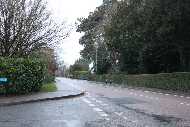
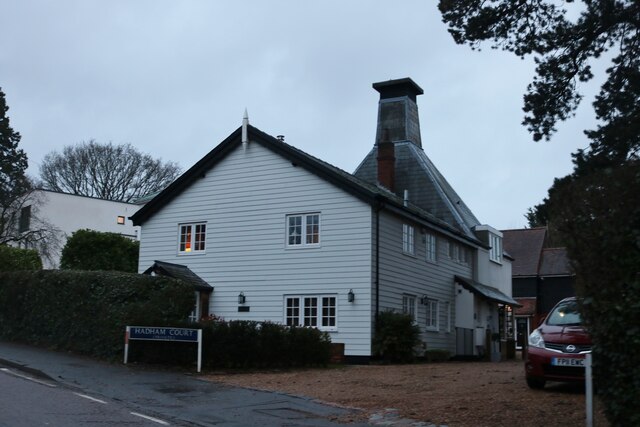
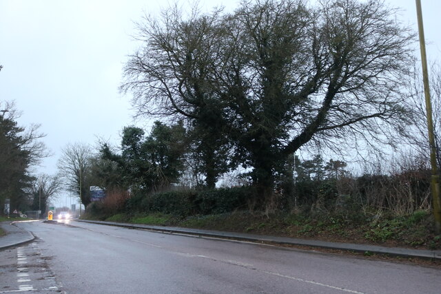
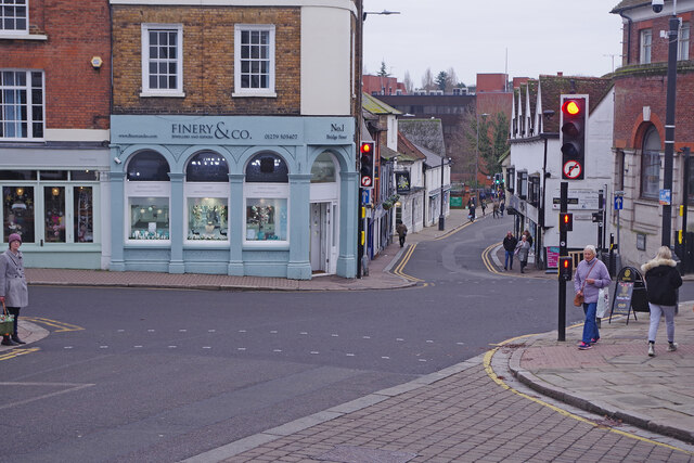
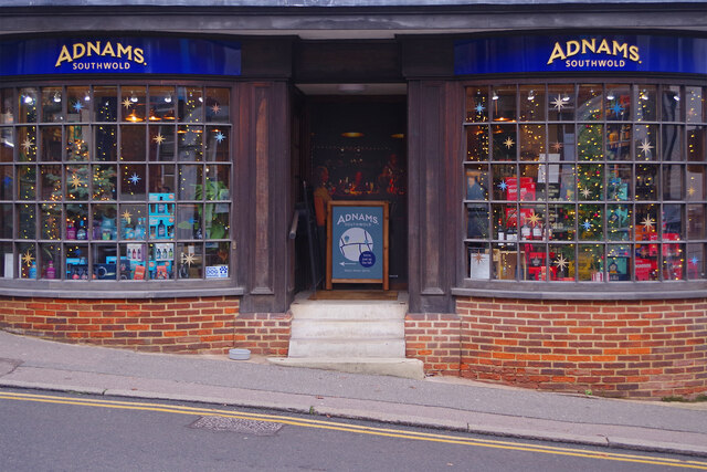
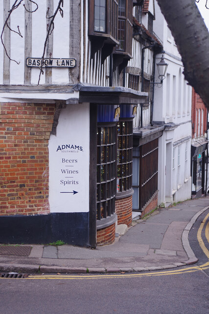
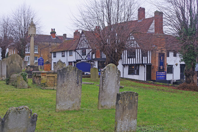
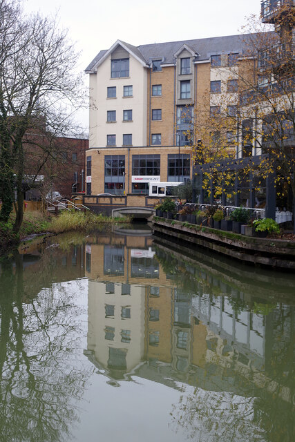
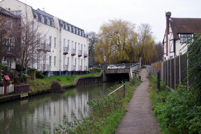
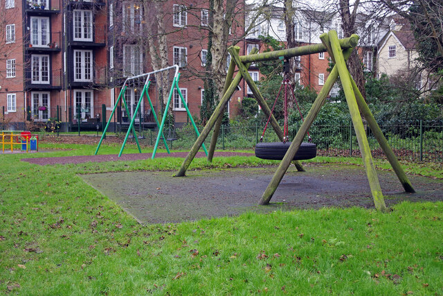
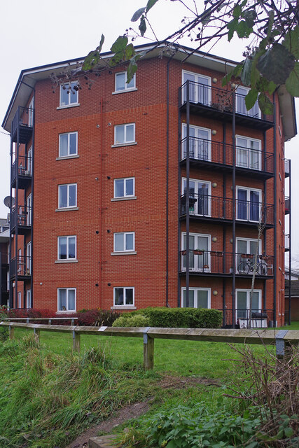
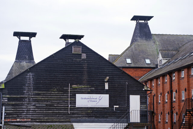
Ash Grove Images
Images are sourced within 2km of 51.878066/0.14913898 or Grid Reference TL4822. Thanks to Geograph Open Source API. All images are credited.


Ash Grove is located at Grid Ref: TL4822 (Lat: 51.878066, Lng: 0.14913898)
Administrative County: Hertfordshire
District: East Hertfordshire
Police Authority: Hertfordshire
What 3 Words
///parrot.fillings.sniff. Near Bishops Stortford, Hertfordshire
Nearby Locations
Related Wikis

Cricket Field Lane
Cricketfield Lane is a cricket ground in Bishop's Stortford, Hertfordshire. The earliest recorded match on the ground was in 1862 between Bishop's Stortford...
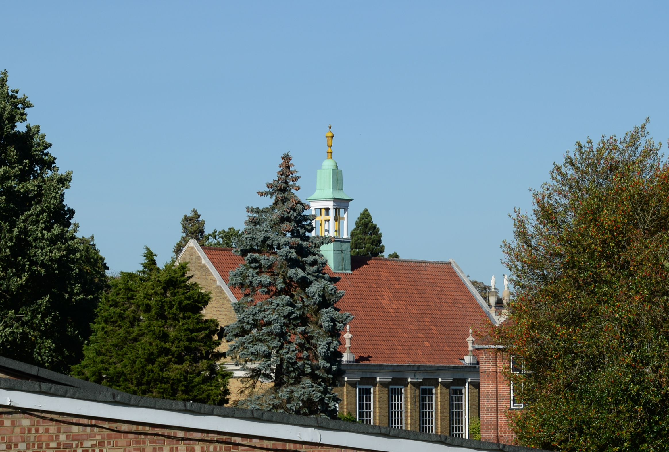
Bishop's Stortford College
Bishop's Stortford College is a private boarding and day school in the English public school tradition for more than 1,200 pupils aged 4–18, situated in...

Boar's Head Inn, Bishop's Stortford
The Boar's Head Inn is a Grade II* listed public house in Bishop's Stortford, Hertfordshire, England. The timber framed building was built in the late...

St Mary's Catholic School, Bishop's Stortford
St Mary's Catholic School is a Roman Catholic secondary school and sixth form located in Bishop's Stortford, Hertfordshire, England. == History == In 1896...

Corn Exchange, Bishop's Stortford
The Corn Exchange is a commercial building in the Market Square in Bishop's Stortford, Hertfordshire, England. The structure, which is currently used to...
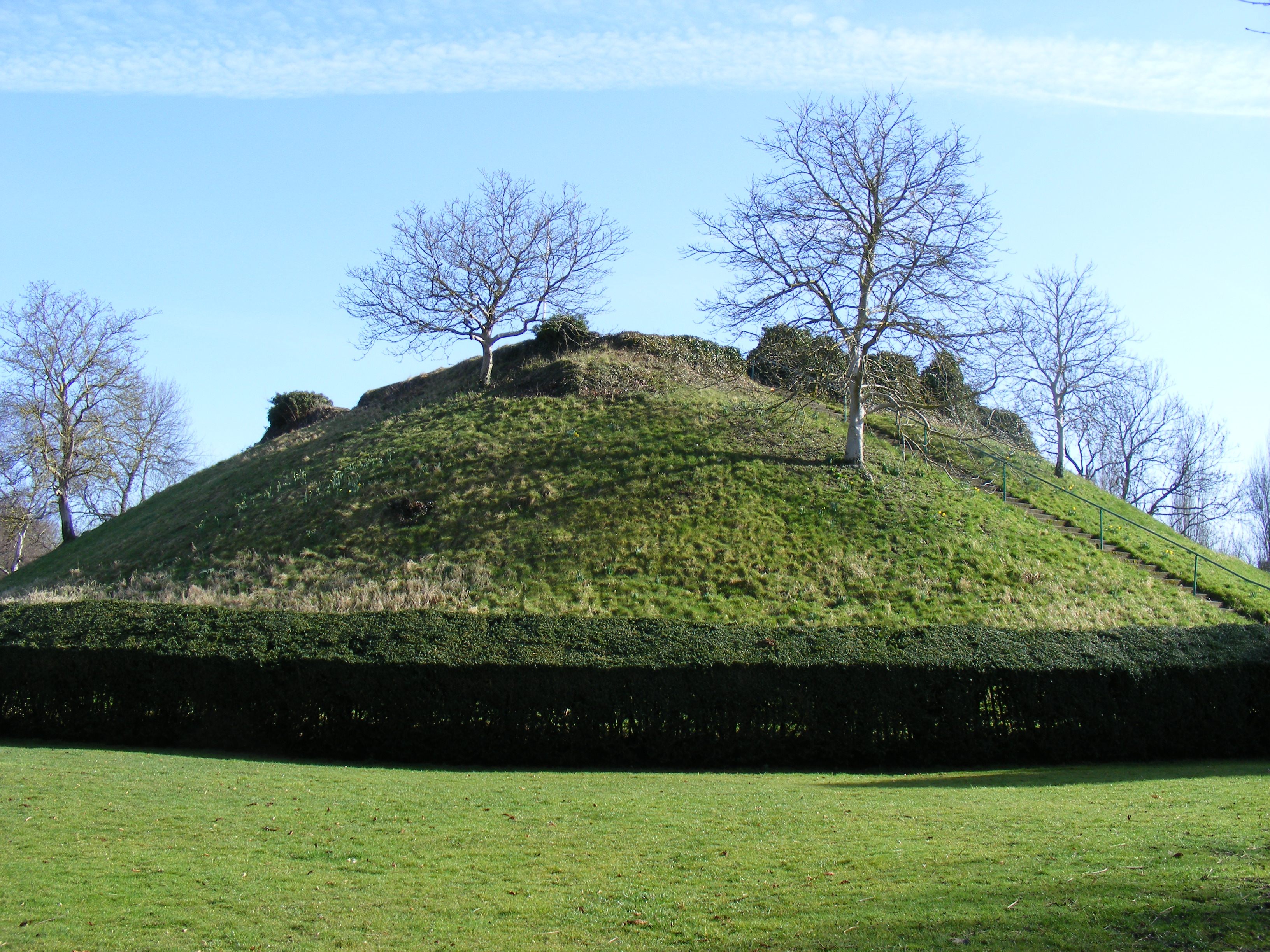
Waytemore Castle
Waytemore Castle is a ruined castle in the town of Bishop's Stortford in Hertfordshire, England. The remains are a Grade I listed structure.This began...

Bishop's Stortford railway station
Bishop's Stortford railway station is on the West Anglia Main Line serving the town of Bishop's Stortford in Hertfordshire, England. It is 30 miles 27...
Hockerill Anglo-European College
Hockerill Anglo-European College (formerly known as Hockerill School) is an international state boarding school with academy status located in Bishop's...
Nearby Amenities
Located within 500m of 51.878066,0.14913898Have you been to Ash Grove?
Leave your review of Ash Grove below (or comments, questions and feedback).