Park Plantation

Wood, Forest in Lincolnshire East Lindsey

England

Park Plantation

Cattle pens, Furze Hill, south of Markby: aerial 2023
Cattle pens, Furze Hill, south of Markby: aerial 2023 Credit: Chris

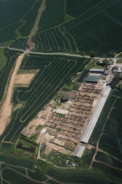
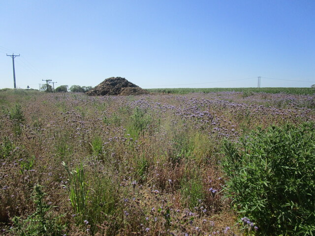
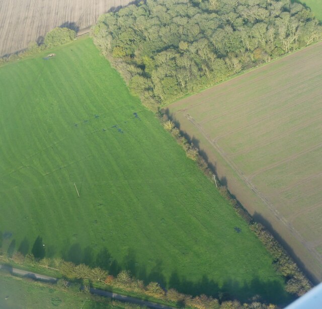
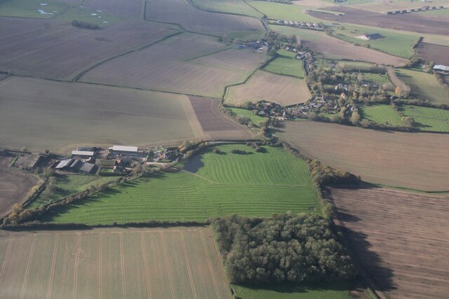
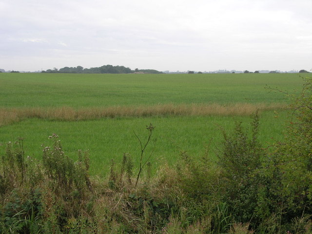
Park Plantation is a picturesque woodland located in Lincolnshire, a county in eastern England. Covering an area of approximately 500 acres, this plantation boasts a diverse array of trees and flora, creating a stunning natural landscape that attracts visitors from near and far.

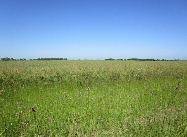
The primary feature of Park Plantation is its dense forest, characterized by a mixture of deciduous and coniferous trees. Towering oak, beech, and birch trees dominate the woodland, providing a rich habitat for a variety of wildlife. The forest floor is adorned with an abundance of ferns, bluebells, and wildflowers, adding to the enchanting atmosphere.

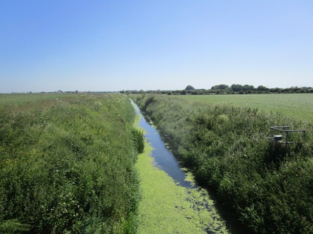
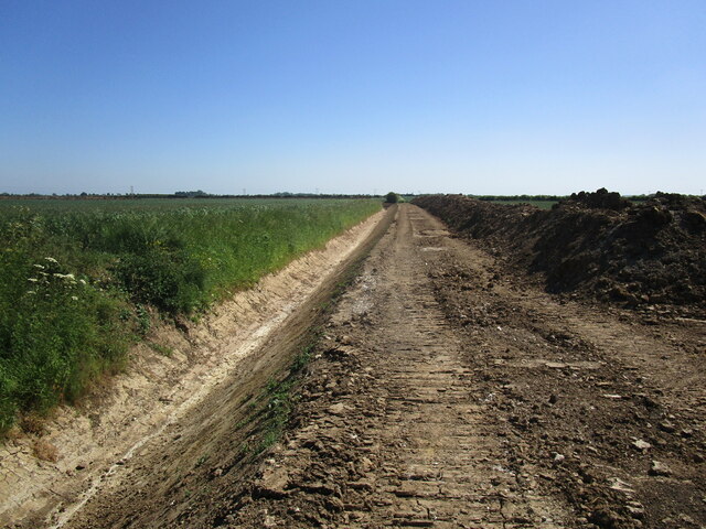
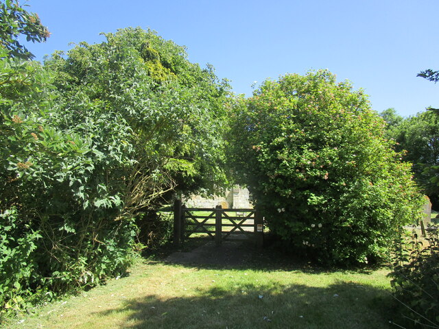
Walking trails meander through the plantation, allowing visitors to explore its beauty at their own pace. These pathways offer an opportunity to immerse oneself in nature, with the tranquil sounds of birdsong and rustling leaves providing a soothing soundtrack. The plantation is also home to a small lake, which enhances the scenic charm and attracts waterfowl and other aquatic creatures.

Park Plantation is a popular destination for outdoor enthusiasts, offering activities such as hiking, birdwatching, and photography. The diverse ecosystem supports a wide range of bird species, making it a haven for birdwatchers. With its vast expanse and secluded corners, the plantation provides a peaceful retreat, ideal for those seeking solace in nature.

Overall, Park Plantation in Lincolnshire is a captivating woodland that showcases the beauty of the English countryside. Its rich biodiversity, scenic trails, and serene ambiance make it a must-visit location for nature lovers and those looking to escape the hustle and bustle of everyday life.

If you have any feedback on the listing, please let us know in the comments section below.

Park Plantation Images

Images are sourced within 2km of 53.295132/0.21615394 or Grid Reference TF4779. Thanks to Geograph Open Source API. All images are credited.

Cattle pens, Furze Hill, south of Markby: aerial 2023
St Peter's church, Markby Historic England <span class="nowrap"><a title="https://historicengland.org.uk/listing/the-list/list-entry/1063009?section=official-list-entry" rel="nofollow ugc noopener" href="https://historicengland.org.uk/listing/the-list/list-entry/1063009?section=official-list-entry">Link</a><img style="margin-left:2px;" alt="External link" title="External link - shift click to open in new window" src="https://s1.geograph.org.uk/img/external.png" width="10" height="10"/></span> suggests this was built in the mid sixteenth century, others suggest early in the seventeenth century. Either way much of the masonry certainly comes from the demolished Markby Priory.
A jackdaw seems to have taken advantage of the ledge provided by the window in the roof for some nest building.
St Peter's church, Markby
Historic England LinkExternal link suggests this was built in the mid sixteenth century, others suggest early in the seventeenth century. Either way much of the masonry certainly comes from the demolished Markby Priory. A jackdaw seems to have taken advantage of the ledge provided by the window in the roof for some nest building.
Field of oilseed rape near Markby
Wold Grift Drain Drains a large area between Alford and the sea.
Wold Grift Drain
Drains a large area between Alford and the sea.
Phacelia near Saleby Usually grown as a cover crop/green manure.
Phacelia near Saleby
Usually grown as a cover crop/green manure.
Newly cleared drain off Mill Lane, Saleby
Churchyard entrance, Markby
Farm buildings at Markby
Ridge and furrow near Beesby in the Marsh: aerial 2023
Ridge and furrow, Beesby in the Marsh: aerial 2023
St.Andrew's church, Beesby, Lincs. A curious marriage of vibrant red brick and stone. The chancel looks 13th century but much restored, but the 1841 rebuilding of the nave uses brick on the south side and stone on the north.
St.Andrew's church, Beesby, Lincs.
A curious marriage of vibrant red brick and stone. The chancel looks 13th century but much restored, but the 1841 rebuilding of the nave uses brick on the south side and stone on the north.
Drain and Windmills The windmills in the distance produce electricity and not flour.  The drain keeps the fields fertile.
Drain and Windmills
The windmills in the distance produce electricity and not flour. The drain keeps the fields fertile.
Mill Hill If the grass on Mill Hill is mown it will half the height of the hill.
Mill Hill
If the grass on Mill Hill is mown it will half the height of the hill.
St.Andrew's church A remarkable transformation from neglected church <a title="https://www.geograph.org.uk/photo/108099" href="https://www.geograph.org.uk/photo/108099">Link</a> to community building
St.Andrew's church is now a parish room as well as a place of worship and has an optimistic future
St.Andrew's church
A remarkable transformation from neglected church Link to community building St.Andrew's church is now a parish room as well as a place of worship and has an optimistic future
St.Andrew's nave The nave is now multi-purpose space for the parishioners of Beesby, the pews are to be replaced by chairs soon. The chancel arch is 13th century.
St.Andrew's nave
The nave is now multi-purpose space for the parishioners of Beesby, the pews are to be replaced by chairs soon. The chancel arch is 13th century.
St.Andrew's chancel Recently stripped of plaster to reveal much-restored 13th century masonry
St.Andrew's chancel
Recently stripped of plaster to reveal much-restored 13th century masonry
750 year-old grin Large 13th century corbel head on St.Andrew's chancel arch <a title="https://www.geograph.org.uk/photo/771085" href="https://www.geograph.org.uk/photo/771085">Link</a> grinning at parishioners for around 750 years
750 year-old grin
Large 13th century corbel head on St.Andrew's chancel arch Link grinning at parishioners for around 750 years
Toothache 13th century corbel head on St.Andrew's chancel arch <a title="https://www.geograph.org.uk/photo/771085" href="https://www.geograph.org.uk/photo/771085">Link</a> suffering with toothache for around 750 years whilst his friend opposite grins unsympathetically <a title="https://www.geograph.org.uk/photo/771095" href="https://www.geograph.org.uk/photo/771095">Link</a>
Toothache
13th century corbel head on St.Andrew's chancel arch Link suffering with toothache for around 750 years whilst his friend opposite grins unsympathetically Link
Show me another place!

Park Plantation is located at Grid Ref: TF4779 (Lat: 53.295132, Lng: 0.21615394)

Administrative County: Lincolnshire

District: East Lindsey

Police Authority: Lincolnshire

What 3 Words

///shams.passports.cover. Near Alford, Lincolnshire

Nearby Locations

Park Plantation

Related Wikis

Hagnaby Abbey

Hagnaby Abbey was an abbey and former priory in Hagnaby, Lincolnshire, England. It was one of nine Premonstratensian houses within the historical county...

Markby

Markby is a village and civil parish in the East Lindsey district of Lincolnshire, England. It is situated approximately 4 miles (6 km) north-east from...

Markby Priory

Markby Priory was a priory in the village of Markby, Lincolnshire, England. It is believed the Augustinian Priory was founded during the reign of Henry...

Alford and Sutton Tramway

The Alford and Sutton Tramway was a steam 2 ft 6 in (762 mm) narrow gauge street tramway between the seaside town of Sutton-on-Sea and the nearby Great...

Beesby with Saleby

Beesby with Saleby is a civil parish in the East Lindsey district of Lincolnshire, England. It includes Beesby and Saleby. According to the 2001 Census...

Maltby le Marsh

Maltby le Marsh is a village and civil parish in the East Lindsey district of Lincolnshire, England. The village is situated between Alford and Mablethorpe...

Saleby

Saleby is a village in the civil parish of Beesby with Saleby, in the East Lindsey district of Lincolnshire, England. It is on the Alford road to Louth...

Hannah cum Hagnaby

Hannah cum Hagnaby is a civil parish in the East Lindsey district of Lincolnshire, England. It is situated approximately 4 miles (6 km) north-east from...

Nearby Amenities

Located within 500m of 53.295132,0.21615394
Power: pole
Lat/Long: 53.2988431/0.2176182
Power: pole
Lat/Long: 53.2931441/0.210847
Power: pole
Lat/Long: 53.2945521/0.2125225
Power: pole
Lat/Long: 53.2959716/0.2142092
Power: pole
Lat/Long: 53.2973924/0.2158975
Hagnaby Abbey Farm
Place: farm
Source: Bing
Lat/Long: 53.2960923/0.219341
Washdyke Bridge
Place: farm
Source: Bing
Lat/Long: 53.2914127/0.2135766
Washdyke Farm
Place: farm
Source: Bing
Lat/Long: 53.2919779/0.213222
The data included in this document is from www.openstreetmap.org. The data is made available under ODbL.

Have you been to Park Plantation?

Leave your review of Park Plantation below (or comments, questions and feedback).