Fallinge
Settlement in Derbyshire Derbyshire Dales
England
Fallinge
Fallinge is a small village located in the county of Derbyshire, in the East Midlands region of England. Situated within the Amber Valley district, the village is nestled amidst the picturesque countryside, renowned for its rolling hills, green pastures, and scenic beauty. The village is positioned approximately 8 miles northeast of the city of Derby, making it easily accessible for commuters.
Fallinge is characterized by its quaint and traditional atmosphere, with a population of around 500 residents. The village is known for its charming stone-built houses and historic buildings, which contribute to its overall appeal. The local community is tight-knit, with a strong sense of camaraderie and a friendly atmosphere.
The village offers a range of amenities and services to cater to the needs of its residents. This includes a primary school, a village hall, a local pub, and a few small shops. The surrounding countryside provides ample opportunities for outdoor activities such as walking, hiking, and cycling.
Fallinge is also well-connected to nearby towns and cities, with regular bus services and good road links. This allows residents to easily access a wider range of facilities and services in the surrounding areas.
Overall, Fallinge offers a tranquil and idyllic setting for those seeking a peaceful lifestyle, while still providing convenient access to nearby urban centers. The village's natural beauty and close-knit community make it an attractive place to reside in Derbyshire.
If you have any feedback on the listing, please let us know in the comments section below.
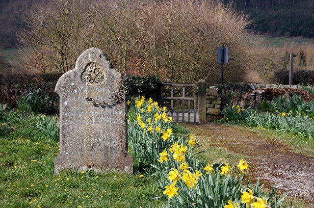
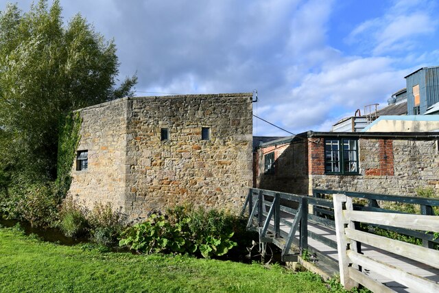
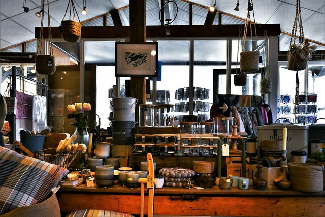
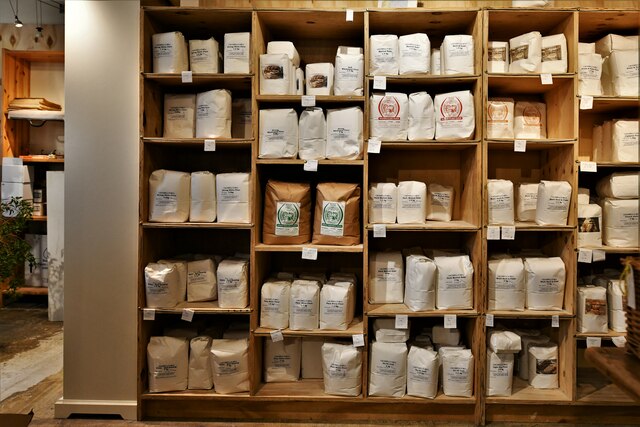
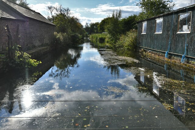
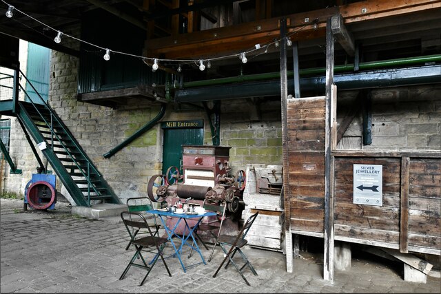
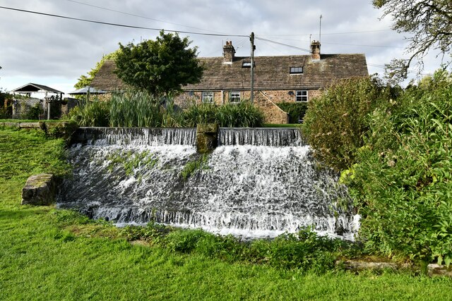
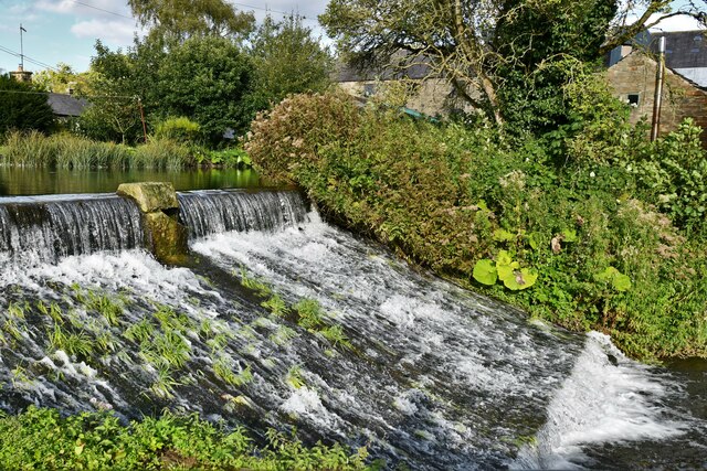
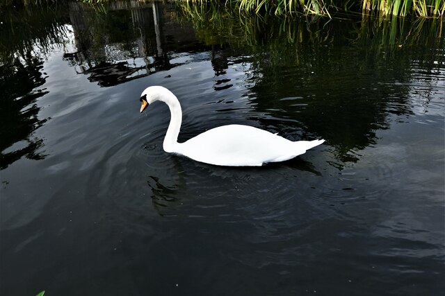
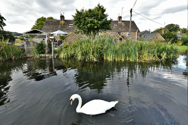
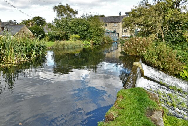
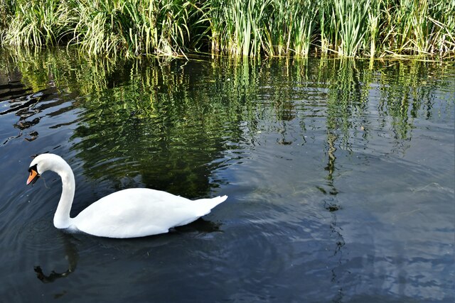
Fallinge Images
Images are sourced within 2km of 53.190458/-1.6123311 or Grid Reference SK2666. Thanks to Geograph Open Source API. All images are credited.


Fallinge is located at Grid Ref: SK2666 (Lat: 53.190458, Lng: -1.6123311)
Administrative County: Derbyshire
District: Derbyshire Dales
Police Authority: Derbyshire
What 3 Words
///shirt.giving.aunts. Near Bakewell, Derbyshire
Nearby Locations
Related Wikis
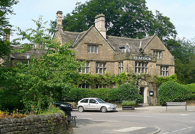
Rowsley
Rowsley () is a village on the A6 road in the English county of Derbyshire. The population as at the 2011 census was 507.It is at the point where the River...
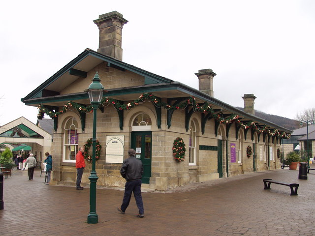
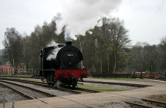
Rowsley railway station
The original Rowsley railway station was opened in 1849 by the Manchester, Buxton, Matlock and Midlands Junction Railway to serve the village of Rowsley...
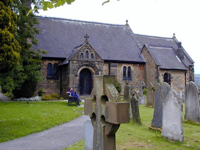
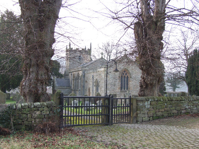
St Katherine's Church, Rowsley
St Katherine's Church, Rowsley is a Grade II listed parish church in the Church of England: 312 in Rowsley, Derbyshire. == History == The foundation stone...
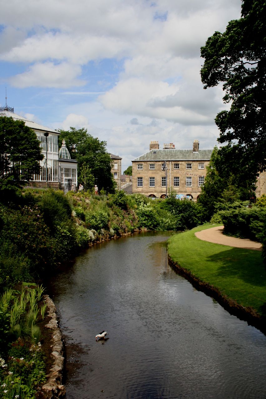
River Wye, Derbyshire
The River Wye is a limestone river in the Peak District of Derbyshire, England. It is 22 miles long (widely but incorrectly attributed as 15 miles/24...

Derbyshire
Derbyshire ( DAR-bee-sheer, -shər) is a ceremonial county in the East Midlands of England. It borders Greater Manchester, West Yorkshire, and South Yorkshire...
Northwood and Tinkersley
Northwood and Tinkersley is a civil parish within the Derbyshire Dales district, in the county of Derbyshire, England. Named for its main settlements,...
Beeley
Beeley is a village and civil parish in northern Derbyshire, England. Located near Bakewell in the Derbyshire Dales, it is situated on the B6012 road,...

Parkside railway station (Derbyshire)
Parkside railway station was the only station on the Derbyshire Dales Narrow Gauge Railway. Derbyshire Dales Narrow Gauge Railway was a short narrow-gauge...
Nearby Amenities
Located within 500m of 53.190458,-1.6123311Have you been to Fallinge?
Leave your review of Fallinge below (or comments, questions and feedback).