No Man's Grove

Wood, Forest in Essex Uttlesford

England

No Man's Grove

Arkesden church
Arkesden church Credit: mym

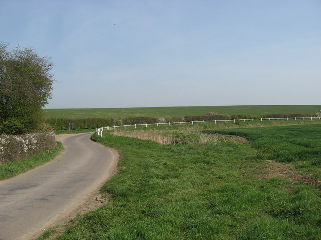
No Man's Grove, located in Essex, England, is a picturesque woodland area known for its serene beauty and rich biodiversity. Spanning over an expansive area, the grove is a popular destination for nature enthusiasts and hikers alike.

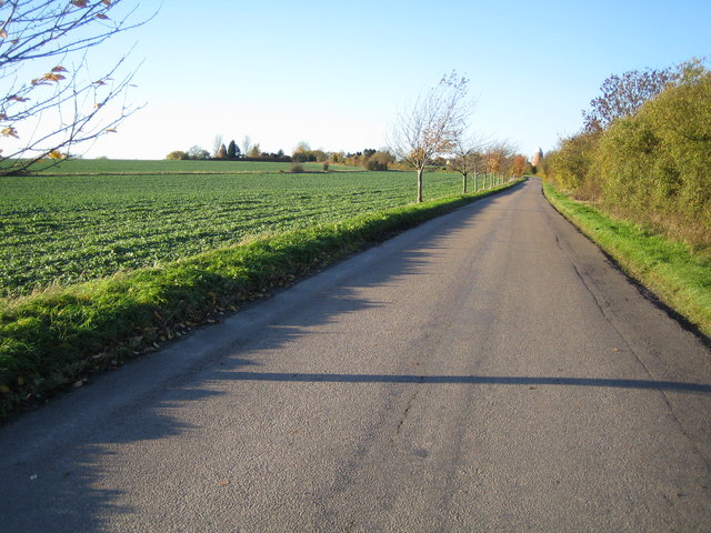
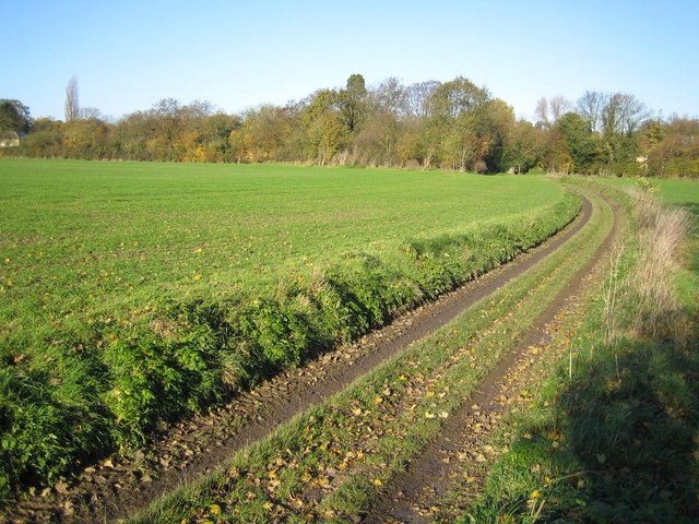
The woodland is characterized by its dense canopy of towering oak, beech, and birch trees that provide a cool and shaded environment, particularly in the hot summer months. These trees, some of which are centuries old, create a peaceful and tranquil atmosphere, making No Man's Grove a perfect escape from the hustle and bustle of urban life.

Within the grove, one can find a variety of wildlife, including deer, foxes, rabbits, and a plethora of bird species. The abundance of flora and fauna in the area makes it an ideal spot for nature lovers and photographers, who can capture the beauty of the woodland and its inhabitants.

Trails and footpaths crisscross the grove, allowing visitors to explore its hidden corners and discover its secrets. The pathways lead to charming ponds and streams, adding to the enchanting ambiance of the woodland. These water features also provide a habitat for aquatic plants and animals, further enhancing the ecological value of No Man's Grove.

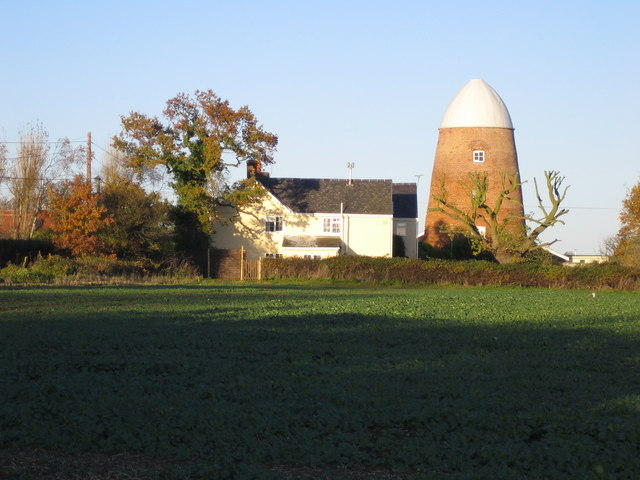
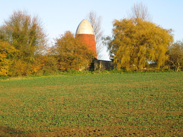
No Man's Grove is not only a natural gem but also a historically significant site. It is believed to have been a sacred place for ancient civilizations, and remnants of their presence can still be found in the form of ancient burial mounds and stone structures.

Whether one seeks solace in nature, adventure on the hiking trails, or a glimpse into the past, No Man's Grove offers a truly immersive experience for all who visit.

If you have any feedback on the listing, please let us know in the comments section below.

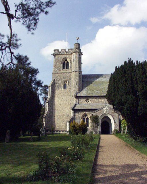
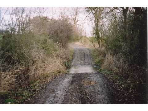
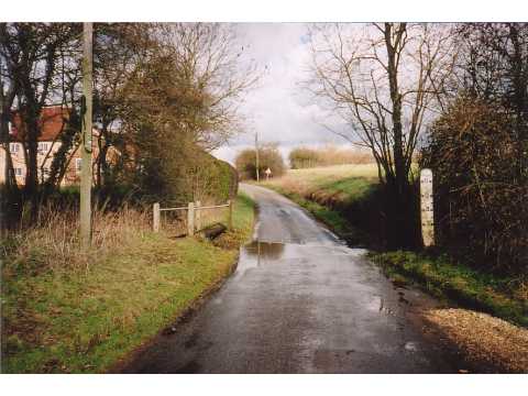
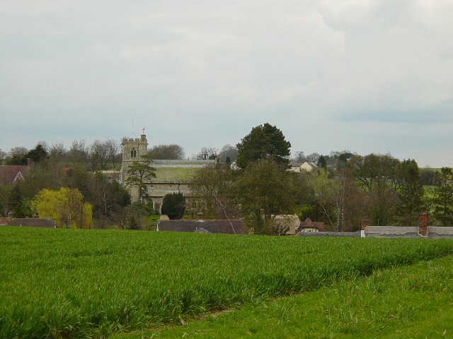
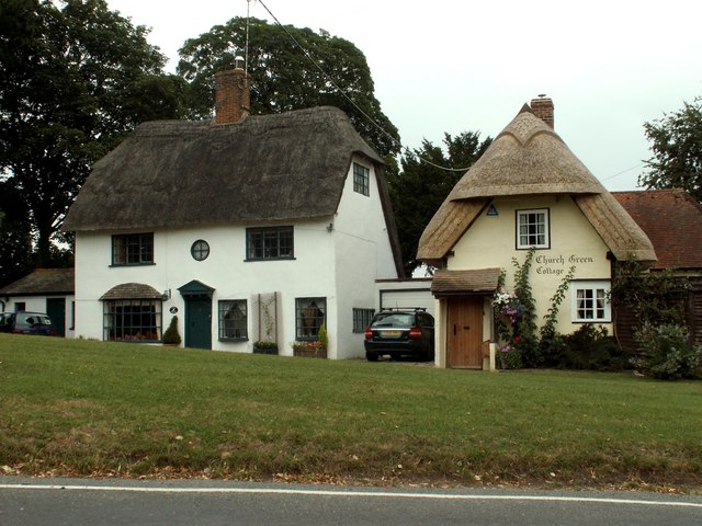
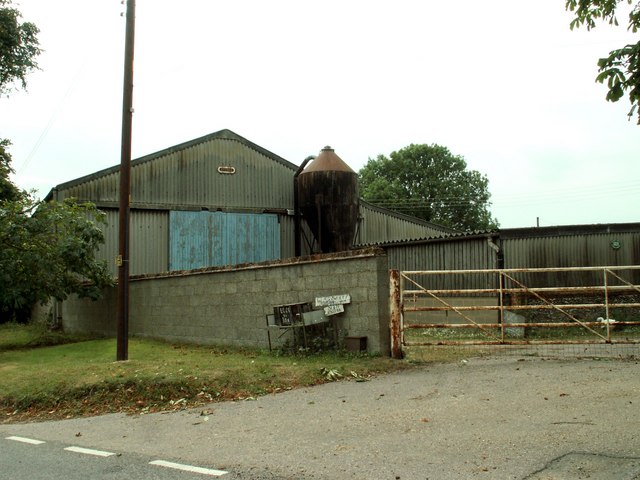
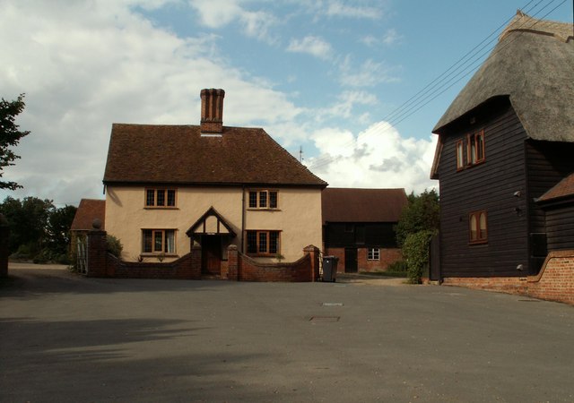
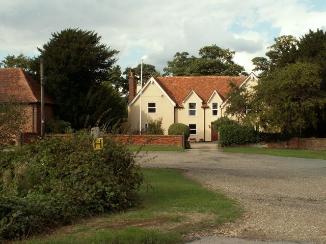
No Man's Grove Images

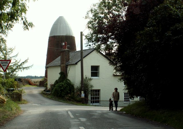
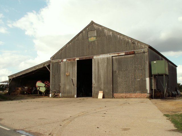
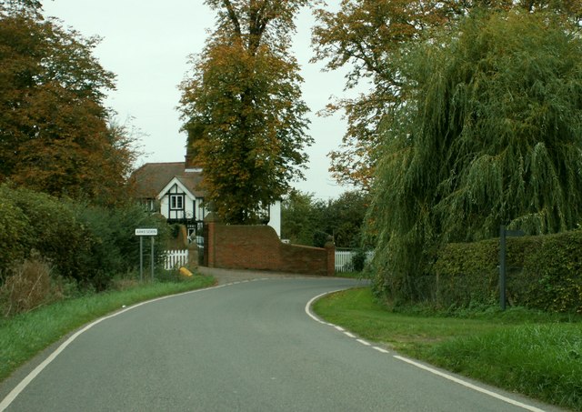
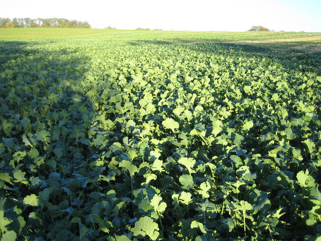
Images are sourced within 2km of 51.986681/0.13647991 or Grid Reference TL4634. Thanks to Geograph Open Source API. All images are credited.

Arkesden church
Arkesden church
Ford near Cooper's End On a Roman Road, now a byway.
Ford near Cooper's End
On a Roman Road, now a byway.
Ford near Arkesden On the road between Arkesden and Duddenhoe End, only occasionally wet.
Ford near Arkesden
On the road between Arkesden and Duddenhoe End, only occasionally wet.
Arkesden Church Looking towards Arkesden.
Arkesden Church
Looking towards Arkesden.
Cottages at Arkesden, Essex Arkesden is a very pretty village and has many lovely thatched cottages such as these two that stand by the small green, immediately south of the church.
Cottages at Arkesden, Essex
Arkesden is a very pretty village and has many lovely thatched cottages such as these two that stand by the small green, immediately south of the church.
'The Axe & Compasses' inn, Arkesden, Essex
Hobs Aerie farm buildings, Arkesden, Essex
Clavering Court, Stickling Green, Clavering, Essex
Clavering Place Farm, Stickling Green, Clavering, Essex
Clavering Mill, Clavering, Essex A short distance north of this windmill without sails is another without sails. Both have been restored for living accommodation.
Clavering Mill, Clavering, Essex
A short distance north of this windmill without sails is another without sails. Both have been restored for living accommodation.
Barn at Brocking Farm, Roast Green, Essex Roast Green is just north-west of Clavering.
Barn at Brocking Farm, Roast Green, Essex
Roast Green is just north-west of Clavering.
The lodge at Wood Hall, near Arkesden, Essex The road is Clatterbury Lane.
The lodge at Wood Hall, near Arkesden, Essex
The road is Clatterbury Lane.
Stickling Green ..and these are the greens that are grown there, wall to wall brassicas.
Stickling Green
..and these are the greens that are grown there, wall to wall brassicas.
Clavering: Disused windmills This grid square, to the north-west of Clavering, is blessed with two former windmills. The North mill is in sight directly at the end of the road, whilst the similar South mill is visible to the left, and immediately to the left of the prominent conifer tree on the horizon. Close-up views of the two are in <a href="https://www.geograph.org.uk/photo/281333">TL4632 : Clavering: North windmill</a> and <a href="https://www.geograph.org.uk/photo/281340">TL4632 : Clavering: South windmill</a>
Clavering: Disused windmills
This grid square, to the north-west of Clavering, is blessed with two former windmills. The North mill is in sight directly at the end of the road, whilst the similar South mill is visible to the left, and immediately to the left of the prominent conifer tree on the horizon. Close-up views of the two are in TL4632 : Clavering: North windmill and TL4632 : Clavering: South windmill
Clavering: North windmill This is the larger of the two Clavering windmills and was built in 1811 for milling corn. The relative locations of the two mills can be seen in <a href="https://www.geograph.org.uk/photo/281323">TL4632 : Clavering: Disused windmills</a>. It is now a private residence.
Clavering: North windmill
This is the larger of the two Clavering windmills and was built in 1811 for milling corn. The relative locations of the two mills can be seen in TL4632 : Clavering: Disused windmills. It is now a private residence.
Clavering: South windmill This is the smaller of the two Clavering windmills and was built in 1757 for milling corn. The relative locations of the two mills can be seen in <a href="https://www.geograph.org.uk/photo/281323">TL4632 : Clavering: Disused windmills</a>. It is now a private residence.
Clavering: South windmill
This is the smaller of the two Clavering windmills and was built in 1757 for milling corn. The relative locations of the two mills can be seen in TL4632 : Clavering: Disused windmills. It is now a private residence.
Stickling Green: Colehill Lane Colehill Lane, which runs between Clavering and Stickling Green, is a Public Byway or BOAT (Byway Open to All Traffic).
Stickling Green: Colehill Lane
Colehill Lane, which runs between Clavering and Stickling Green, is a Public Byway or BOAT (Byway Open to All Traffic).
Ostler's Green Country lane at Ostler's Green
Ostler's Green
Country lane at Ostler's Green
Show me another place!

No Man's Grove is located at Grid Ref: TL4634 (Lat: 51.986681, Lng: 0.13647991)

Administrative County: Essex

District: Uttlesford

Police Authority: Essex

What 3 Words

///variation.arrow.atomic. Near Saffron Walden, Essex

Nearby Locations

Scotch Wood No Man's Grove

Related Wikis

Arkesden

Arkesden is a village and civil parish in the Uttlesford district of Essex, England. The village is 4.3 miles (7 km) south-west from Saffron Walden, approximately...

Clavering Castle

Clavering Castle remains are situated in the small parish village of Clavering in the county of Essex, England, 50m north of the church of St Mary and...

Langley, Essex

For the historic house in Essex called Langley's, see Great Waltham. Langley is a village and civil parish near Clavering in the English county of Essex...

Wicken Bonhunt

Wicken Bonhunt is a village and a civil parish of north-west Essex, in the non-metropolitan district of Uttlesford, England. It is on the B1038 (Buntingford...
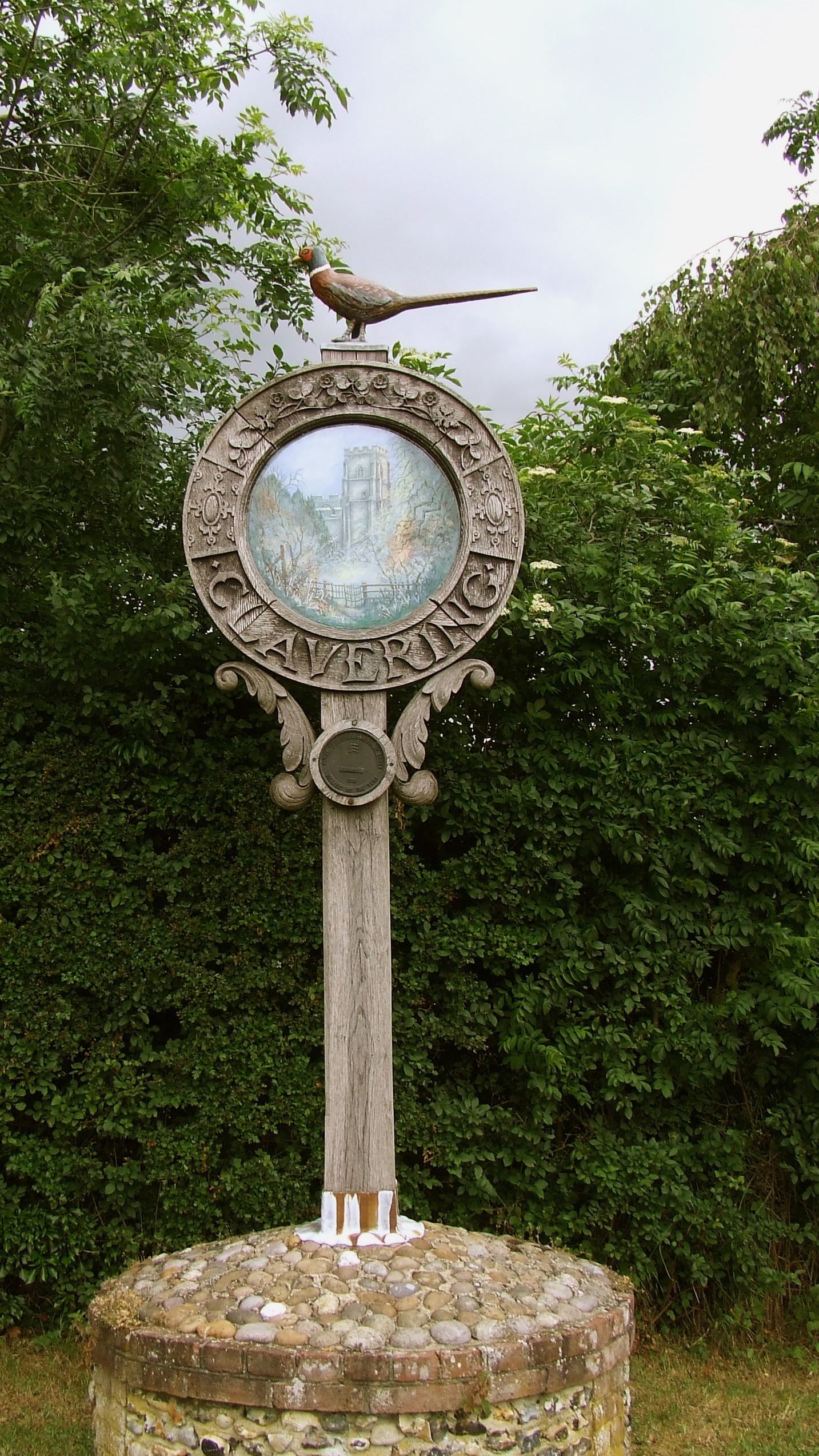
Clavering, Essex

Clavering is a village and also a parish in north-west Essex in England. It is about 20 miles (32 km) from Cambridge and 50 miles (80 km) from Southend...

Duddenhoe End

Duddenhoe End is a small village in the civil parish of Elmdon & Wenden Lofts, in northwest Essex, England, and situated approximately halfway between...

Meesden

Meesden is a village and civil parish of the East Hertfordshire district of Hertfordshire, England. Nearby settlements include Anstey and Brent Pelham...

Wenden Lofts

Wenden Lofts is a small community in the civil parish of Elmdon, Duddenhoe End & Wenden Lofts in the Uttlesford district, in the county of Essex, England...

Nearby Amenities

Located within 500m of 51.986681,0.13647991
Power: pole
Lat/Long: 51.9904599/0.1375811
Power: pole
Lat/Long: 51.9908975/0.1367121
Power: pole
Lat/Long: 51.9896142/0.1392414
Power: pole
Lat/Long: 51.9900288/0.1384207
Clodmore Hill
Ele: 123
Natural: peak
Lat/Long: 51.990101/0.134175
Restaurant
Clavering Lakes
Outdoor Seating: yes
Lat/Long: 51.9843647/0.1326391
The data included in this document is from www.openstreetmap.org. The data is made available under ODbL.

Have you been to No Man's Grove?

Leave your review of No Man's Grove below (or comments, questions and feedback).