Ley Wood

Wood, Forest in Essex Uttlesford

England

Ley Wood

Barn, Broome Cottage Grade II listed.
Barn, Broome Cottage Credit: N Chadwick

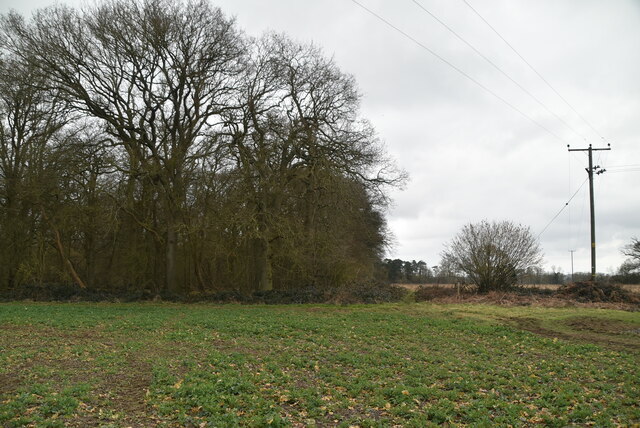
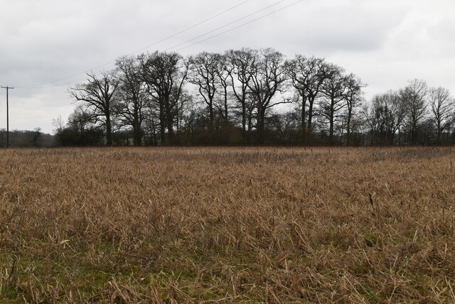
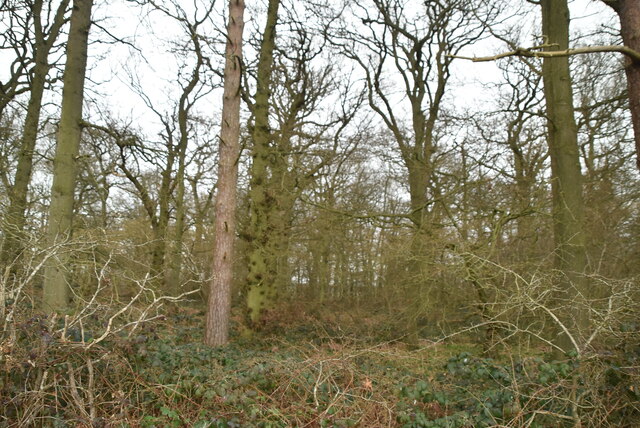
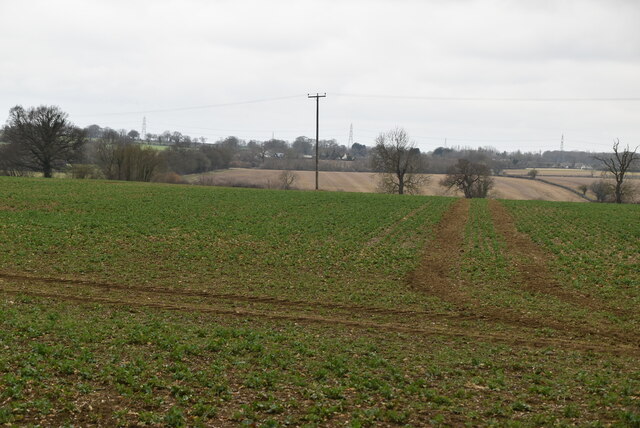
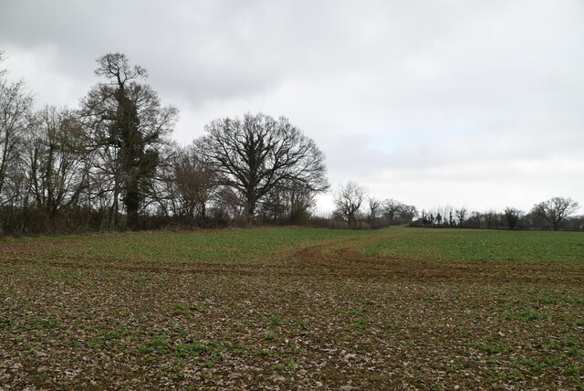
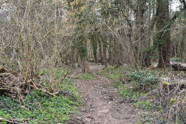
Ley Wood is a picturesque forest located in Essex, England. Covering an area of approximately 100 hectares, it forms part of the larger Epping Forest complex. The wood is a popular destination for nature lovers and outdoor enthusiasts due to its diverse range of flora and fauna.

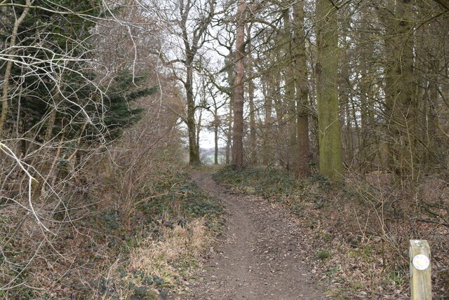
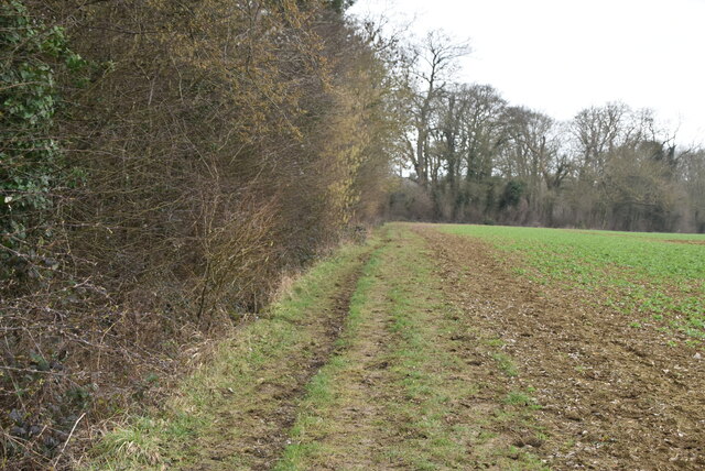
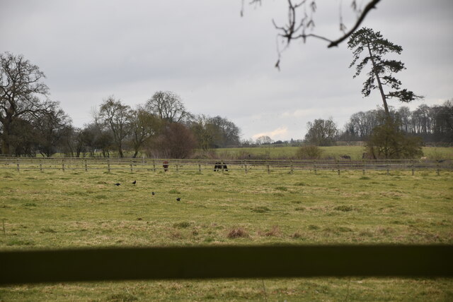
The woodland consists primarily of oak and beech trees, creating a dense and enchanting canopy. Walking through the wood, visitors can expect to encounter a variety of wildlife, including deer, foxes, and a plethora of bird species. The tranquil atmosphere and serene surroundings make Ley Wood a great place for birdwatching and wildlife photography.

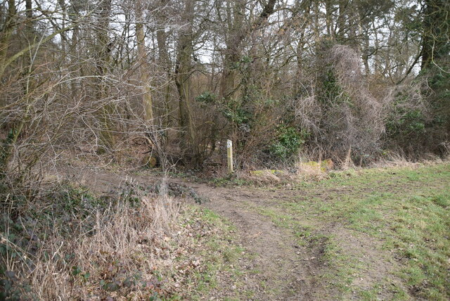
There are several well-marked paths and trails that wind through the wood, offering visitors the opportunity to explore and discover the natural beauty at their own pace. Additionally, the wood is home to a network of ancient earthworks and ditches, indicating human presence dating back to the Iron Age.

Ley Wood is managed by the City of London Corporation, which strives to preserve its natural heritage and protect its ecological importance. The wood is also part of a Site of Special Scientific Interest (SSSI) due to its ancient woodland characteristics and the presence of rare plant species.

Overall, Ley Wood is a captivating destination for those seeking solace in nature. Its ancient trees, diverse wildlife, and historic features make it a truly remarkable place to visit and appreciate the wonders of the natural world.

If you have any feedback on the listing, please let us know in the comments section below.
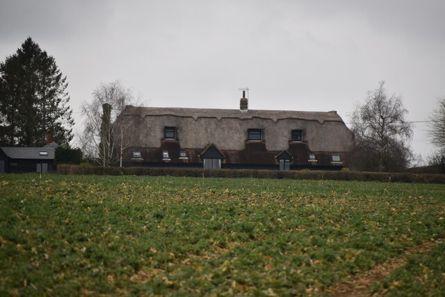
Ley Wood Images

Images are sourced within 2km of 51.917732/0.13279746 or Grid Reference TL4626. Thanks to Geograph Open Source API. All images are credited.

Barn, Broome Cottage Grade II listed.
Barn, Broome Cottage
Grade II listed.
Barn, Broome Cottage Listed buildings and structures are officially designated as being of special architectural, historical or cultural significance. There are over half a million listed structures in the United Kingdom, covered by around 375,000 listings.
Listed status is more commonly associated with buildings or groups of buildings, however it can cover many other structures, including bridges, headstones, steps, ponds, monuments, walls, phone boxes, wrecks, parks, and heritage sites, and in more recent times a road crossing (Abbey Road) and graffiti art (Banksy 'Spy-booth') have been included.

In England and Wales there are three main listing designations;
Grade I (2.5%) - exceptional interest, sometimes considered to be internationally important.
Grade II* (5.5%) - particularly important buildings of more than special interest. 
Grade II (92%) - nationally important and of special interest. 

There are also locally listed structures (at the discretion of local authorities) using A, B and C designations.

In Scotland three classifications are also used but the criteria are different. There are around 47,500 Listed buildings.
Category A (8%)- generally equivalent to Grade I and II* in England and Wales
Category B (51%)- this appears generally to cover the ground of Grade II, recognising national importance.
Category C (41%)- buildings of local importance, probably with some overlap with English Grade II.

In Northern Ireland the criteria are similar to Scotland, but the classifications are:
Grade A (2.3%)
Grade B+ (4.7%)
Grade B (93%)

Read more at Wikipedia <span class="nowrap"><a title="http://en.wikipedia.org/wiki/Listed_building" rel="nofollow ugc noopener" href="http://en.wikipedia.org/wiki/Listed_building">Link</a><img style="margin-left:2px;" alt="External link" title="External link - shift click to open in new window" src="https://s1.geograph.org.uk/img/external.png" width="10" height="10"/></span>
Barn, Broome Cottage
Listed buildings and structures are officially designated as being of special architectural, historical or cultural significance. There are over half a million listed structures in the United Kingdom, covered by around 375,000 listings. Listed status is more commonly associated with buildings or groups of buildings, however it can cover many other structures, including bridges, headstones, steps, ponds, monuments, walls, phone boxes, wrecks, parks, and heritage sites, and in more recent times a road crossing (Abbey Road) and graffiti art (Banksy 'Spy-booth') have been included. In England and Wales there are three main listing designations; Grade I (2.5%) - exceptional interest, sometimes considered to be internationally important. Grade II* (5.5%) - particularly important buildings of more than special interest. Grade II (92%) - nationally important and of special interest. There are also locally listed structures (at the discretion of local authorities) using A, B and C designations. In Scotland three classifications are also used but the criteria are different. There are around 47,500 Listed buildings. Category A (8%)- generally equivalent to Grade I and II* in England and Wales Category B (51%)- this appears generally to cover the ground of Grade II, recognising national importance. Category C (41%)- buildings of local importance, probably with some overlap with English Grade II. In Northern Ireland the criteria are similar to Scotland, but the classifications are: Grade A (2.3%) Grade B+ (4.7%) Grade B (93%) Read more at Wikipedia LinkExternal link
Small woodland
Small woodland
Oozes Wood
Oozes Wood
Arable land
Arable land
Footpath by Oozes Wood
Oozes Wood
Oozes Wood
Farmland and woodland
Essex farmland
Essex farmland
Footpath junction
Footpath junction
Footpath between Oozes Wood and Home Wood
Footpath by Home Wood
Home Wood
Home Wood
Field edge footpath
Field edge footpath
Arable land
Arable land
Woodland footpath
Woodland footpath
Essex pasture
Essex pasture
Show me another place!

Ley Wood is located at Grid Ref: TL4626 (Lat: 51.917732, Lng: 0.13279746)

Administrative County: Essex

District: Uttlesford

Police Authority: Essex

What 3 Words

///daring.candidate.libraries. Near Stansted Mountfitchet, Essex

Nearby Locations

Uppend Ley Wood

Related Wikis

Farnham, Essex

Farnham is a small village in Essex, England, situated near Bishop's Stortford. The main features are Farnham Church of England Primary School, the church...

Manuden

Manuden is a village and civil parish in the Uttlesford district of Essex, England. It is located around 3+1⁄2 miles (6 km) north of Bishop's Stortford...

Hillcollins Pit

Hillcollins Pit or Furneux Pelham Gravel Pit is a 0.2-hectare (0.49-acre) geological Site of Special Scientific Interest near Furneux Pelham in Hertfordshire...

Patmore Heath

Patmore Heath is a 7.6 hectares (19 acres) biological Site of Special Scientific Interest in East Hertfordshire, England, 2 kilometres north-east of Albury...

Bentfield Bury

Bentfield Bury is a small village in Essex, England. It is one of over 100 villages in the district of Uttlesford and is within Stansted Mountfitchet parish...
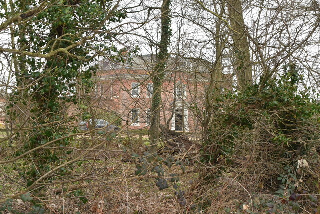
Berden Hall

Berden Hall is a Grade II* listed Elizabethan country house in Berden, in the Uttlesford District of Essex, England. The house was built in the 1580s....

Stocking Pelham

Stocking Pelham is a village and civil parish in the East Hertfordshire district of Hertfordshire, England. It is located on the border with Essex, around...

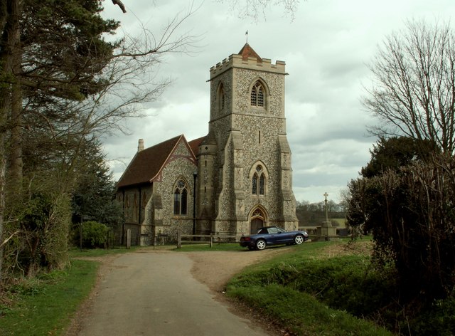
St Nicholas' Church, Berden

St Nicholas' Church is a Grade I listed parish church in the village of Berden, Essex, England. Of the Early English Gothic style, the church has a Norman...

Nearby Amenities

Located within 500m of 51.917732,0.13279746
Uppend
Place: hamlet
Lat/Long: 51.9164882/0.1312683
Information: guidepost
Source: GPS
Tourism: information
Lat/Long: 51.9194869/0.1383533
Addr Housename: Frog Hall
Lat/Long: 51.9153609/0.1357493
Addr Housename: Beeches
Lat/Long: 51.9156985/0.1338208
Addr Housename: Littlebrook House
Lat/Long: 51.9158291/0.130814
Addr Housename: Bourne Cottage
Lat/Long: 51.9156107/0.135937
Information: guidepost
Tourism: information
Lat/Long: 51.9199183/0.1384806
Information: guidepost
Tourism: information
Lat/Long: 51.9196188/0.131548
The data included in this document is from www.openstreetmap.org. The data is made available under ODbL.

Have you been to Ley Wood?

Leave your review of Ley Wood below (or comments, questions and feedback).