Shootfield Wood
Wood, Forest in Kent Sevenoaks
England
Shootfield Wood
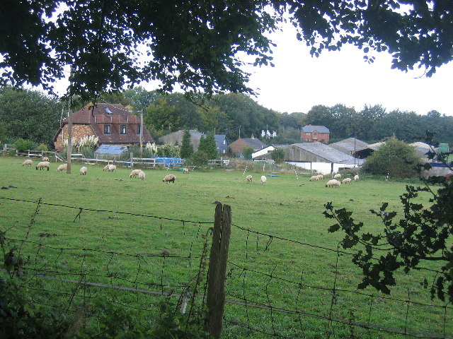
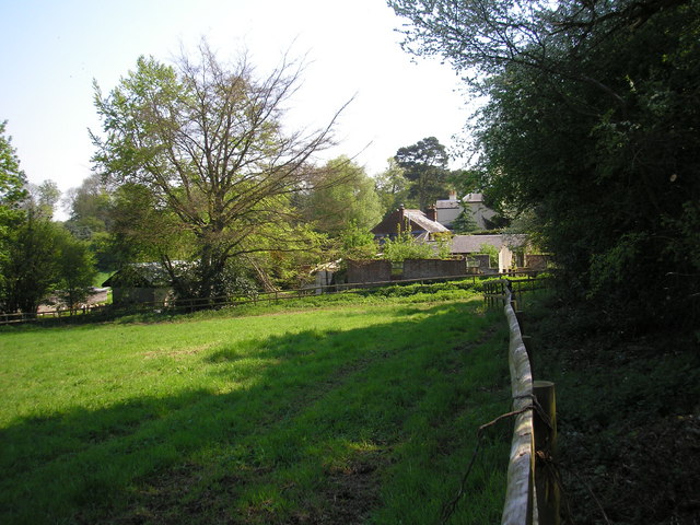
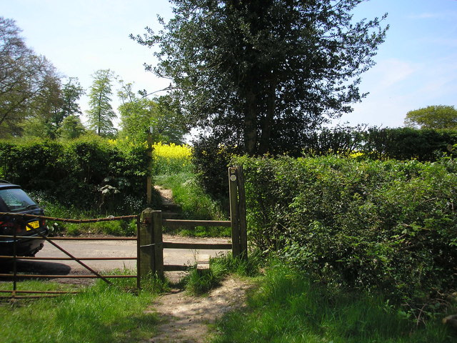
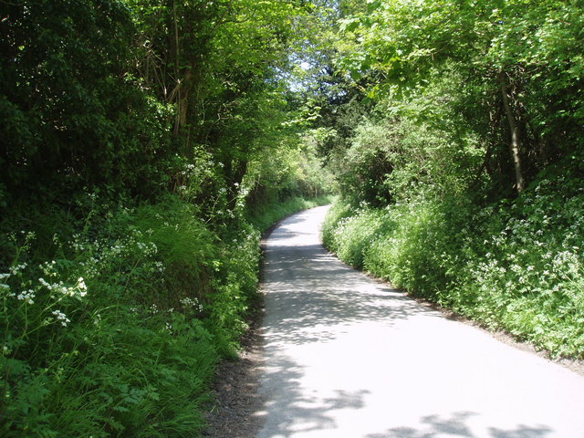
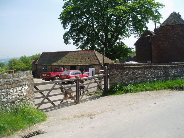
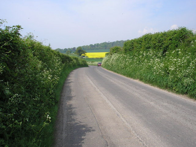
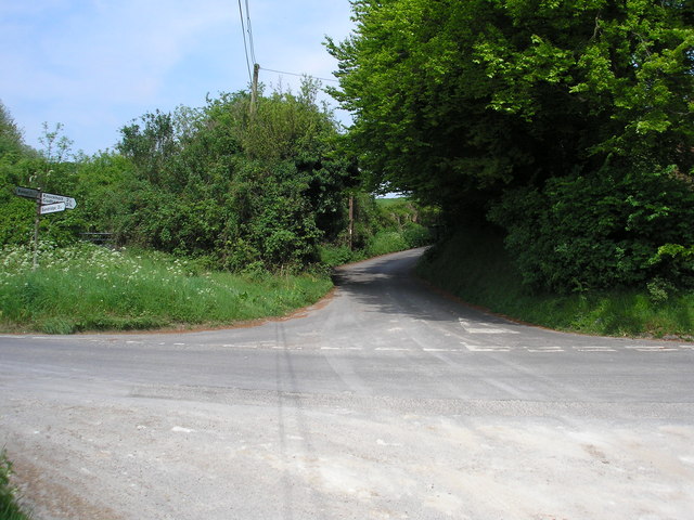
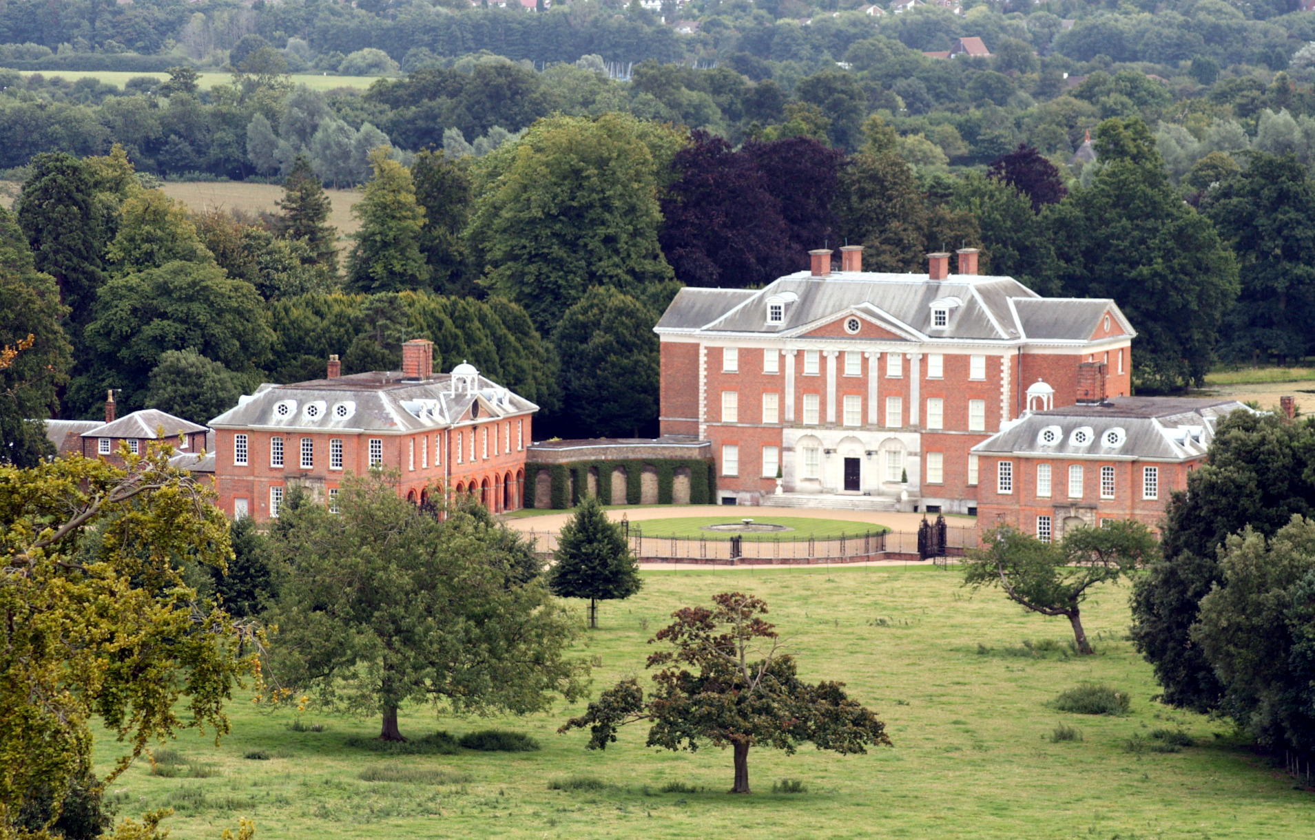
Shootfield Wood is a picturesque woodland located in the county of Kent, England. Covering an area of approximately 50 acres, it is a popular destination for nature enthusiasts and outdoor enthusiasts alike. The wood is situated near the village of Shootfield, hence its name, and is easily accessible by car or foot.
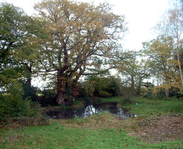
The wood boasts a diverse range of tree species, including oak, beech, and birch, which create a stunning and tranquil atmosphere. The dense canopy provides ample shade during the summer months and a vibrant display of colors during autumn. The forest floor is covered with a rich carpet of moss, ferns, and wildflowers, adding to the natural beauty of the surroundings.
Shootfield Wood is also home to a variety of wildlife, making it a haven for nature lovers. The wood provides a habitat for numerous bird species, such as woodpeckers, owls, and warblers, which can be spotted and heard throughout the year. Squirrels, foxes, and deer are also frequently sighted, adding to the charm and allure of the wood.
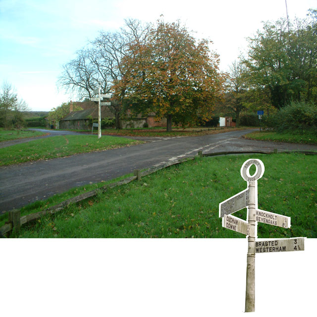
Visitors to Shootfield Wood can enjoy a range of activities, including walking, hiking, and picnicking. There are numerous well-maintained trails that wind through the wood, allowing visitors to explore the area at their own pace. The peaceful and tranquil atmosphere makes it an ideal location for a leisurely stroll or a family outing.
Overall, Shootfield Wood in Kent is a beautiful and serene woodland, offering visitors a chance to immerse themselves in nature and experience the tranquility of the natural world.
If you have any feedback on the listing, please let us know in the comments section below.
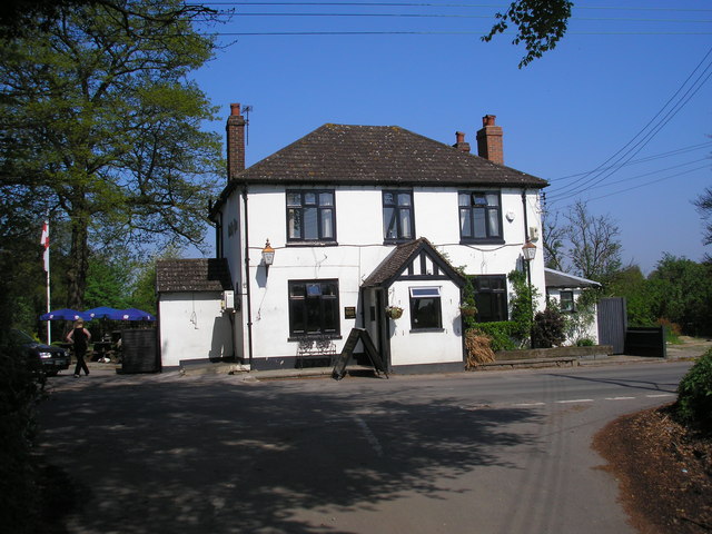
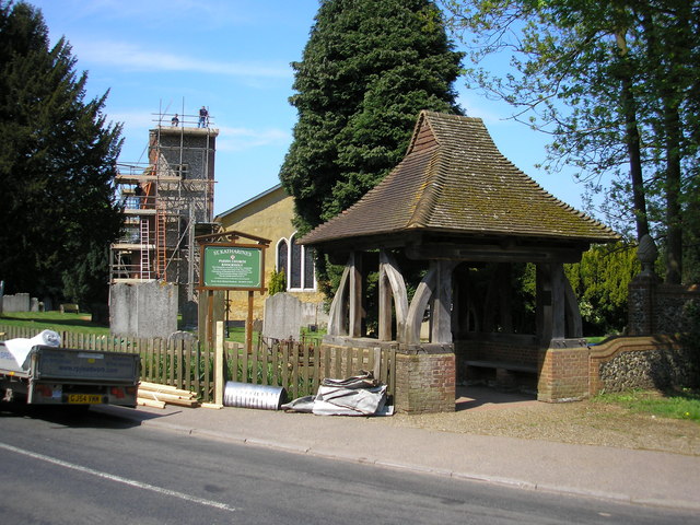
Shootfield Wood Images
Images are sourced within 2km of 51.297256/0.099751554 or Grid Reference TQ4657. Thanks to Geograph Open Source API. All images are credited.


Shootfield Wood is located at Grid Ref: TQ4657 (Lat: 51.297256, Lng: 0.099751554)
Administrative County: Kent
District: Sevenoaks
Police Authority: Kent
What 3 Words
///adding.comet.gently. Near Sundridge, Kent
Nearby Locations
Related Wikis

Knockholt
Knockholt is a village and civil parish in the Sevenoaks District of Kent, England. It is located 5 mi (8 km) north west of Sevenoaks & 5.7 mi (9.2 km...

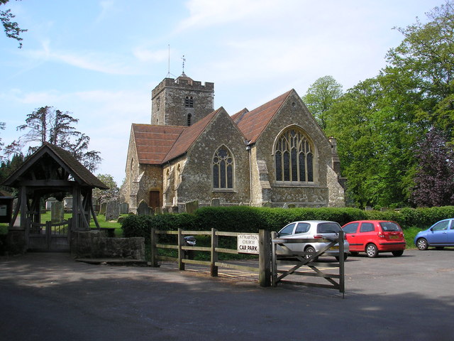
St Katharine's Church, Knockholt
St Katharine's Church is an Anglican parish church in the village of Knockholt and the Sevenoaks deanery. St Katharine's and St Margaret's came together...

Brasted railway station
Brasted is a disused intermediate railway station in Brasted, Kent on the closed Westerham Valley branch line. The station closed in 1961 and the site...
Horns Green
Horns Green is an area in the London Borough of Bromley located to the south of Cudham near the boundary with Kent. == References ==
Chevening
Chevening House () is a large country house in the parish of Chevening in Kent, England. Built between 1617 and 1630 to a design reputedly by Inigo Jones...

Radnor House Sevenoaks School
Radnor House Sevenoaks School (formerly Combe Bank School) is a coeducational private day school located in Sundridge (near Sevenoaks) in the English county...

R. Durtnell & Sons
R. Durtnell & Sons was an English building company established in 1591 that had been continuously in the same family in Brasted, in the English county...

Brasted
Brasted is a village and civil parish in the Sevenoaks District of Kent, England. Brasted lies on the A25 road, between Sundridge and Westerham; the road...
Nearby Amenities
Located within 500m of 51.297256,0.099751554Have you been to Shootfield Wood?
Leave your review of Shootfield Wood below (or comments, questions and feedback).