Perry Wood
Wood, Forest in Kent Sevenoaks
England
Perry Wood
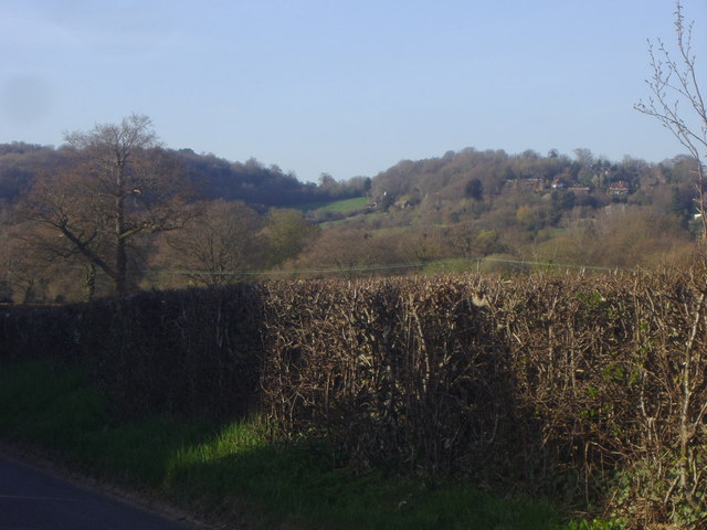
Perry Wood is a picturesque woodland area located in the county of Kent, England. Spanning over 100 acres, it is a designated Site of Special Scientific Interest (SSSI) and is managed by the Kent Wildlife Trust. The wood is situated near the village of Selling, just a few miles southeast of the city of Faversham.
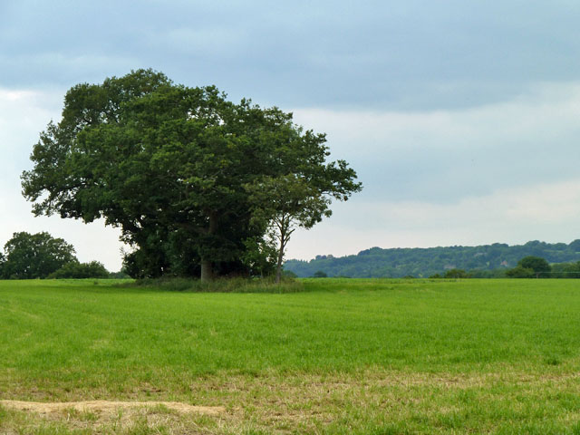
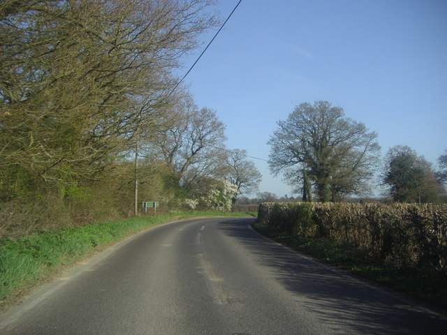
The woodland is predominantly composed of ancient oak and sweet chestnut trees, creating a dense and diverse canopy that provides a haven for a wide range of flora and fauna. The forest floor is carpeted with bluebells in the spring, creating a stunning display of color. Other notable plant species found in Perry Wood include wild garlic, wood anemone, and primrose.
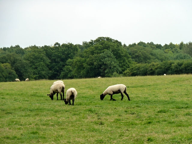
The wood is home to a variety of bird species, making it a popular destination for birdwatchers. Visitors may spot woodpeckers, tawny owls, and various songbirds among the treetops. The reserve also harbors a diverse population of mammals, including deer, foxes, and badgers.
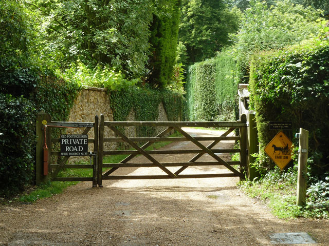
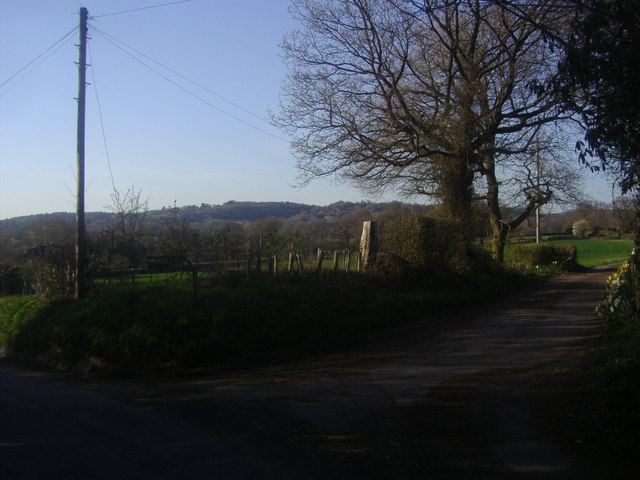
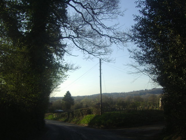
Perry Wood offers several walking trails, allowing visitors to explore its natural beauty at their own pace. These trails vary in length and difficulty, catering to both casual walkers and more experienced hikers. The wood also features a picnic area, making it an ideal spot for families to enjoy a day out in nature.
Overall, Perry Wood in Kent is a stunning forested area that offers a tranquil and enchanting experience for nature lovers and outdoor enthusiasts alike. Its rich biodiversity and scenic beauty make it a cherished natural treasure in the region.
If you have any feedback on the listing, please let us know in the comments section below.
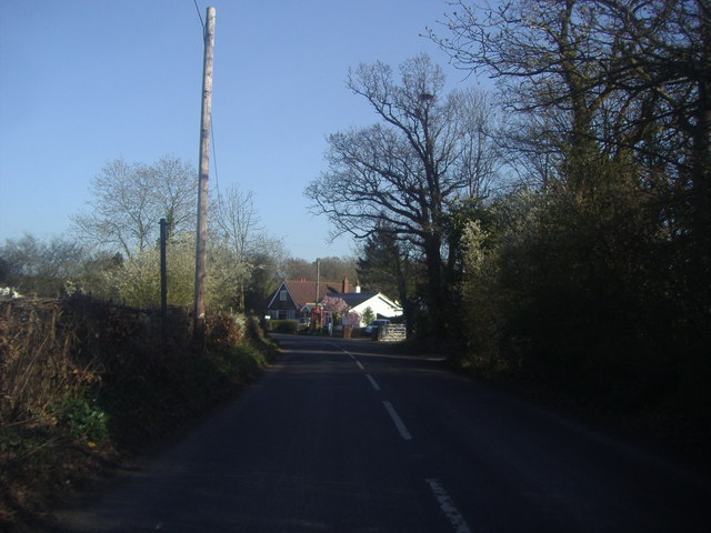
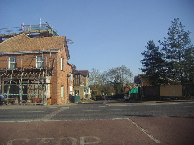
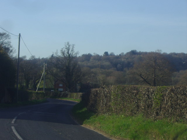
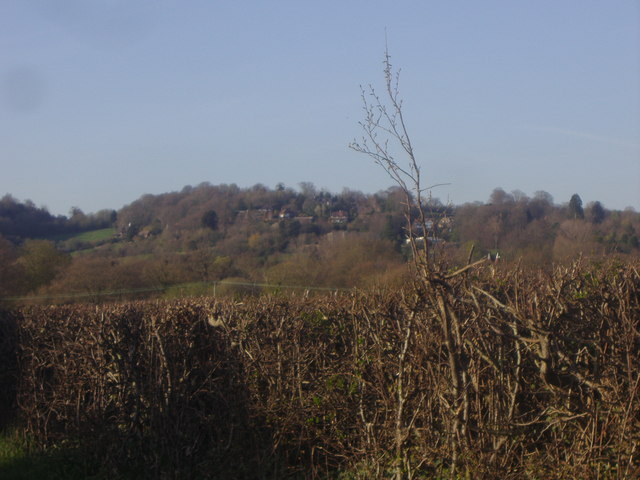
Perry Wood Images
Images are sourced within 2km of 51.233188/0.093796451 or Grid Reference TQ4650. Thanks to Geograph Open Source API. All images are credited.

Perry Wood is located at Grid Ref: TQ4650 (Lat: 51.233188, Lng: 0.093796451)
Administrative County: Kent
District: Sevenoaks
Police Authority: Kent
What 3 Words
///organs.kick.sooner. Near Westerham, Kent
Nearby Locations
Related Wikis

Toys Hill
Toys Hill is a hamlet which lies within Brasted civil parish in the Sevenoaks district of Kent, England. It lies to the south of Brasted Chart, also in...

Chartwell
Chartwell is a country house near Westerham, Kent, in South East England. For over forty years it was the home of Sir Winston Churchill. He bought the...

Four Elms
Four Elms is a village within the civil parish of Hever in the Sevenoaks District of Kent, England. The village is located on a crossroads between Edenbridge...

Holy Trinity Church, Crockham Hill
Holy Trinity Church is a Church of England parish church based in Crockham Hill, Kent, England. It was constructed in 1842 and is a Grade II listed building...

Crockham Hill
Crockham Hill is a village in the Sevenoaks district of Kent, England. It is about 3 miles (5 km) south of Westerham, and Chartwell is nearby. The village...

Scord's Wood and Brockhoult Mount
Scord's Wood and Brockhoult Mount is a 252.3-hectare (623-acre) biological Site of Special Scientific Interest west of Sevenoaks in Kent. Scord's Wood...

Emmetts Garden
Emmetts Garden is an Edwardian estate located at Ide Hill, near Sevenoaks in Kent, UK. It is now owned by the National Trust for Places of Historic Interest...

Westerham Mines
Westerham Mines is a 25.4-hectare (63-acre) biological Site of Special Scientific Interest south of Westerham in Kent.The main interest of this site lies...
Nearby Amenities
Located within 500m of 51.233188,0.093796451Have you been to Perry Wood?
Leave your review of Perry Wood below (or comments, questions and feedback).